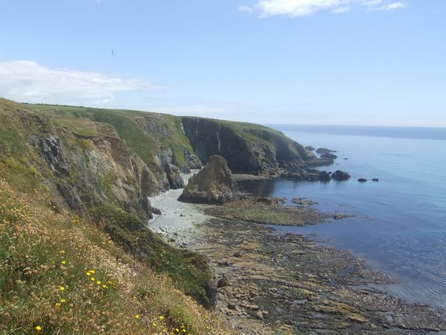
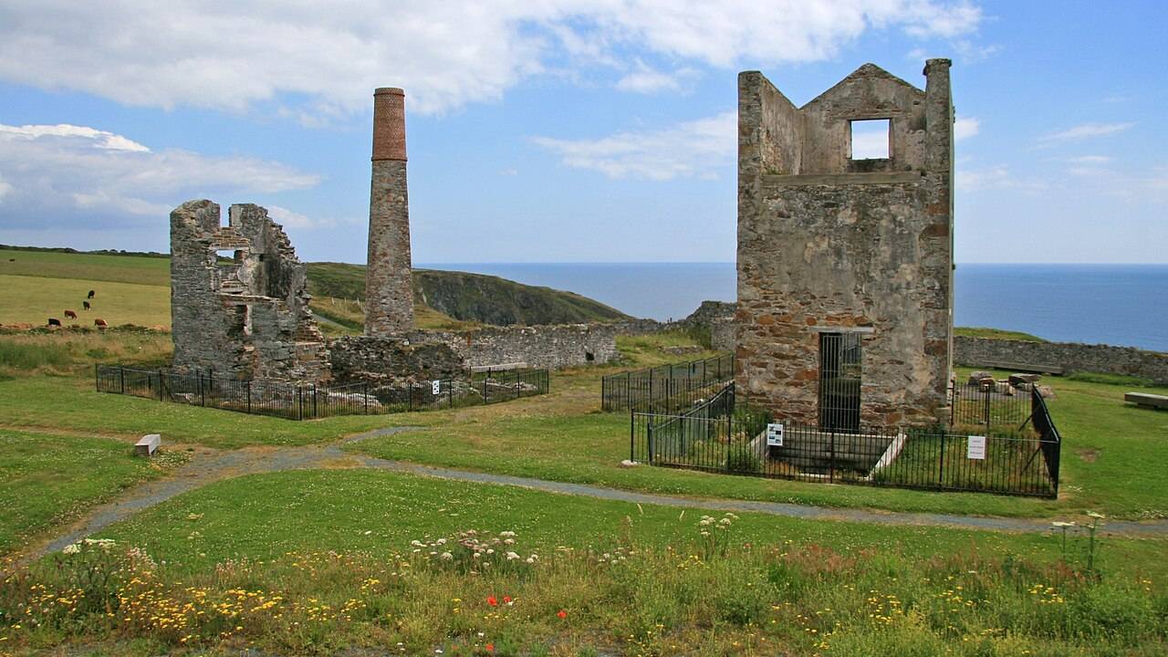
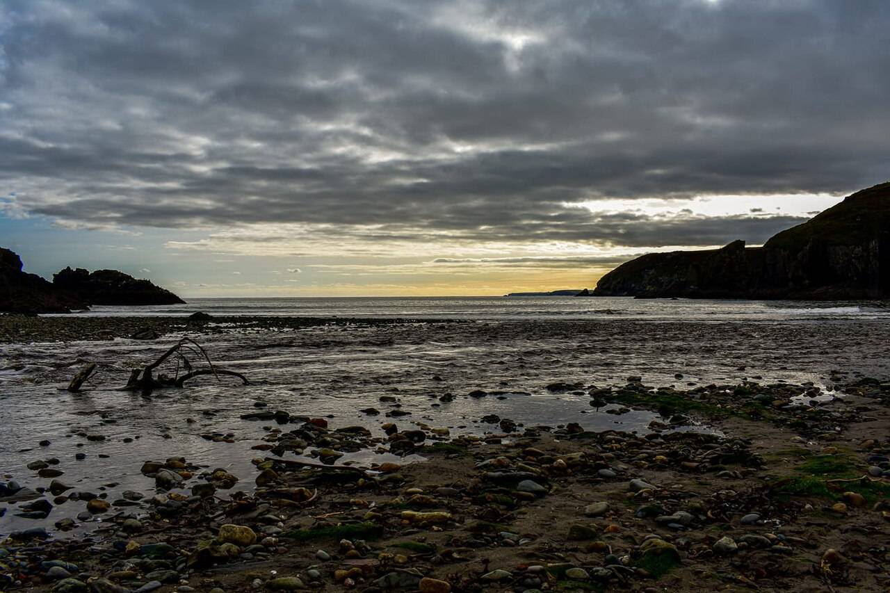
Explore County Waterford’s coves, geology and copper-mining heritage. Start with the film, listen in English or Hindi, then choose your stops and plan a coastal day.
Choose a starting point for the stops below. The link keeps your selection so you can share it in a message or save it for later.
What is in each plan?
Half-Day Coastal Highlights: Kilfarrasy, Annestown, Tankardstown and Bunmahon. Allow extra time for driving, lunch and changing coastal conditions.
Full 7-Stop Heritage Drive: Tramore to Dungarvan through the original seven stops. This is a full day with optional shore visits; check admission, tide and access.
Short Mining-Story Drive: Tankardstown and Bunmahon with an optional Geopark visitor-centre break. Confirm opening and weather; the outdoor remains are exposed.
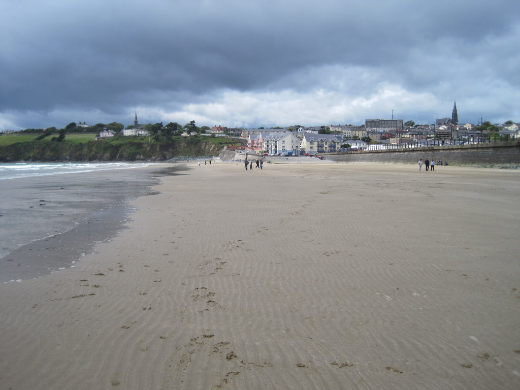
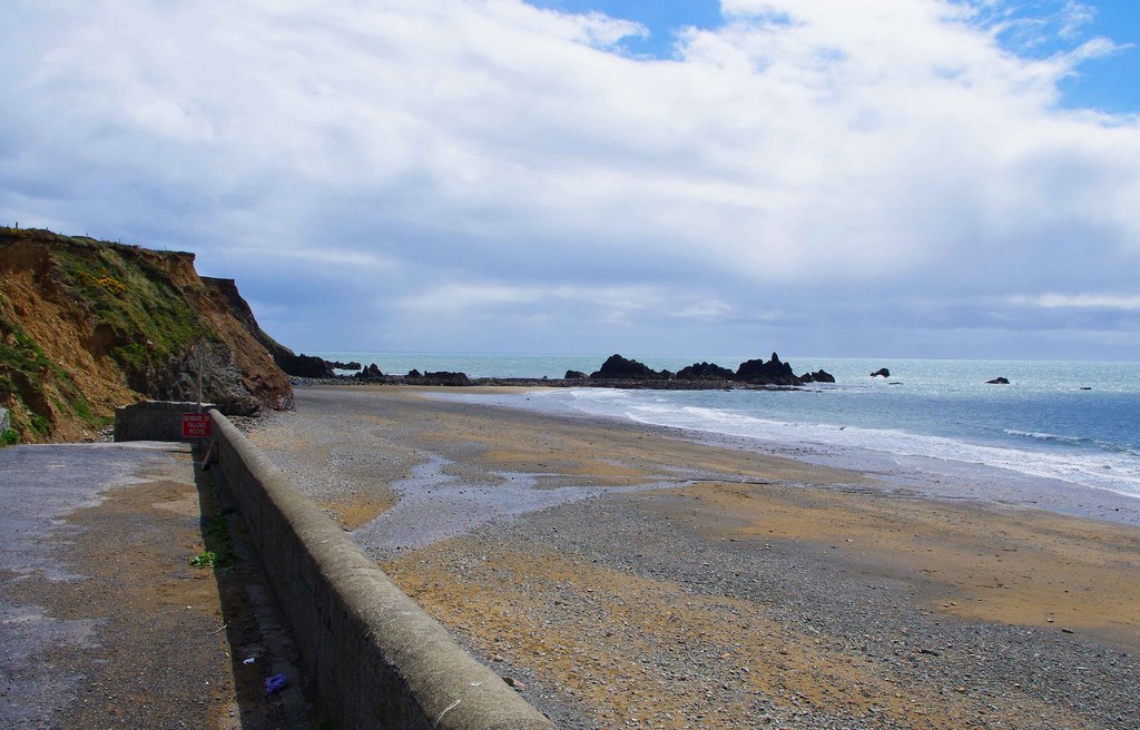
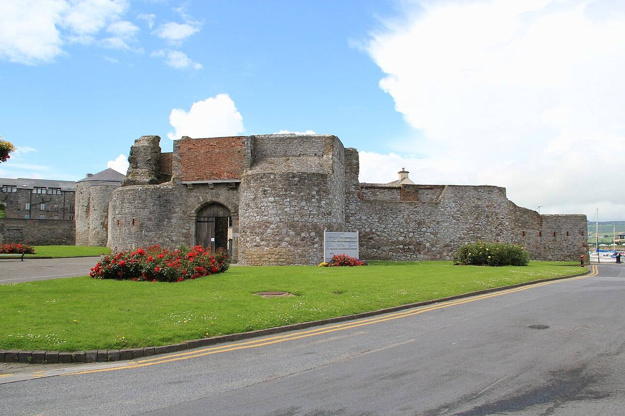
Tramore Strand, Kilfarrasy Beach, Annestown Beach, Tankardstown Engine House, Bunmahon Strand, Stradbally Cove and Dungarvan Castle. This is an editorial east-to-west selection, not the boundary of the Geopark.
How long does the drive take?
Road times and distances for this sequence have not been independently verified. Suggested time at each stop is separate from driving time. Use the live directions links and choose fewer stops if the available day or conditions require it.
Where can I plan a facilities break?
The linked council information lists seasonal beach toilets at Tramore and Bunmahon. The Copper Coast Café is at the Geopark Visitor Centre in Bunmahon. Check current opening and availability before relying on either; see the source-linked facilities below.
Does the audio have a chapter for each stop?
No. English and Hindi tracks are continuous whole-coast narrations. The stop choices and related documentary chapters are separate. Listen while connected, and use the written place pages for practical details.
By Nick · Guide updated . Practical source-check dates are listed separately below; this update does not establish current opening or access.
Map tiles are unavailable in this browser. This schematic shows selected place points in order, not a road route. Select a numbered point or use the stop links below.
The numbered points are mapped places. The dashed line shows stop order, not a drivable road or safe walking route. Open each leg for current directions.
The film links below open related chapters. They do not verify that footage depicts each exact stop.
How we rate stops Signature: distinctive coast or heritage Worth a stop: adds variety Optional: useful start or finish
These are editorial picks, not safety ratings or visitor reviews. Skip exposed places when conditions are poor.
The useful details
Stops between the views.
Named facilities are linked to their source. Opening hours, access and availability can change; check before setting off.
For the drive
Take the plan with you.
Choose a map, place guides, practical details and navigation codes for your PDF.
Notes for the road
Sources: Copper Coast UNESCO Global Geopark, Waterford City & County Council, Discover Ireland and OpenStreetMap contributors. Prepared 24 September 2026.
Find your bearings
Places along the coast.
Points mark named places, not parking entrances. The connecting line shows their order and is not a road route.
Loading map. The place list below remains available.
Before there was a coastal road, there was a sea floor. Then came the mines.
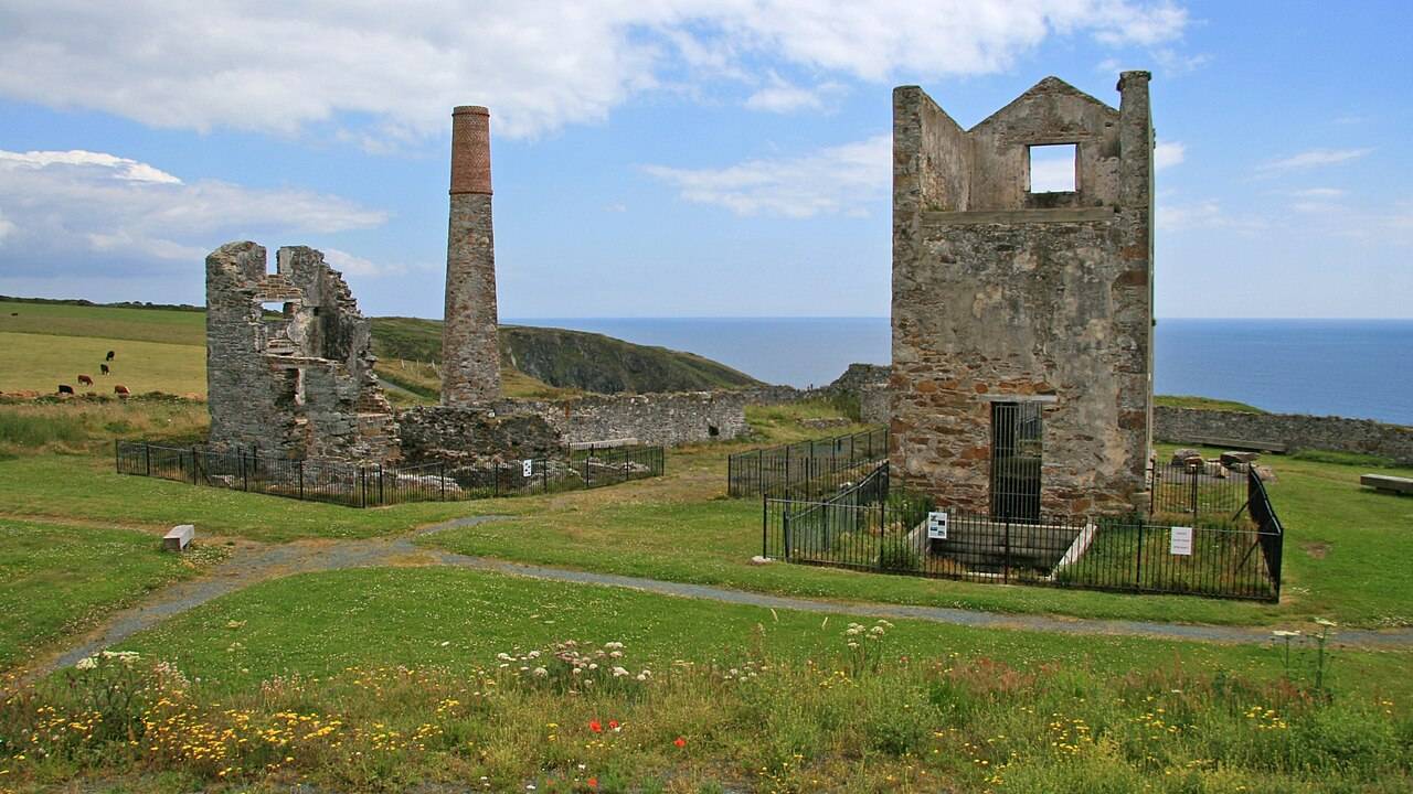
Waterford’s Copper Coast is a UNESCO Global Geopark whose rocks record changing ancient environments. In the nineteenth century, copper mining left another layer on the landscape. The engine house at Tankardstown and the village of Bunmahon bring that human history into view.
This guide follows a selection of places between Tramore and Dungarvan. It is designed to accompany the published film and to give you a grounded starting point for your own visit.
The documentary
Watch the Copper Coast film.
Ireland’s Copper Coast: The Mines Beneath the Sea is available on TheLazyNick Ireland’s YouTube channel. Select play to connect to YouTube, or open the video there.
Video: TheLazyNick Ireland. The field guide’s practical details remain source-linked and should be checked before travel.
The listening guide
Listen to the coast.
Listen to a continuous guide to the coast’s geology and mining history in English or Hindi. Choose a language, then load the track while connected.
English audio guide. Press play when you are ready.
This is a whole-coast narration. The seven itinerary stops are independent places, not seven claimed audio chapters. Read the field guide for source-linked details.
Why go to Copper Coast?
The Copper Coast is more rewarding when you understand what connects the stops. Its rocks record landscapes much older than the nineteenth-century mining buildings, while the surviving engine houses explain the industrial story behind the name. Start in Bunmahon at the UNESCO Global Geopark visitor centre when open, then take that context outside. A few well-chosen stops usually give a stronger visit than a race to photograph every beach.
Treat the coast as a collection of separate places rather than a continuous promenade. Cove access, parking, tides and sea conditions differ. Kilfarrasy is useful for a first close look at the rocky shoreline; Tankardstown provides a clear mining landmark; Bunmahon gives the day a practical village base. Annestown and the Ann Valley add a walk, while the western coves support a slower second outing. The point of a multi-day stay is room to wait for better conditions, not a requirement to cover extra distance.
Our three local day plans divide the area into manageable themes: Bunmahon and mining, the eastern coast and valley, then western coves. They suit travellers based in or near the coast, with meals and transfers added separately. If you have only one day, choose the first plan and perhaps one additional cove; do not compress all three. In rough weather, preserve the visitor-centre stop if it is open and remove exposed beach time rather than trying to keep a rigid schedule.
When should you go?
April–September gives the most flexibility for an outdoor itinerary, with May, June and September our editorial preference. The month is less important than wind, sea state and daylight for an individual cove visit. Tide predictions do not guarantee safe access.
Tap a month for the tradeoff. These are editorial seasonal patterns; weather varies.
JanChallenging
Plan a short visit around a confirmed indoor opening; exposed coves may be unsuitable.
FebChallenging
Winter seas and short days favour village stops and flexible viewpoints over shore exploration.
MarMixed
Use a compact route and check visitor-centre hours before committing to the coast drive.
AprGood
Longer days support the visitor centre plus a few coves, with layers for coastal wind.
MayGood
A strong month for slow photography and a separate Ann Valley walking day.
JunGood
Long daylight gives more room to change the stop order around weather and tide.
JulGood
Check parking and seasonal facilities; a busy beach is not evidence of safe swimming.
AugGood
Allow buffers at popular coves and avoid squeezing too many stops into a single day.
SepGood
A useful shoulder-season choice; confirm cafés and facilities as summer schedules change.
OctMixed
Keep walks earlier and consider a shorter route if wind or showers increase.
NovChallenging
Prioritise confirmed heritage openings and be ready to abandon exposed shore stops.
DecChallenging
Check holiday hours; a coast road drive does not guarantee beach or toilet access.
Does it fit your trip?
Five editorial suitability scores, each out of five. Open a category to see the reasoning. These are not visitor averages. How we rate.
Scenery5 / 5
A series of distinct coves, rock formations and sea views makes the landscape the main attraction.
Heritage4 / 5
Mining remains and the Geopark’s interpretation add substance; time at the visitor centre improves the route.
Without a car2 / 5
Village bus access exists, but the complete cove sequence needs careful transfer planning and safe last-mile access.
Family suitability3 / 5
Choose easy permitted access, short stays and reliable facilities; cliffs, waves and uneven shore surfaces need close supervision.
Value4 / 5
Much of the appeal is outdoors, but transport and rural accommodation can dominate the budget.
What is the best way to get around?
The best option depends on the stops you choose. These comparisons explain the tradeoffs; routes, availability and fares need a current check.
Drive between distinct cove stops
Best for the full sequence because geosites are spread along the coast. Use designated parking and walk only from permitted access points. The pins are place references, not a claim that a vehicle can reach the shoreline. Add time for narrow roads and parking.
TFI identifies route 367 between Tramore and Dungarvan serving villages including Annestown, Bunmahon and Stradbally. Verify today’s timetable and stops before relying on it. Not every cove is a safe walk from a bus stop, so choose a smaller plan around one village.
A local guide can add geological and mining context. Contact the Geopark for current options and confirm meeting point, walking surface and whether transport is included; a guided walk does not automatically include a coast-wide transfer service.
Combine these local day plans or use just one. Stop times are suggested visit allowances, not opening hours or travel times. Leave additional time for meals and transfers.
Start with the geological and mining interpretation if open. Confirm current hours before travelling and ask which sites best suit the day’s conditions.
Use the outdoor interpretation to connect the rock story with the coastline. Check the local walking directions rather than treating the approximate map point as an entrance.
Drive to designated parking and explore permitted areas of the mining remains. Keep away from mine workings and cliff edges; the heritage structures are the focus.
Return to the village for a meal or picnic and a shore view if suitable. Check facilities and conditions independently; no swimming or lifeguard availability is implied.
Look at the coastal geology from safe permitted areas. The Geopark notes that exploring farther towards headlands is tide-dependent; this plan does not require doing so.
Follow the signed valley trail and choose an out-and-back distance that suits the group. Keep a clear turnaround time and return to your starting transport; the point is not a verified trail entrance.
Begin with a compact cove visit and check conditions before descending. Use current signs to find parking; the map marks the cove rather than a parking entrance.
Choose a permitted viewpoint or short shore visit according to tide and weather. Leave time to turn back safely; there is no requirement to reach a sea stack or pass beneath cliffs.
Finish with the village and a cove walk when conditions permit. Allow the return walk and a meal break before onward travel, and confirm any bus connection in advance.
Before entering a cove, check the local tide, swell, wind, warnings and visible escape route. Never go around a headland merely because the predicted tide is low. Stay clear of cliff bases and breaking waves, and leave if conditions worsen.
Keep mining exploration to permitted areas
Tankardstown’s engine-house remains are a heritage stop, not an underground attraction. Do not enter mine workings, shafts or fenced areas. The Geopark’s site information should guide the visit; a photograph is not worth crossing a barrier or unstable edge.
Do not invent a coast path between pins
These are separate access points connected by roads, not a verified continuous walking trail. Narrow roadside sections may have no safe footway. Bus travellers should confirm the exact stop-to-attraction walk, and all travellers should use signed public access.
Plan lunch, water and toilets in advance
Bring water and a picnic backup. The council lists seasonal beach facilities, but their presence in a listing does not guarantee they are open on your date. Make Bunmahon a planned break only after checking the visitor centre and local venue hours.
Choose a beach visit separately from a swim
The itineraries are for shore views and walking, not swimming recommendations. Check current bathing-water information and lifeguard arrangements if you intend to swim, and follow local warnings. An attractive sheltered-looking cove can still have dangerous conditions.
Leave space for photography and weather
The durations are suggested on-site allowances. Add road travel, parking, lunch and a weather buffer. With children or a late start, remove a cove instead of shortening every stop; the experience benefits from enough time to notice the rocks and landscape.
What the ratings and map mean
These are subjective editorial suitability scores, not public-review averages. Coordinates are approximate place locations; they are not verified entrances or a safe route across cliffs. Save the official Geopark map and check signs on arrival.
Your questions, answered
Can I visit the Copper Coast in one day?
Yes. Make Bunmahon, the Geopark visitor centre and Tankardstown the core, then select one cove if conditions and time allow. Two days give room for the Ann Valley or western coves without rushing the road journey.
Is the Copper Coast possible without a car?
A smaller village-based visit is possible using confirmed Local Link services. The whole itinerary is harder because individual coves are spread out and roadside walking may be unsuitable. Confirm the exact return service and last-mile route before booking accommodation.
Are the coves accessible at any tide?
No universal access rule applies. Shore width and routes around rocks change with tide, swell and weather. Follow site-specific information, check conditions on arrival and stay on safe permitted access; a monthly recommendation or forecast cannot guarantee entry.
Your own field notes
Visited? Record your personal category ratings for next time. They stay on this device and are not published or counted as visitor reviews.
Distances are straight-line estimates between catalogue pins, within 30 km. Roads, entrances and walking routes may be much longer. Known closed places are excluded; inclusion does not confirm opening today.
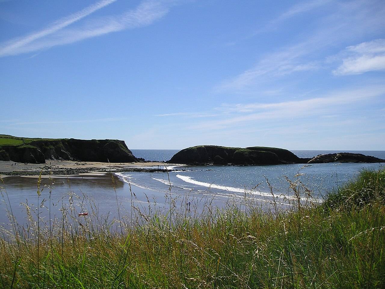
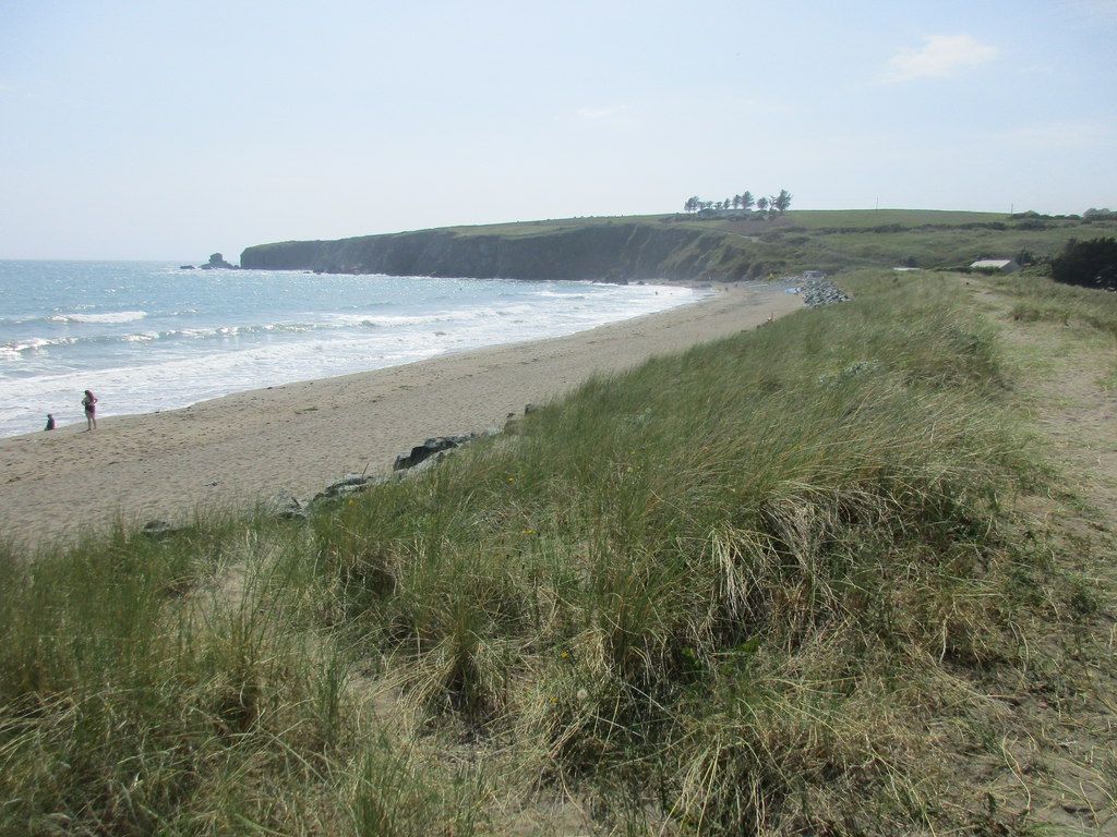
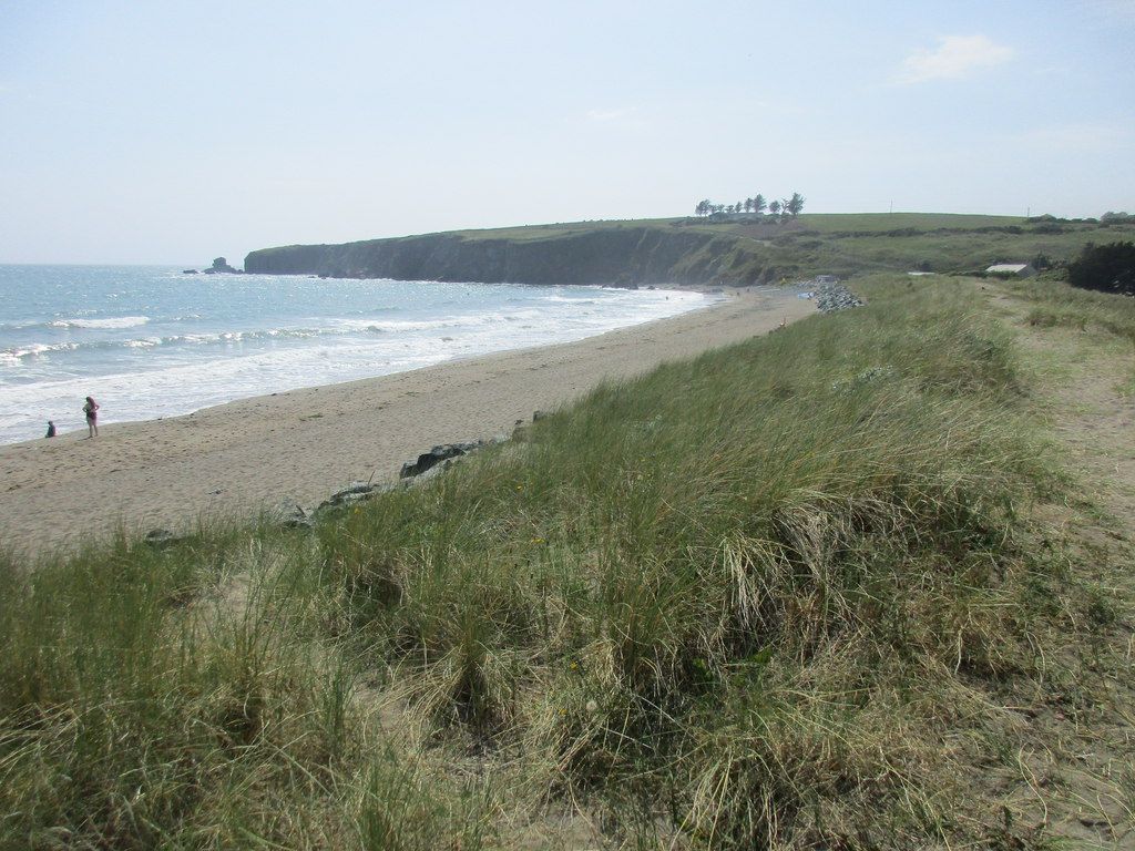
Beach and grassy dunes at Bunmahon. Source photograph; current access and conditions may differ. Photo: Jonathan Thacker ↗ · CC BY-SA 2.0
Bunmahon is the Copper Coast’s useful interpretation stop, combining a village beach setting with the geopark visitor centre and geological garden nearby.
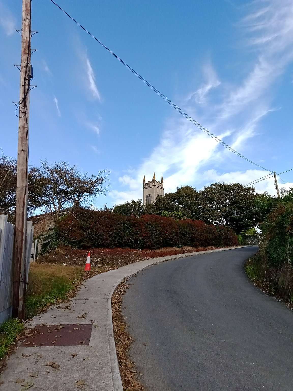
Open place page →The former church building in Bunmahon associated with the geopark visitor centre. Historical source photograph; conditions and access may have changed. Resized from the credited source. Photo: A.-K. D. ↗ · CC BY-SA 4.0
The Copper Coast Geopark Visitor Centre in Bunmahon is the indoor context stop for a route otherwise dominated by exposed beaches, rock and mining remains.
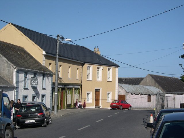
Open place page →Bunmahon village provides location context for the geological garden. This photograph does not show the garden or establish its current access. Photo: Hector Davie ↗ · CC BY-SA 2.0
Bunmahon Geological Garden is a compact outdoor introduction to the Copper Coast’s deep history, using a time path and rock interpretation rather than a long coastal walk.
Tankardstown gives the Copper Coast its clearest industrial stop: the surviving engine-house structures make the mining story tangible above ground.
Open place page →Ballydowane Bay on the Copper Coast. Historical source photograph; conditions and access may have changed. Resized from the credited source. Photo: ethics girl ↗ · CC BY-SA 2.0
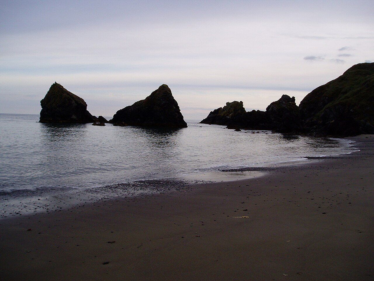
Ballydowane is a quieter Copper Coast beach stop, best approached as a chance to observe the cove and its geology within the shore that is actually accessible.
Open place page →Kilmurrin Cove below the old Tankardstown mine. Source photograph; current access and conditions may differ. Photo: John M ↗ · CC BY-SA 2.0
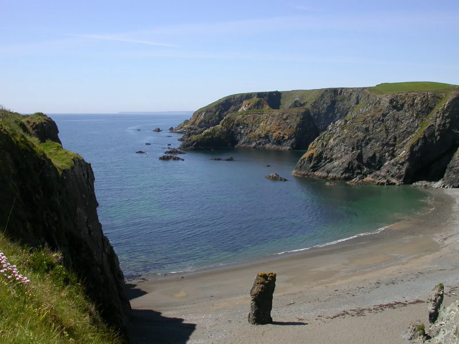
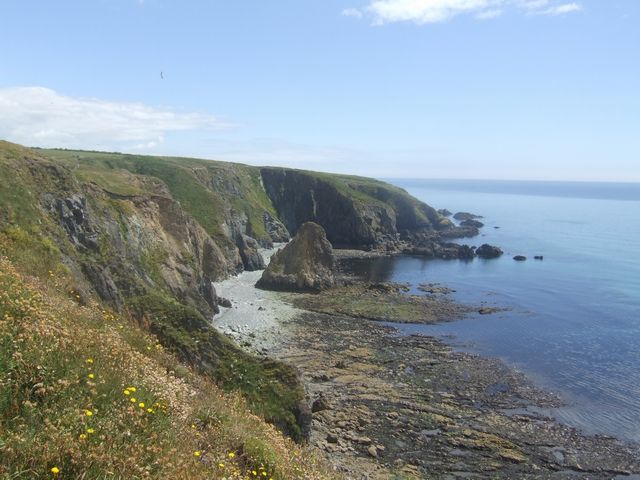
Read the coast in three layers. At Kilfarrasy, start with the ancient volcanic and sedimentary rocks described by the Geopark. At Tankardstown, the conserved engine-house remains bring the nineteenth-century copper-mining story into view. At Stradbally, the lime kiln connects local rock with the built heritage of the coast. Each stop page links the relevant account.
Choose the thread that interests you. A geology-focused visit can linger at a single shore stop; a heritage visit can pair Tankardstown with the visitor centre near Bunmahon, subject to its opening. The beaches and villages also work as independent pauses. The route need not be completed to make the day worthwhile.
The journey in context
Why these seven stops?
The Copper Coast Geopark brings ancient rock, coastal change and former copper mining into one connected story. Kilfarrasy is a strong place to see folded volcanic and sedimentary layers; Tankardstown keeps the 19th-century mining history visible in a conserved engine house. The beaches and coves between them show how different a short stretch of shoreline can feel from one stop to the next. This route is an editorial selection for a day out, not an official geosite boundary or a claim that every attraction is open year-round.
Starting at Tramore gives a broad view of the sea before Kilfarrasy and Annestown invite a closer look. Tankardstown shifts the focus to people and mineral resources. Bunmahon offers a potential visitor-centre break; Stradbally brings the journey back to a small cove. Dungarvan Castle is an optional historical finish outside the core geology story. Use the ordered drive to skip places that do not fit your time or conditions.
The field guide connects the film to each stop with related chapters. Those links explain a theme, not a verified camera position. For current access and heritage details, the source register points to official visitor information. Check tides and weather for shore visits, and do not enter old mine workings. This distinction between story, source and on-the-day conditions is what makes the route useful for planning your own version of the coast.
How to use this guide
Pick a way in: watch the film for the story, listen to the guide, or open the route to choose stops. Read each place page before adding it to your plan. Film chapter links are thematic companions, not proof that every scene depicts the selected place.
Check practical details closest to your visit: weather for the whole day, tides and local access for shore stops, and opening times for the visitor centre or castle. Use the sources for current information and signs on arrival. The printable guide is a reference to carry; it cannot update itself after printing.
Three layers of the coast
A place made by time and work.
The story moves from the ancient rock to the copper boom, and then to the coast people explore today.
01
Ancient ground
The Geopark’s geosites reveal different chapters in the formation of this coastline, with rock that reaches back hundreds of millions of years.
Weather, tides and cliff edges change the experience. Follow local signs and keep back from exposed edges.
Respect the mines
The Tankardstown engine house is publicly accessible, but the underground mine workings require specialist equipment or permission.
Start with the Geopark
The Geopark’s visitor guides and centre offer local information on its geosites, geology and heritage.
Sources & image credit
Verify opening times, routes and access with local providers before travelling. Place points are from OpenStreetMap contributors and mark the named place, not a parking entrance. Guide details were checked on 24 September 2026 against:
Researched for TheLazyNick using the sources below. This is a source-based planning guide, not a claim of a personal visit. The suggested routes, timings and suitability scores are editorial judgements.
Source check: . Check live notices before setting off.
The Marine Institute tide predictions ↗ provide a dated source for planning. Select a relevant station and date there; a station forecast is not a reading for this exact beach or cove. Wind and atmospheric pressure can change actual water levels, so check current conditions and local access before descending to the shore.
Read the full route-stop notes
Eight source places, including the optional Kilmurrin detour. Open a stop for history, geology, access, audio and its place in the drive.
By Nikhil (Nick) · Editorial notes updated . Creator's film companion and editorial route notes; practical details come from the linked visitor sources.
I built this guide around the same question as my Copper Coast film: how does an attractive stretch of shoreline become a story about rocks, work and the people who lived beside them? The documentary gives those subjects a sequence. The written guide gives you the freedom to pause, choose a smaller route and look up the places that caught your attention. I want the page to remain useful after the film ends, when the next question is where to begin your own day.
My selected route moves from Tramore through Kilfarrasy and Annestown to Tankardstown, Bunmahon and Stradbally, with Dungarvan as an optional historical finish. That sequence changes the scale of the story: a broad strand, smaller coves, the mining remains and then village life. It is an editorial selection, rather than a claim that seven stops define the whole Geopark. If the engine house interests you more than another beach, give that part of the day longer and leave something else out.
The film and the English and Hindi audio are different ways into that story. The audio tracks are continuous narrations, so I keep their listening controls separate from the individual stop list. A film chapter can explain a theme without being a location-verified record of every shot at the stop beside it. When you want to compare the geology chapter with the rocks at Kilfarrasy, use the Geopark's explanation and the interpretation on site as the bridge between the two.
For the practical layer, I separate time spent looking from time spent driving. A suggested pause at Tankardstown does not include the journey there, and a Bunmahon stop does not guarantee that an exhibition, café and beach visit all fit before lunch. Coastal weather and tides also belong in the route decision. Read the access notes before choosing a shore stop, keep a shorter version ready and let the actual conditions determine how close to the water your visit goes.
My preferred way to use this companion is to watch first, save a few places and read those individual pages before setting off. Keep the official links with the plan so that opening arrangements and local notices are easy to check. The printable version is there for a useful reference beside the live guide; its map is an orientation aid. The reward is a day with time to notice the connection between the coast's appearance and its much longer human and geological history.