Read the river mouth
Look at the meeting of the river, beach and enclosing coast from a permitted approach.
Ireland / Copper Coast / Place
A smaller cove and a change of pace on the coast road.
Local map loading. The mapped place point is also linked below.
Cove / village
Check local parking and access on arrival.
Suggested visit: 20–40 min. This is an editorial estimate; allow for conditions and your own pace.
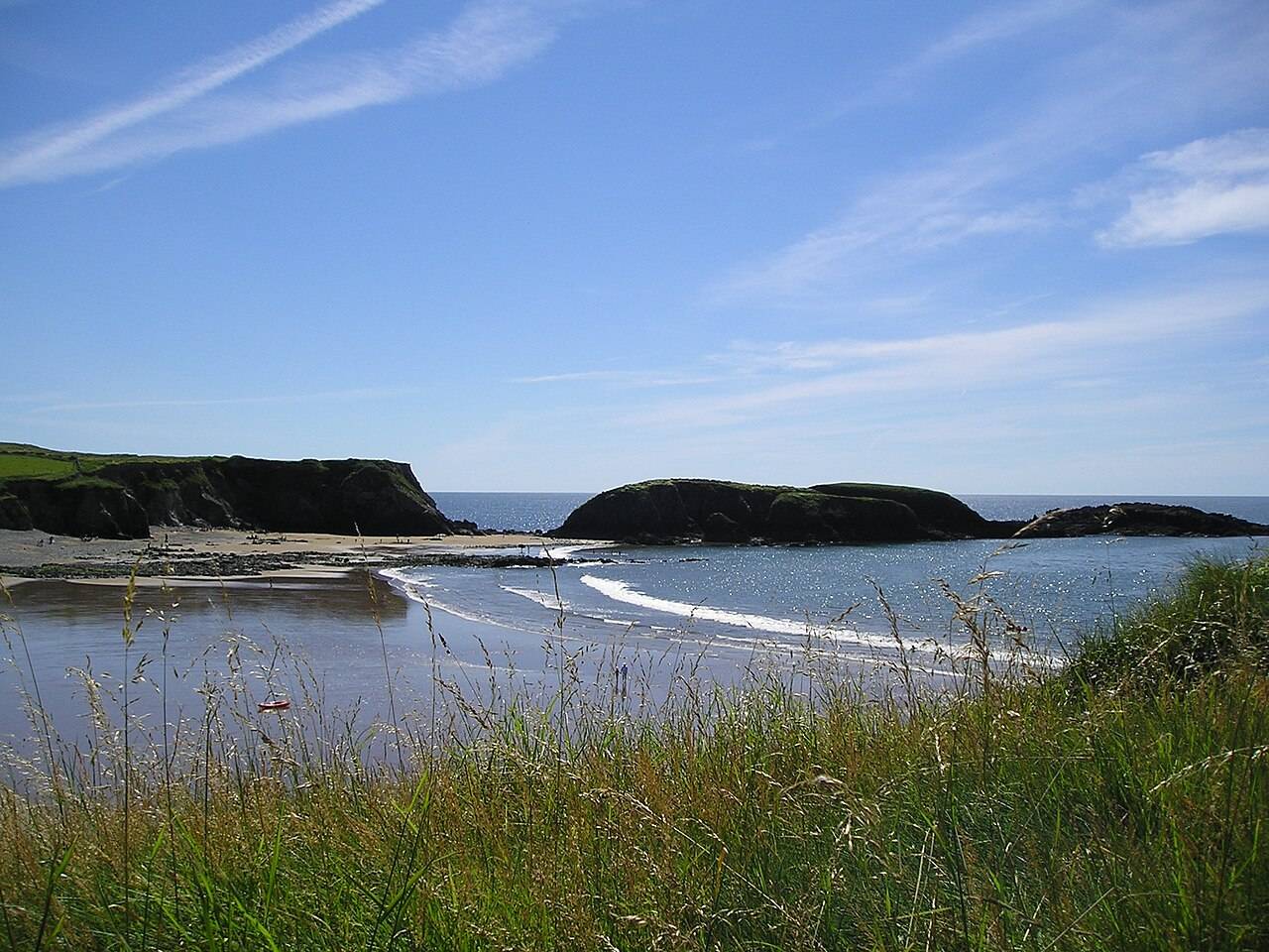
Annestown changes the scale of the journey. Discover Ireland describes a relatively secluded strand with a sea arch and islands, used by surfers and swimmers. That description explains its appeal without turning this page into a recommendation to enter the water: surf, tide and weather can alter the conditions quickly. For a land-based visit, first look across the cove, then decide whether a short walk is suitable. It is a good place to slow down between Kilfarrasy’s exposed rock formations and the industrial heritage at Tankardstown. Discover Ireland: Annestown Beach ↗
Discover Ireland points visitors towards a cliff path above the beach for views, while its beach listing highlights the arch and islands below. The two perspectives offer different ways to understand the cove: from above, you can see how the shoreline fits into the longer drive; from a safe public beach area, you can notice the smaller forms of rock and water. Take the path only where access is permitted and conditions are suitable. Avoid assuming an informal track is a maintained route. If there is limited time, a considered pause with a view is more valuable than trying to cover ground for the sake of another stop. Beach and path description ↗
Discover Ireland lists a free Annestown Strand car park within walking distance of the beach. The map point on this page indicates the named place rather than the car park entrance, so use current directions and signs for arrival. Parking availability, access and sea conditions can change. The 20–40 minute visit suggestion is an editorial estimate for a short look around; it does not account for swimming, surfing or a longer walk. If the beach is busy or conditions are poor, keep the stop brief and preserve time for the route’s later history section. Visitor and parking information ↗
The seven-stop route uses Annestown as a change of pace, not as a claim that every stop needs equal time. The geology chapter at 1:28 in the Copper Coast film ↗ is related background for the shoreline, not proof that a particular frame was filmed here. You can carry the question raised by the beach’s shape westwards: what did the rocks record before the sea carved the cove? Tankardstown, the next stop, shifts from those coastal forms to the people who worked copper-bearing ground nearby.
The source describes both a beach visit and a cliff-path view. Decide on arrival which, if either, suits access and conditions. A short pause overlooking the cove can be enough; the suggested stop time does not require a descent or a walk along an informal track.
If parking is unavailable or conditions make the visit unsuitable, leave Annestown out and carry the time into the history stops. Tankardstown and Bunmahon offer a different subject for the next part of the day. The route is a selection, not a checklist, so a shorter stop does not need to be made up by rushing later.
Source information checked 2026-09-24. Conditions and availability may change; confirm before travelling.
The Marine Institute tide predictions ↗ provide a dated source for planning. Select a relevant station and date there; a station forecast is not a reading for this exact beach or cove. Wind and atmospheric pressure can change actual water levels, so check current conditions and local access before descending to the shore.
Source-based editorial assessment · out of 10
Choose it for a modest outdoor stop with a clear sense of place. The beach and the Ann Valley route are different outings; decide which you are doing before arrival.
Erosion can affect approaches and banks. Respect barriers and avoid cliff edges or the foot of unstable slopes. Check the tide and do not assume an onward shore route remains passable.
Best for: read the river mouth
Planning blend: 6.5 / 10 · Sustainability: unrated
Experience considers the reward and depth of this particular stop. Visitor friendliness considers practical ease: arrival, booking, physical demands, cost and flexibility. These are editorial judgements based on linked information, not visitor averages or a claim of a personal visit.
Assessed . Supporting guide source-check date: 2026-10-19. The assessment date does not mean every linked source was newly checked.
The blend uses (40 × Experience + 55 × Visitor friendliness) ÷ 95, rounded to the nearest half point. Missing sustainability does not affect it. A missing current visit score is not zero and has no blend.
A high score is not a safety clearance or a guarantee of step-free access. Food-stop scores concern the planned visit, not an untested meal. Read the scale and scope · Suggest a correction.
From research
Choose it for a modest outdoor stop with a clear sense of place. The beach and the Ann Valley route are different outings; decide which you are doing before arrival.
Before you go: Erosion can affect approaches and banks.
Place highlights
Look at the meeting of the river, beach and enclosing coast from a permitted approach.
The Ann Valley trail offers an inland alternative, with its own distance, return journey and conditions.
The story behind the visit
At Annestown, erosion is part of the landscape’s present as well as its past. The geopark describes vulnerable glacial deposits here, which is why an attractive shoreline should not be treated as a permanent path. Source ↗
Dated visitor information
Use the village’s signed public access. For the Ann Valley walk, locate the actual trail entrance rather than treating the beach pin as the start of every route. Official visitor information ↗
Source information checked 19 October 2026; confirm current access and visitor arrangements with the operator.
No. A beach pause and a linear valley walk need different time and return arrangements. Source ↗
Nearby options
Distances are straight-line estimates between catalogue pins, within 30 km. Roads, entrances and walking routes may be much longer. Known closed places are excluded; inclusion does not confirm opening today.
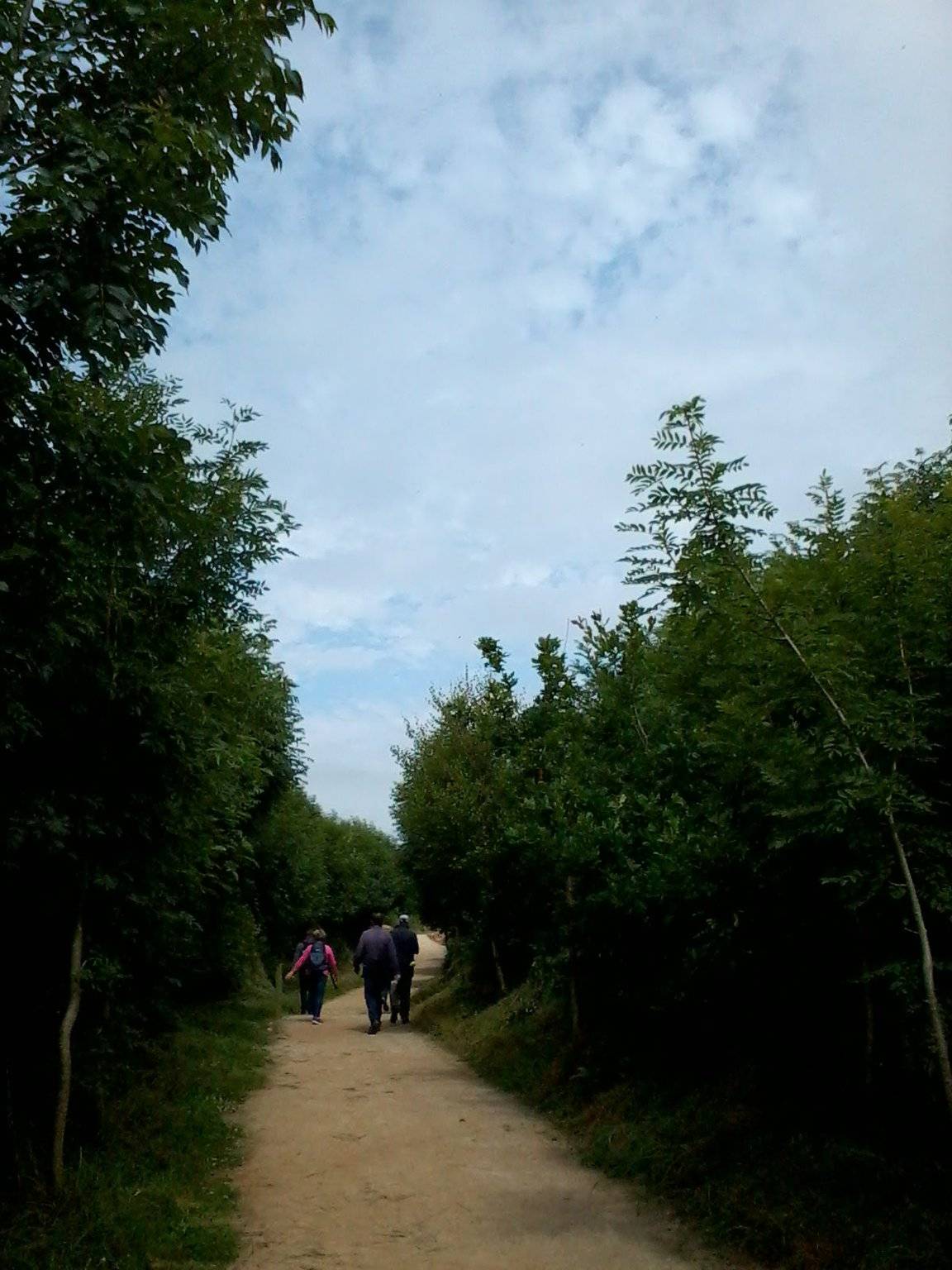
attraction · 0.5 km
The Annestown end of the Ann Valley walk changes the Copper Coast day from exposed shoreline to a river corridor with woodland and wetland.
Open place page →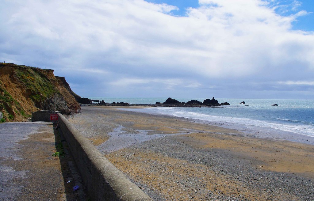
coast · 2.9 km
Kilfarrasy is a compact coastal geology stop where the rock, shingle and enclosing shoreline matter more than a list of facilities.
Open place page →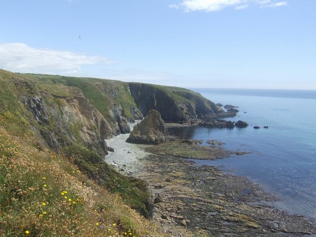
coast · 3.3 km
Kilmurrin is a small cove framed by headlands, useful when you want to stop, look and linger without turning the whole day into a long walk.
Open place page →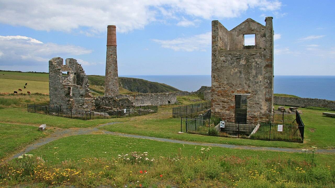
heritage · 4.9 km
Tankardstown gives the Copper Coast its clearest industrial stop: the surviving engine-house structures make the mining story tangible above ground.
Open place page →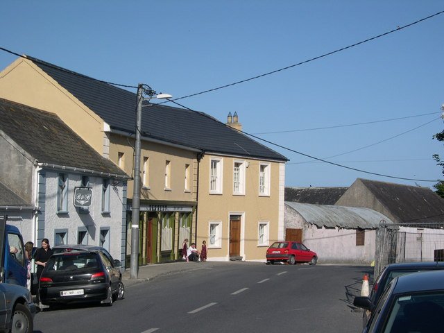
attraction · 6.2 km
Bunmahon Geological Garden is a compact outdoor introduction to the Copper Coast’s deep history, using a time path and rock interpretation rather than a long coastal walk.
Open place page →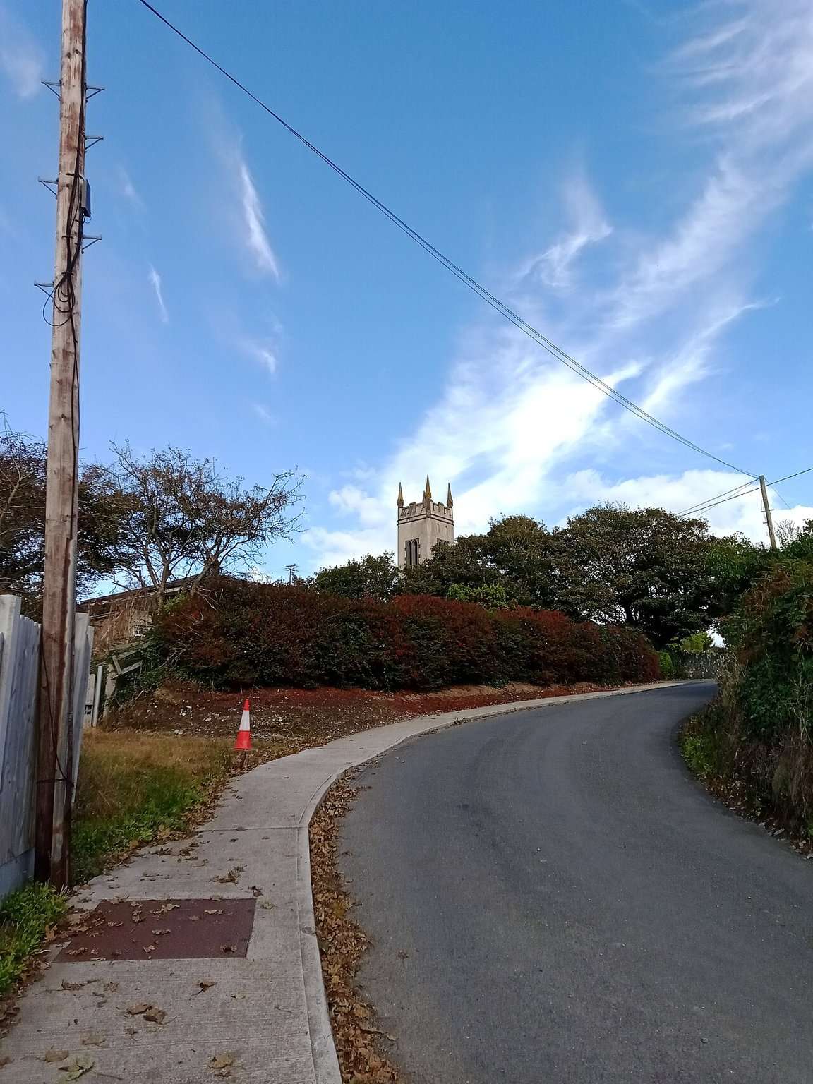
attraction · 6.4 km
The Copper Coast Geopark Visitor Centre in Bunmahon is the indoor context stop for a route otherwise dominated by exposed beaches, rock and mining remains.
Open place page →An older discussion describes the shore changing between pebble and sand with position and tide. Use that as an expectation cue, not as a current access route or permission to cross tide-cut areas.
Original paraphrases of public visitor accounts. These are limited perspectives, not a representative survey or a claim of our own visit. Use current operator information for access and opening.