Look along the shoreline
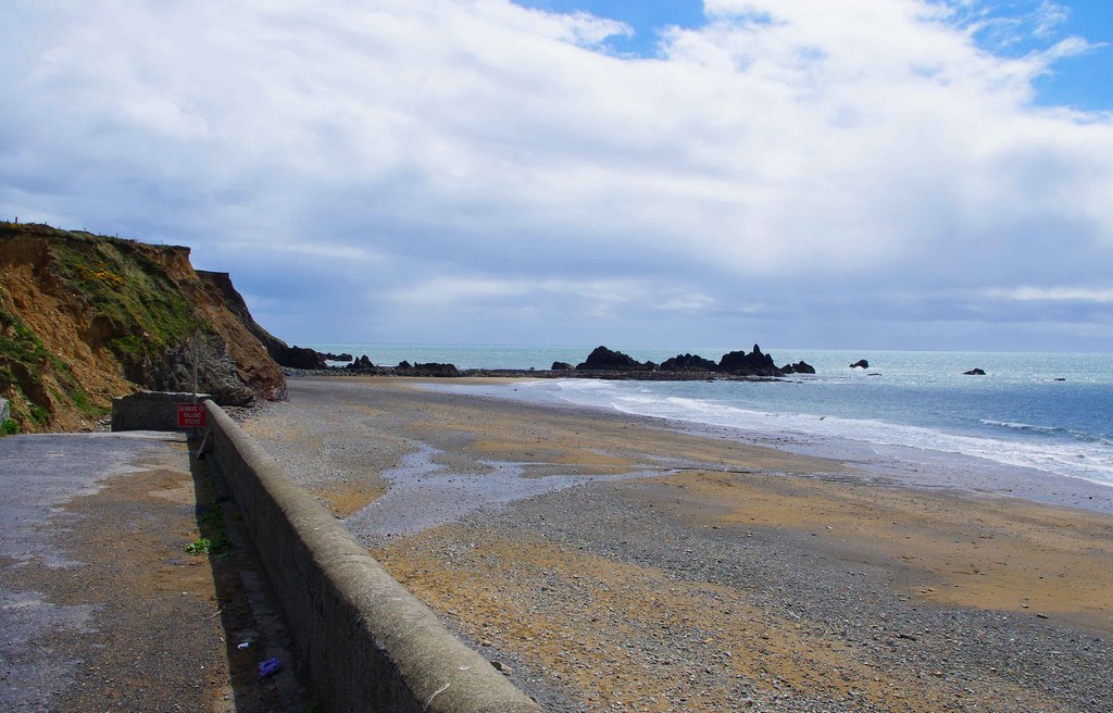
Notice how the rock frames the beach from the established approach.
Ireland / Copper Coast / Place
A striking first encounter with the Geopark’s folded coast.
Local map loading. The mapped place point is also linked below.
Geosite / beach
Rocky shore; use signed access and watch the tide.
Suggested visit: 30–60 min. This is an editorial estimate; allow for conditions and your own pace.
Kilfarrasy rewards a slower look than a quick beach photograph. The Copper Coast Geopark describes a long section of cliffs and bays with roughly 460-million-year-old Ordovician volcanic and sedimentary rocks. Rhyolite and andesite occur alongside shale and slaty layers; the forces that later affected the sedimentary rocks left visible folding and cleavage. You do not need to identify every rock type to enjoy the place. Look for changes in colour, angle and texture, and use the interpretative panel near the access point to connect what you see to the Geopark’s explanation. Geopark: Kilfarrasy Strand ↗
The Geopark identifies a headland with a sea arch towards the western end and another rock arch on the foreshore, along with stacks and other erosion features. Their shapes are the visible result of rock, water and time acting together. The most useful question on arrival is not how many features you can reach, but what is visible safely from the public beach and signed access. A photograph taken from a sensible position can show the contrast between the folded cliff layers and the open water without treating the whole foreshore as a walking route. Geological description ↗
The beach is publicly accessible and the Geopark lists parking, but it explicitly says that exploration towards Kilfarrasy Island to the west or Sheep Island to the east needs low tide. The suggested 30–60 minutes on this page assumes a modest visit from a permitted public area; it is not a promise that a headland walk can be completed in that time. Check the tide and local conditions before leaving home, keep clear of unstable cliff edges and turn back if the intended shoreline access is unsuitable. No mapped point here represents a parking entrance. Geopark access guidance ↗
In the Copper Coast field guide, Kilfarrasy is a signature stop because it gives a practical way to begin asking how this landscape formed. The film’s geology chapter at 1:28 ↗ explores that wider theme, but should not be read as a location-verified shot list for this beach. Use the chapter as context, then read the Geopark panel and source above when you are on site. The next stop, Annestown, changes the pace from an exposed geological section to a smaller beach and village setting.
Spend a few minutes looking before reading the interpretation. Pick a visible feature from a permitted public area: a change in colour, the angle of a layer or a folded section. Then compare it with the Geopark account and panel. The point is to connect what you can see with the explanation, rather than to identify every rock type or reach every feature.
If the intended shore access is unsuitable, change the plan rather than move closer for a photograph. Low tide is one condition mentioned by the Geopark for exploring towards the islands; it is not a guarantee of safe access. A shorter permitted visit, or skipping the stop, is a better choice than treating the foreshore as a route.
Source information checked 2026-09-24. Conditions and availability may change; confirm before travelling.
The Marine Institute tide predictions ↗ provide a dated source for planning. Select a relevant station and date there; a station forecast is not a reading for this exact beach or cove. Wind and atmospheric pressure can change actual water levels, so check current conditions and local access before descending to the shore.
Source-based editorial assessment · out of 10
It rewards a short, attentive shore visit between larger stops. Choose a town beach instead if your priority is predictable services or a smooth promenade.
The geopark records coastal erosion here. Follow current signs, stay away from unstable banks and do not use an old path simply because it appears in a photograph. The usable shore changes with the tide.
Best for: look along the shoreline
Planning blend: 6.5 / 10 · Sustainability: unrated
Experience considers the reward and depth of this particular stop. Visitor friendliness considers practical ease: arrival, booking, physical demands, cost and flexibility. These are editorial judgements based on linked information, not visitor averages or a claim of a personal visit.
Assessed . Supporting guide source-check date: 2026-10-19. The assessment date does not mean every linked source was newly checked.
The blend uses (40 × Experience + 55 × Visitor friendliness) ÷ 95, rounded to the nearest half point. Missing sustainability does not affect it. A missing current visit score is not zero and has no blend.
A high score is not a safety clearance or a guarantee of step-free access. Food-stop scores concern the planned visit, not an untested meal. Read the scale and scope · Suggest a correction.
From research
It rewards a short, attentive shore visit between larger stops. Choose a town beach instead if your priority is predictable services or a smooth promenade.
Before you go: The geopark records coastal erosion here.
Place highlights
Notice how the rock frames the beach from the established approach.
Use Kilfarrasy to begin noticing differences in the Copper Coast’s rock and beach shapes.
The story behind the visit
The Copper Coast’s exposed rocks preserve a much older story than its mines. Kilfarrasy is one place to connect that geological setting with the shoreline visible today. Source ↗
Dated visitor information
Find the signed strand approach and inspect the access before unloading equipment. Do not count on toilets, lifeguards or step-free beach access without current confirmation. Official visitor information ↗
Source information checked 19 October 2026; confirm current access and visitor arrangements with the operator.
This page does not establish a continuous coastal walking route. Use the signed public access for this beach and travel between stops separately. Source ↗
Nearby options
Distances are straight-line estimates between catalogue pins, within 30 km. Roads, entrances and walking routes may be much longer. Known closed places are excluded; inclusion does not confirm opening today.
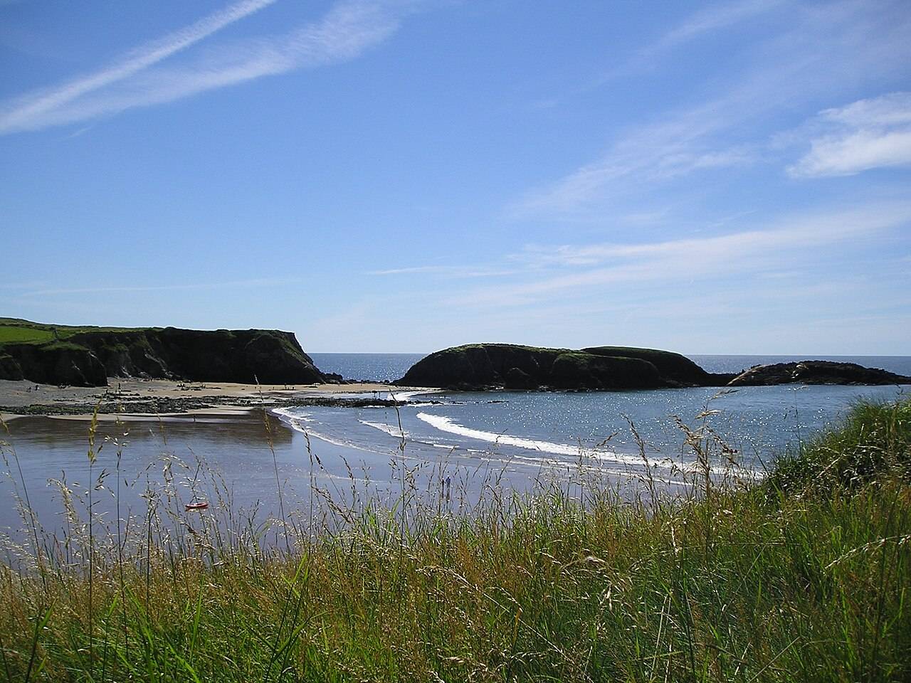
coast · 2.9 km
Annestown brings a small village, a river mouth and a beach into the same view. It works as a quiet shoreline pause or as the coastal end of a separately planned valley walk.
Open place page →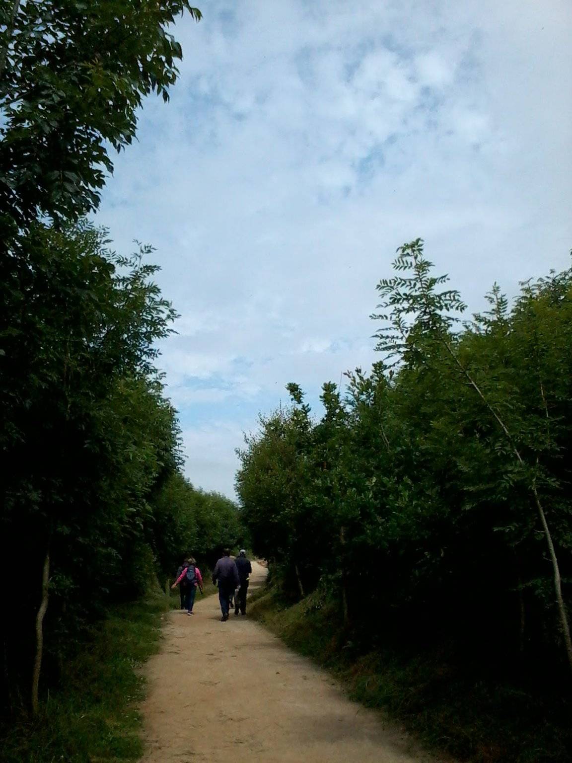
attraction · 2.9 km
The Annestown end of the Ann Valley walk changes the Copper Coast day from exposed shoreline to a river corridor with woodland and wetland.
Open place page →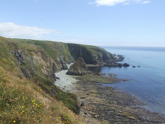
coast · 6.1 km
Kilmurrin is a small cove framed by headlands, useful when you want to stop, look and linger without turning the whole day into a long walk.
Open place page →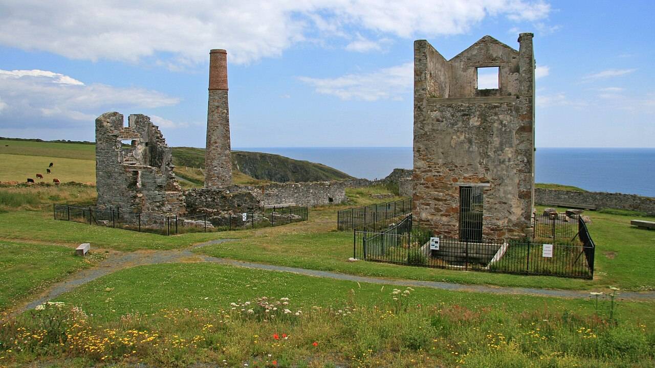
heritage · 7.7 km
Tankardstown gives the Copper Coast its clearest industrial stop: the surviving engine-house structures make the mining story tangible above ground.
Open place page →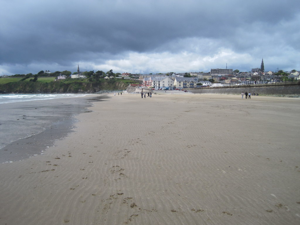
coast · 8.3 km
Tramore is the town-and-strand start to a Copper Coast day: a broad beach, promenade and a choice of places to pause before the smaller coves farther west.
Open place page →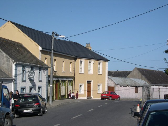
attraction · 9.0 km
Bunmahon Geological Garden is a compact outdoor introduction to the Copper Coast’s deep history, using a time path and rock interpretation rather than a long coastal walk.
Open place page →An older public discussion recommends the beach for scenery but also mentions seaweed and sand flies. Those are individual observations, not predictable conditions or swimming advice.
Original paraphrases of public visitor accounts. These are limited perspectives, not a representative survey or a claim of our own visit. Use current operator information for access and opening.