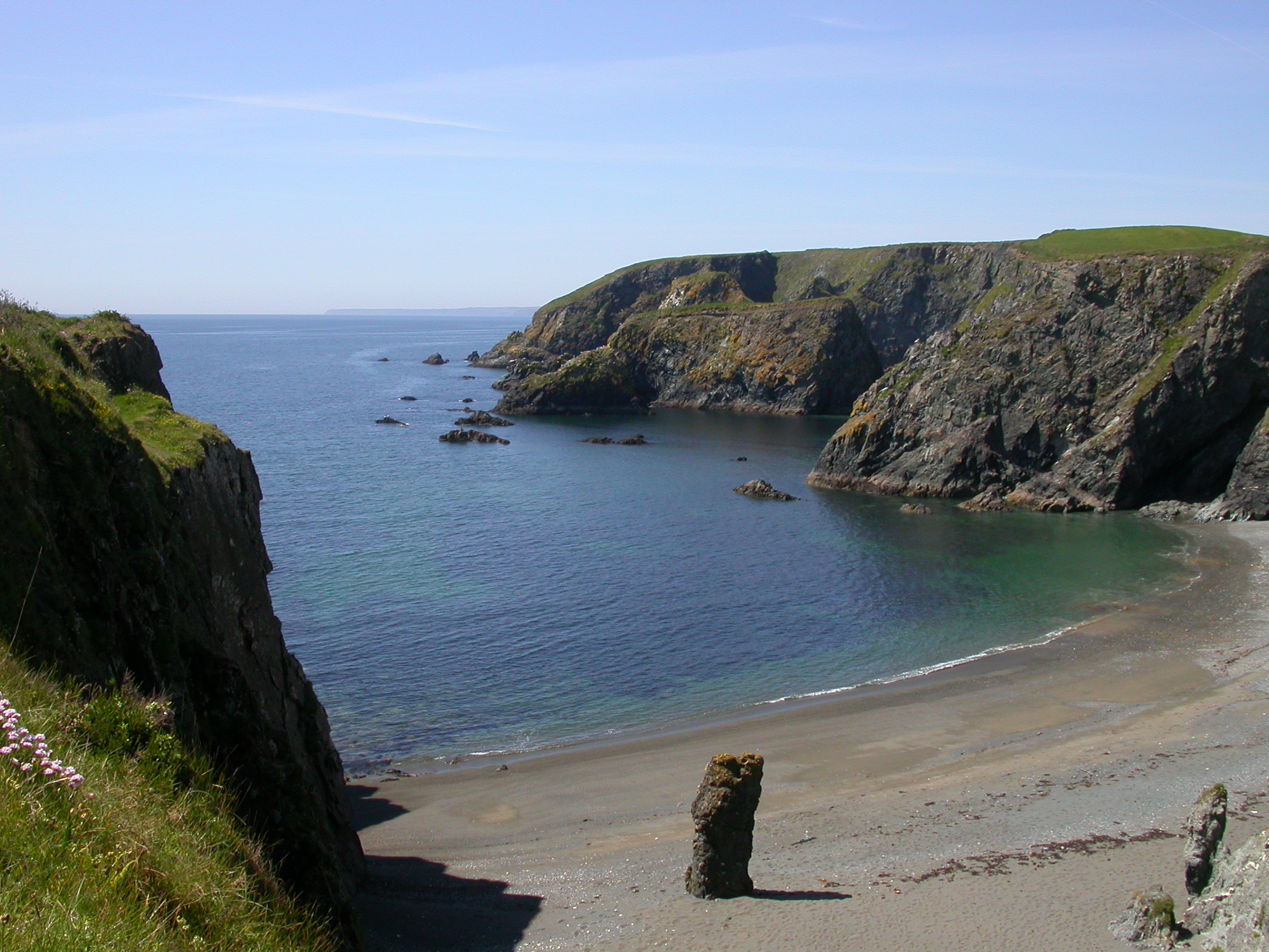
Copper Coast landscape; the map below shows the selected stop sequence.
DirectionTramore → Dungarvan
Travel modeDrive
Stops7 original · 1 extra
Road timingCheck live directions
Route notes
Take the coast at your pace.
Stop durations are editorial suggestions. Driving distance and time have not yet been independently checked for this sequence; use live directions for each leg and confirm access before setting off.
This is an editorial way to group the original seven stops, not a timed itinerary. No drive times are included. Start when you like, and leave out anything that does not fit the conditions or available daylight.
Opening coast: Tramore (30–45 minutes) for a promenade stroll, then Kilfarrasy (30–60 minutes) for a slower look at the geology from permitted access.
Coast into history: Annestown (20–40 minutes) for a short cove pause, then Tankardstown (30–45 minutes) for the engine-house remains and interpretation.
A village break: Bunmahon (60–90 minutes). Choose the beach, the visitor centre or both. Confirm centre and café opening before depending on either.
Western finish: Stradbally (30–45 minutes) if shore access suits, then optional Dungarvan Castle (30–60 minutes), with opening checked before arrival.
Those stop ranges add up to 3 hours 20 minutes–5 hours 45 minutes, excluding driving, a separate meal, queues and longer walks. They are suggestions, not measured visit durations. Adding Kilmurrin needs a separate allowance. With short daylight or poor conditions, choose a smaller selection or spread the stops over more than one day.
Map & sequence
Your route, stop by stop.
Select a stop in the list or on the map. The dashed line shows stop order, not a road or walking route.
Loading map. The ordered stops are available beside it.
Film links open related chapters; they do not verify that footage depicts each exact stop.
Make it yours
Plan this trip.
Choose the optional stops above, including Kilmurrin Cove if it fits your day, then create a personal draft. Road times and a timed itinerary are not calculated; check live directions before travel.
This draft stays in this browser until you remove its local data. Save a trip to reopen it from My Travel in this browser.
Check the tide before a shore visit.
The Marine Institute tide predictions ↗ provide a dated source for planning. Select a relevant station and date there; a station forecast is not a reading for this exact beach or cove. Wind and atmospheric pressure can change actual water levels, so check current conditions and local access before descending to the shore.
At Bunmahon, the Copper Coast Café ↗ is beside the Geopark museum. Its hours vary by season; check before relying on it for lunch. The Geopark also notes limited parking close to the building.
For a break near the start, Discover Ireland’s Tramore guide ↗ includes the Coastguard Cultural Centre café. Make your own dinner choice in Dungarvan using current local listings and opening hours.
At the western end, the Waterford Greenway ↗ offers walking and cycling sections near Dungarvan. It is a separate add-on, not part of the seven-stop coastal drive. The Geopark’s own map ↗ lists further coves, heritage and trails if you want to choose a detour.
Planning links checked 29 September 2026. The seven-stop route begins in Tramore and ends in Dungarvan; the UNESCO Geopark itself runs from Fenor to Stradbally. Allow extra time and confirm access, opening and weather locally.
Shorter versions
Take a theme instead of trying to finish every stop. These are smaller selections, not verified half-day schedules; check driving, daylight and access before deciding what fits.
Geology: Tramore for the broad coastal setting, Kilfarrasy for the rock layers and Stradbally for local rock in the kiln. Read the linked sources before visiting.
Mining heritage: Tankardstown and Bunmahon. See the outdoor remains, then visit the Geopark centre if open. A closed centre need not turn the day into a rushed beach visit.
Village and town: Bunmahon and Dungarvan, with Stradbally optional if conditions suit. Choose current food listings rather than relying on a fixed restaurant recommendation.
What this route does not do
The dashed map line shows stop order, not a drivable road or a safe walking route. Driving times and distances remain unverified. Use live directions for each leg, and do not treat any shore stop as independent of tide or weather. This is an editorial selection rather than an official Geopark itinerary: Tramore and Dungarvan frame the drive, while the UNESCO Geopark itself runs from Fenor to Stradbally.