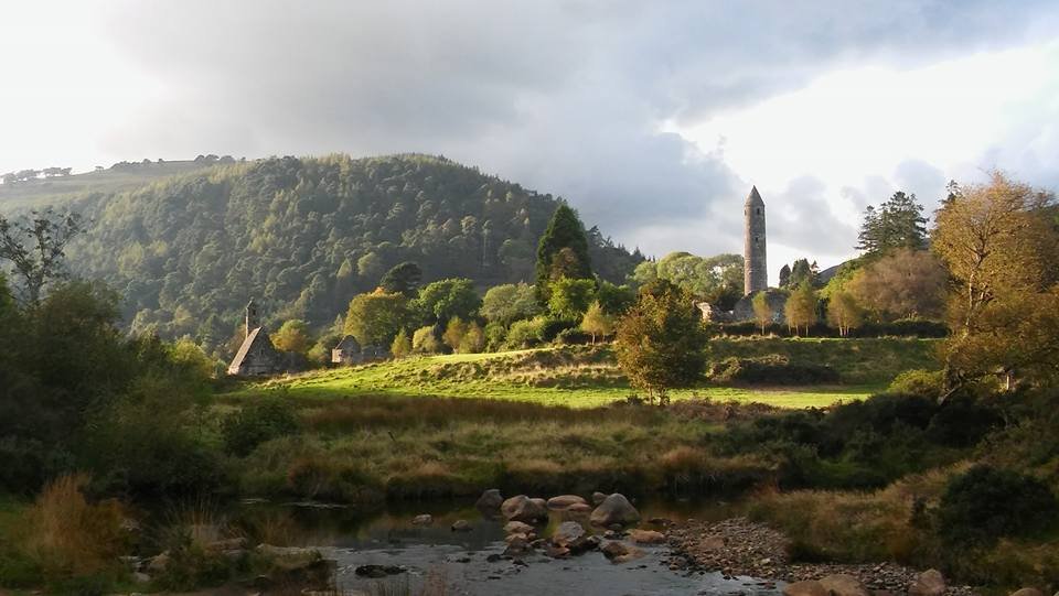
Glendalough lakes and monastery day
Start with the Monastic City, walk towards the lakes and keep the higher trails for another day. This is a flexible valley plan, with the visitor centre and Poulanass as optional choices.
County Wicklow, Ireland
Plan Wicklow as a choice of local days: Glendalough’s monastic valley, Powerscourt’s gardens and waterfall, or Blessington and Russborough. Compare the places, understand their arrival arrangements and keep mountain routes separate from an easy sightseeing plan.
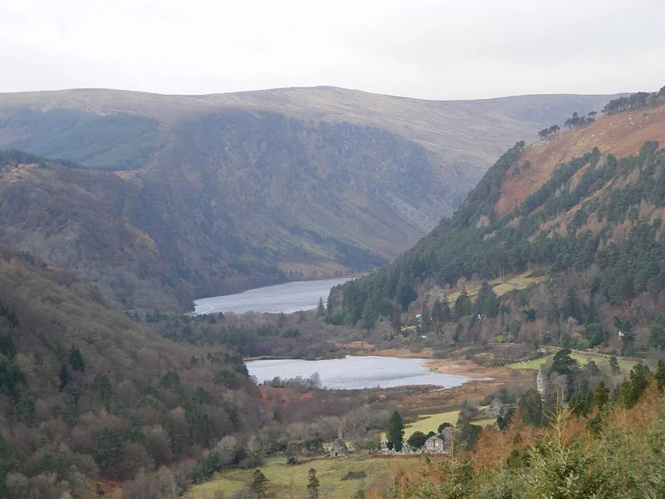
Open a suggested day in the trip planner, review the stops, then choose whether to apply it. Your atlas shortlist and named saved trips stay separate.
Glendalough lakes and monastery day: Start with the Monastic City, walk towards the lakes and keep the higher trails for another day. This is a flexible valley plan, with the visitor centre and Poulanass as optional choices. Transfers and meals are extra; optional stops are not selected.
Powerscourt gardens and waterfall day: Give the gardens a proper visit, then make the separate transfer to the waterfall. Check both admissions and choose a shorter version if the journey or daylight makes two visits rushed. Transfers and meals are extra; optional stops are not selected.
Blessington and Russborough day: Choose the Russborough experience first, then walk a suitable section of the existing Blessington Greenway. Keep the return explicit and distinguish current paths from proposed extensions. Transfers and meals are extra; optional stops are not selected.
Seen the film? More stories from @TheLazyNickStories ↗. These links open practical planning tools for your own visit.
Wicklow is easier to enjoy when you choose one area for the day. The places in this guide span different sides of the county: a valley visit at Glendalough, the estate landscape around Enniskerry, and the lakeside and house visits around Blessington. Their presence on one map does not make them a compact walking circuit. Pick the experience you want, then settle how you will arrive and return.
The guide brings together existing individual place pages, their editorial ratings and three starting plans. Those plans are deliberately small. A garden and a waterfall deserve more than a drive-by, while a monastery and lake can fill a good day without adding an exposed summit. Open the detail page for the practical limitations that a short card cannot fully explain.
Public transport is a route-specific decision. A bus to Glendalough does not provide a flexible county sightseeing loop, and an arrival in Enniskerry does not establish a convenient connection to every estate entrance. Drivers have more flexibility but still need to choose legal parking, current admission windows and a realistic return. Transfer time is separate from the visit allowances shown in the planner.
Choose one area for a day or use the routes on separate days. A county map is not a compact walking circuit; transfers are extra.
Start with the Monastic City, walk towards the lakes and keep the higher trails for another day. This is a flexible valley plan, with the visitor centre and Poulanass as optional choices.
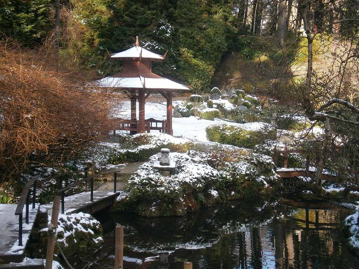
Give the gardens a proper visit, then make the separate transfer to the waterfall. Check both admissions and choose a shorter version if the journey or daylight makes two visits rushed.
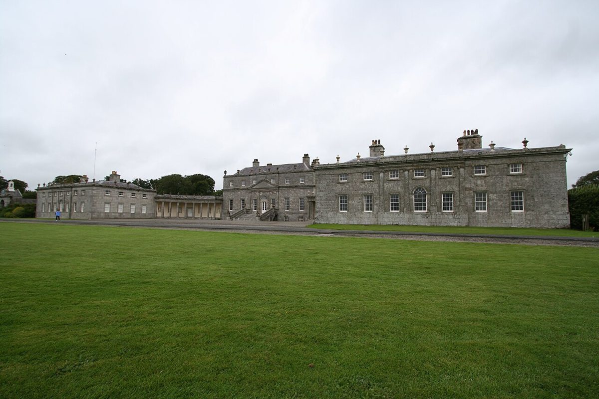
Choose the Russborough experience first, then walk a suitable section of the existing Blessington Greenway. Keep the return explicit and distinguish current paths from proposed extensions.
Choose your Wicklow
A researched selection, not a complete county directory. Read each score and its practical limitations. Service points and closed or unresolved visits are separated below.
17 current visitor choices. Select a place to see its details.
The static place guides remain available if the map cannot load.
Italian terraces, a Japanese garden and wooded corners make Powerscourt a garden visit with a mountain backdrop.
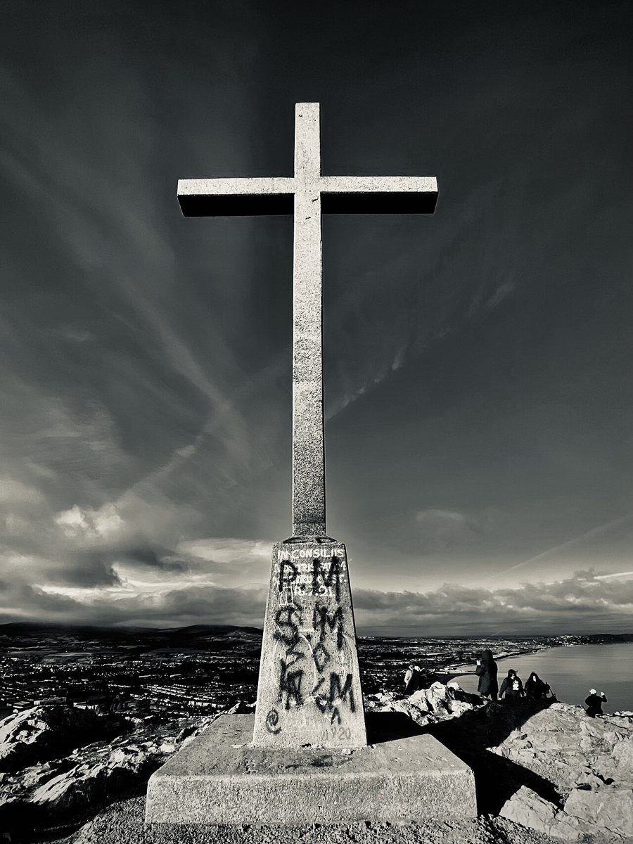
A hill walk from Bray’s seafront to the cross, with coastal views and a distinct route from the closed through Cliff Walk.
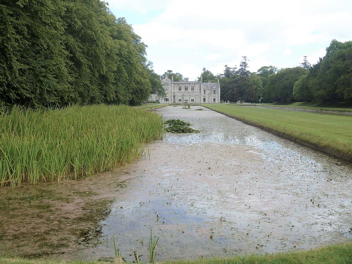
Formal gardens, long ponds and a working estate on Bray’s edge, with house tours booked separately.
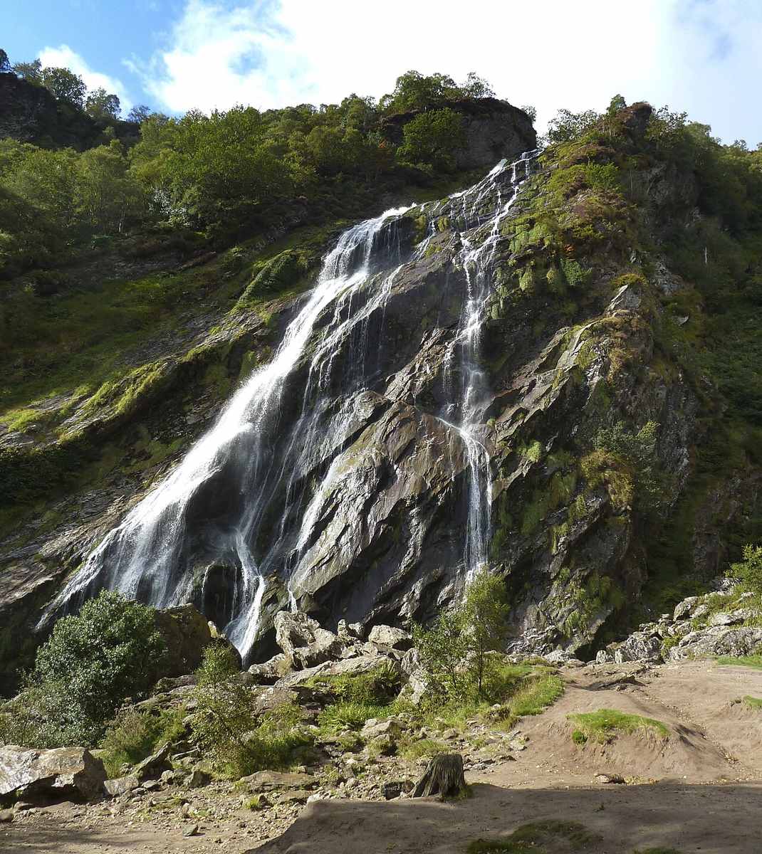
A wooded waterfall outing with picnic space, separate from the formal gardens at Powerscourt.
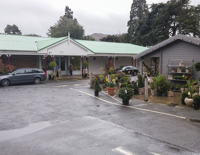
A Wicklow food and retail stop with a self-service café, a table-service restaurant and gardens.
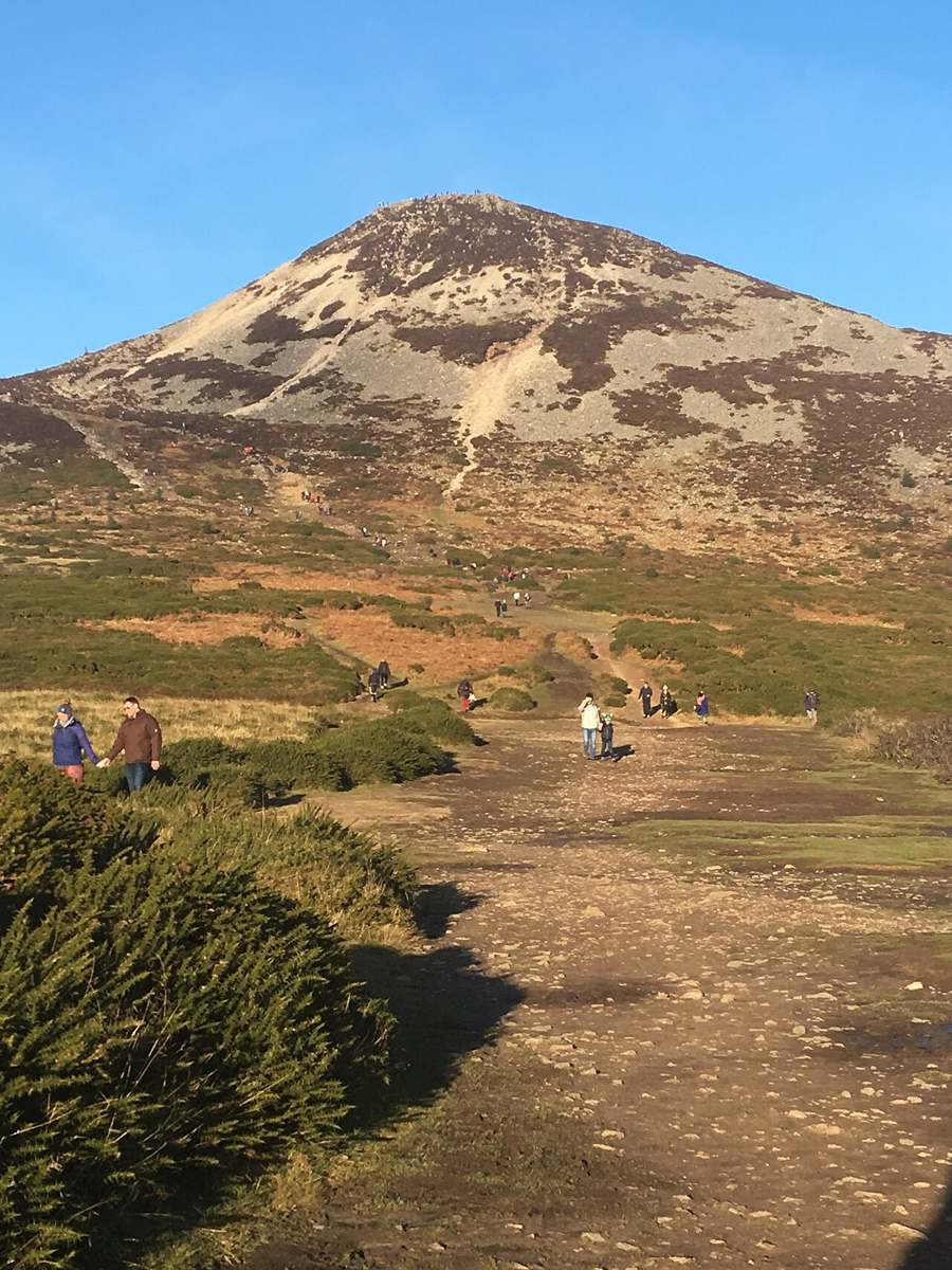
A distinctive rocky summit above Kilmacanogue, requiring a hill-walking plan rather than a quick viewpoint stop.
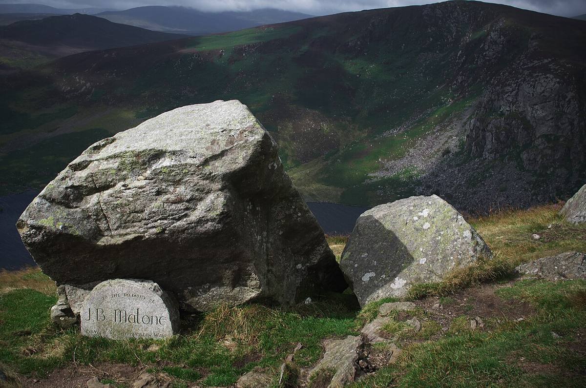
An exposed Wicklow mountain outing with a Wicklow Way approach and a summit that needs its own navigation plan.
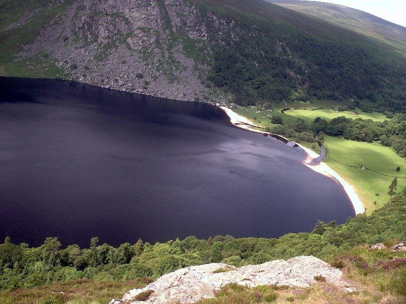
A mountain-road view over dark water, a pale shore and the Luggala landscape, with the lake itself on private land.
A Palladian house and parkland outing near Blessington, with separate choices for interior tours and outdoor activities.
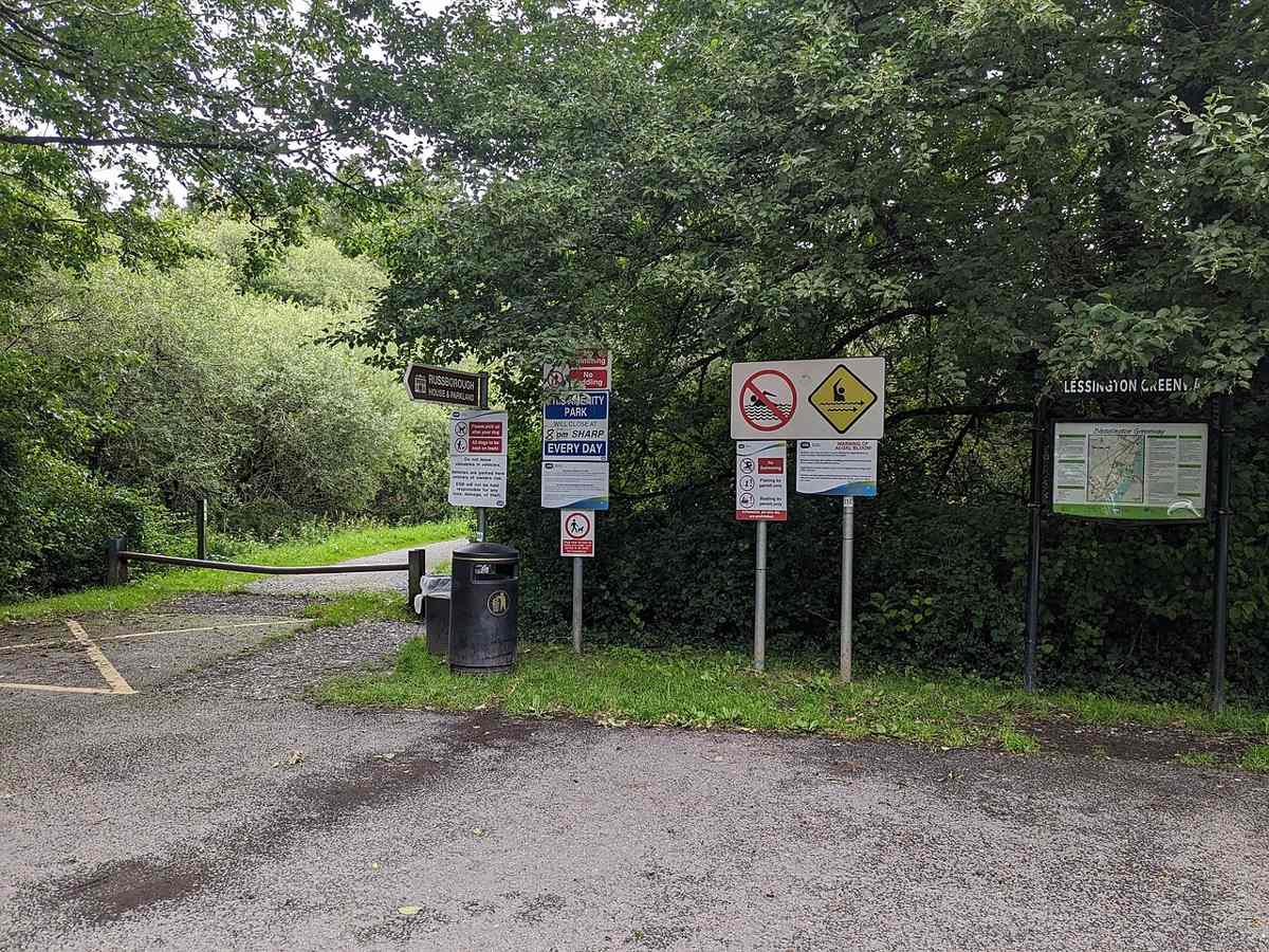
A linear lakeside and woodland walk towards Russborough, with road sections and crossings to include in the plan.
Start here if you want context for the monuments, an indoor introduction or advice before choosing a walk. The staffed visitor centre is a different visit from the freely accessible ruins and lakes.
The Monastic City brings the round tower, churches and graveyard into one concentrated heritage visit. Slow down at ground level: the relationship between the buildings is more interesting than collecting the same tower photograph from every angle.
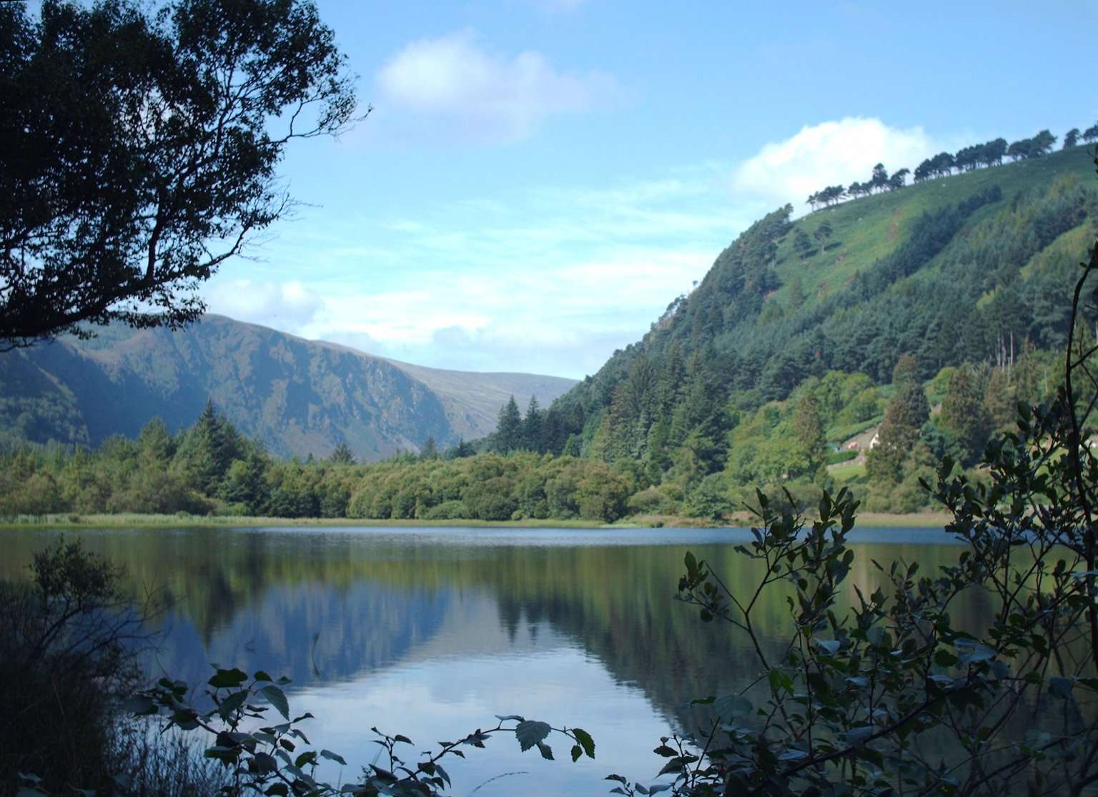
The Lower Lake and Green Road give you a woodland-and-water alternative to the high trails. Choose a short out-and-back or a signed circuit that fits your group, with room to pause rather than treating the lake as a transfer corridor.
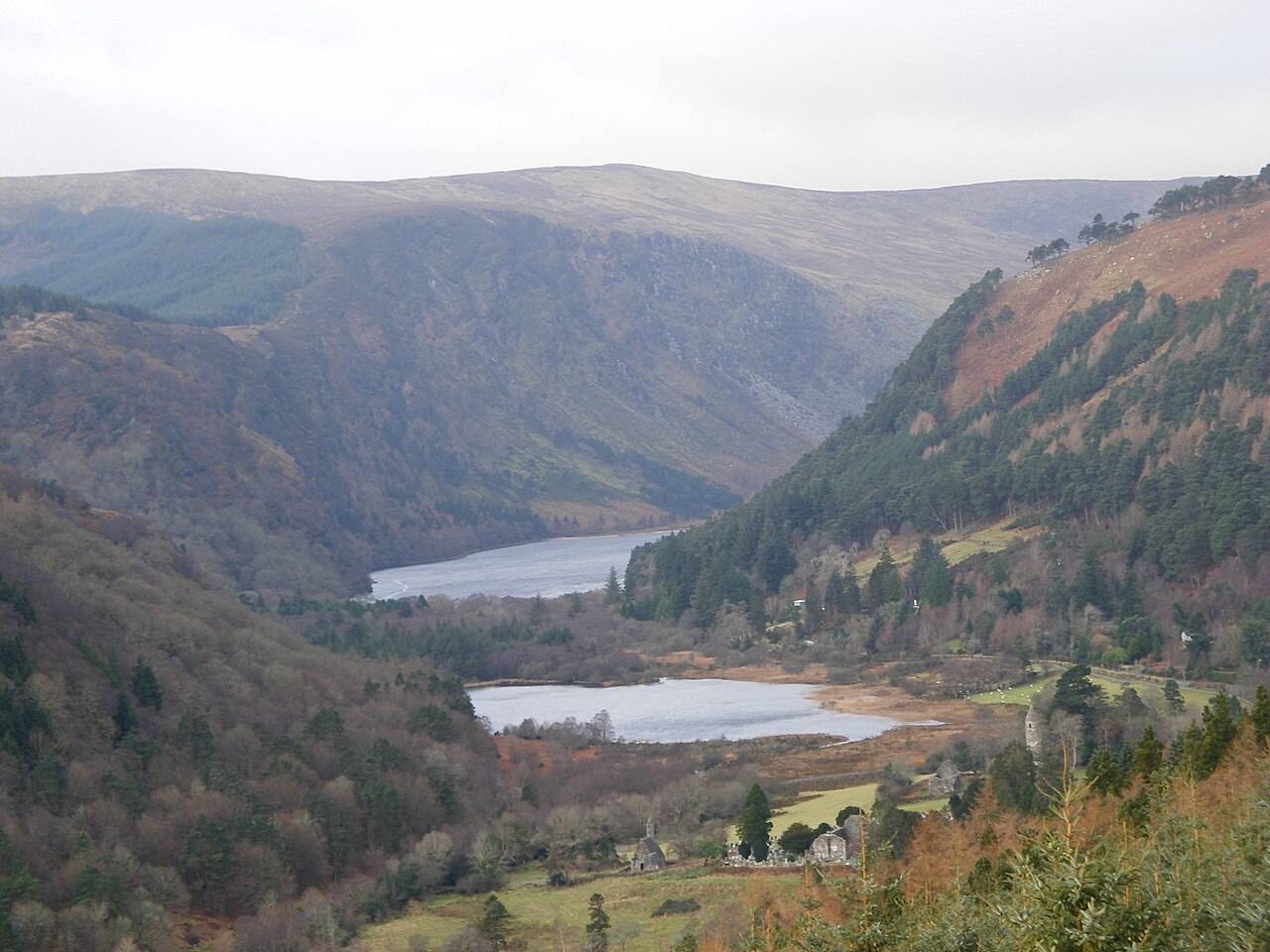
The Upper Lake is a place to stop and look, not merely the starting gate for a hike. The long view into the valley gives a first visit a strong landscape focus without requiring a climb onto the Spinc.
The blue Spinc Short Route is a hillwalk with a strong view of the Upper Lake. “Short” distinguishes it from longer Spinc routes; it does not turn the outing into an easy lakeside stroll.
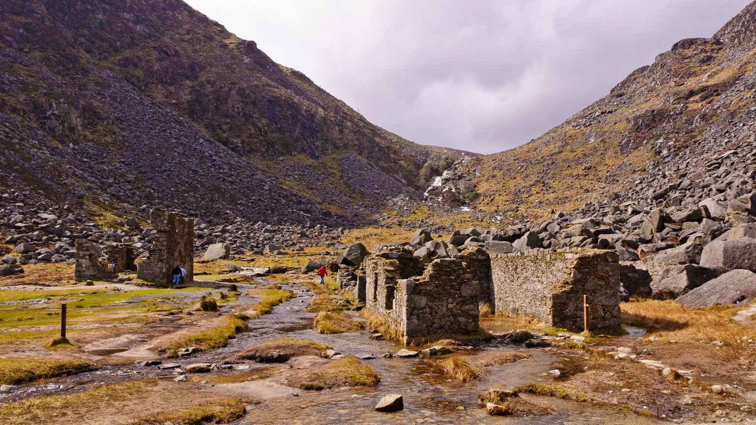
The Miners’ Road gives the Upper Lake a different story: a walk towards the remains of working lives at the head of the valley. Follow the signed lower route and return the same way rather than drifting into a mountain circuit.
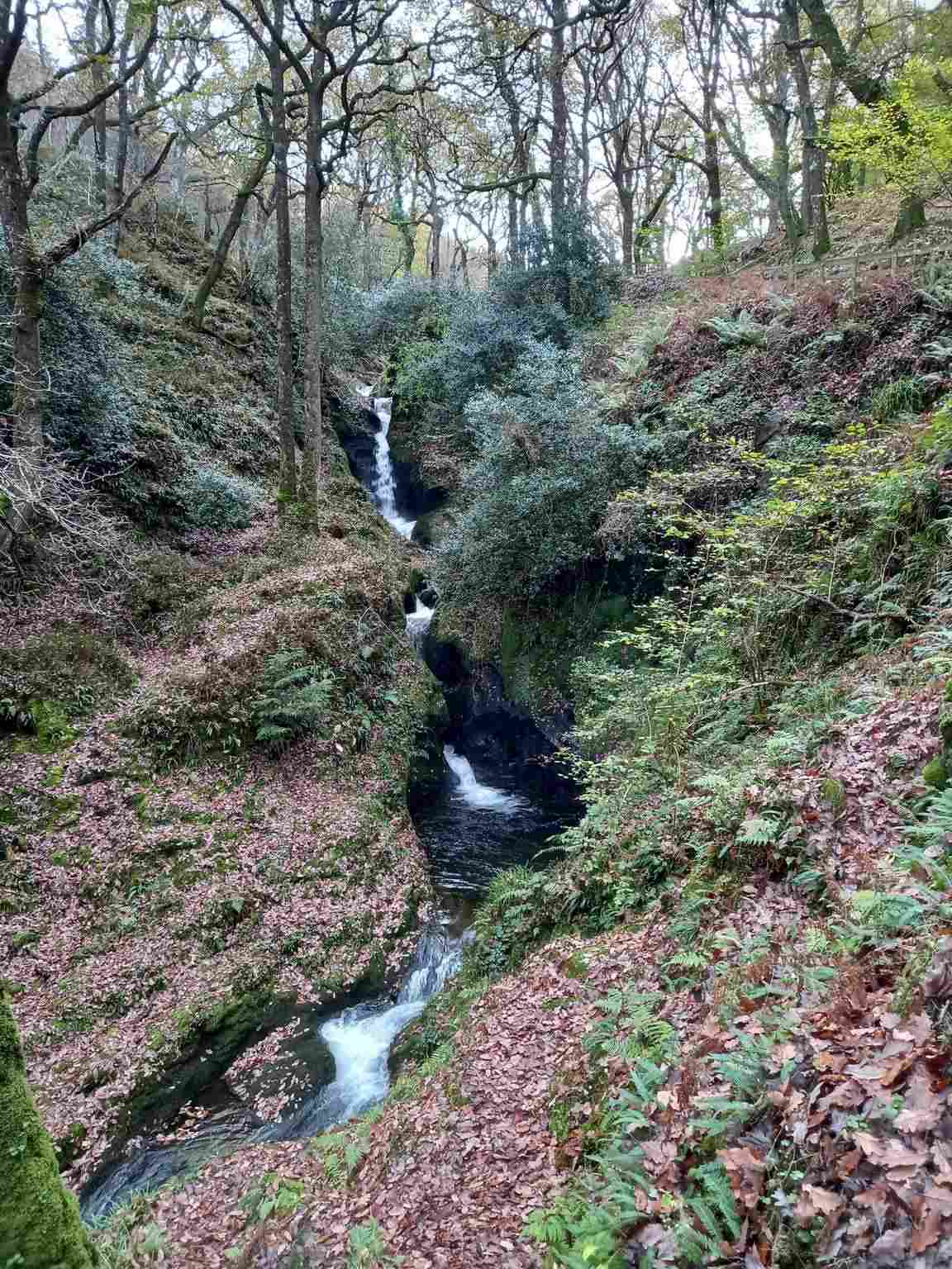
Poulanass offers moving water and woodland close to the Upper Lake visitor area. It is a shorter walking choice, but the climb and wet footing make it different from a flat lakeside pause.
These references are outside the starting plans. A missing score is not zero.
Applegreen Kilmacanogue (N11): Fuel reference for Applegreen Kilmacanogue (N11). Confirm current operation and available services before relying on it.
National Park Information Office, Upper Lake: A practical place to check the official trail map and ask about current routes near the Upper Lake. This is a support stop, separate from the OPW monastic visitor centre.
Laragh village recovery stop: A village break after a valley visit or hike, useful only when your return transport, the chosen venue and its opening fit together. This is not a reviewed restaurant recommendation.
Upper Lake trail start: An orientation reference for starting a signed walk, not an additional attraction to count alongside the Information Office. Choose the actual route before setting off.
These references are outside the starting plans. A missing score is not zero.
Bray to Greystones Cliff Walk Trailhead: Closed — no through route because of landslides and significant safety concerns
Victor's Way (Indian Sculpture Park): Permanently closed — operator accepts no visitors
Vartry Reservoir Loop, Roundwood: Lower Vartry trail is listed closed; Upper Vartry has separate route information. Confirm the exact open circuit before visiting.
Choose what is worth your time
Experience is the reward; Visitor friendliness is the practical ease. Both are out of 10. Open a place for the reasons and sources.
| Place & best fit | Experience | Visitor friendliness | Blend |
|---|---|---|---|
| Glendalough Monastic CityMedieval buildings in their valley setting | 9.0 | 7.5 | 8.0 |
| Glendalough Visitor CentreInterpretation before the ruins | 7.5 | 8.5 | 8.0 |
| Lower Lake and Green RoadA flexible valley-floor outing | 8.0 | 8.0 | 8.0 |
| Powerscourt House & GardensFormal gardens and landscape design | 9.0 | 7.5 | 8.0 |
| Russborough House & ParklandsArt, architecture and parkland | 9.0 | 7.0 | 8.0 |
| Upper Lake viewpointThe valley’s main landscape pause | 9.0 | 7.5 | 8.0 |
| Avoca Kilmacanogue Store & CaféA Wicklow food and shopping break | 7.0 | 7.5 | 7.5 |
| Blessington Lakes Greenway TrailheadLow-level lakeside walking | 8.0 | 7.0 | 7.5 |
| Killruddery House & GardensHistoric gardens and estate life | 8.5 | 7.0 | 7.5 |
| Miners’ Road out-and-backLakeside walking and industrial history | 8.5 | 6.5 | 7.5 |
| Powerscourt WaterfallWaterfall and picnic time | 8.5 | 7.0 | 7.5 |
| Lough Tay (Guinness Lake) ViewpointA mountain-view photography stop | 8.5 | 5.5 | 7.0 |
| Poulanass Waterfall woodland walkA short, steeper woodland outing | 8.0 | 6.0 | 7.0 |
| Bray Head Cross LoopA steep coastal hill walk | 8.0 | 5.5 | 6.5 |
| Djouce via the Wicklow Way (J.B. Malone)Prepared upland walkers | 9.0 | 4.5 | 6.5 |
| Spinc Short Route from the Upper LakePrepared walkers seeking an upland route | 9.5 | 4.5 | 6.5 |
| Great Sugar Loaf SummitConfident walkers seeking a summit | 8.5 | 4.5 | 6.0 |
| Bray to Greystones Cliff Walk TrailheadReference only while closed · Closed or access unverified | 8.5 | Unrated | Unrated |
| Vartry Reservoir Loop, RoundwoodA quieter reservoir walk · Closed or access unverified | 7.5 | Unrated | Unrated |
| Victor's Way (Indian Sculpture Park)Historical reference only · Closed or access unverified | 8.0 | Unrated | Unrated |
No places match. Try another search or include closed places.
Source-based editorial judgements assessed 19 October 2026. Services have no numerical score until evidence supports one. Scale, formula & limits.
Outdoor visits depend on the current weather, daylight and seasonal admissions. Garden and house hours differ from trail access. The forecast tool uses a fixed Laragh reference point; it is not a forecast for every part of the county or a mountain-route clearance.
Tap a month for the tradeoff. These are editorial seasonal patterns; weather varies.
Keep to a short valley visit if frost, flooding or wind makes higher routes unsuitable.
Short daylight and winter footing call for conservative walks and an early turnaround.
Longer afternoons help, but treat exposed routes as mountain walks with variable conditions.
A useful month for combining the monastic site with flexible lower-valley walking.
Longer days allow a separate hiking day when weather and ability align.
Good daylight for an unhurried visit; busy weekends still need parking or bus planning.
Start early for popular trailheads and carry water rather than relying on facilities en route.
Summer does not remove mountain weather risk; reserve accommodation and verify return transport.
Often a practical walking month, with an earlier finish than midsummer.
Woodland walks can suit a shorter day; wet leaves and diminishing daylight affect pace.
Choose the monastic site and lower valley over an ambitious exposed-route plan.
Check visitor-centre holiday closures; outdoor access does not imply staffed facilities are open.
Five editorial suitability scores, each out of five. Open a category to see the reasoning. These are not visitor averages. How we rate.
The best option depends on the stops you choose. These comparisons explain the tradeoffs; routes, availability and fares need a current check.
Choose the local area first, then check its actual service and final walking approach. A direct Glendalough service and a connection to an estate need different planning. Do not rely on one bus route for all three days.
Check current transport informationThe Powerscourt and Blessington starting plans default to a car or local driver because of their separate visit entrances. Check parking and transfers before committing to admissions; no drive times are estimated here.
Check current transport informationCheck which attractions, tickets and visit durations a tour actually includes. A general Wicklow tour should not be assumed to cover the complete itinerary or support a full hillwalk.
Check current transport informationCombine these local day plans or use just one. Stop times are suggested visit allowances, not opening hours or travel times. Leave additional time for meals and transfers.
Explore the round tower, church remains and graveyard respectfully. Surfaces are uneven; allow time for a slower pace rather than treating it as a short transit stop.
Allow about 75 minutes on site · Find on mapFollow the signed valley route towards the Upper Lake. This allowance includes a relaxed walk and pauses; turn back earlier if the group or conditions require it.
Allow about 65 minutes on site · Find on mapEnjoy the lake from permitted paths and leave time to return to your actual bus stop or car park. The pin is a general shoreline reference, not a swimming entry point.
Allow about 60 minutes on site · Find on mapChoose a manageable garden circuit and check the estate’s seasonal admission window. This allowance is for the gardens, not a transfer to the waterfall.
Allow about 120 minutes on site · Find on mapUse the waterfall’s separate entrance and ticket. Arrange the transfer and return rather than assuming a walk through the gardens connects the two sites.
Allow about 75 minutes on site · Find on mapChoose a house tour or parkland focus. Check the current programme and ticket inclusions before setting the day’s order.
Allow about 120 minutes on site · Find on mapChoose a section of the existing linear greenway with an explicit turnaround or return arrangement. The road crossings and footpath sections need attention; do not assume proposed extensions are open.
Allow about 90 minutes on site · Find on mapUse the three routes as alternatives or separate days. Do not assume every stop belongs in one county-wide circuit. Visit allowances exclude driving, walking connections, meals and queues.
Powerscourt Gardens and Powerscourt Waterfall have separate entrances and admission. Russborough house tours, parkland activities and parking also need their own checks.
Use the current bus operator or TFI planner for the date, exact stop and final connection. A scenic pin is not proof that a bus reaches a particular attraction entrance.
The Spinc, Djouce and Great Sugar Loaf require route-specific preparation. They are not automatic extras on a sightseeing drive. Follow current official route grades and access notices.
Glendalough’s OPW centre and Upper Lake car park have different facility management. Estate cafés and public parking references are not live availability reports.
The closed Bray–Greystones Cliff Walk, permanently closed Victor’s Way and unresolved Lower Vartry access are reference notices, not starting-plan stops. Lough Tay’s private shore is not a visitor beach.
Place scores are source-based editorial assessments, not visitor review averages or claims of a personal visit. Service references have no invented numerical ratings.
Regional forecast reference: Laragh near Glendalough. Conditions can differ across the county and at height.
Choose one of the local plans as your main day. The map connects research, not a measured all-county route.
Not for every individual visit, but the estate and Blessington starting plans default to a car or local driver. Check public transport and the final approach before changing that assumption.
No. The strenuous Spinc route and other mountain outings remain separate choices; the Glendalough starting plan uses the monastery and lower valley.
The fixed reference is Laragh near Glendalough. Coastal, estate and higher mountain conditions can differ; check the relevant forecast and official warnings for your actual outing.
Visited? Record your personal category ratings for next time. They stay on this device and are not published or counted as visitor reviews.
Researched for TheLazyNick using the sources below. This is a source-based planning guide, not a claim of a personal visit. The suggested routes, timings and suitability scores are editorial judgements.
Source check: . Check live notices before setting off.
Found a change? Send a correction. Learn how the guides and scores are made.
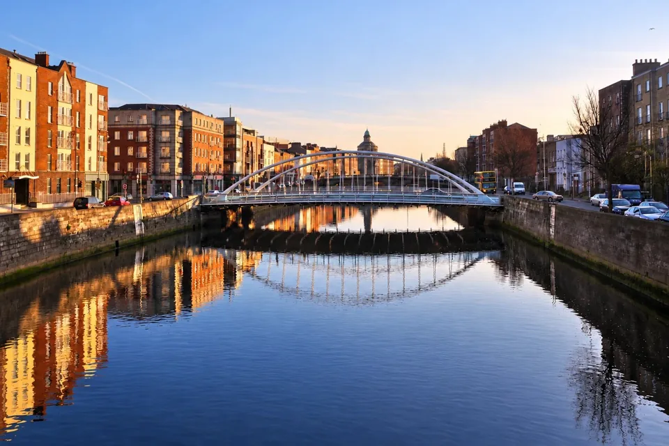 Ireland · County Dublin
Dublin suits a first Irish city break built around museums, historic streets and evenings on foot.
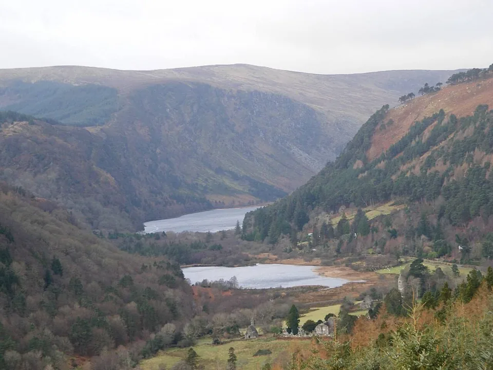 Ireland · County Wicklow
Glendalough combines a medieval monastic landscape with two lakes and marked walks in the Wicklow Mountains.
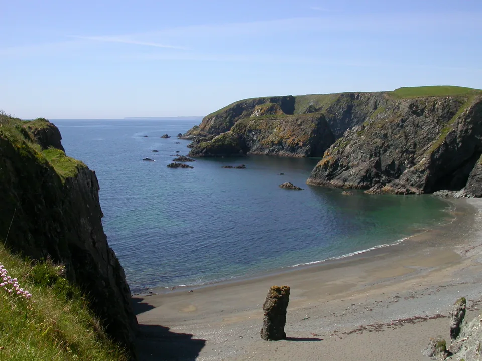 Ireland · County Waterford
The Copper Coast is best explored as a slow coastal trip through County Waterford, linking coves, geology and former copper-mining sites.
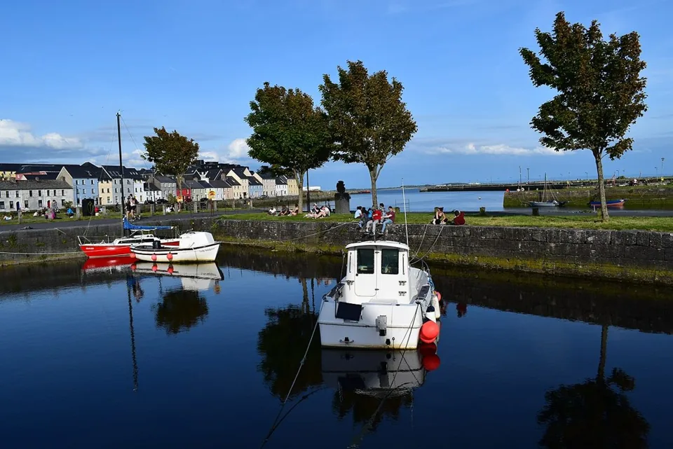 Ireland · County Galway
Galway works best as a compact city break with time for the old centre, the River Corrib and Salthill’s seafront.
 Ireland · County Kerry
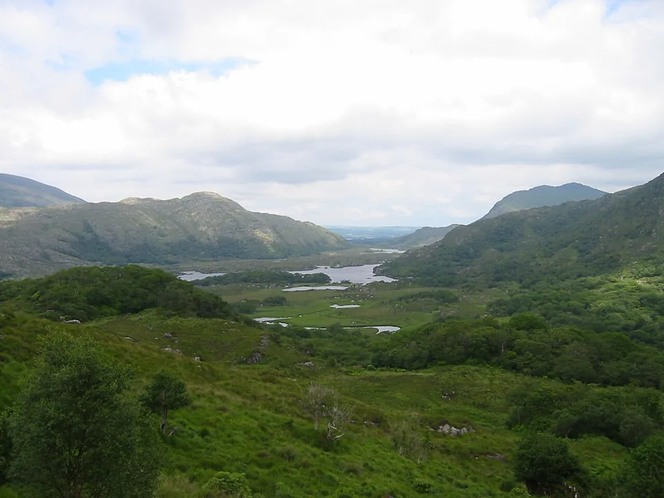
Killarney is a practical base for lakes, woodland and historic sites in its national park.
 Ireland · County Cork
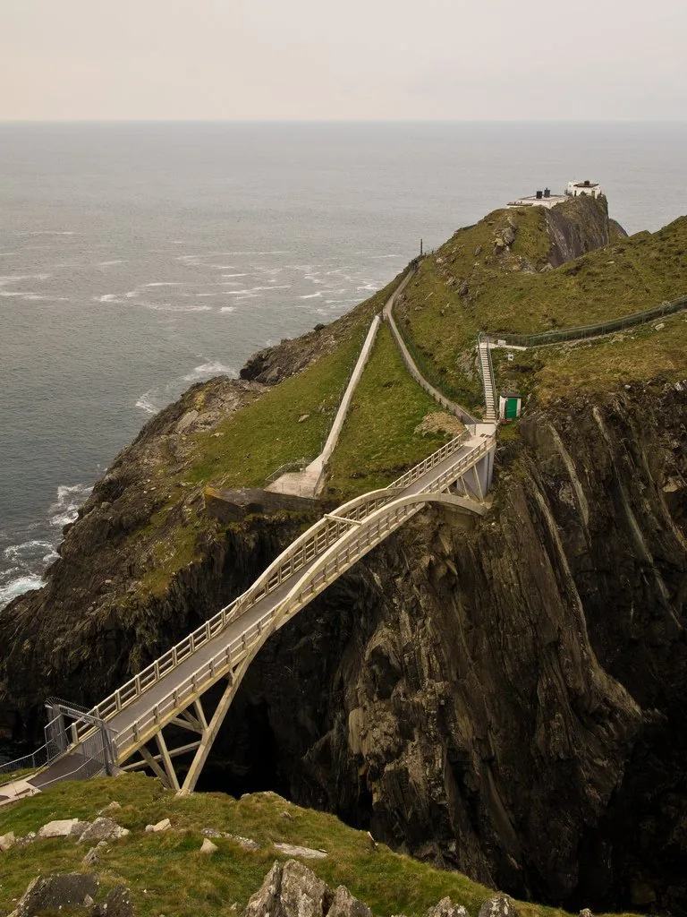
Give the Mizen Peninsula two different kinds of day: the signal station and Barleycove, then a slower route through Schull, Brow Head and Crookhaven.
Saved on this browser. No account needed.
Nearby options
Distances are straight-line estimates between catalogue pins, within 30 km. Roads, entrances and walking routes may be much longer. Known closed places are excluded; inclusion does not confirm opening today.
attraction · 1.6 km
Start here if you want context for the monuments, an indoor introduction or advice before choosing a walk. The staffed visitor centre is a different visit from the freely accessible ruins and lakes.
Open place page →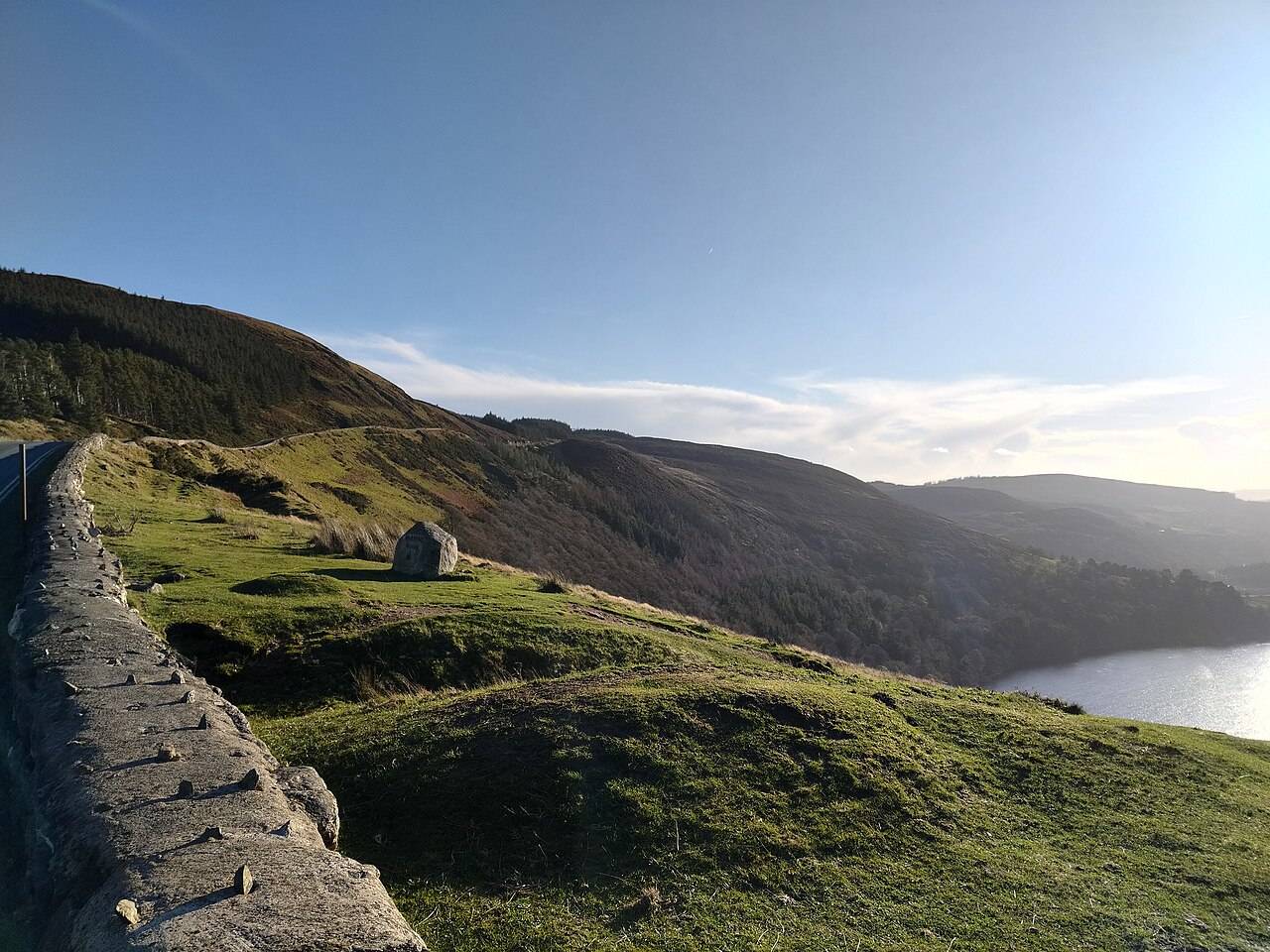
nature · 1.9 km
Wicklow Mountains National Park is a broad upland landscape with many possible entrances and walks. A regional pin is an orientation aid, not a trailhead.
Open place page →attraction · 2.0 km
The Monastic City brings the round tower, churches and graveyard into one concentrated heritage visit. Slow down at ground level: the relationship between the buildings is more interesting than collecting the…
Open place page →attraction · 2.5 km
The Lower Lake and Green Road give you a woodland-and-water alternative to the high trails. Choose a short out-and-back or a signed circuit that fits your group, with room to pause rather than treating the…
Open place page →attraction · 3.1 km
The Upper Lake is a place to stop and look, not merely the starting gate for a hike. The long view into the valley gives a first visit a strong landscape focus without requiring a climb onto the Spinc.
Open place page →attraction · 3.1 km
The blue Spinc Short Route is a hillwalk with a strong view of the Upper Lake. “Short” distinguishes it from longer Spinc routes; it does not turn the outing into an easy lakeside stroll.
Open place page →