Water and woodland
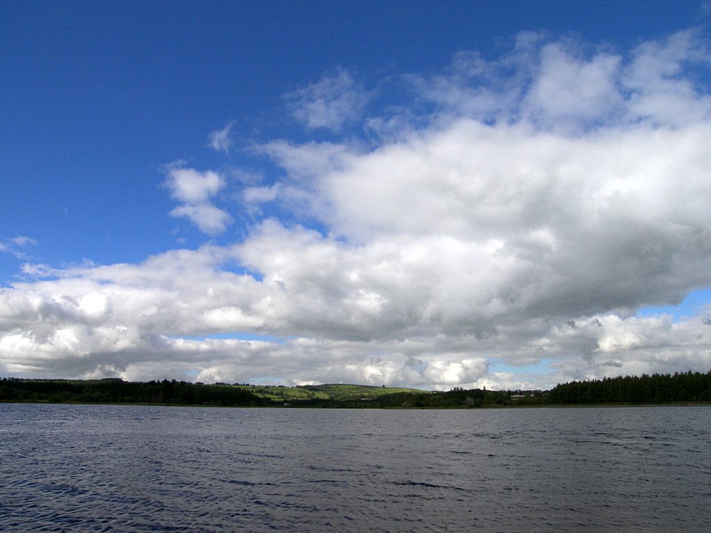
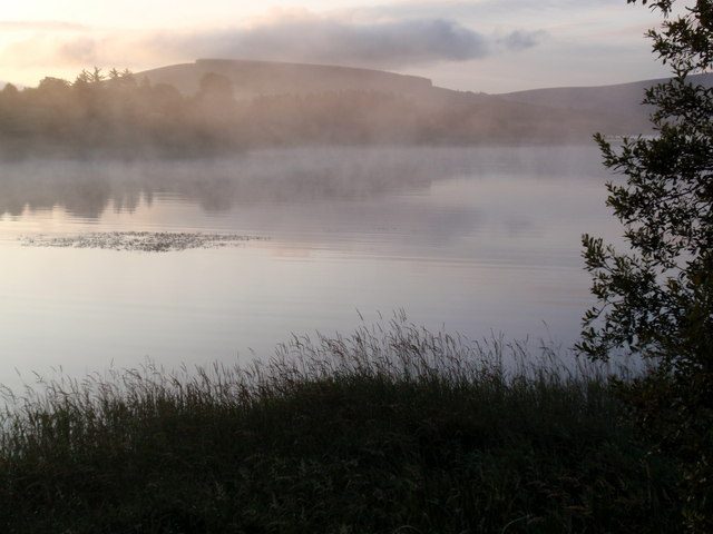
The changing lakeside and forest sections provide the main rhythm of the walk.
nature · Wicklow
A linear lakeside and woodland walk towards Russborough, with road sections and crossings to include in the plan.
Source-based editorial assessment · out of 10
Lake margins, woodland and the connection towards Russborough create a varied low-level outing, with an opportunity to combine scenery and estate history in the wider day.
The existing linear walk is easier to adapt than an upland summit, but plan its start, finish and return transport. Do not mistake proposed lake-wide extensions for the current route.
Best for: Low-level lakeside walking
Planning blend: 7.5 / 10 · Sustainability: unrated
Experience considers the reward and depth of this particular stop. Visitor friendliness considers practical ease: arrival, booking, physical demands, cost and flexibility. These are editorial judgements based on linked information, not visitor averages or a claim of a personal visit.
Assessed . Supporting guide source-check date: 2026-08-30. The assessment date does not mean every linked source was newly checked.
The blend uses (40 × Experience + 55 × Visitor friendliness) ÷ 95, rounded to the nearest half point. Missing sustainability does not affect it. A missing current visit score is not zero and has no blend.
A high score is not a safety clearance or a guarantee of step-free access. Food-stop scores concern the planned visit, not an untested meal. Read the scale and scope · Suggest a correction.
From research
Choose it for a lower-level outdoor outing and a view of the Blessington Lakes landscape. Decide on an out-and-back or organise the return from the far end before setting out. A shorter lakeside section can be the whole visit.
Before you go: The published route is linear and includes a footpath beside the N81 and a road crossing. Proposed extensions are not the current walk.
Place highlights
The changing lakeside and forest sections provide the main rhythm of the walk.
The far end near the estate can suggest a separate visit, but house or park admission needs its own check.
The story behind the visit
Visit Wicklow describes an existing walk from the Avon area of Blessington towards Russellstown Bay near Russborough. Its mix of lakeshore and woodland gives the outing variety, but the linear layout is the decision that matters most before setting out. Reaching the far end is only half a plan if you still need to return to the start. Source ↗
Choose a turn-back point while everyone is comfortable, or arrange a real return connection in advance. If adding Russborough, keep the estate entrance and admission separate from the walking endpoint. A relaxed outdoor day can include a shorter route and a meal without needing to cover the full published distance or an imagined future lake circuit. Source ↗
Dated visitor information
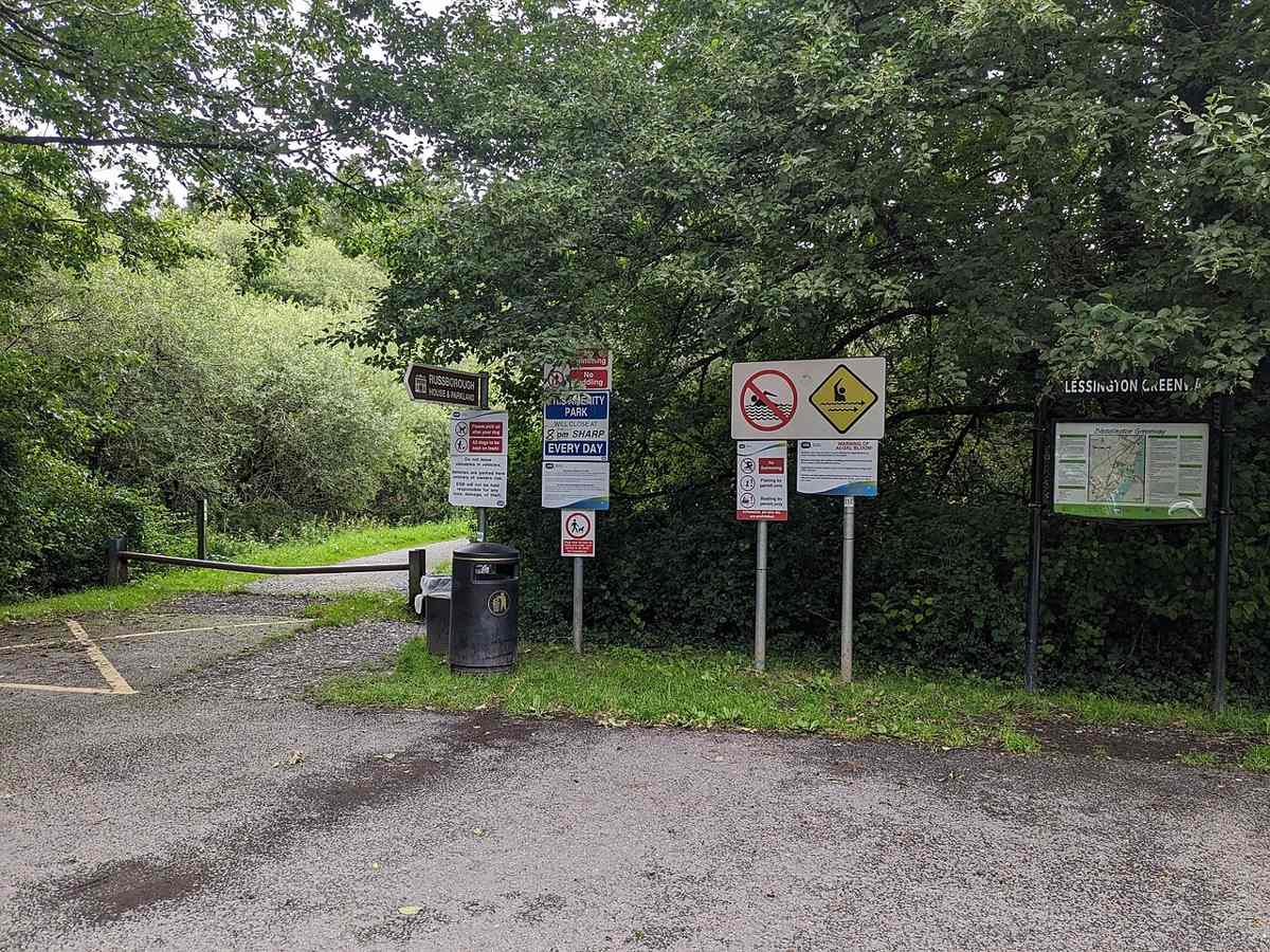
Use the published start at the Avon area, then check the actual entrance and current signs. Arrange parking or the public-transport connection for your chosen start and finish. Official visitor information ↗
Source information checked 19 October 2026; confirm current access and visitor arrangements with the operator.
No. The published existing walk is linear. Source ↗
No. The route description includes roadside and crossing sections. Source ↗
No. Check the estate entrance, ticket and operating hours separately. Source ↗
Nearby options
Distances are straight-line estimates between catalogue pins, within 30 km. Roads, entrances and walking routes may be much longer. Known closed places are excluded; inclusion does not confirm opening today.
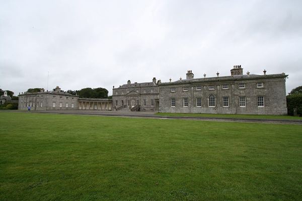
heritage · 1.9 km
A Palladian house and parkland outing near Blessington, with separate choices for interior tours and outdoor activities.
Open place page →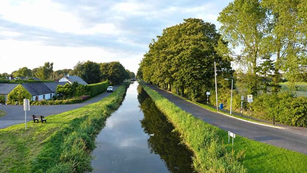
nature · 14.4 km
A canal outing around Sallins and the Naas branch, with different route directions and surfaces to check before setting out.
Open place page →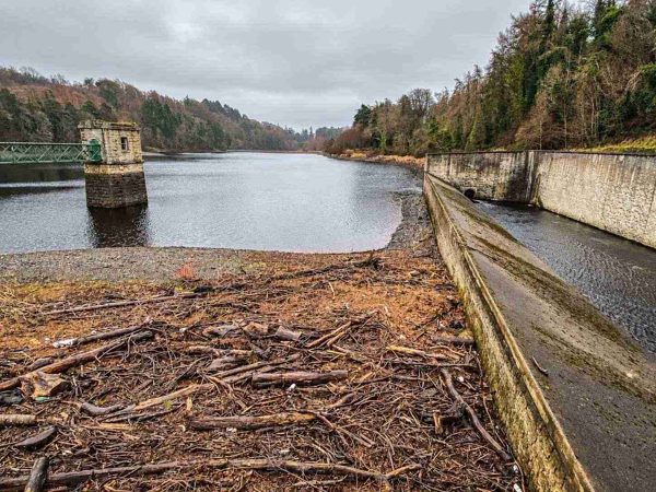
nature · 16.4 km
A walk through Glenasmole’s working water-supply landscape, following the reservoirs and the Dodder valley.
Open place page →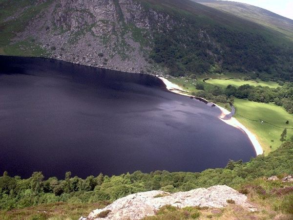
nature · 18.0 km
A mountain-road view over dark water, a pale shore and the Luggala landscape, with the lake itself on private land.
Open place page →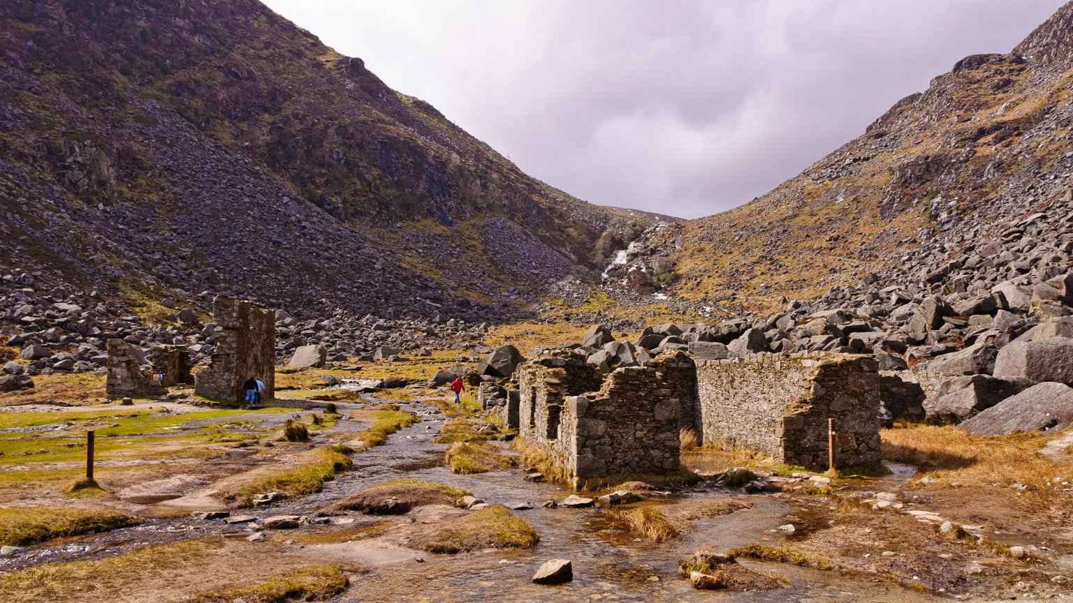
attraction · 18.1 km
The Miners’ Road gives the Upper Lake a different story: a walk towards the remains of working lives at the head of the valley. Follow the signed lower route and return the same way rather than drifting into a…
Open place page →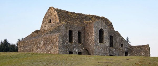
nature · 18.4 km
A ruined hunting lodge above Dublin, paired with the contrasting woodland of Massy’s Estate.
Open place page →A visitor describes turning back after a shorter section instead of walking the full advertised connection. That makes the greenway useful for a flexible outing with your own turnaround. The account’s parking price, route length and waterside activities are historical details, not current instructions or a swimming recommendation.
Original paraphrases of public visitor accounts. These are limited perspectives, not a representative survey or a claim of our own visit. Use current operator information for access and opening.
Location & access
The published route is linear and includes a footpath beside the N81 and a road crossing. Proposed extensions are not the current walk.
53.14150, -6.53680 · Reference point; confirm the correct entrance and access. Map © OpenStreetMap contributors.
Source-based place brief. A catalogue reference is not a live availability check or a report of a personal visit.
Visitor details checked 19 October 2026. Page content updated 2026-10-20.