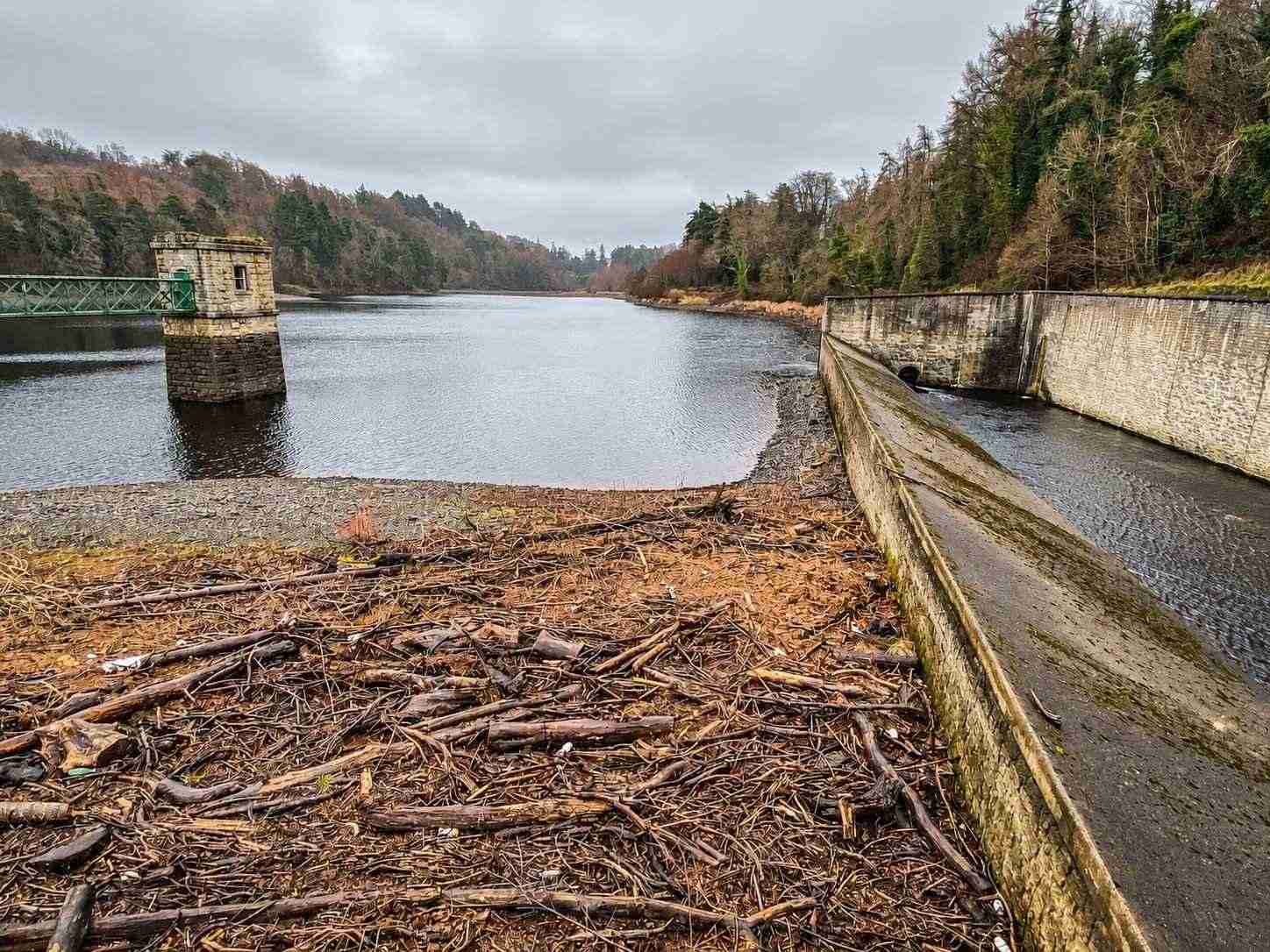
Upper reservoir
Look for the overflow works and the channel alongside the water.
nature · Dublin
A walk through Glenasmole’s working water-supply landscape, following the reservoirs and the Dodder valley.
Source-based editorial assessment · out of 10
Reservoir shores and the wooded Dodder valley reveal Dublin’s water-supply landscape in a rewarding walking setting, with interest beyond a generic forest stroll.
The permitted walking route gives the visit structure, but reaching Glenasmole and choosing an appropriate distance need planning. This working reservoir is not a swimming destination.
Best for: Reservoir and valley walks
Planning blend: 7.0 / 10 · Sustainability: unrated
Experience considers the reward and depth of this particular stop. Visitor friendliness considers practical ease: arrival, booking, physical demands, cost and flexibility. These are editorial judgements based on linked information, not visitor averages or a claim of a personal visit.
Assessed . Supporting guide source-check date: 15 October 2026. The assessment date does not mean every linked source was newly checked.
The blend uses (40 × Experience + 55 × Visitor friendliness) ÷ 95, rounded to the nearest half point. Missing sustainability does not affect it. A missing current visit score is not zero and has no blend.
A high score is not a safety clearance or a guarantee of step-free access. Food-stop scores concern the planned visit, not an untested meal. Read the scale and scope · Suggest a correction.
From research
Choose it for waterworks history and an outdoor walk rather than a bathing or watersports outing. Decide how much of the mapped reservoir route fits your group.
Before you go: This is operational water infrastructure. Stay on permitted routes and do not treat the reservoir as a recreational swimming lake.
Place highlights
Look for the overflow works and the channel alongside the water.
Tree cover and water create a quieter counterpoint to the exposed Dublin hill walks.
The story behind the visit
Bohernabreena’s lakes are designed infrastructure within the Glenasmole valley. Dublin Mountains Partnership explains that construction began in the 1880s with drinking-water supply, flood control and the needs of downstream mills in view. The two reservoirs handled water from different parts of the catchment. That practical history gives the channels and overflow structures a purpose beyond their appearance: this landscape was shaped to manage a river as well as to store water. Source ↗
The surrounding trees change how that engineering is experienced today. A walk can move between stretches of woodland, open water and visible masonry, allowing the built and natural parts to be read together. Slow down at the structures rather than making the reservoir circuit only a distance target. The site remains a waterworks, so its value as a walking place does not create permission for other activities. Use the official route, leave machinery and barriers alone, and plan your own return before access or daylight becomes a concern. Source ↗
Dated visitor information
The entrance is at Bohernabreena Waterworks off the R114, south-west of Tallaght. Follow the official approach rather than a pin across the water. Official visitor information ↗
Source information checked 15 October 2026; confirm current access and visitor arrangements with the operator.
No. They are reservoirs developed as part of Dublin’s waterworks. Source ↗
DMP’s visitor information says there are none on site. Source ↗
No. The site guidance says fishing is by permit only. Source ↗
Nearby options
Distances are straight-line estimates between catalogue pins, within 30 km. Roads, entrances and walking routes may be much longer. Known closed places are excluded; inclusion does not confirm opening today.
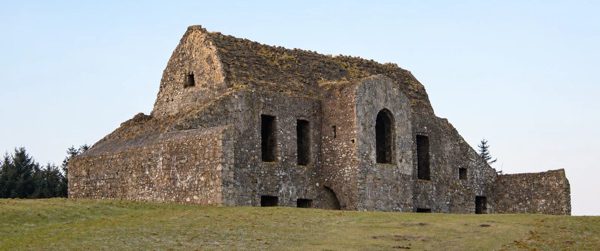
nature · 2.1 km
A ruined hunting lodge above Dublin, paired with the contrasting woodland of Massy’s Estate.
Open place page →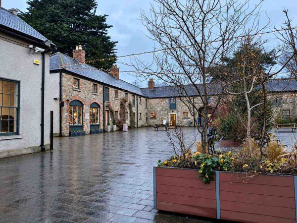
nature · 6.1 km
Woodland, lawns, a walled garden and a craft courtyard at the foot of the Dublin Mountains.
Open place page →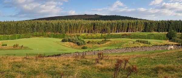
nature · 6.7 km
Forest trails, granite outcrops and an upland cairn above Dublin, reached from Ticknock.
Open place page →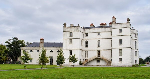
heritage · 8.3 km
An Elizabethan fortified house with later decorative interiors in Rathfarnham.
Open place page →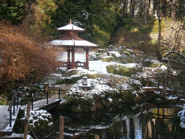
heritage · 12.0 km
Italian terraces, a Japanese garden and wooded corners make Powerscourt a garden visit with a mountain backdrop.
Open place page →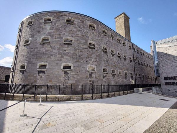
heritage · 12.2 km
A guided visit to a former prison that connects ordinary imprisonment with pivotal episodes of Irish political history.
Open place page →A first-hand family outing describes a morning walk with children and dogs around the reservoirs, while calling attention to the limited parking described at the time. It supports planning arrival before choosing the walk. The 2025 account cannot establish current spaces, charges, gate hours or reservoir rules.
Original paraphrases of public visitor accounts. These are limited perspectives, not a representative survey or a claim of our own visit. Use current operator information for access and opening.
Location & access
This is operational water infrastructure. Stay on permitted routes and do not treat the reservoir as a recreational swimming lake.
53.23400, -6.34500 · Reference point; confirm the correct entrance and access. Map © OpenStreetMap contributors.
Source-based place brief. A catalogue reference is not a live availability check or a report of a personal visit.
Visitor details checked 15 October 2026. Page content updated 2026-10-15.