Montpelier lodge
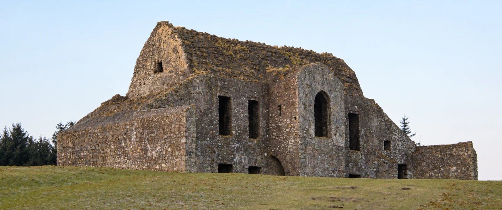
Look at the stone ruin and the relationship between the hilltop and the city below.
nature · Dublin
A ruined hunting lodge above Dublin, paired with the contrasting woodland of Massy’s Estate.
Source-based editorial assessment · out of 10
A ruined hunting lodge above the city and the contrasting woodland of Massy’s Estate combine human history, views and forest atmosphere in one area.
Choose the hill or woodland route to suit ability. Climbs, weather, gate times and the lack of listed toilets reduce spontaneity; proposed facilities should not be assumed open.
Best for: Views and woodland history
Planning blend: 6.5 / 10 · Sustainability: unrated
Experience considers the reward and depth of this particular stop. Visitor friendliness considers practical ease: arrival, booking, physical demands, cost and flexibility. These are editorial judgements based on linked information, not visitor averages or a claim of a personal visit.
Assessed . Supporting guide source-check date: 15 October 2026. The assessment date does not mean every linked source was newly checked.
The blend uses (40 × Experience + 55 × Visitor friendliness) ÷ 95, rounded to the nearest half point. Missing sustainability does not affect it. A missing current visit score is not zero and has no blend.
A high score is not a safety clearance or a guarantee of step-free access. Food-stop scores concern the planned visit, not an untested meal. Read the scale and scope · Suggest a correction.
From research
Choose the hill for city views and a climb; choose the woodland for a more sheltered walk. Neither is a substitute for a surfaced city park when mobility or weather is a concern.
Before you go: The visitor centre, café and tree-top walkway described in the development project are proposed facilities, not services to assume are open.
Place highlights
Look at the stone ruin and the relationship between the hilltop and the city below.
Across the road, an estate landscape offers a different walk among trees and surviving estate features.
The story behind the visit
The Hellfire name encourages supernatural stories, but the building has a more tangible beginning: an eighteenth-century shooting lodge on Montpelier Hill. Dublin Mountains Partnership dates it to around 1725. Its elevated position explains both its commanding view and its exposure. Looking outward from the ruin helps place the city against its mountain edge; looking back at the structure makes the contrast between a fashionable retreat and an abandoned shell immediately clear. Legends are part of its reputation, not established evidence of supernatural events. Source ↗
Massy’s Estate offers a different way to read the same landscape. Woodland paths and estate remains reward close attention at ground level rather than a summit photograph. Combining the two can work, but they are separate areas with a road between them. A planned visitor-centre development adds another layer of change; its promises of new facilities must not be mistaken for what is operating today. Check site notices, choose an appropriate marked walk and turn back if conditions make the hill unsuitable. Source ↗
Dated visitor information
Use the R115 forest car park entrance. DMP lists a Saturday Local Link SD4 service; verify the actual timetable before relying on it. Official visitor information ↗
Source information checked 15 October 2026; confirm current access and visitor arrangements with the operator.
The project website still describes design-stage development; do not plan around its proposed café or toilets. Source ↗
They are legends associated with the lodge, distinct from its documented history. Source ↗
Yes as a separate woodland visit, using its own map and a careful road crossing; do not assume a new connecting walkway exists. Source ↗
Nearby options
Distances are straight-line estimates between catalogue pins, within 30 km. Roads, entrances and walking routes may be much longer. Known closed places are excluded; inclusion does not confirm opening today.
nature · 2.1 km
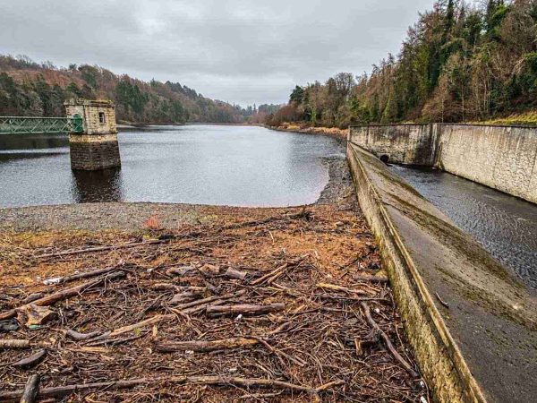
A walk through Glenasmole’s working water-supply landscape, following the reservoirs and the Dodder valley.
Open place page →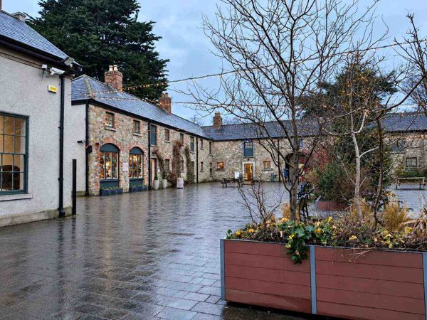
nature · 4.2 km
Woodland, lawns, a walled garden and a craft courtyard at the foot of the Dublin Mountains.
Open place page →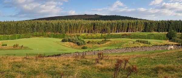
nature · 5.5 km
Forest trails, granite outcrops and an upland cairn above Dublin, reached from Ticknock.
Open place page →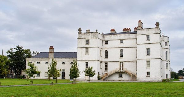
heritage · 6.2 km
An Elizabethan fortified house with later decorative interiors in Rathfarnham.
Open place page →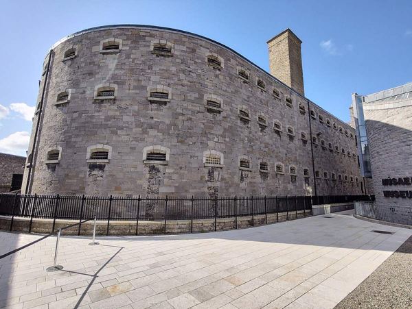
heritage · 10.2 km
A guided visit to a former prison that connects ordinary imprisonment with pivotal episodes of Irish political history.
Open place page →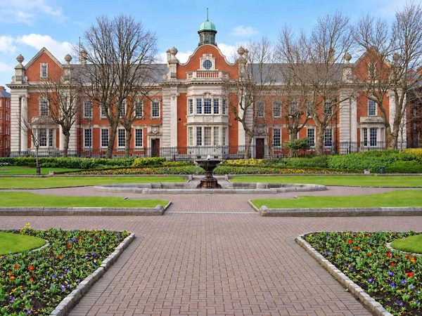
attraction · 10.5 km
A neighbourhood walk through Dublin’s weaving, trade and brewing history, with independent streets and separately ticketed attractions.
Open place page →One public walker enjoys the forest and ruin but describes a steep, eroded descent on the route taken. That useful caution matters more than the haunting stories: the visit still needs suitable footwear and a comfortable way back. The chosen direction and old surface report are not route instructions or evidence of present access.
Original paraphrases of public visitor accounts. These are limited perspectives, not a representative survey or a claim of our own visit. Use current operator information for access and opening.
Location & access
The visitor centre, café and tree-top walkway described in the development project are proposed facilities, not services to assume are open.
53.25100, -6.33000 · Reference point; confirm the correct entrance and access. Map © OpenStreetMap contributors.
Source-based place brief. A catalogue reference is not a live availability check or a report of a personal visit.
Visitor details checked 15 October 2026. Page content updated 2026-10-15.