Canal engineering
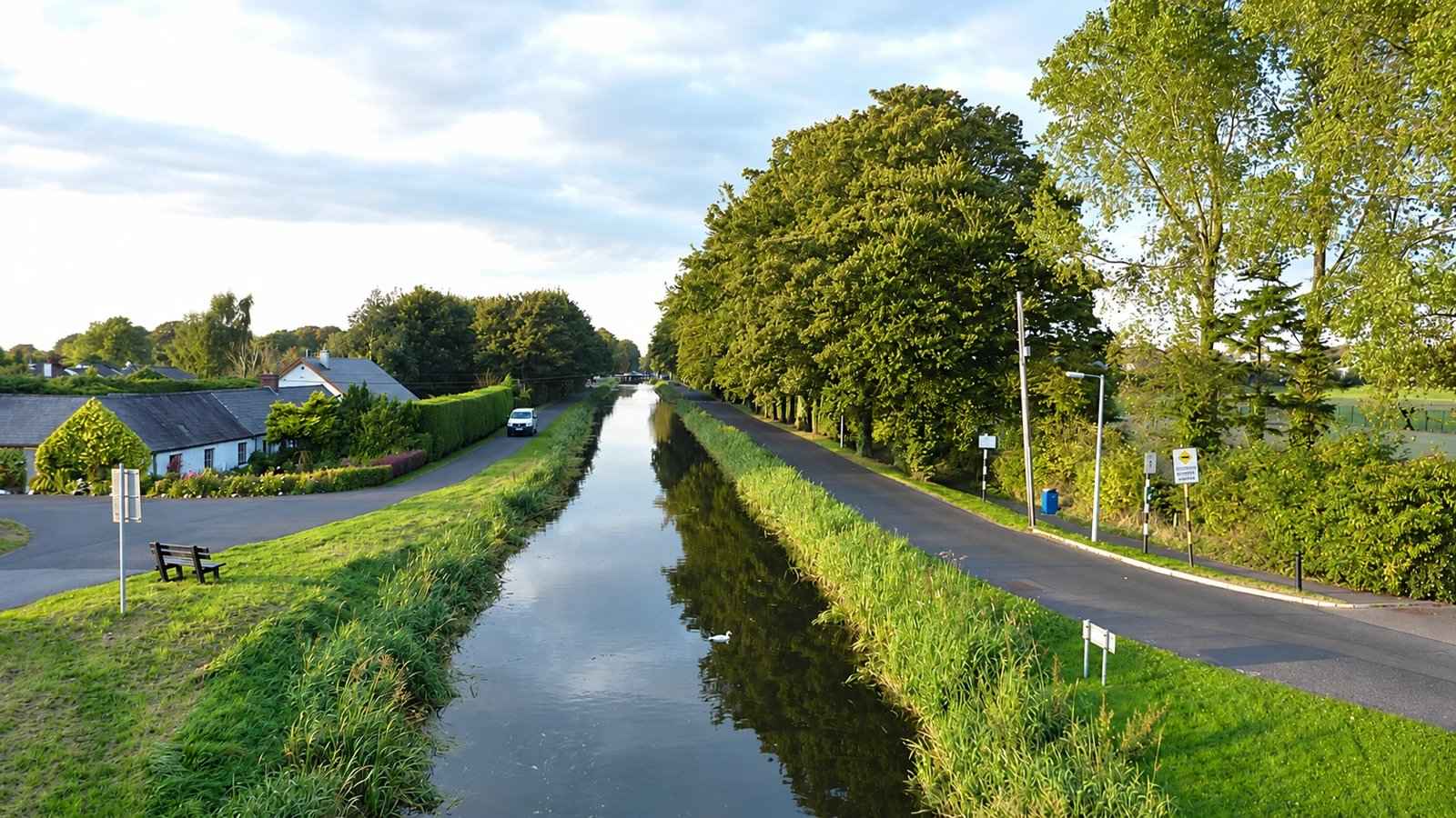
Look for bridges, locks and moorings as signs of the waterway’s working history.
nature · Kildare
A canal outing around Sallins and the Naas branch, with different route directions and surfaces to check before setting out.
Source-based editorial assessment · out of 10
Naas connection includes branch-road sections; not an all-traffic-free promise
The canal branch and Naas harbour offer a quieter waterway outing, particularly for visitors who enjoy locks, canal-town context and a landscape that unfolds gradually.
Sallins has a nearby rail station and services, but confirm the exact branch route and connections. Government information describes branch-road sections, so do not assume an entirely traffic-free itinerary.
Best for: Canal-town walking
Planning blend: 7.0 / 10 · Sustainability: unrated
Experience considers the reward and depth of this particular stop. Visitor friendliness considers practical ease: arrival, booking, physical demands, cost and flexibility. These are editorial judgements based on linked information, not visitor averages or a claim of a personal visit.
Assessed . Supporting guide source-check date: 2026-08-29. Current notice checked 2026-10-19. The assessment date does not mean every linked source was newly checked.
The blend uses (40 × Experience + 55 × Visitor friendliness) ÷ 95, rounded to the nearest half point. Missing sustainability does not affect it. A missing current visit score is not zero and has no blend.
A high score is not a safety clearance or a guarantee of step-free access. Food-stop scores concern the planned visit, not an untested meal. Read the scale and scope · Suggest a correction.
From research
Choose it for waterway detail, town context and a walk you can shorten or extend deliberately. Select the main canal or Naas branch before starting, and plan whether you will retrace your route or use a separate onward connection.
Before you go: The government guide describes mixed surfaces and branch-road sections. Do not assume every kilometre is a segregated traffic-free greenway.
Place highlights
Look for bridges, locks and moorings as signs of the waterway’s working history.
Use the junction and town context to understand which direction belongs to your chosen outing.
The story behind the visit
A canal can look like one obvious line on a map, but the branch towards Naas makes route choice important at Sallins. The government visitor guide distinguishes the main canal from the branch road connection. Decide which landscape and destination you want before walking away from your arrival point; otherwise a casual waterside pause can become an unintended one-way journey. Source ↗
A shorter out-and-back can be a complete outing. Leave time to notice bridges, boats and locks rather than using every available hour to cover distance. If finishing in a different town, organise that return before setting out and keep any road sections visible in the plan. Match the surface and crossings to the people travelling. Source ↗
Dated visitor information
Choose the exact canal access point and direction before travelling to Sallins. Check the onward leg from Naas separately if planning a one-way outing. Official visitor information ↗
Source information checked 19 October 2026; confirm current access and visitor arrangements with the operator.
No. This entry is a local Sallins–Naas planning reference, not the full cross-country route. Source ↗
Do not assume so; official information describes branch-road and shared sections. Source ↗
Choose an out-and-back only after checking the actual route and available time; arrange transport separately for a one-way finish. Source ↗
Nearby options
Distances are straight-line estimates between catalogue pins, within 30 km. Roads, entrances and walking routes may be much longer. Known closed places are excluded; inclusion does not confirm opening today.
heritage · 8.0 km
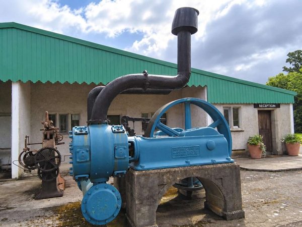
Stationary engines and a walled garden at Straffan, with scheduled steam-ups that change the character of the visit.
Open place page →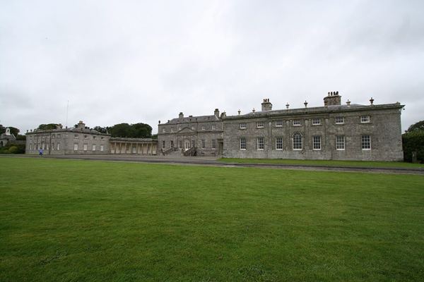
heritage · 13.3 km
A Palladian house and parkland outing near Blessington, with separate choices for interior tours and outdoor activities.
Open place page →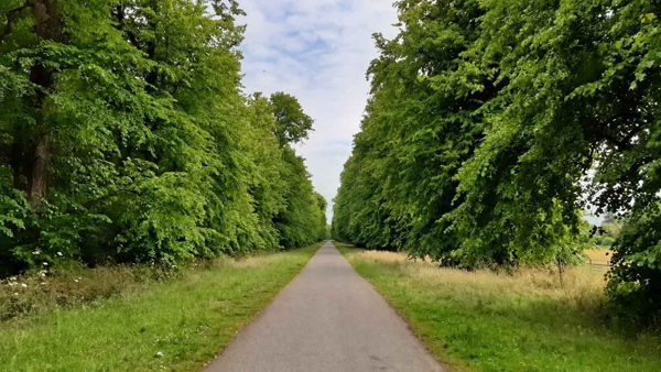
nature · 13.9 km
Free parkland and riverside walking around Castletown, with a designed landscape that rewards more than a quick circuit.
Open place page →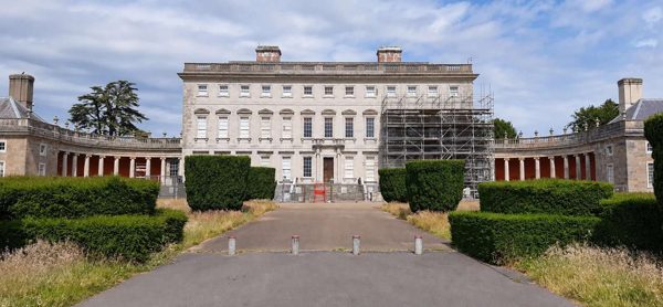
heritage · 13.9 km
A Palladian house in Celbridge with decorative interiors, a surviving print room and parkland beside the Liffey.
Open place page →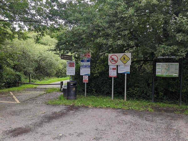
nature · 14.4 km
A linear lakeside and woodland walk towards Russborough, with road sections and crossings to include in the plan.
Open place page →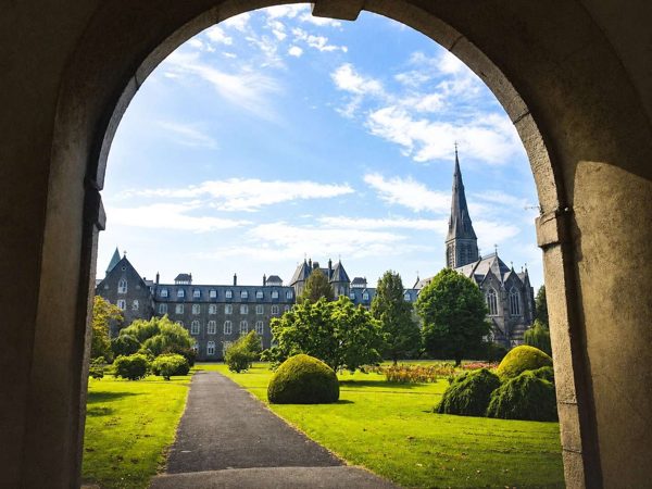
heritage · 15.2 km
A town and historic college outing, with chapel and museum visits dependent on their own visitor arrangements.
Open place page →A first-person canal-walking account notices the moored boats, old mill and surviving dry-dock traces around Sallins. Those small details give a towpath walk a story beyond the distance covered. The account continues towards Robertstown, so use it for local canal context rather than as instructions for this guide’s Naas-side outing.
Original paraphrases of public visitor accounts. These are limited perspectives, not a representative survey or a claim of our own visit. Use current operator information for access and opening.
Location & access
The government guide describes mixed surfaces and branch-road sections. Do not assume every kilometre is a segregated traffic-free greenway.
53.24919, -6.65740 · Reference point; confirm the correct entrance and access. Map © OpenStreetMap contributors.
Source-based place brief. A catalogue reference is not a live availability check or a report of a personal visit.
Visitor details checked 19 October 2026. Page content updated 2026-10-19.