Plan the stop
Confirm the chosen route colour and current notices.
service · County Wicklow
A practical place to check the official trail map and ask about current routes near the Upper Lake. This is a support stop, separate from the OPW monastic visitor centre.
Planning context
This is a practical service reference. We have not verified enough about availability, charges or service quality to assign a useful score. Check its source and current on-site information before relying on it.
From research
A practical place to check the official trail map and ask about current routes near the Upper Lake. This is a support stop, separate from the OPW monastic visitor centre.
Reference scope: This support reference has no numerical experience or service-quality score. Verify the service you intend to use.
Place highlights
Confirm the chosen route colour and current notices.
Check seasonal staffing; an office can close unexpectedly for incidents.
The story behind the visit
Confirm the chosen route colour and current notices. Source ↗
Check seasonal staffing; an office can close unexpectedly for incidents. Source ↗
Dated visitor information
At the Upper Lake; separate from the OPW monastic visitor centre. Official visitor information ↗
Source information checked 19 October 2026; confirm current access and visitor arrangements with the operator.
No. It is a practical support reference for organising the day. Source ↗
Nearby options
Distances are straight-line estimates between catalogue pins, within 30 km. Roads, entrances and walking routes may be much longer. Known closed places are excluded; inclusion does not confirm opening today.
attraction · 0.0 km
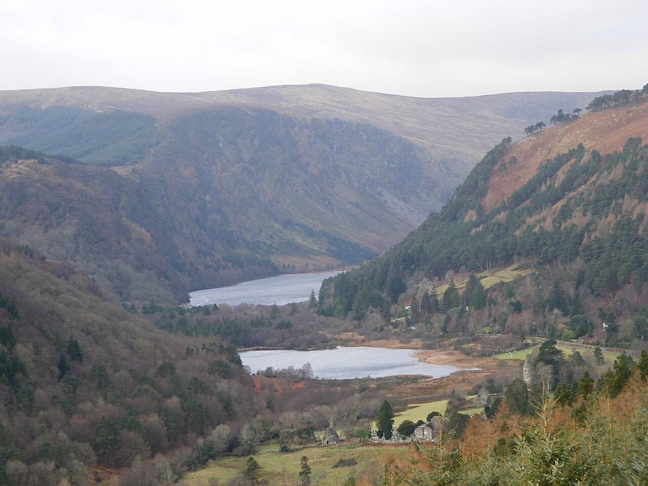
The blue Spinc Short Route is a hillwalk with a strong view of the Upper Lake. “Short” distinguishes it from longer Spinc routes; it does not turn the outing into an easy lakeside stroll.
Open place page →attraction · 0.0 km
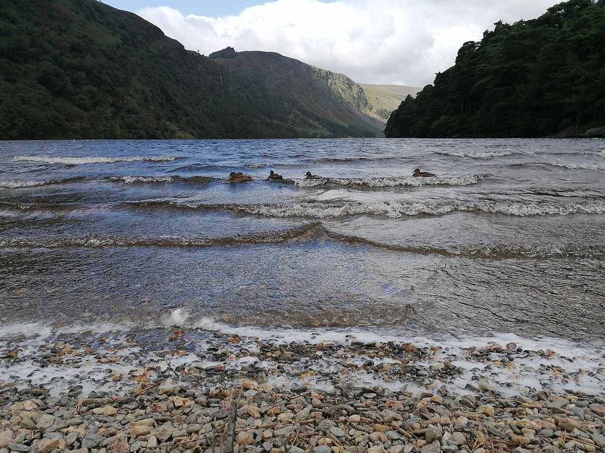
The Upper Lake is a place to stop and look, not merely the starting gate for a hike. The long view into the valley gives a first visit a strong landscape focus without requiring a climb onto the Spinc.
Open place page →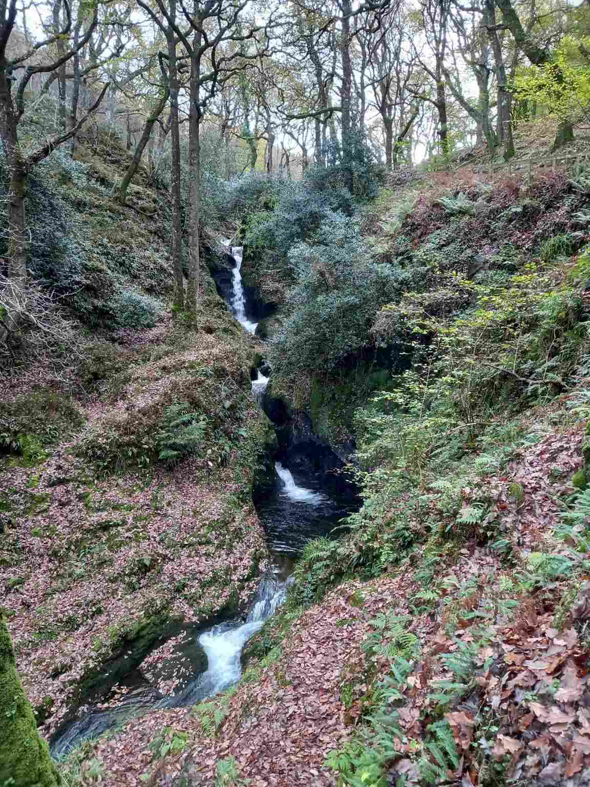
attraction · 0.2 km
Poulanass offers moving water and woodland close to the Upper Lake visitor area. It is a shorter walking choice, but the climb and wet footing make it different from a flat lakeside pause.
Open place page →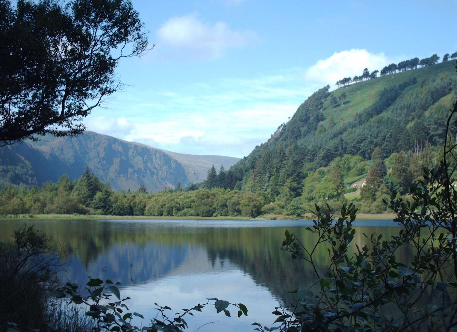
attraction · 0.6 km
The Lower Lake and Green Road give you a woodland-and-water alternative to the high trails. Choose a short out-and-back or a signed circuit that fits your group, with room to pause rather than treating the…
Open place page →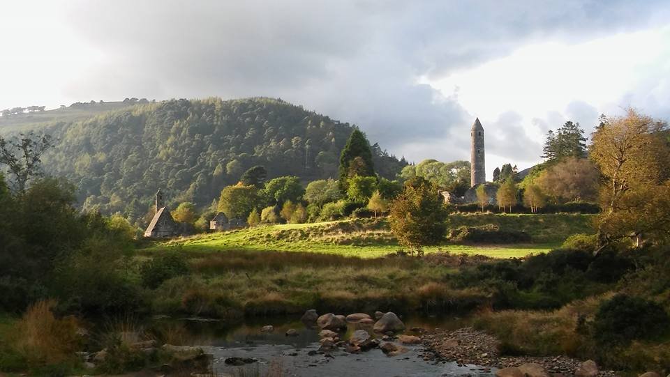
attraction · 1.2 km
The Monastic City brings the round tower, churches and graveyard into one concentrated heritage visit. Slow down at ground level: the relationship between the buildings is more interesting than collecting the…
Open place page →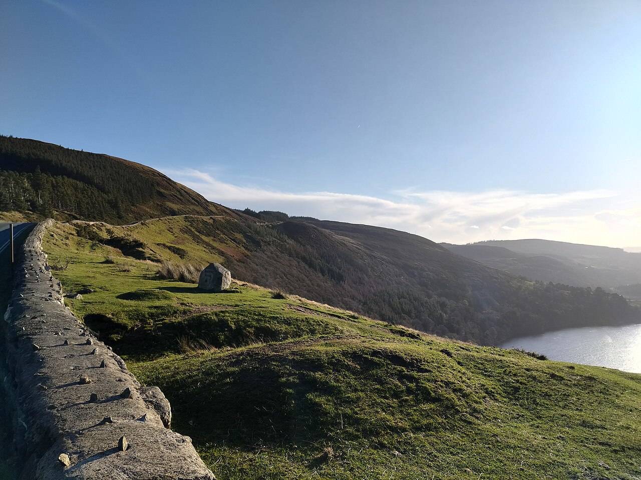
nature · 1.2 km
Wicklow Mountains National Park is a broad upland landscape with many possible entrances and walks. A regional pin is an orientation aid, not a trailhead.
Open place page →Location & access
Suggested visit allowance: about 30 minutes. Allow additional time for transfers and breaks.
53.00840, -6.34450 · Reference point; confirm the correct entrance and access. Map © OpenStreetMap contributors.
Source-based place brief. A catalogue reference is not a live availability check or a report of a personal visit.
Visitor details checked 19 October 2026. Page content updated 2026-10-20.