Choose a specific landscape
Glendalough, upland roads and individual mountain trails offer different experiences and access.
Ireland / Visitor guide
Wicklow Mountains National Park is a wider landscape, not one attraction or one trail. Glendalough is one starting point within it. Pick a specific walking area or visitor stop before using navigation, rather than treating the overview pin as a route entrance.
By Nick · Published · Updated . Source-based visitor brief; not a report of a personal visit.
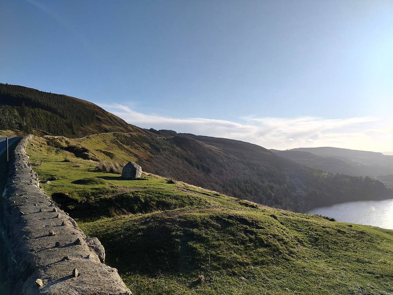
No. The National Park describes uplands, streams, wooded valleys and lakes, with Glendalough as a much-visited part of that landscape. A short visit can focus on one area without attempting to cover the whole park.
If the valley and heritage setting appeal to you, use the Glendalough brief as a starting point. For another part of the park, consult the official map and walking information first. This guide does not prescribe a mountain route or claim that every informal path is maintained.
Write down one named visitor point and, if walking, one official marked route before setting off. Save the relevant park map and current notices rather than relying on the overview pin. Ask everyone in your group whether they want a heritage visit, a valley walk or a mountain outing; those choices need different preparation. If the chosen route or access is unclear, return to the visitor information and reduce the plan to one established stop. Avoid adding several scattered pins just to make the itinerary look fuller.
Check current park notices, trail grades, weather and access for the area you choose. Driving distance, journey time and exact trail entrances are not verified here. Set your navigation destination after choosing the actual visitor point.
Choose the part of the park you want to visit before searching for directions. A Glendalough heritage visit, a walk from the Upper Lake Information Office and a wider upland outing need different starting points. The official park map is useful for understanding that geography; it is not a promise of parking or a suggested drive between every viewpoint. Save the name of your chosen arrival point, check the exact access with the provider, and keep an alternative if that visit cannot go ahead. Confirm any public-transport connection and return service with the operator. No Dublin-to-park driving time is calculated here.
Use the current park notices alongside the weather forecast for the area you have chosen. The walking page records storm-damage closures and diversions around Poulanass, so a familiar trail name is not enough to establish that its normal loop is available. A shorter marked route and a mountain route are separate choices, even when they begin near the same visitor area. Decide how much daylight your group needs to return without haste, and reduce the plan if the published grade or conditions do not suit everyone. For a scenery-focused visit, one established visitor stop can be a complete outing; a summit is optional.
The pin marks the Glendalough visitor area, not the whole park or a trail entrance. Check the official park map, trail information and current notices.
Open approximate destination point ↗ · Explore on the Ireland map →
The links below support this guide. Visitor context reviewed 2 October 2026. Confirm live access, facilities and opening information before travelling.
Source-based editorial assessment · out of 10
Choose one named route or valley for the day. You will get more from a well-matched walk than from trying to join distant mountain viewpoints into an improvised circuit.
Check the chosen route’s current notice and weather, including daylight and upland conditions. A road viewpoint does not establish access to neighbouring private land, and a general park page does not confirm every trail is open.
Best for: choose a specific landscape
Planning blend: 7.5 / 10 · Sustainability: unrated
Experience considers the reward and depth of this particular stop. Visitor friendliness considers practical ease: arrival, booking, physical demands, cost and flexibility. These are editorial judgements based on linked information, not visitor averages or a claim of a personal visit.
Assessed . Supporting guide source-check date: 2026-10-19. The assessment date does not mean every linked source was newly checked.
The blend uses (40 × Experience + 55 × Visitor friendliness) ÷ 95, rounded to the nearest half point. Missing sustainability does not affect it. A missing current visit score is not zero and has no blend.
A high score is not a safety clearance or a guarantee of step-free access. Food-stop scores concern the planned visit, not an untested meal. Read the scale and scope · Suggest a correction.
From research
Choose one named route or valley for the day. You will get more from a well-matched walk than from trying to join distant mountain viewpoints into an improvised circuit.
Before you go: Check the chosen route’s current notice and weather, including daylight and upland conditions.
Place highlights
Glendalough, upland roads and individual mountain trails offer different experiences and access.
Use current official route descriptions, difficulty and closure notices before deciding what belongs in the day.
The story behind the visit
The park’s valleys, bog and open uplands explain why Wicklow can feel very different from nearby Dublin. A visit needs a local focus to make that large landscape manageable. Source ↗
Dated visitor information
Navigate to the entrance of the named route you intend to walk. For Glendalough, use its dedicated guide and current parking and trail information. Official visitor information ↗
Source information checked 19 October 2026; confirm current access and visitor arrangements with the operator.
Do not rely on it. Choose a named route and its official starting point before travelling. Source ↗
Nearby options
Distances are straight-line estimates between catalogue pins, within 30 km. Roads, entrances and walking routes may be much longer. Known closed places are excluded; inclusion does not confirm opening today.
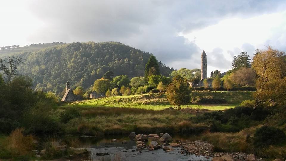
attraction · 0.1 km
The Monastic City brings the round tower, churches and graveyard into one concentrated heritage visit. Slow down at ground level: the relationship between the buildings is more interesting than collecting the…
Open place page →attraction · 0.3 km
Start here if you want context for the monuments, an indoor introduction or advice before choosing a walk. The staffed visitor centre is a different visit from the freely accessible ruins and lakes.
Open place page →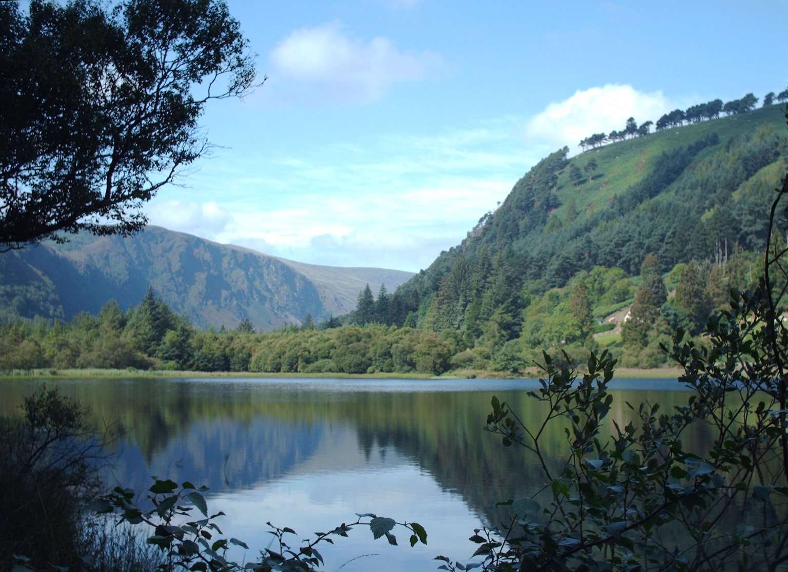
attraction · 0.6 km
The Lower Lake and Green Road give you a woodland-and-water alternative to the high trails. Choose a short out-and-back or a signed circuit that fits your group, with room to pause rather than treating the…
Open place page →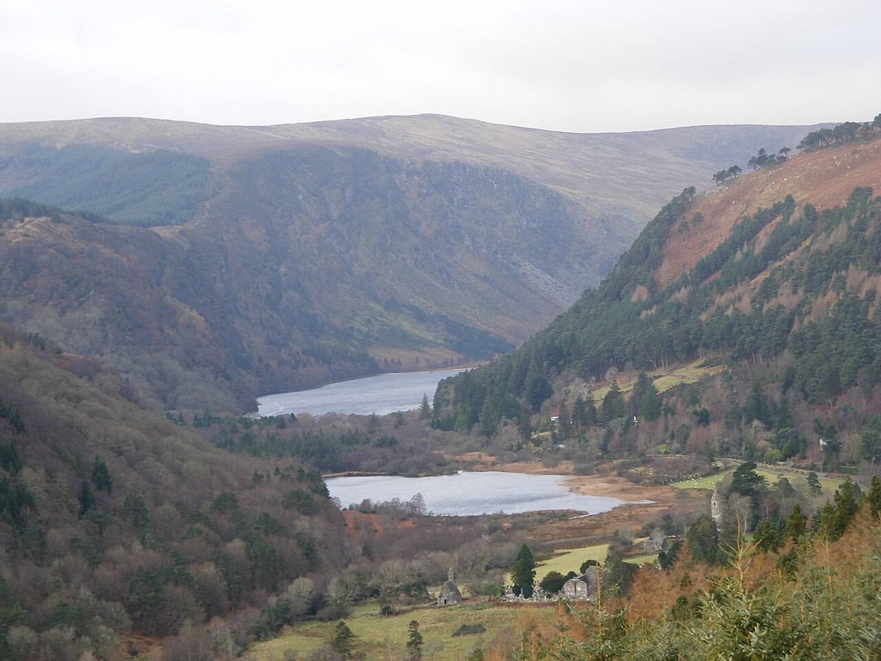
attraction · 1.2 km
The Upper Lake is a place to stop and look, not merely the starting gate for a hike. The long view into the valley gives a first visit a strong landscape focus without requiring a climb onto the Spinc.
Open place page →attraction · 1.2 km
The blue Spinc Short Route is a hillwalk with a strong view of the Upper Lake. “Short” distinguishes it from longer Spinc routes; it does not turn the outing into an easy lakeside stroll.
Open place page →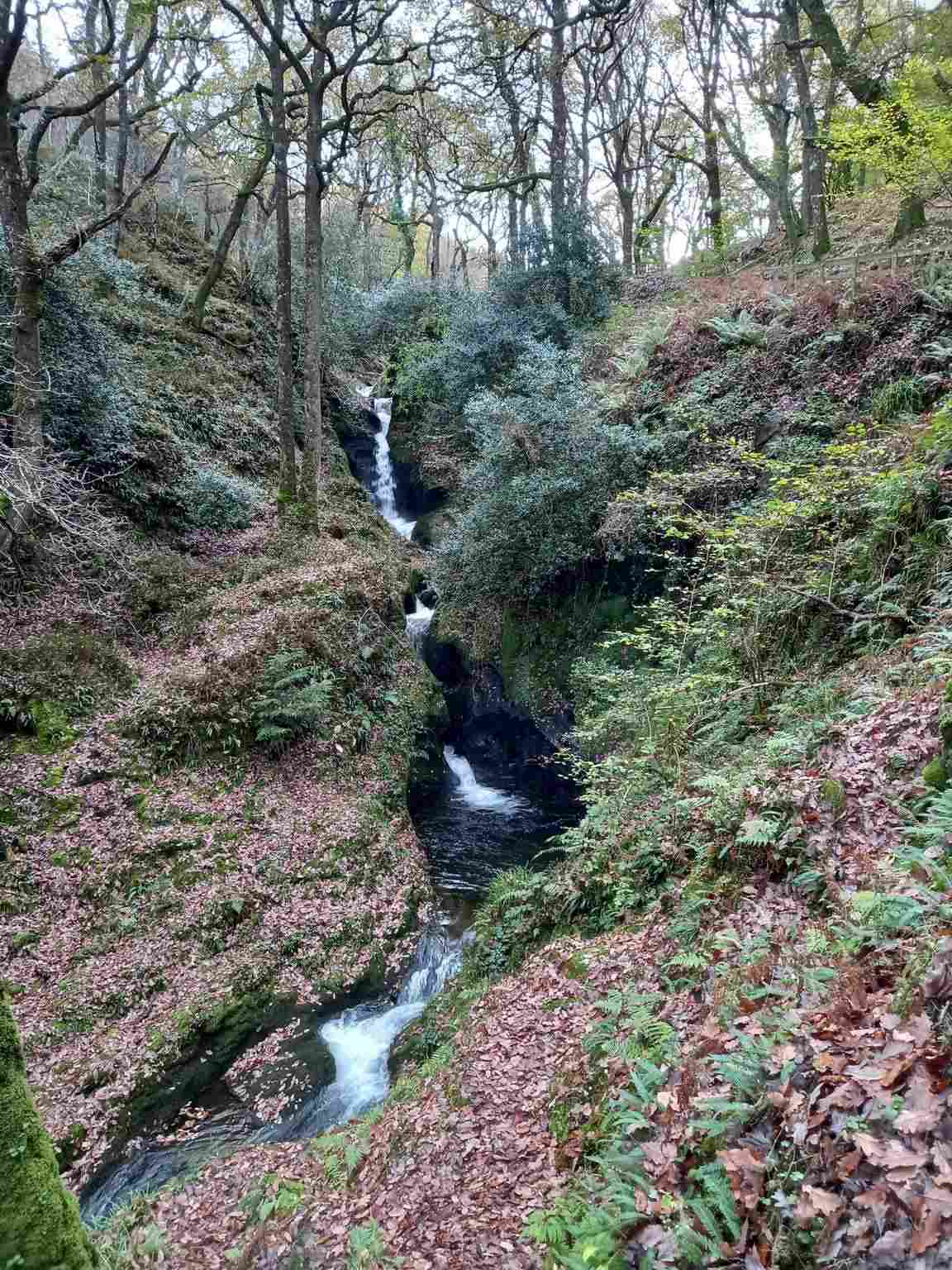
attraction · 1.3 km
Poulanass offers moving water and woodland close to the Upper Lake visitor area. It is a shorter walking choice, but the climb and wet footing make it different from a flat lakeside pause.
Open place page →Walker accounts around Glendalough repeatedly connect the higher views with a more demanding climb and changeable weather. They help explain one part of the park’s appeal, but they do not describe every Wicklow route. Choose a named walk for your own ability and leave the broad regional pin as orientation.
Original paraphrases of public visitor accounts. These are limited perspectives, not a representative survey or a claim of our own visit. Use current operator information for access and opening.
From Nick’s editing desk
By Nikhil (Nick) · Editorial notes updated . Researched visitor planning; the overview pin and these notes are not a personally surveyed mountain route.
I treat the Wicklow Mountains page as the beginning of a decision, because a national park is too large a subject for one useful arrival pin. A traveller may be looking for monastic history, a valley walk, a scenic stop or a demanding upland outing. Those should not become interchangeable just because they sit under the same destination label. This page is a researched overview; it does not describe a personally surveyed walking route or establish current conditions in the mountains.
The first thing I would write into a plan is a named starting place. Glendalough can be a good subject for someone interested in the relationship between the valley and its historic settlement. Another part of the park needs its own map and access information. An overview image can help you recognise the landscape, but it cannot settle where to park, which entrance to use or how a walk connects to your return transport. Resolve those questions before adding the next point.
The second decision is what the group means by going for a walk. A brief outing near a visitor area and an upland route can require very different preparation. Read the National Park's current route descriptions and grades, compare them with everyone's ability and discuss an alternative together. I would keep the official map and a clear return plan available independently of this overview. A route that looks short on a screen can still ask more of the group than the distance suggests.
Weather belongs in that choice from the start. The forecast for an intended higher route should not be replaced by a general impression of the day from a town or a sheltered valley. If conditions do not fit the plan, reduce its scope and choose an established visitor stop or a different activity. The guide is intended to make that adjustment straightforward: selecting a less demanding day is part of planning, rather than a failure to cover the park properly.
Once the starting point and activity are clear, check the ordinary details that make the visit work: transport, daylight, food, toilets and the availability of the particular facilities you need. Then follow the relevant destination guide for a more detailed account. My editorial preference is to give one area enough attention to understand it. A single well-chosen valley or heritage visit can introduce Wicklow more clearly than a long set of scattered pins whose journeys and access have not been worked through.