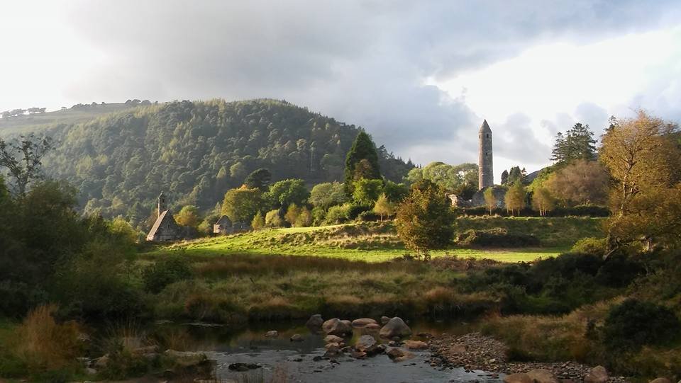
Round tower and church silhouettes
Notice the contrast between the freestanding tower and the roofed St Kevin’s Church; allow other visitors room to use the paths.
attraction · County Wicklow
The Monastic City brings the round tower, churches and graveyard into one concentrated heritage visit. Slow down at ground level: the relationship between the buildings is more interesting than collecting the same tower photograph from every angle.
Source-based editorial assessment · out of 10
Choose this for a first Glendalough visit or a history-led afternoon. It is a meaningful destination even when a mountain walk does not suit the weather or your group. Keep the visit respectful: this is a historic religious landscape, not a climbing area or a backdrop that belongs exclusively to photographers.
Uneven paving and graveyard surfaces matter. Centre accessibility does not establish an accessible route through all of the outdoor remains. Navigate to the Monastic City or OPW visitor-centre area, then use the signed public paths. If your return bus leaves elsewhere, leave time to reach that actual departure point.
Best for: Medieval buildings in their valley setting
Planning blend: 8.0 / 10 · Sustainability: unrated
Experience considers the reward and depth of this particular stop. Visitor friendliness considers practical ease: arrival, booking, physical demands, cost and flexibility. These are editorial judgements based on linked information, not visitor averages or a claim of a personal visit.
Assessed . Supporting guide source-check date: 2026-10-19. The assessment date does not mean every linked source was newly checked.
The blend uses (40 × Experience + 55 × Visitor friendliness) ÷ 95, rounded to the nearest half point. Missing sustainability does not affect it. A missing current visit score is not zero and has no blend.
A high score is not a safety clearance or a guarantee of step-free access. Food-stop scores concern the planned visit, not an untested meal. Read the scale and scope · Suggest a correction.
From research
Choose this for a first Glendalough visit or a history-led afternoon. It is a meaningful destination even when a mountain walk does not suit the weather or your group. Keep the visit respectful: this is a historic religious landscape, not a climbing area or a backdrop that belongs exclusively to photographers.
Before you go: Uneven paving and graveyard surfaces matter. Centre accessibility does not establish an accessible route through all of the outdoor remains.
Place highlights
Notice the contrast between the freestanding tower and the roofed St Kevin’s Church; allow other visitors room to use the paths.
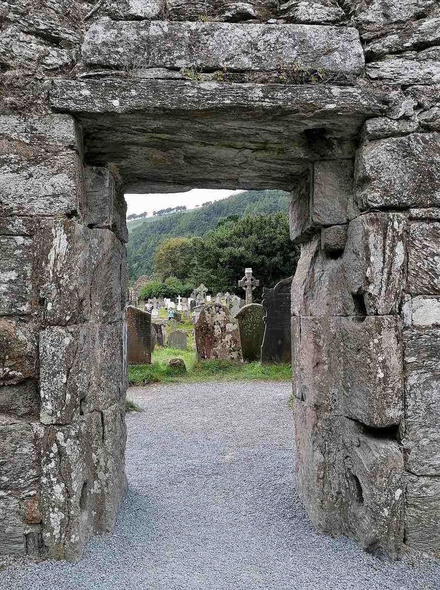
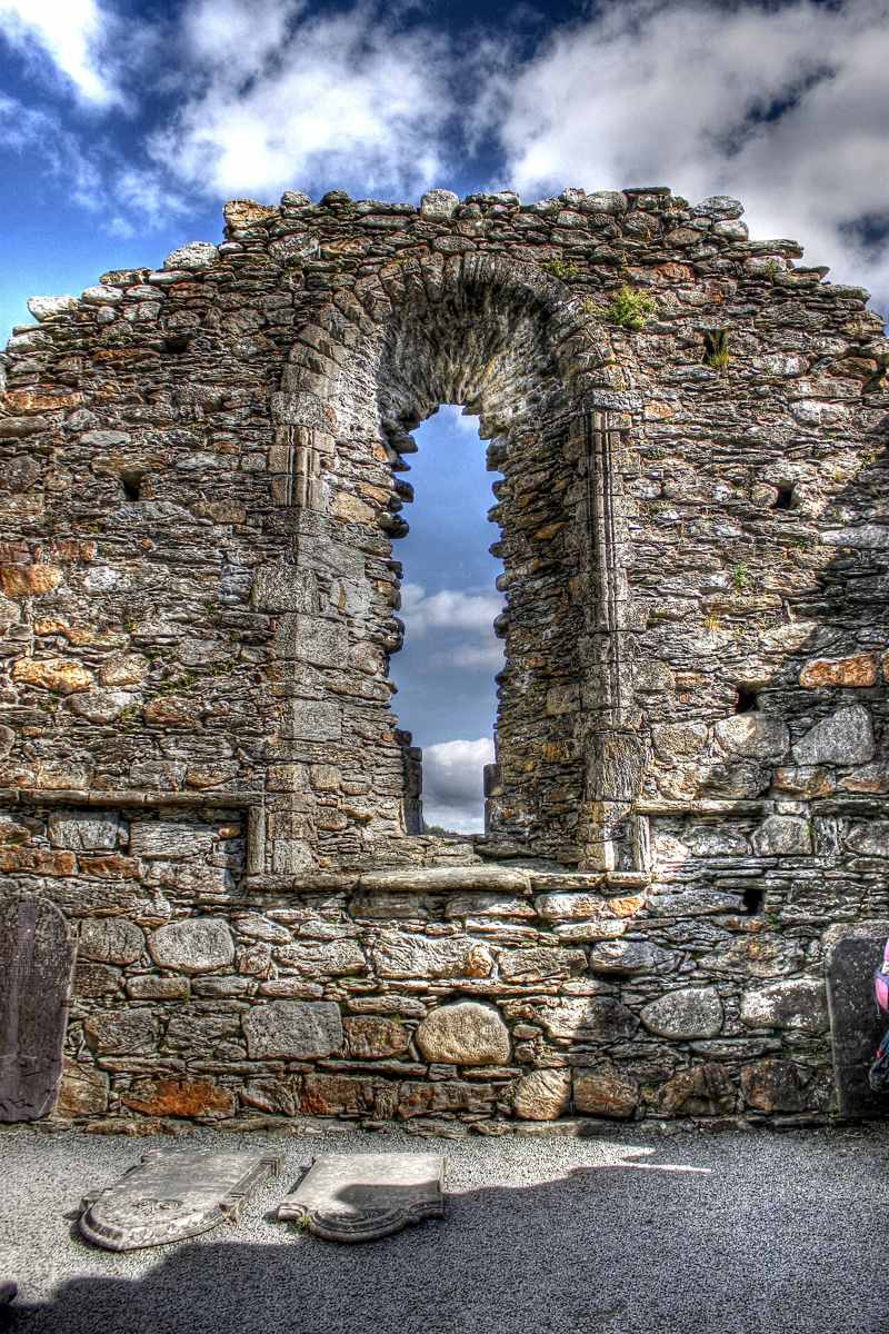
Look at gateways, stonework and the changing footprint of the churches rather than climbing or touching fragile remains.
The story behind the visit
The site rewards looking from more than one scale. From outside, the tower gives the settlement its familiar outline against the hills. Inside, paths, walls and church spaces bring the visitor back to the ground. Move between an overall view and a closer observation, allowing the ruins to become a place rather than a single landmark. Source ↗
The story of Saint Kevin is part history and part religious tradition. Read interpretation carefully and keep that distinction when telling the story to others. A sensible first circuit leaves time for questions and pauses. The lakes can follow if you still have time, but there is no need to make an exposed hike the test of whether the day was worthwhile. Source ↗
Dated visitor information
Navigate to the Monastic City or OPW visitor-centre area, then use the signed public paths. If your return bus leaves elsewhere, leave time to reach that actual departure point. Official visitor information ↗
Source information checked 19 October 2026; confirm current access and visitor arrangements with the operator.
Treat the visit as ground-level viewing. Stay on permitted paths and follow site restrictions. Source ↗
Only with enough time, suitable conditions and a group prepared for the hike. The heritage visit and the mountain loop are separate decisions. Source ↗
Do not assume so: the official warning about graveyard surfaces is particularly relevant when planning mobility access. Source ↗
Nearby options
Distances are straight-line estimates between catalogue pins, within 30 km. Roads, entrances and walking routes may be much longer. Known closed places are excluded; inclusion does not confirm opening today.
nature · 0.1 km
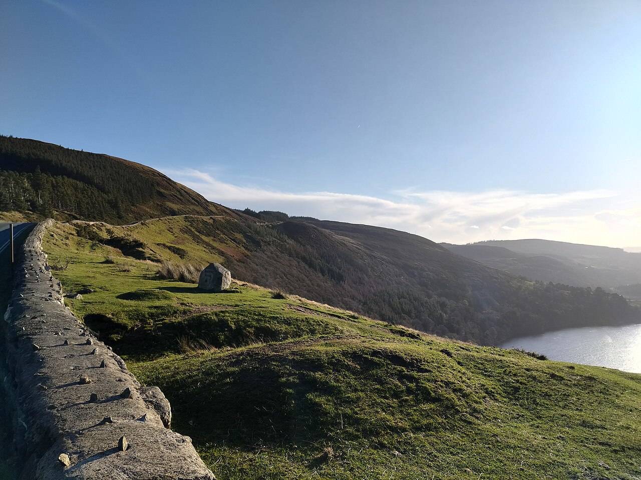
Wicklow Mountains National Park is a broad upland landscape with many possible entrances and walks. A regional pin is an orientation aid, not a trailhead.
Open place page →attraction · 0.3 km
Start here if you want context for the monuments, an indoor introduction or advice before choosing a walk. The staffed visitor centre is a different visit from the freely accessible ruins and lakes.
Open place page →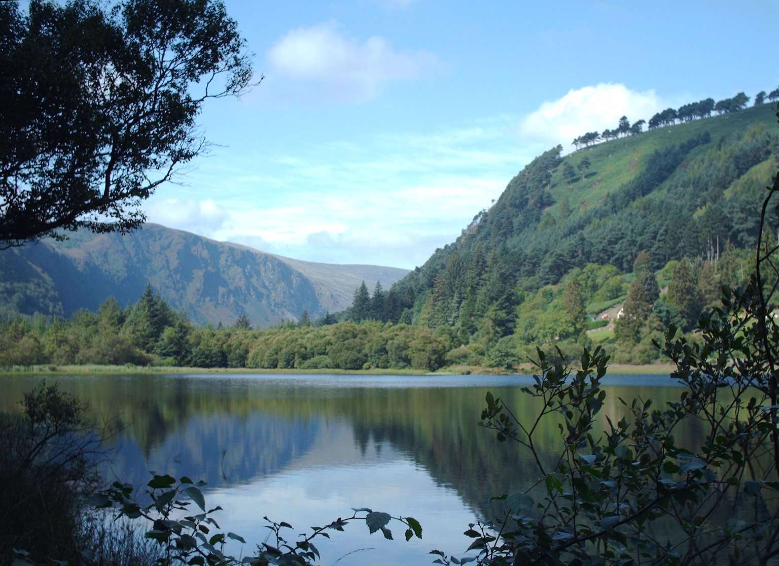
attraction · 0.6 km
The Lower Lake and Green Road give you a woodland-and-water alternative to the high trails. Choose a short out-and-back or a signed circuit that fits your group, with room to pause rather than treating the…
Open place page →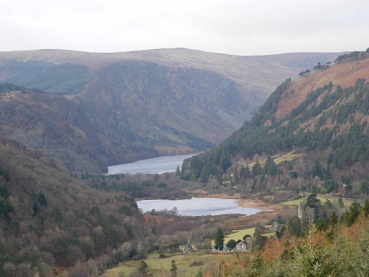
attraction · 1.1 km
The Upper Lake is a place to stop and look, not merely the starting gate for a hike. The long view into the valley gives a first visit a strong landscape focus without requiring a climb onto the Spinc.
Open place page →attraction · 1.2 km
The blue Spinc Short Route is a hillwalk with a strong view of the Upper Lake. “Short” distinguishes it from longer Spinc routes; it does not turn the outing into an easy lakeside stroll.
Open place page →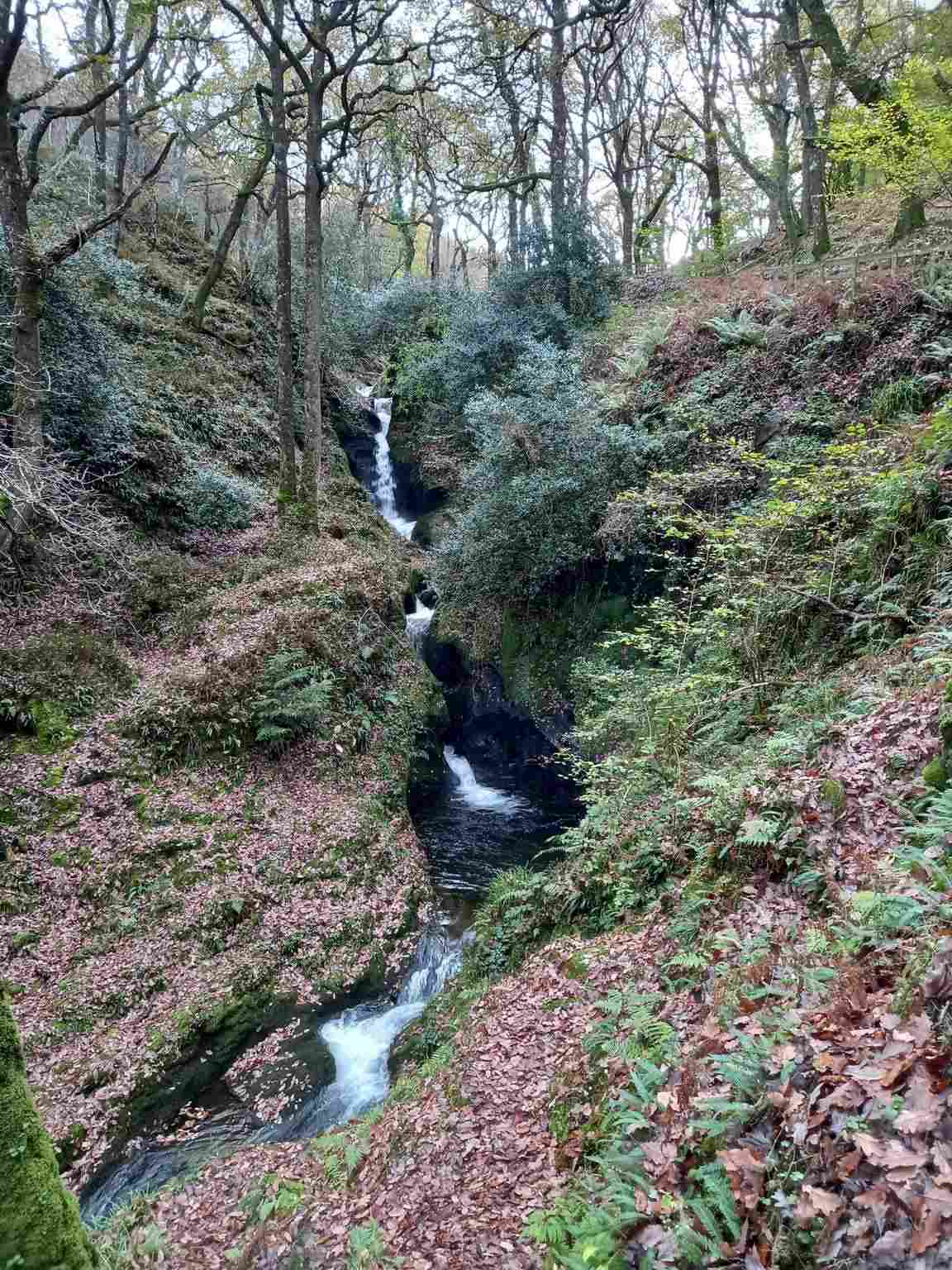
attraction · 1.2 km
Poulanass offers moving water and woodland close to the Upper Lake visitor area. It is a shorter walking choice, but the climb and wet footing make it different from a flat lakeside pause.
Open place page →A detailed visitor account notices the slope into the graveyard and uneven stones around the historic remains. That adds a practical note to the familiar tower photograph: take the visit slowly and look at the ground as well as the buildings. Use the operator’s access information for your group’s specific needs.
Original paraphrases of public visitor accounts. These are limited perspectives, not a representative survey or a claim of our own visit. Use current operator information for access and opening.
Location & access
Suggested visit allowance: about 75 minutes. Allow additional time for transfers and breaks.
53.01090, -6.32760 · Reference point; confirm the correct entrance and access. Map © OpenStreetMap contributors.
Source-based place brief. A catalogue reference is not a live availability check or a report of a personal visit.
Visitor details checked 19 October 2026. Page content updated 2026-10-20.