Changing views along the valley
Look for the transition between buildings, woodland and water rather than expecting one continuously open lake view.
attraction · County Wicklow
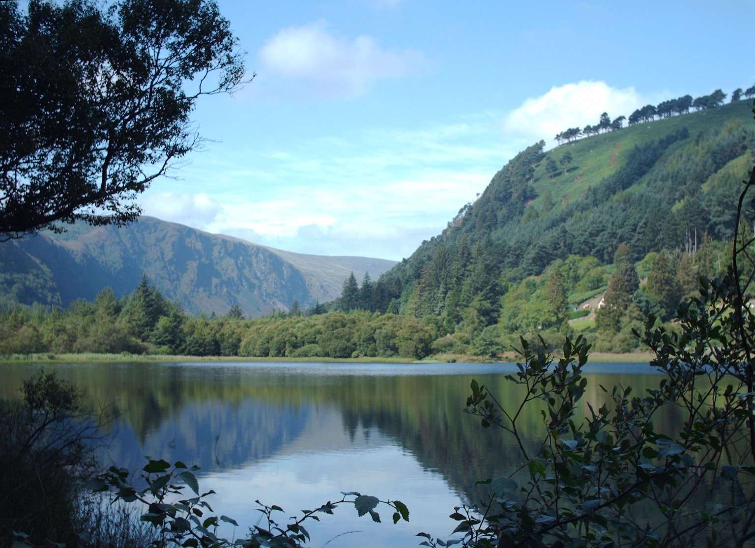
The Lower Lake and Green Road give you a woodland-and-water alternative to the high trails. Choose a short out-and-back or a signed circuit that fits your group, with room to pause rather than treating the lake as a transfer corridor.
Source-based editorial assessment · out of 10
This is a useful way to combine monastic history and landscape in one day. Its appeal is flexibility: you can spend longer noticing the valley or shorten the outing before it becomes a race for transport. A lower-level route still needs suitable footwear and a current access check.
The signed Green Road route and a point beside the Lower Lake are not the same thing. Use the official map to choose the start, return and total distance you intend to walk. Begin from your chosen official valley access point and follow the signed route. Keep the Lower Lake reference pin as orientation, not turn-by-turn navigation.
Best for: A flexible valley-floor outing
Planning blend: 8.0 / 10 · Sustainability: unrated
Experience considers the reward and depth of this particular stop. Visitor friendliness considers practical ease: arrival, booking, physical demands, cost and flexibility. These are editorial judgements based on linked information, not visitor averages or a claim of a personal visit.
Assessed . Supporting guide source-check date: 2026-10-19. The assessment date does not mean every linked source was newly checked.
The blend uses (40 × Experience + 55 × Visitor friendliness) ÷ 95, rounded to the nearest half point. Missing sustainability does not affect it. A missing current visit score is not zero and has no blend.
A high score is not a safety clearance or a guarantee of step-free access. Food-stop scores concern the planned visit, not an untested meal. Read the scale and scope · Suggest a correction.
From research
This is a useful way to combine monastic history and landscape in one day. Its appeal is flexibility: you can spend longer noticing the valley or shorten the outing before it becomes a race for transport. A lower-level route still needs suitable footwear and a current access check.
Before you go: The signed Green Road route and a point beside the Lower Lake are not the same thing. Use the official map to choose the start, return and total distance you intend to walk.
Place highlights
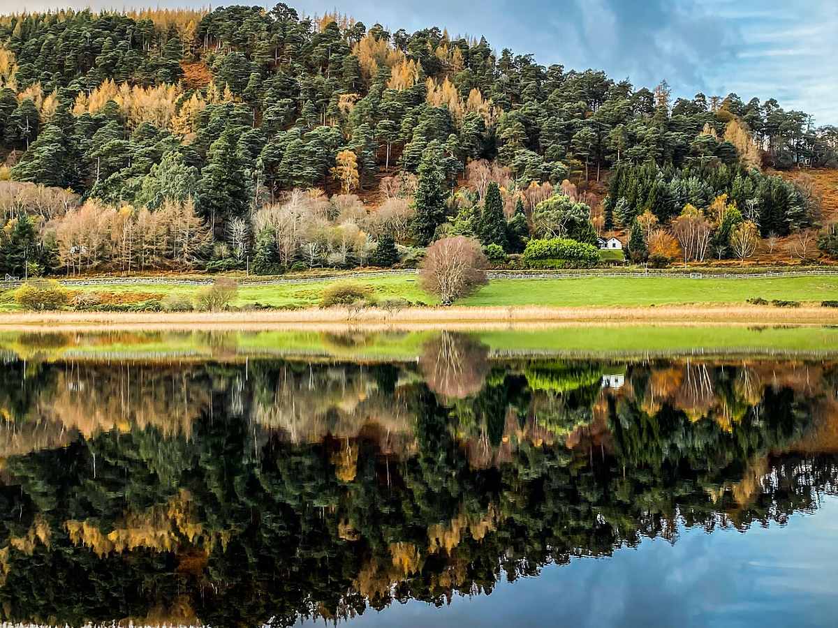
Look for the transition between buildings, woodland and water rather than expecting one continuously open lake view.
Choose your own turnaround only on permitted paths, keeping enough time for the return to your transport.
The story behind the visit
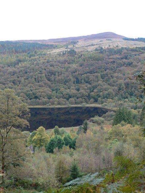
A lake walk is often most enjoyable when it has a simple purpose. You might use the first section to leave the busiest monuments behind, then stop at a view and decide whether to continue. That makes this a useful middle ground between a brief coach stop and a dedicated hiking day. Resist adding every available spur simply because it appears nearby on a map. Source ↗
The return is part of the visit. If your car is near the monastery or your bus uses the village, walking farther towards the Upper Lake also commits you to getting back. Keep a margin for slower companions, photographs and changes in footing. This is a route-selection guide, not a guarantee that a particular path will suit every wheelchair, buggy or walking aid. Source ↗
Dated visitor information
Begin from your chosen official valley access point and follow the signed route. Keep the Lower Lake reference pin as orientation, not turn-by-turn navigation. Official visitor information ↗
Source information checked 19 October 2026; confirm current access and visitor arrangements with the operator.
No. The valley route and the strenuous Spinc hillwalk have different demands. Source ↗
Use the official map to choose a permitted connection and allow for the complete return journey. Source ↗
No. Check current surfaces, gradients and the specific needs of your group with staff. Source ↗
Nearby options
Distances are straight-line estimates between catalogue pins, within 30 km. Roads, entrances and walking routes may be much longer. Known closed places are excluded; inclusion does not confirm opening today.
attraction · 0.6 km
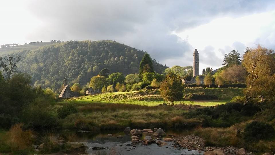
The Monastic City brings the round tower, churches and graveyard into one concentrated heritage visit. Slow down at ground level: the relationship between the buildings is more interesting than collecting the…
Open place page →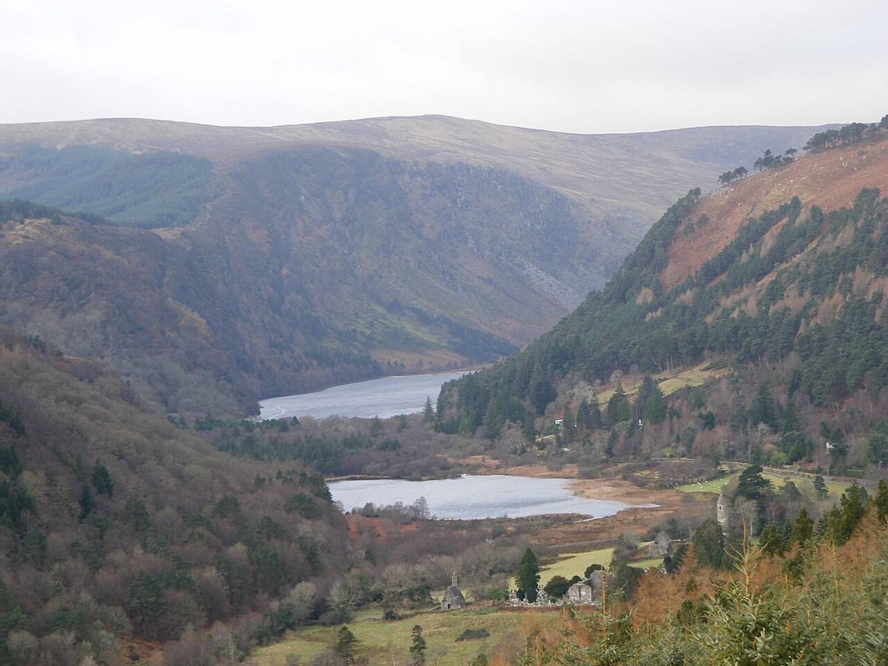
attraction · 0.6 km
The Upper Lake is a place to stop and look, not merely the starting gate for a hike. The long view into the valley gives a first visit a strong landscape focus without requiring a climb onto the Spinc.
Open place page →attraction · 0.6 km
The blue Spinc Short Route is a hillwalk with a strong view of the Upper Lake. “Short” distinguishes it from longer Spinc routes; it does not turn the outing into an easy lakeside stroll.
Open place page →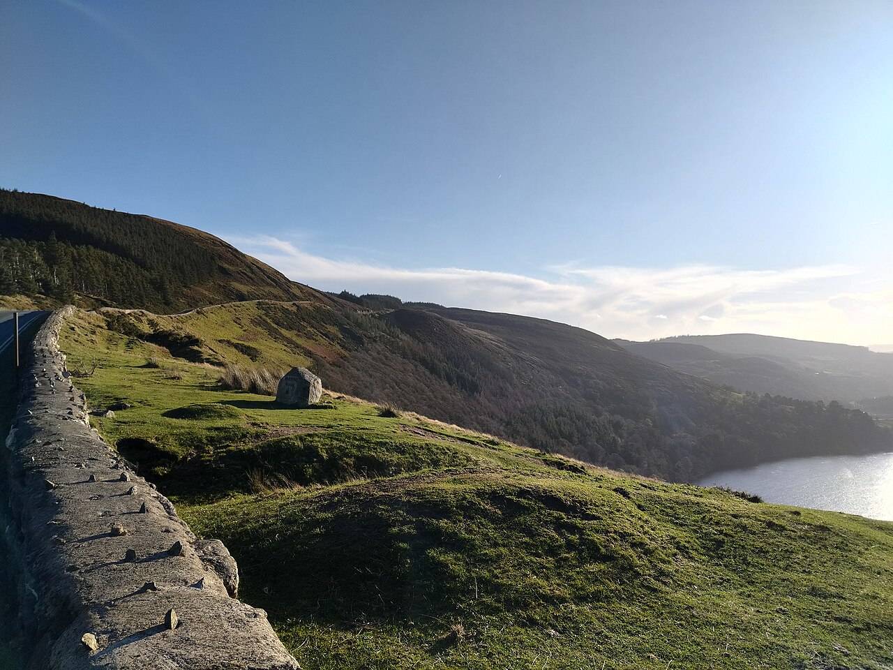
nature · 0.6 km
Wicklow Mountains National Park is a broad upland landscape with many possible entrances and walks. A regional pin is an orientation aid, not a trailhead.
Open place page →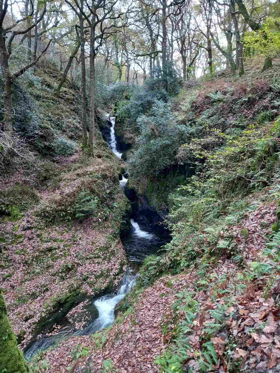
attraction · 0.7 km
Poulanass offers moving water and woodland close to the Upper Lake visitor area. It is a shorter walking choice, but the climb and wet footing make it different from a flat lakeside pause.
Open place page →attraction · 0.9 km
Start here if you want context for the monuments, an indoor introduction or advice before choosing a walk. The staffed visitor centre is a different visit from the freely accessible ruins and lakes.
Open place page →Public walker accounts for the wider lake area praise the views but sometimes describe much steeper routes than the Green Road. The lesson is to match the route name before borrowing someone else’s description. Choose the signed low-level route in this guide rather than assume every ‘lake loop’ review describes the same outing.
Original paraphrases of public visitor accounts. These are limited perspectives, not a representative survey or a claim of our own visit. Use current operator information for access and opening.
Location & access
Suggested visit allowance: about 65 minutes. Allow additional time for transfers and breaks.
53.01070, -6.33620 · Reference point; confirm the correct entrance and access. Map © OpenStreetMap contributors.
Source-based place brief. A catalogue reference is not a live availability check or a report of a personal visit.
Visitor details checked 19 October 2026. Page content updated 2026-10-20.