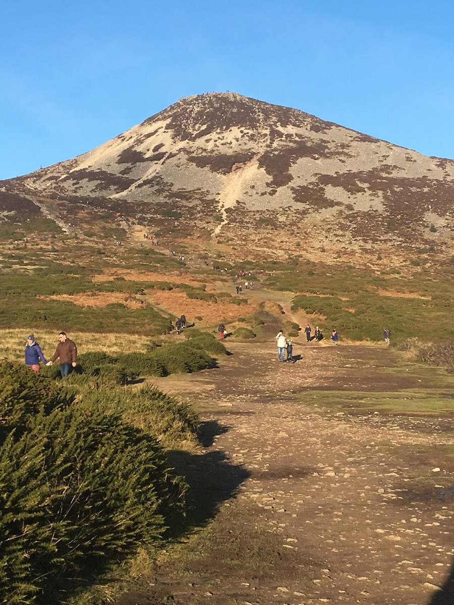
The isolated cone
The mountain’s shape stands apart from the surrounding uplands and is part of the appeal before you reach the top.
nature · Wicklow
A distinctive rocky summit above Kilmacanogue, requiring a hill-walking plan rather than a quick viewpoint stop.
Source-based editorial assessment · out of 10
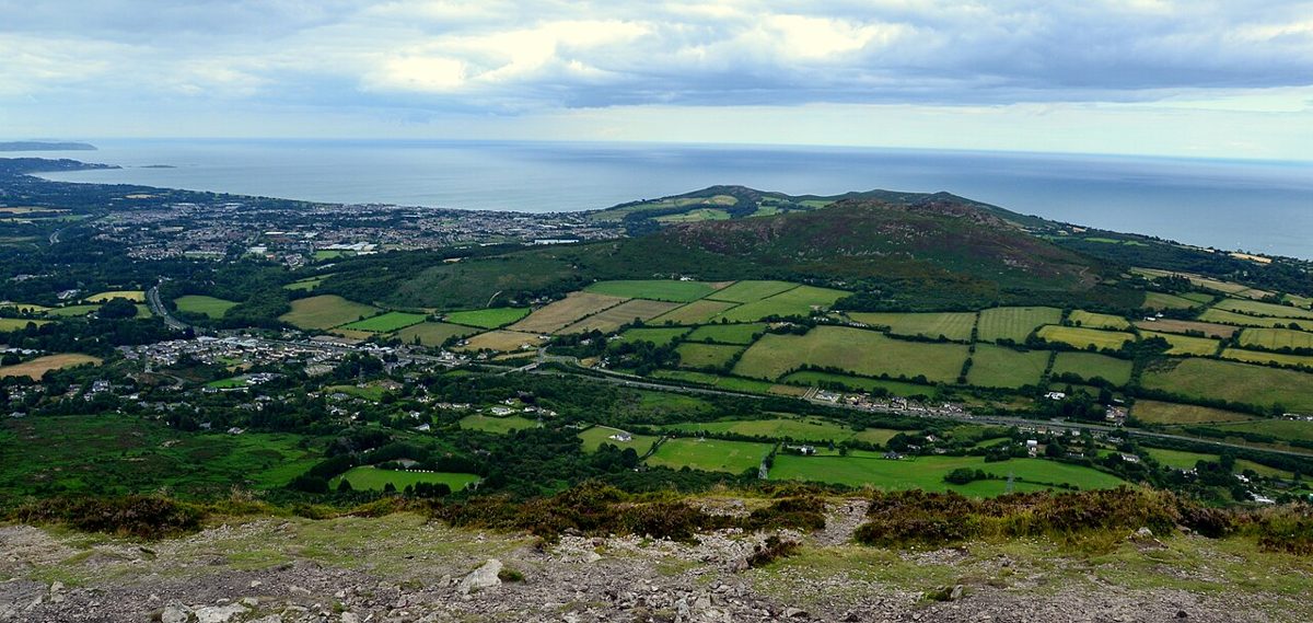
The isolated summit rewards the climb with a broad Wicklow and coastal outlook, and the rocky upper section gives the outing a stronger mountain character than its length suggests.
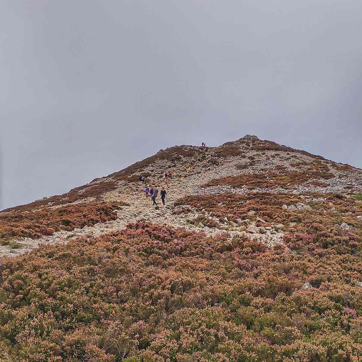
A short route still involves a steep rocky finish and exposure. Plan the trailhead journey, footwear and weather carefully; avoid treating a summit pin as an easy viewpoint stop.
Best for: Confident walkers seeking a summit
Planning blend: 6.0 / 10 · Sustainability: unrated
Experience considers the reward and depth of this particular stop. Visitor friendliness considers practical ease: arrival, booking, physical demands, cost and flexibility. These are editorial judgements based on linked information, not visitor averages or a claim of a personal visit.
Assessed . Supporting guide source-check date: 2026-08-30. The assessment date does not mean every linked source was newly checked.
The blend uses (40 × Experience + 55 × Visitor friendliness) ÷ 95, rounded to the nearest half point. Missing sustainability does not affect it. A missing current visit score is not zero and has no blend.
A high score is not a safety clearance or a guarantee of step-free access. Food-stop scores concern the planned visit, not an untested meal. Read the scale and scope · Suggest a correction.
From research
Choose it when the climb itself is the activity you want. Allow for the descent, weather and the journey to the start, and keep a lower-level alternative for anyone who would rather avoid the rocky finish. A short-looking route can still demand care.
Before you go: The official tourism description grades the loop strenuous and warns about the steep upper section. Different starts produce different outings.
Place highlights
The mountain’s shape stands apart from the surrounding uplands and is part of the appeal before you reach the top.
Treat the final climb and descent as the demanding part of the day, not as a casual extension of a path.
The story behind the visit
The mountain has a clear visual identity, which can make the outing look simpler than it is. Visit Wicklow describes a strenuous loop with mountain-track terrain and a steep upper section. Decide whether you want that full route or a different officially described approach before setting off; the length of one option should not be applied to another. Source ↗
Plan backwards from your return: a comfortable descent, enough daylight, a food and water break, and the onward journey. If the summit is in cloud or the ground feels beyond the group’s comfort, turning back still leaves a purposeful hill day. Leave time to enjoy the wider Wicklow landscape without making reaching the top a condition of success. Source ↗
Dated visitor information
Arrange travel to the selected trailhead rather than routing to the summit coordinates. Check parking signs at the start and your complete return connection if using public transport. Official visitor information ↗
Source information checked 19 October 2026; confirm current access and visitor arrangements with the operator.
No. The published route is a mountain track with a steep upper section. Source ↗
No. Choose a named route and starting point before using its distance or grade. Source ↗
Allow a dedicated hill-walking slot and a weather margin rather than planning it as a passing viewpoint. Source ↗
Nearby options
Distances are straight-line estimates between catalogue pins, within 30 km. Roads, entrances and walking routes may be much longer. Known closed places are excluded; inclusion does not confirm opening today.
nature · 4.0 km
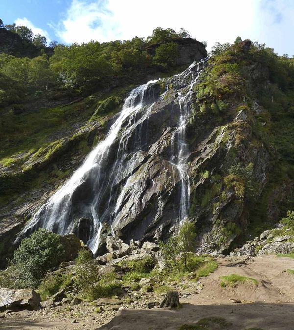
A wooded waterfall outing with picnic space, separate from the formal gardens at Powerscourt.
Open place page →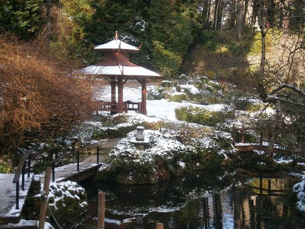
heritage · 4.8 km
Italian terraces, a Japanese garden and wooded corners make Powerscourt a garden visit with a mountain backdrop.
Open place page →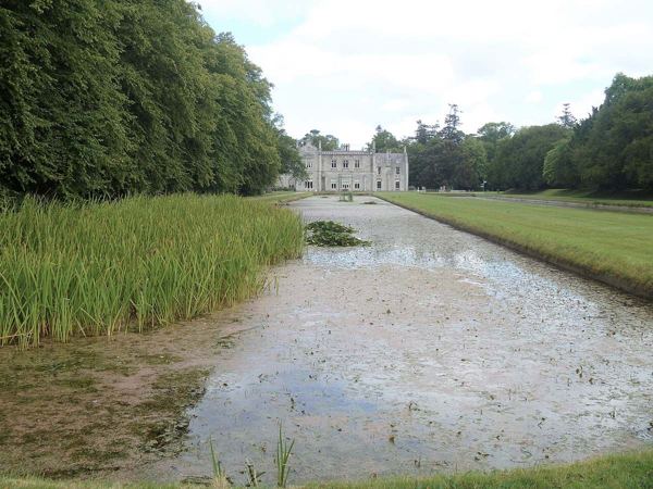
heritage · 5.3 km
Formal gardens, long ponds and a working estate on Bray’s edge, with house tours booked separately.
Open place page →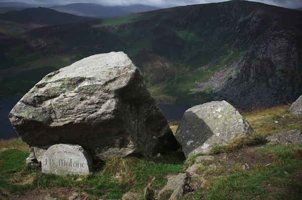
nature · 6.1 km
An exposed Wicklow mountain outing with a Wicklow Way approach and a summit that needs its own navigation plan.
Open place page →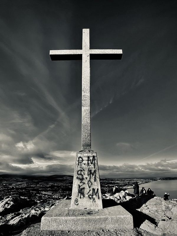
nature · 6.3 km
A hill walk from Bray’s seafront to the cross, with coastal views and a distinct route from the closed through Cliff Walk.
Open place page →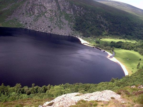
nature · 9.2 km
A mountain-road view over dark water, a pale shore and the Luggala landscape, with the lake itself on private land.
Open place page →A trail account describes deciding against the summit when it was busy, while another enjoyed adding it in good weather. That is sensible flexibility to bring to this hill: the summit is a choice, not an obligation. These accounts concern a wider Sugar Loaf route and should not be copied as the distance or conditions of your own ascent.
Original paraphrases of public visitor accounts. These are limited perspectives, not a representative survey or a claim of our own visit. Use current operator information for access and opening.
Location & access
The official tourism description grades the loop strenuous and warns about the steep upper section. Different starts produce different outings.
53.14600, -6.15100 · Reference point; confirm the correct entrance and access. Map © OpenStreetMap contributors.
Source-based place brief. A catalogue reference is not a live availability check or a report of a personal visit.
Visitor details checked 19 October 2026. Page content updated 2026-10-20.