Follow the river landscape
Notice the change from the coast to the Anne River’s inland habitats.
attraction · County Waterford
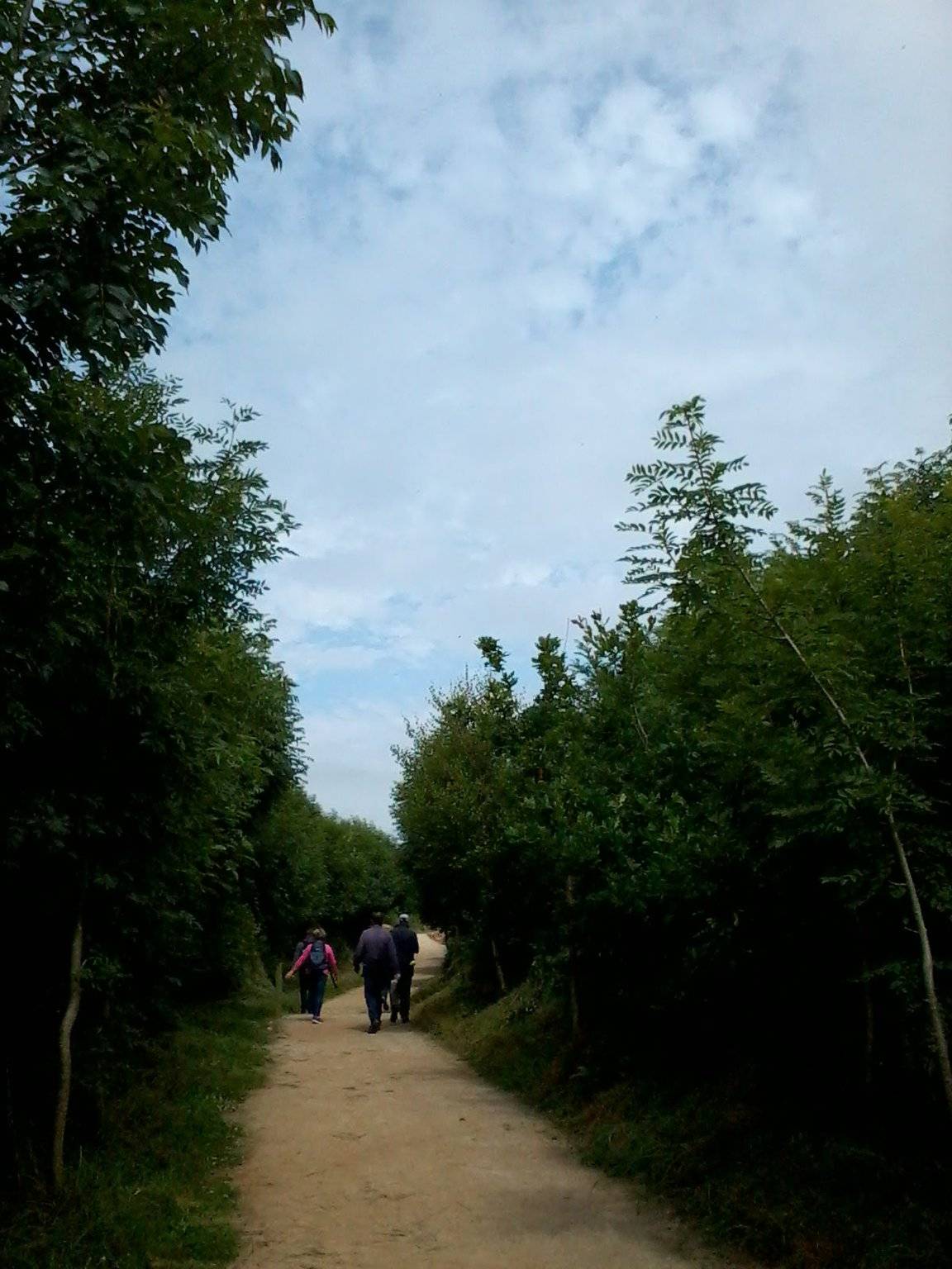
The Annestown end of the Ann Valley walk changes the Copper Coast day from exposed shoreline to a river corridor with woodland and wetland.
Source-based editorial assessment · out of 10
Choose a valley walk when you want time on foot rather than another roadside pause. This pin marks an end of a route, not a complete loop or a guaranteed short stroll.
The official map describes a 5 km linear connection. Walking back adds distance; do not interpret the stated length as a loop. Check current trail notices, surfaces and weather before committing.
Best for: follow the river landscape
Planning blend: 7.0 / 10 · Sustainability: unrated
Experience considers the reward and depth of this particular stop. Visitor friendliness considers practical ease: arrival, booking, physical demands, cost and flexibility. These are editorial judgements based on linked information, not visitor averages or a claim of a personal visit.
Assessed . Supporting guide source-check date: 2026-10-19. The assessment date does not mean every linked source was newly checked.
The blend uses (40 × Experience + 55 × Visitor friendliness) ÷ 95, rounded to the nearest half point. Missing sustainability does not affect it. A missing current visit score is not zero and has no blend.
A high score is not a safety clearance or a guarantee of step-free access. Food-stop scores concern the planned visit, not an untested meal. Read the scale and scope · Suggest a correction.
From research
Choose a valley walk when you want time on foot rather than another roadside pause. This pin marks an end of a route, not a complete loop or a guaranteed short stroll.
Before you go: The official map describes a 5 km linear connection.
Place highlights
Notice the change from the coast to the Anne River’s inland habitats.
Choose an out-and-back section that leaves enough daylight and energy for the return.
The story behind the visit
The geopark map connects Annestown and Dunhill through the valley. This inland corridor shows a different landscape within a coastal itinerary, with water and vegetation replacing open-sea views. Source ↗
Dated visitor information
Find the signed trail entrance at the Annestown end. Arrange a return from Dunhill or plan an out-and-back; a map pin does not establish a bus connection. Official visitor information ↗
Source information checked 19 October 2026; confirm current access and visitor arrangements with the operator.
No. It is a linear connection; allow additional distance to return unless you have arranged transport. Source ↗
Nearby options
Distances are straight-line estimates between catalogue pins, within 30 km. Roads, entrances and walking routes may be much longer. Known closed places are excluded; inclusion does not confirm opening today.
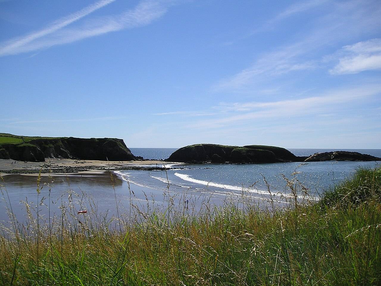
coast · 0.5 km
Annestown brings a small village, a river mouth and a beach into the same view. It works as a quiet shoreline pause or as the coastal end of a separately planned valley walk.
Open place page →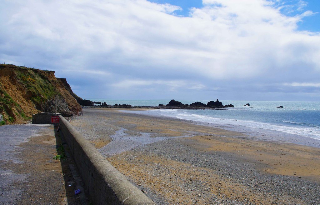
coast · 2.9 km
Kilfarrasy is a compact coastal geology stop where the rock, shingle and enclosing shoreline matter more than a list of facilities.
Open place page →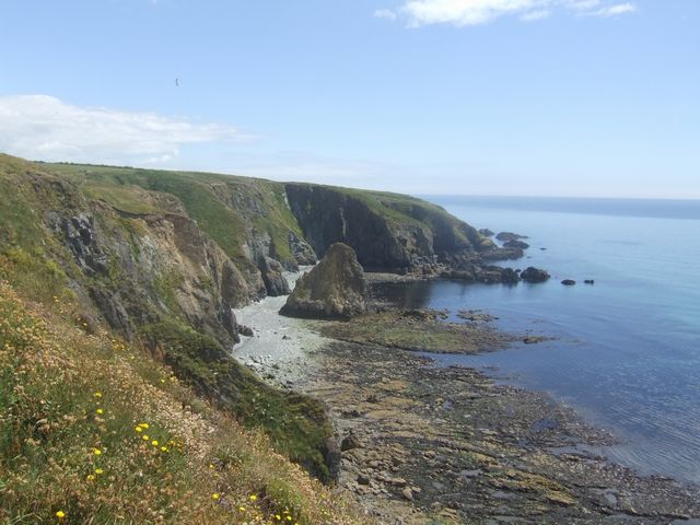
coast · 3.3 km
Kilmurrin is a small cove framed by headlands, useful when you want to stop, look and linger without turning the whole day into a long walk.
Open place page →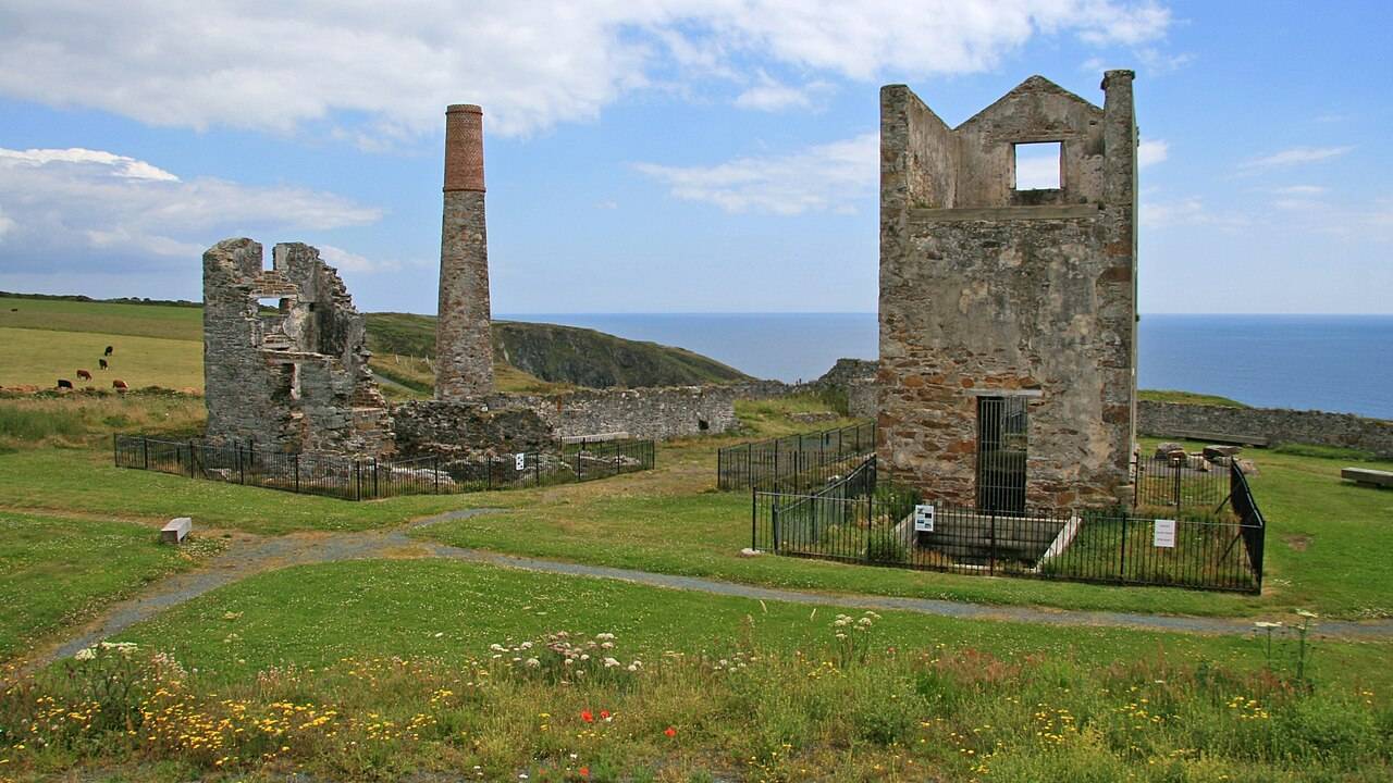
heritage · 4.9 km
Tankardstown gives the Copper Coast its clearest industrial stop: the surviving engine-house structures make the mining story tangible above ground.
Open place page →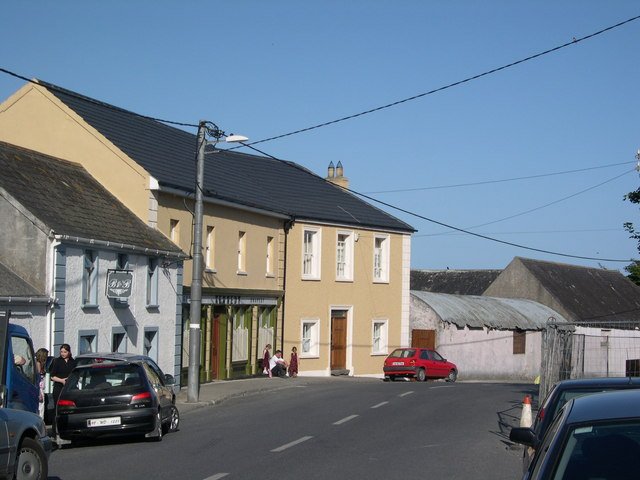
attraction · 6.3 km
Bunmahon Geological Garden is a compact outdoor introduction to the Copper Coast’s deep history, using a time path and rock interpretation rather than a long coastal walk.
Open place page →
attraction · 6.4 km
The Copper Coast Geopark Visitor Centre in Bunmahon is the indoor context stop for a route otherwise dominated by exposed beaches, rock and mining remains.
Open place page →Visible visitor excerpts value the ponds and woodland habitats, while another describes wind-driven rain coming up from Annestown. The contrast is useful: a valley walk can still be very exposed to bad weather.
Original paraphrases of public visitor accounts. These are limited perspectives, not a representative survey or a claim of our own visit. Use current operator information for access and opening.
Location & access
Suggested visit allowance: about 150 minutes. Allow additional time for transfers and breaks.
52.14320, -7.27110 · Reference point; confirm the correct entrance and access. Map © OpenStreetMap contributors.
Source-based place brief. A catalogue reference is not a live availability check or a report of a personal visit.
Visitor details checked 19 October 2026. Page content updated 2026-10-19.