Follow geological time
Use the Time Path to put very different stages of Earth’s history into order.
attraction · County Waterford
Bunmahon Geological Garden is a compact outdoor introduction to the Copper Coast’s deep history, using a time path and rock interpretation rather than a long coastal walk.
Source-based editorial assessment · out of 10
It is a useful first stop for a curious visitor who wants a framework for the beaches and mines. Combine it with one or two actual geosites so the interpretation has a landscape to attach to.
The geopark describes parking and straightforward access on foot. That is not a confirmed specification for every wheelchair or mobility aid; ask about the route surface and any assistance you need.
Best for: follow geological time
Planning blend: 7.5 / 10 · Sustainability: unrated
Experience considers the reward and depth of this particular stop. Visitor friendliness considers practical ease: arrival, booking, physical demands, cost and flexibility. These are editorial judgements based on linked information, not visitor averages or a claim of a personal visit.
Assessed . Supporting guide source-check date: 2026-10-19. The assessment date does not mean every linked source was newly checked.
The blend uses (40 × Experience + 55 × Visitor friendliness) ÷ 95, rounded to the nearest half point. Missing sustainability does not affect it. A missing current visit score is not zero and has no blend.
A high score is not a safety clearance or a guarantee of step-free access. Food-stop scores concern the planned visit, not an untested meal. Read the scale and scope · Suggest a correction.
From research
It is a useful first stop for a curious visitor who wants a framework for the beaches and mines. Combine it with one or two actual geosites so the interpretation has a landscape to attach to.
Before you go: The geopark describes parking and straightforward access on foot.
Place highlights
Use the Time Path to put very different stages of Earth’s history into order.
Compare the garden’s interpretation with the rock and mining landscape you see later on the route.
The story behind the visit
The garden translates geological timescales into a small village stop. That change of scale helps explain why a coast associated with copper mining also carries a much older volcanic story. Source ↗
Dated visitor information
Locate the geological garden in Bunmahon village. It is a distinct stop from both the beach and the indoor visitor centre. Official visitor information ↗
Source information checked 19 October 2026; confirm current access and visitor arrangements with the operator.
They are separate places. Check any current access notice locally, and confirm the indoor centre’s hours independently. Source ↗
Nearby options
Distances are straight-line estimates between catalogue pins, within 30 km. Roads, entrances and walking routes may be much longer. Known closed places are excluded; inclusion does not confirm opening today.
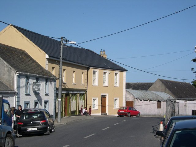
attraction · 0.3 km
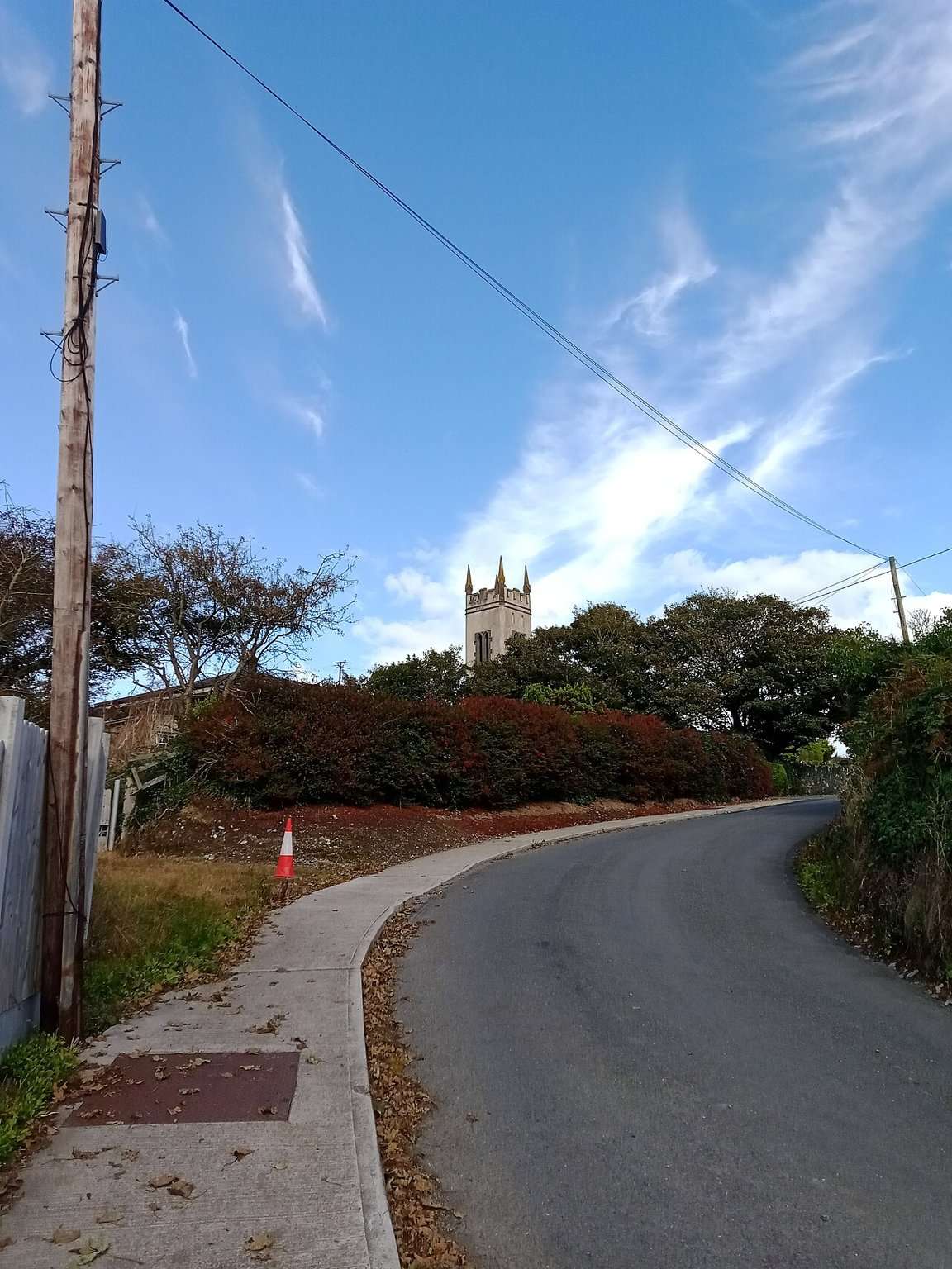
The Copper Coast Geopark Visitor Centre in Bunmahon is the indoor context stop for a route otherwise dominated by exposed beaches, rock and mining remains.
Open place page →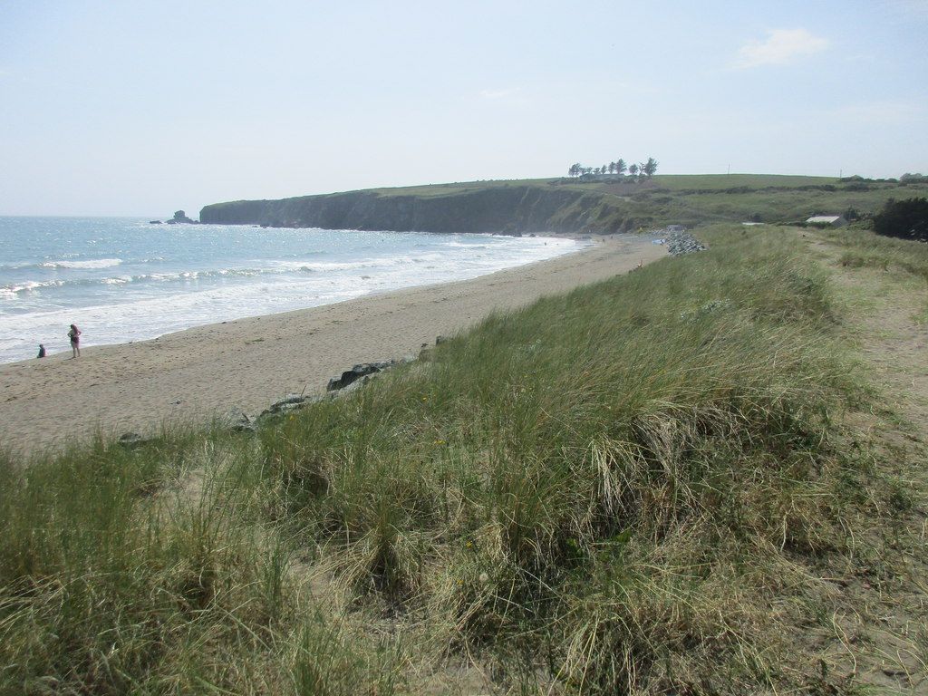
coast · 0.5 km
Bunmahon is the Copper Coast’s useful interpretation stop, combining a village beach setting with the geopark visitor centre and geological garden nearby.
Open place page →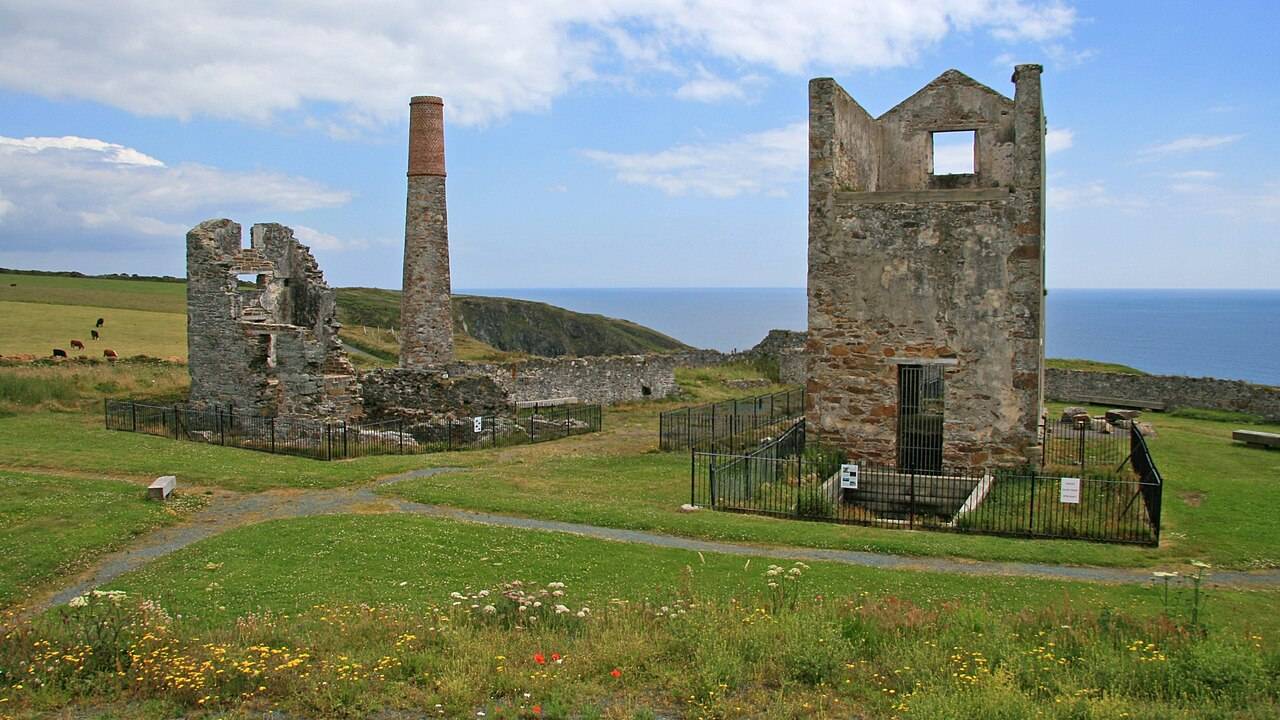
heritage · 1.3 km
Tankardstown gives the Copper Coast its clearest industrial stop: the surviving engine-house structures make the mining story tangible above ground.
Open place page →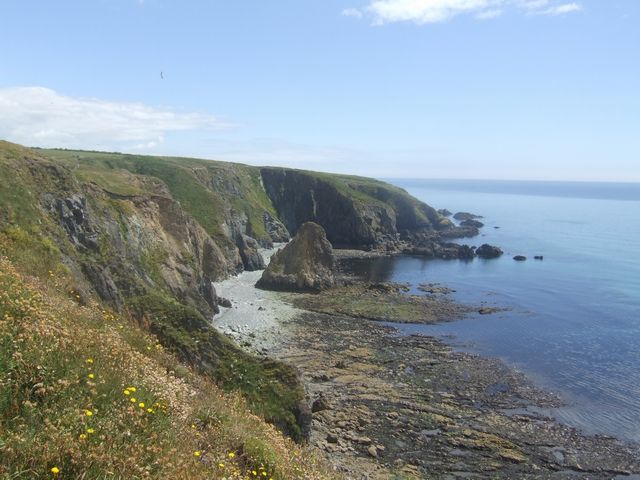
coast · 2.9 km
Kilmurrin is a small cove framed by headlands, useful when you want to stop, look and linger without turning the whole day into a long walk.
Open place page →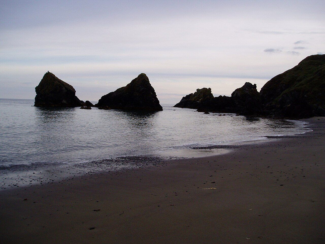
attraction · 3.0 km
Ballydowane is a quieter Copper Coast beach stop, best approached as a chance to observe the cove and its geology within the shore that is actually accessible.
Open place page →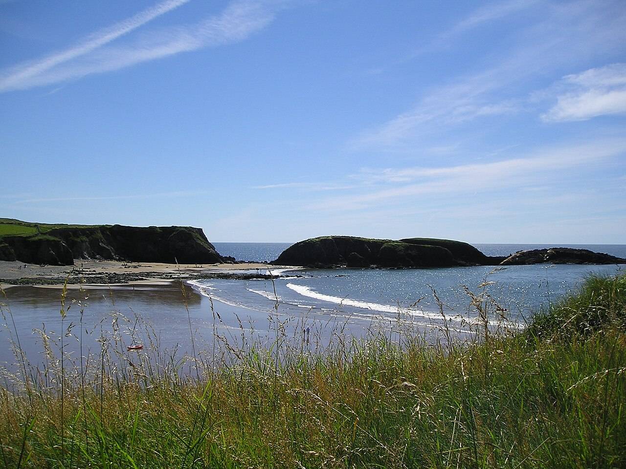
coast · 6.2 km
Annestown brings a small village, a river mouth and a beach into the same view. It works as a quiet shoreline pause or as the coastal end of a separately planned valley walk.
Open place page →A detailed 2014 nature account finds the labelled rocks useful for comparing what can be seen on nearby beaches, particularly their colour and texture. It supports stopping to read the displays, while being too old to verify their present condition.
Original paraphrases of public visitor accounts. These are limited perspectives, not a representative survey or a claim of our own visit. Use current operator information for access and opening.
Location & access
Mapped features are reference points, not verified entrances. Confirm current access, opening, availability and charges locally.
52.14032, -7.36261 · Reference point; confirm the correct entrance and access. Map © OpenStreetMap contributors.
Source-based place brief. A catalogue reference is not a live availability check or a report of a personal visit.
Visitor details checked 19 October 2026. Page content updated 2026-10-19.