Study the engine houses
Read the surviving structures as parts of a working mining system rather than isolated ruins.
Ireland / Copper Coast / Place
The clearest visible link between the copper story and landscape.
Local map loading. The mapped place point is also linked below.
Mining heritage
Keep to permitted public areas; mine workings are hazardous.
Suggested visit: 30–45 min. This is an editorial estimate; allow for conditions and your own pace.
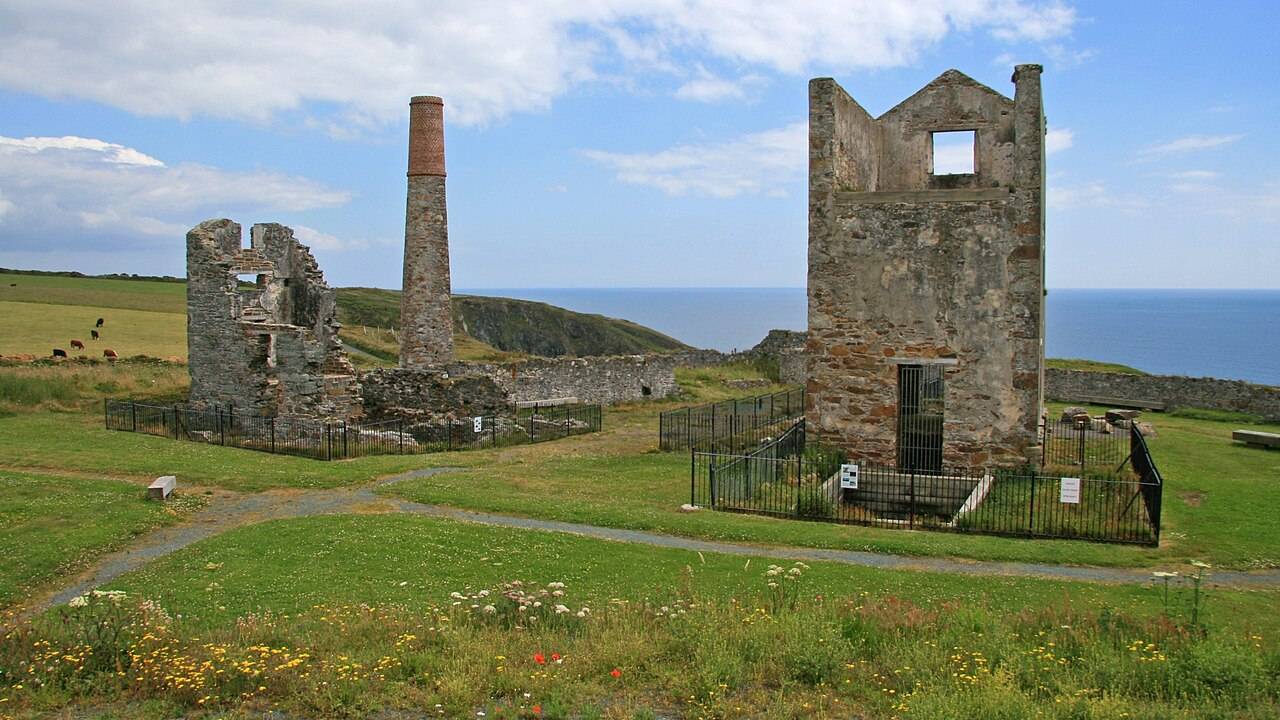
Tankardstown makes the mining history tangible without asking visitors to enter a mine. The Geopark identifies the 19th-century engine-house remains on the north side of the road as an interpreted heritage site. The buildings were conserved with help from the Mining Heritage Trust of Ireland. Here the coast’s copper name is tied to a particular place, structure and former industry, rather than to a general image of cliffs. Spend a few minutes with the on-site interpretation before trying to imagine what the machinery and workers had to do. Geopark: Tankardstown ↗
The Geopark says the mineral veins cut through much older Ordovician volcanic rocks. It distinguishes primary copper ores from secondary minerals formed through weathering, some of which developed after mining ceased. That distinction matters: the age of the host rock, the formation of the ore and the visible remains of 19th-century working are three different chapters, not one event. The site is nationally important for its mineral diversity. You do not need to collect specimens to understand this; read the interpretation and look at the structure against its landscape. Leave rock and heritage features in place. Geopark mineral and heritage notes ↗
The engine house is publicly accessible, and the Geopark lists parking and interpretation signs. The underground mine workings are a different matter: they are inaccessible without specialist equipment or permission. Do not treat a visible opening, wall or path as an invitation to explore underground. This guide’s 30–45 minute estimate is for the public heritage stop, not mine access. Check current signs and conditions, and use the mapped place point as orientation rather than a precise car park entrance. The preserved structure and its setting already give enough material for a meaningful visit. Geopark access notice ↗
The Copper Coast film’s mining chapter at 4:04 ↗ provides thematic context, not a frame-by-frame identification of Tankardstown footage. The field guide links this stop to the route and practical source notes. Follow the road to Bunmahon next if you want to continue that story at the Geopark visitor centre. Its exhibition and café can make a natural break after this outdoor stop; check opening before depending on either.
Use the interpretation panels to connect the buildings with the mining history, then compare that account with the Geopark's distinction between ancient host rock and later mineral veins. Keep the questions simple: what was mined, what remains visible and how did the industry shape the neighbouring village?
Bunmahon is the next heritage companion in the sequence. If the visitor centre is open, the outdoor remains and exhibition can be considered together. If it is closed, read the linked history before travelling and give the panels here more time. No driving time between the two is verified by this guide. The underground workings are excluded from the visit; stay in permitted public areas.
Source information checked 2026-09-24. Conditions and availability may change; confirm before travelling.
Source-based editorial assessment · out of 10
Make this a priority if you want the coast to be more than a series of beach photographs. The visible remains and interpretation reward a deliberate stop, with no need to enter mine workings.
The operator identifies publicly accessible engine-house remains, parking and interpretation. Mine workings are inaccessible without special permission. Stay outside restricted structures and do not seek shafts or underground entrances.
Best for: study the engine houses
Planning blend: 7.5 / 10 · Sustainability: unrated
Experience considers the reward and depth of this particular stop. Visitor friendliness considers practical ease: arrival, booking, physical demands, cost and flexibility. These are editorial judgements based on linked information, not visitor averages or a claim of a personal visit.
Assessed . Supporting guide source-check date: 2026-10-19. The assessment date does not mean every linked source was newly checked.
The blend uses (40 × Experience + 55 × Visitor friendliness) ÷ 95, rounded to the nearest half point. Missing sustainability does not affect it. A missing current visit score is not zero and has no blend.
A high score is not a safety clearance or a guarantee of step-free access. Food-stop scores concern the planned visit, not an untested meal. Read the scale and scope · Suggest a correction.
From research
Make this a priority if you want the coast to be more than a series of beach photographs. The visible remains and interpretation reward a deliberate stop, with no need to enter mine workings.
Before you go: The operator identifies publicly accessible engine-house remains, parking and interpretation.
Place highlights
Read the surviving structures as parts of a working mining system rather than isolated ruins.
Use the interpretation to understand why this shoreline developed around copper extraction.
The story behind the visit
Nineteenth-century copper mining left the engine houses that define Tankardstown’s silhouette. They sit within a much older volcanic geological landscape, bringing two very different timescales together. Source ↗
Dated visitor information
Use the signed heritage stop and designated parking. Ground around industrial remains can be uneven; the public exterior is the scope of this visit. Official visitor information ↗
Source information checked 19 October 2026; confirm current access and visitor arrangements with the operator.
No ordinary underground visit is established here. The public stop is the surface heritage site and its interpretation. Source ↗
Nearby options
Distances are straight-line estimates between catalogue pins, within 30 km. Roads, entrances and walking routes may be much longer. Known closed places are excluded; inclusion does not confirm opening today.
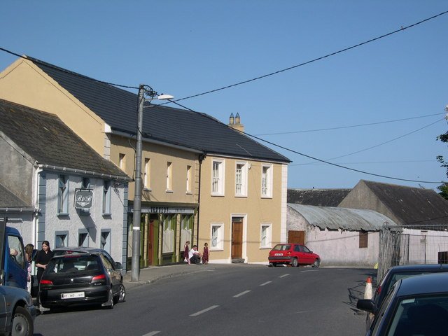
attraction · 1.3 km
Bunmahon Geological Garden is a compact outdoor introduction to the Copper Coast’s deep history, using a time path and rock interpretation rather than a long coastal walk.
Open place page →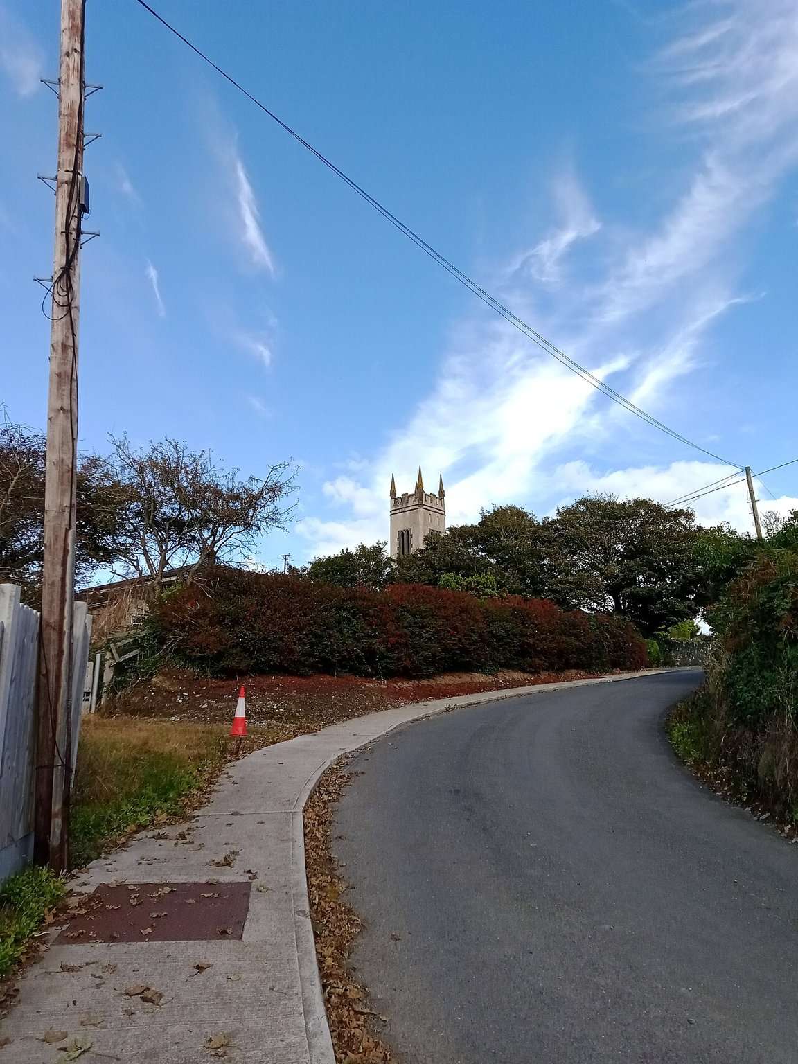
attraction · 1.5 km
The Copper Coast Geopark Visitor Centre in Bunmahon is the indoor context stop for a route otherwise dominated by exposed beaches, rock and mining remains.
Open place page →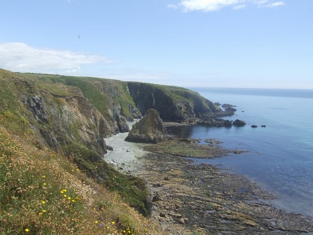
coast · 1.6 km
Kilmurrin is a small cove framed by headlands, useful when you want to stop, look and linger without turning the whole day into a long walk.
Open place page →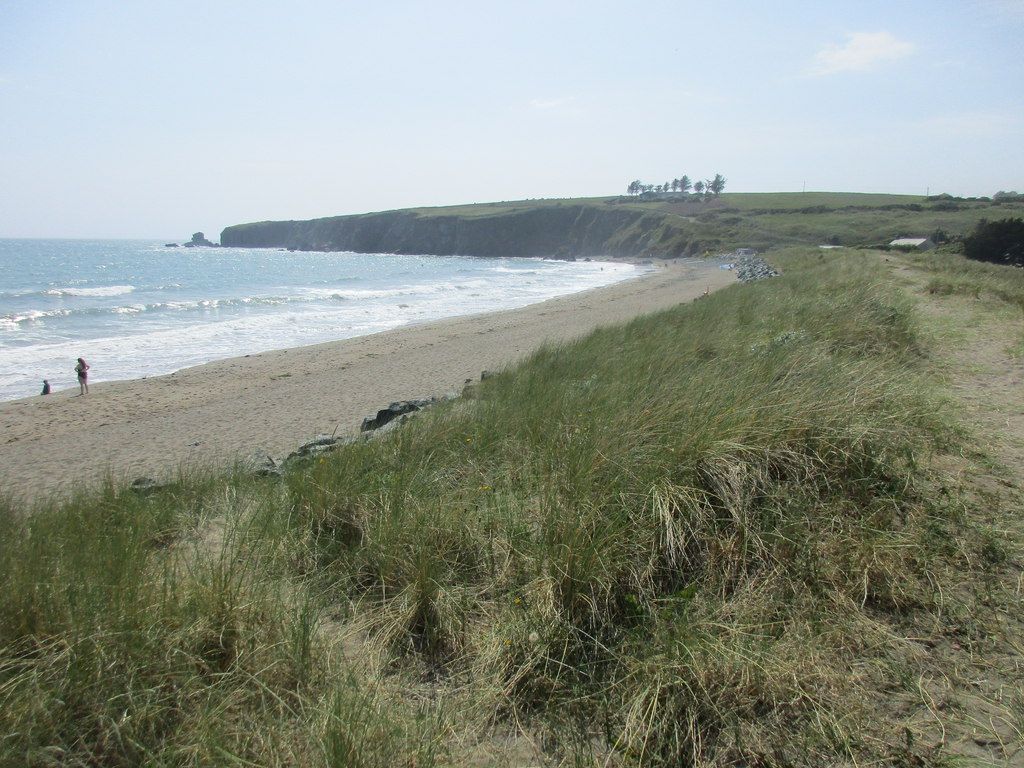
coast · 1.8 km
Bunmahon is the Copper Coast’s useful interpretation stop, combining a village beach setting with the geopark visitor centre and geological garden nearby.
Open place page →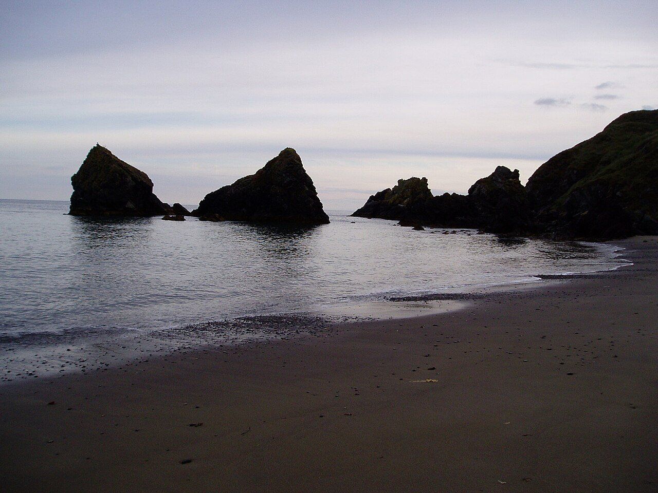
attraction · 4.2 km
Ballydowane is a quieter Copper Coast beach stop, best approached as a chance to observe the cove and its geology within the shore that is actually accessible.
Open place page →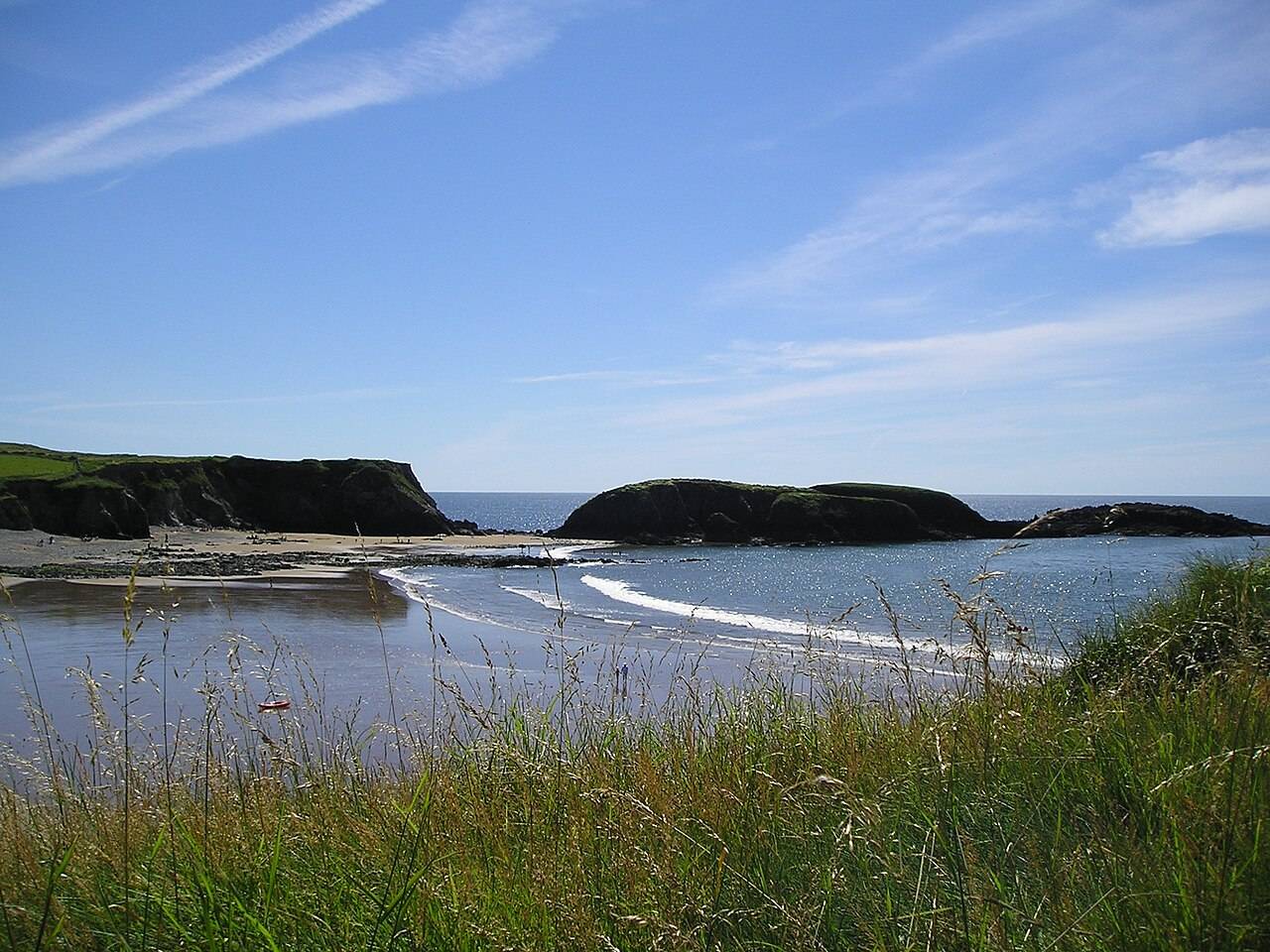
coast · 4.9 km
Annestown brings a small village, a river mouth and a beach into the same view. It works as a quiet shoreline pause or as the coastal end of a separately planned valley walk.
Open place page →A visible visitor account describes unexpectedly encountering the mine remains on a Copper Coast drive. It supports the appeal of the above-ground ruins as a stop, not access to underground workings.
Original paraphrases of public visitor accounts. These are limited perspectives, not a representative survey or a claim of our own visit. Use current operator information for access and opening.