Take in the cove
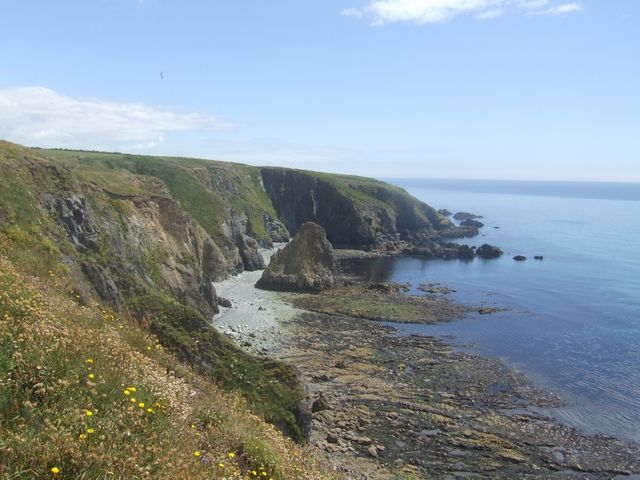
Use the public approach to see how the beach sits between the surrounding slopes.
Ireland / Copper Coast / Place
A sheltered cove with coastal erosion features between Annestown and Tankardstown.
Local map loading. The mapped place point is also linked below.
Geosite / cove
The Geopark lists parking, but the mapped cove point is not a verified entrance. Check tide and conditions before visiting.
Suggested visit: 20–40 min. This is an editorial estimate; allow for conditions and your own pace.
Kilmurrin is an optional pause in the Copper Coast sequence, between the Annestown beach stop and the mining story at Tankardstown. Its value is a closer look at the shape of a cove: land curves around the water, with cliff edges framing the shore. If your day already includes several beach stops, decide what you want to notice here rather than adding another pin simply to complete a list. A short observation stop can be worthwhile without a swim, a long walk or a search for a particular photograph. The Geopark identifies Kilmurrin as a geosite, and Discover Ireland provides a separate beach description. Discover Ireland: Kilmurrin Beach ↗
The Geopark’s technical description explains a blowhole on the eastern side of the cove: sea erosion extended a cave inland, and collapse opened a depression at the surface. That is an explanation of a landscape feature, not an access instruction. No permitted path to that feature has been verified in this guide. Do not interpret the geosite description or the map point as an invitation to approach a cliff edge, enter a cave or walk onto adjoining fields. Read the geological account before arriving, then look only from public areas where access is permitted and conditions are suitable. Geopark: geological interest and access ↗
The Geopark lists parking at Kilmurrin Cove, but it does not reserve a space or establish the entrance represented by this page’s cove pin. Use current directions to reach the area, read the signs and choose a lawful place to park. If you cannot establish permitted access, move on rather than making an improvised stop. Confirm facilities separately: this page does not verify toilets, refreshments, accessible beach entry or current parking charges. For a group that depends on any of those facilities, settle that requirement before selecting Kilmurrin as a planned break. A map listing is useful orientation, not a live facilities report.
Set a simple intention before leaving the car: perhaps a look at the cove from permitted access, or a brief beach visit if conditions allow. Keep the return point in mind, and reassess the shore when you arrive. Check current tide and weather information; this guide does not identify a safe tidal window or certify the beach for swimming. If the visit would require reaching an exposed feature or crossing water to get the view you wanted, change the plan. The optional stop can be removed from your trip without losing the route’s geology and mining themes.
Use Annestown’s place page if that is already your chosen beach pause, and Tankardstown’s page if your priority is the former engine house and mining context. Kilmurrin adds another coastal setting; it does not replace the practical checks for either neighbour. For a shorter itinerary, choose the beach stop that best matches your interests and retain Tankardstown only if its heritage focus appeals to you. There is no requirement to include every stop. Driving times remain unknown, so compare choices using current directions rather than assuming that adjacent entries mean an effortless transfer.
After reading the sources, use Save place to keep Kilmurrin in this browser or select it as the optional addition on the Copper Coast Drive. Before exporting a guide, check that the selected stops still match the day you want. The photograph gives a visual reference, and the local map helps you identify the area, but neither records today’s conditions. The suggested visit duration above is an editorial allowance, not a measured completion time. If you later report a changed entrance or facility, include the date and the relevant sign or provider notice so the practical record can be reviewed.
Source information checked 2026-09-29. Conditions and availability may change; confirm before travelling.
The Marine Institute tide predictions ↗ provide a dated source for planning. Select a relevant station and date there; a station forecast is not a reading for this exact beach or cove. Wind and atmospheric pressure can change actual water levels, so check current conditions and local access before descending to the shore.
Source-based editorial assessment · out of 10
The reward is the enclosed coastal view. It suits a short shore-based pause; anyone needing a fully serviced beach should confirm facilities before choosing it.
Check parking signs, tides and local beach notices on arrival. Sheltered appearance does not establish safe swimming conditions; this is a recommendation for a shore visit.
Best for: take in the cove
Planning blend: 7.0 / 10 · Sustainability: unrated
Experience considers the reward and depth of this particular stop. Visitor friendliness considers practical ease: arrival, booking, physical demands, cost and flexibility. These are editorial judgements based on linked information, not visitor averages or a claim of a personal visit.
Assessed . Supporting guide source-check date: 2026-10-19. The assessment date does not mean every linked source was newly checked.
The blend uses (40 × Experience + 55 × Visitor friendliness) ÷ 95, rounded to the nearest half point. Missing sustainability does not affect it. A missing current visit score is not zero and has no blend.
A high score is not a safety clearance or a guarantee of step-free access. Food-stop scores concern the planned visit, not an untested meal. Read the scale and scope · Suggest a correction.
From research
The reward is the enclosed coastal view. It suits a short shore-based pause; anyone needing a fully serviced beach should confirm facilities before choosing it.
Before you go: Check parking signs, tides and local beach notices on arrival.
Place highlights
Use the public approach to see how the beach sits between the surrounding slopes.
A clear view and a brief pause can be enough; there is no need to force a longer exposed outing.
The story behind the visit
Kilmurrin belongs to the sequence of coves that gives the Copper Coast its rhythm. Comparing it with the more open strand at Tramore makes the coast’s changing scale easier to appreciate. Source ↗
Dated visitor information
Approach by the coastal road and use the designated parking area without obstructing access. Sand and changes of level can limit access beyond the arrival area. Official visitor information ↗
Source information checked 19 October 2026; confirm current access and visitor arrangements with the operator.
No. Decide about entering the water using current local advice, flags and conditions, independently of this guide. Source ↗
Nearby options
Distances are straight-line estimates between catalogue pins, within 30 km. Roads, entrances and walking routes may be much longer. Known closed places are excluded; inclusion does not confirm opening today.
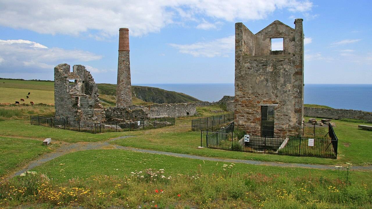
heritage · 1.6 km
Tankardstown gives the Copper Coast its clearest industrial stop: the surviving engine-house structures make the mining story tangible above ground.
Open place page →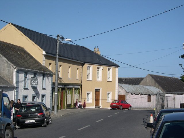
attraction · 2.9 km
Bunmahon Geological Garden is a compact outdoor introduction to the Copper Coast’s deep history, using a time path and rock interpretation rather than a long coastal walk.
Open place page →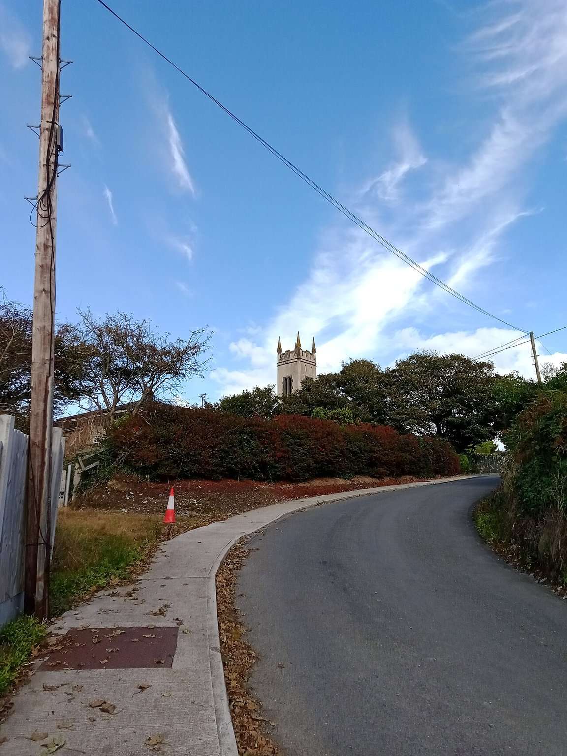
attraction · 3.1 km
The Copper Coast Geopark Visitor Centre in Bunmahon is the indoor context stop for a route otherwise dominated by exposed beaches, rock and mining remains.
Open place page →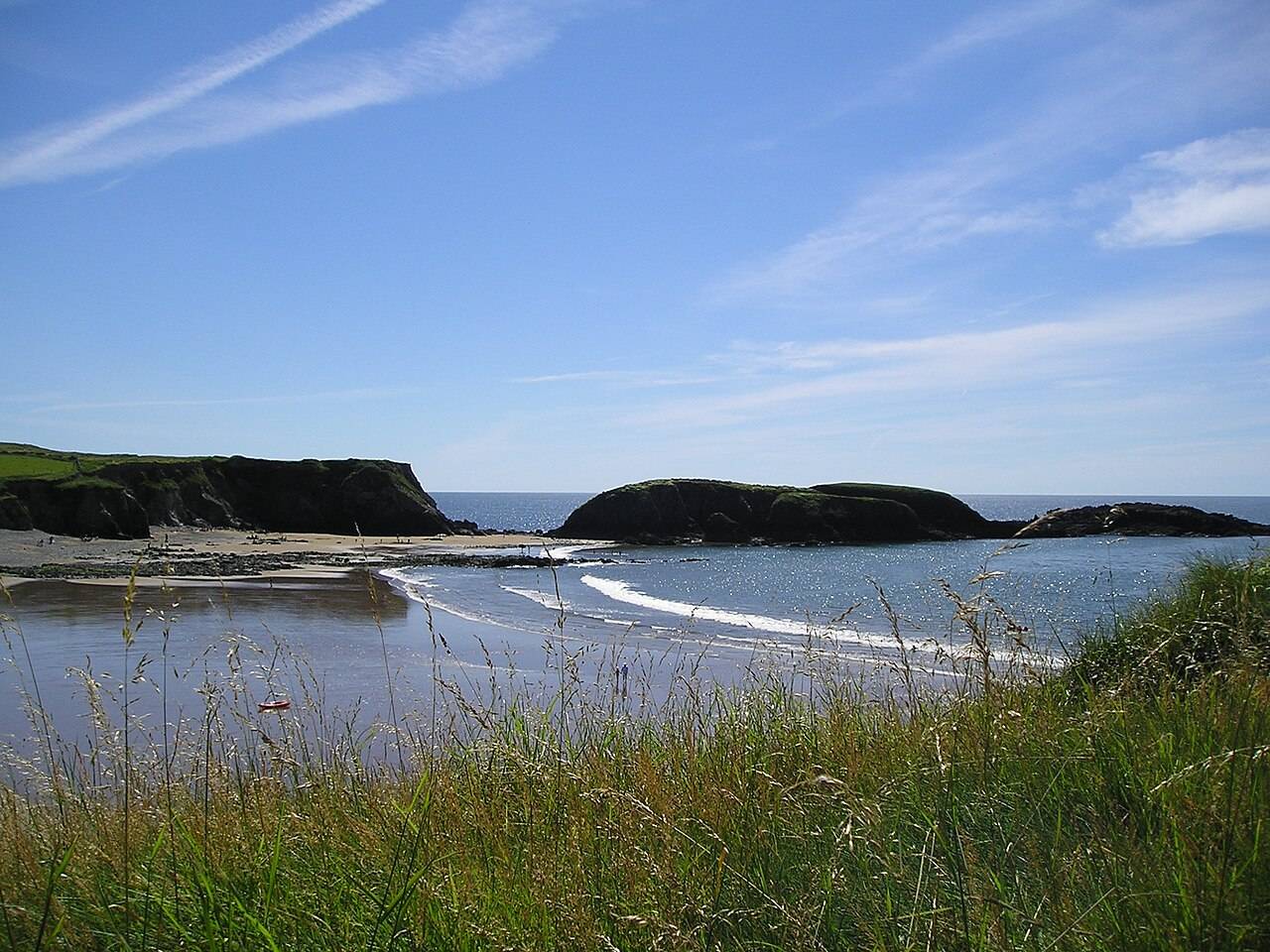
coast · 3.3 km
Annestown brings a small village, a river mouth and a beach into the same view. It works as a quiet shoreline pause or as the coastal end of a separately planned valley walk.
Open place page →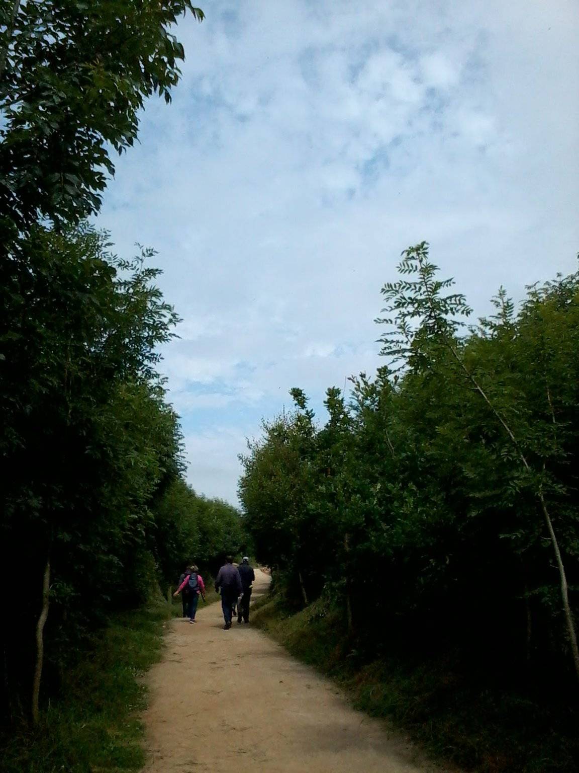
attraction · 3.3 km
The Annestown end of the Ann Valley walk changes the Copper Coast day from exposed shoreline to a river corridor with woodland and wetland.
Open place page →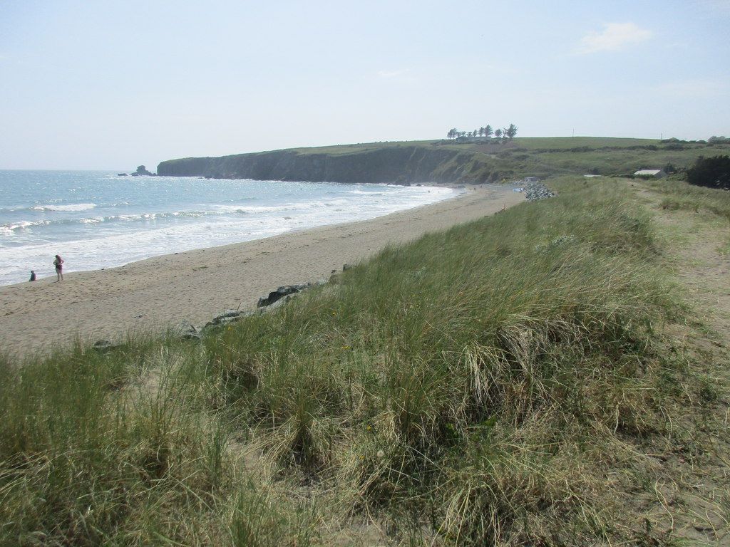
coast · 3.4 km
Bunmahon is the Copper Coast’s useful interpretation stop, combining a village beach setting with the geopark visitor centre and geological garden nearby.
Open place page →The accessible visitor excerpt describes a quiet beach, but provides little practical detail. That is too small a sample to promise solitude, parking or safe swimming.
Original paraphrases of public visitor accounts. These are limited perspectives, not a representative survey or a claim of our own visit. Use current operator information for access and opening.