Read the shape of the bay
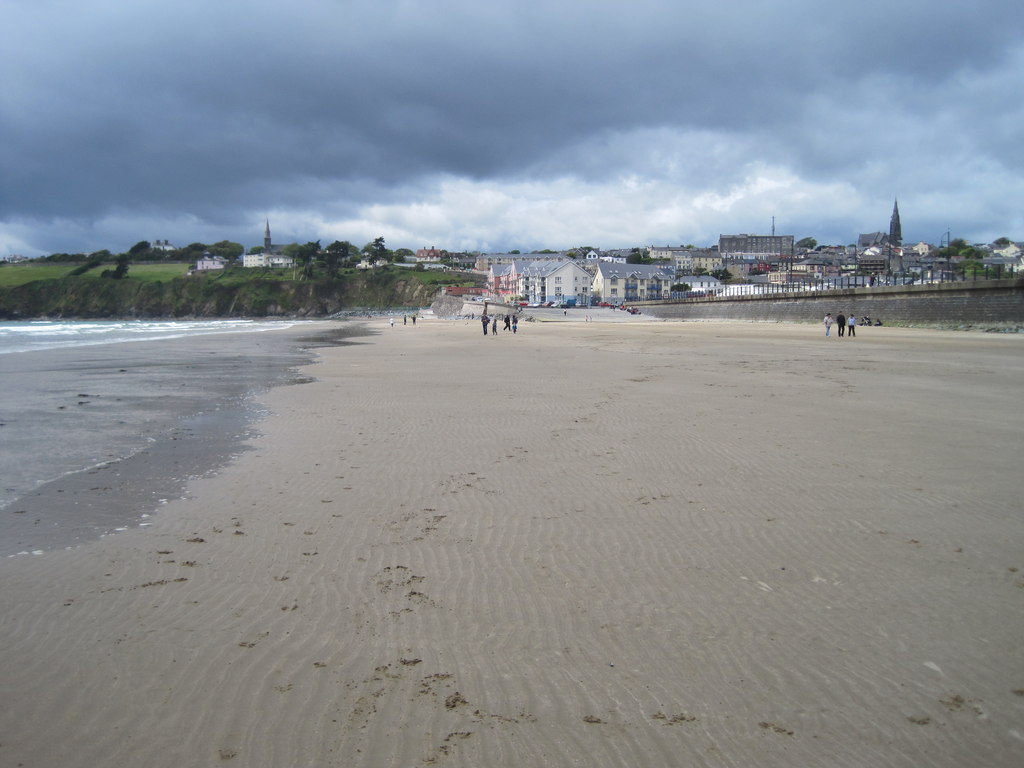
Follow the promenade for a changing view across the strand rather than trying to cover the whole beach.
Local map loading. The mapped place point is also linked below.
Beach / starting point
Council lists seasonal beach toilets; confirm current opening.
Suggested visit: 30–45 min. This is an editorial estimate; allow for conditions and your own pace.
Tramore is a useful first stop because the coast is easy to read here before the road turns towards smaller coves. The Irish name Trá Mór means “big strand”. Discover Ireland describes a five-kilometre sandy beach, dunes and a town descending towards the shore. From the promenade, look across the bay towards Brownstown Head and notice how open this setting feels compared with the more enclosed beaches later in the route. This is a resort town as well as a beach, so allow time for the promenade if you prefer to begin the day on foot. Discover Ireland: Tramore Beach ↗
The change from a broad strand to headlands and small coves is part of the story of the drive. Tramore gives you a wide view of the shore before Kilfarrasy brings the geological details close enough to examine from a public access point. You need not walk the full beach to understand the contrast: a short promenade stroll, a pause to look towards the headland and a glance at the dunes establish a reference for the rest of the day. Discover Ireland also notes that the waves attract water sports visitors; watching the water is different from assuming it is safe to enter. Decide separately whether beach activities suit the conditions on your visit. Visitor description ↗
If you are setting off early, Tramore is a sensible place to check the weather and make your first facilities stop. Waterford Council lists seasonal public toilets and pay-and-display parking, but neither a listing nor this guide guarantees a space or an open facility on the day. Read the signs where you park and check current beach notices. The place point below identifies the area, not an exact entrance. The suggested 30–45 minutes is an editorial starting point: stay longer if you want a walk, or continue west if the smaller geosites are your priority. Council beach information ↗
The Copper Coast Drive begins here and keeps the stops in a deliberate east-to-west order. The field guide places the film beside practical notes and sources, so you can use the video for atmosphere and the written pages for trip decisions. The film’s coast opening at 0:20 ↗ is a thematic companion to this stop; it is not labelled as verified footage of Tramore itself. Compare its coastal opening with the wide bay you can see here, then continue to Kilfarrasy to meet the rock story at closer range.
Begin with a short promenade stroll if you want to get your bearings before the smaller coves. If geology is the day's priority, keep Tramore brief and reserve more of your stop time for Kilfarrasy. You do not need to cover the whole strand to establish the contrast between a broad bay and the enclosed shores later on.
Make facilities a separate decision. Use the council information below to check what is listed, then confirm opening and availability locally. A resort-town setting is useful for planning a break, but does not guarantee an open toilet, a parking space or suitable conditions for entering the water. Stay on permitted paths around the dunes and follow local notices.
Source information checked 2026-09-24. Conditions and availability may change; confirm before travelling.
The Marine Institute tide predictions ↗ provide a dated source for planning. Select a relevant station and date there; a station forecast is not a reading for this exact beach or cove. Wind and atmospheric pressure can change actual water levels, so check current conditions and local access before descending to the shore.
Source-based editorial assessment · out of 10
Choose Tramore when you want an easy town-based shoreline visit. It has more scope for a flexible promenade outing than the smaller geological stops, though reaching the sand is a separate access question.
The strand and promenade are outdoor visits; parking arrangements and any facilities have their own opening conditions. Beach flags, lifeguard service and tide conditions must be checked locally. This guide recommends a shore visit, not swimming.
Best for: read the shape of the bay
Planning blend: 7.5 / 10 · Sustainability: unrated
Experience considers the reward and depth of this particular stop. Visitor friendliness considers practical ease: arrival, booking, physical demands, cost and flexibility. These are editorial judgements based on linked information, not visitor averages or a claim of a personal visit.
Assessed . Supporting guide source-check date: 2026-10-19. The assessment date does not mean every linked source was newly checked.
The blend uses (40 × Experience + 55 × Visitor friendliness) ÷ 95, rounded to the nearest half point. Missing sustainability does not affect it. A missing current visit score is not zero and has no blend.
A high score is not a safety clearance or a guarantee of step-free access. Food-stop scores concern the planned visit, not an untested meal. Read the scale and scope · Suggest a correction.
From research
Choose Tramore when you want an easy town-based shoreline visit. It has more scope for a flexible promenade outing than the smaller geological stops, though reaching the sand is a separate access question.
Before you go: The strand and promenade are outdoor visits; parking arrangements and any facilities have their own opening conditions.
Place highlights
Follow the promenade for a changing view across the strand rather than trying to cover the whole beach.
Use the seafront as an orientation point, with food and other town businesses checked separately on the day.
The story behind the visit
The long strand explains Tramore’s role as a seaside destination. On this route it provides a useful contrast with the compact coves and mining remains farther along the Copper Coast. Source ↗
Dated visitor information
Aim for the town seafront and use signed parking. Check Waterford Council parking information rather than assuming every seafront space is free. Official visitor information ↗
Source information checked 19 October 2026; confirm current access and visitor arrangements with the operator.
It can be either. Pick a promenade section and a turnaround that suits your group; walking the entire strand is not required. Source ↗
Nearby options
Distances are straight-line estimates between catalogue pins, within 30 km. Roads, entrances and walking routes may be much longer. Known closed places are excluded; inclusion does not confirm opening today.
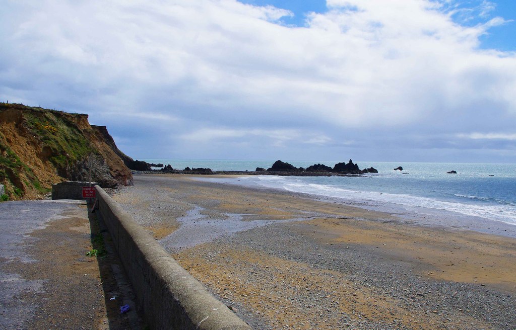
coast · 8.3 km
Kilfarrasy is a compact coastal geology stop where the rock, shingle and enclosing shoreline matter more than a list of facilities.
Open place page →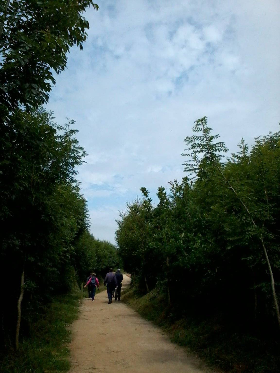
attraction · 10.9 km
The Annestown end of the Ann Valley walk changes the Copper Coast day from exposed shoreline to a river corridor with woodland and wetland.
Open place page →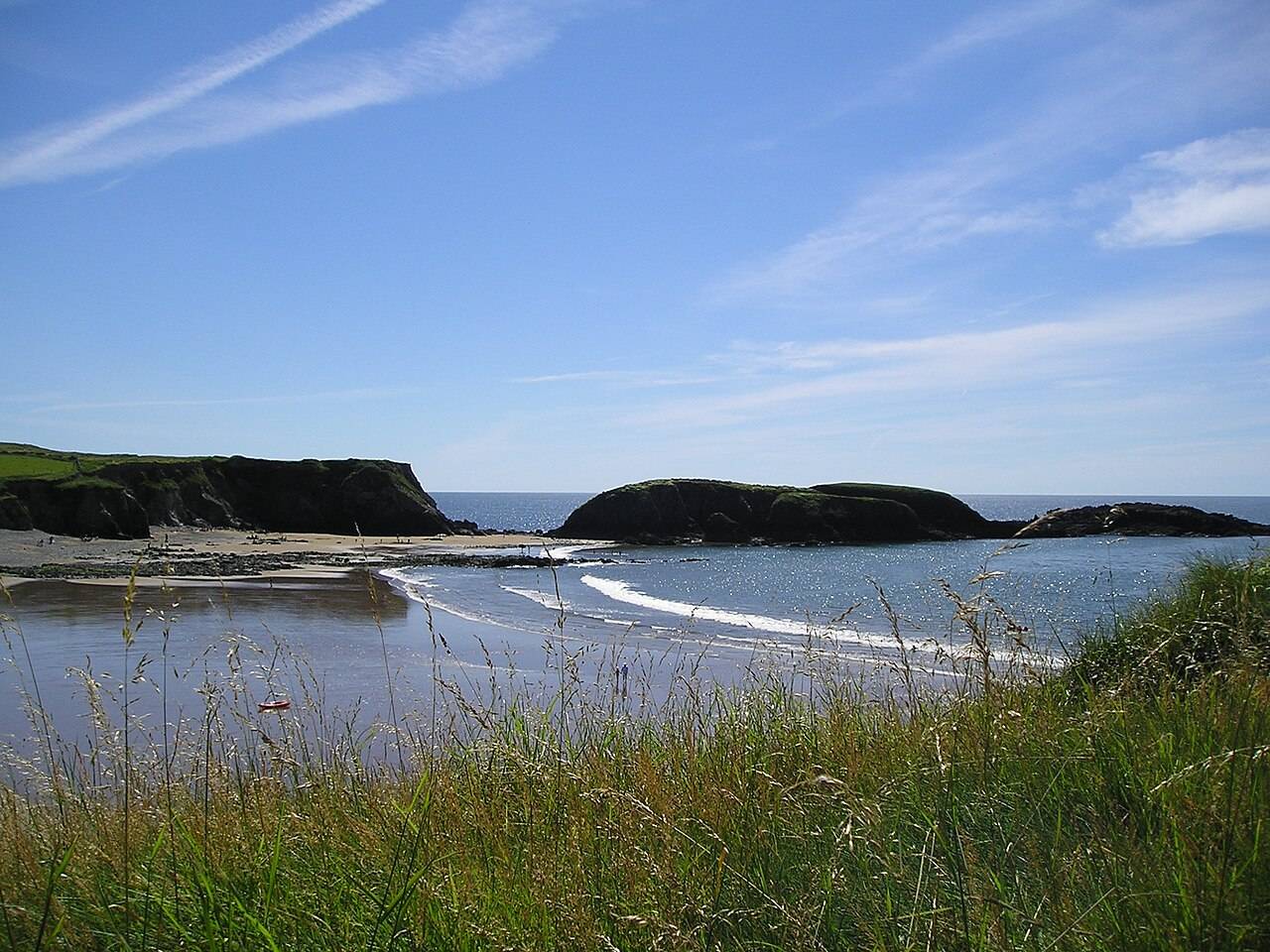
coast · 11.0 km
Annestown brings a small village, a river mouth and a beach into the same view. It works as a quiet shoreline pause or as the coastal end of a separately planned valley walk.
Open place page →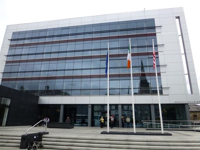
attraction · 11.8 km
The strongest reason to book the House of Waterford is seeing skilled work happen, rather than shopping for a famous name. The guided factory experience follows the making of crystal through different stages.…
Open place page →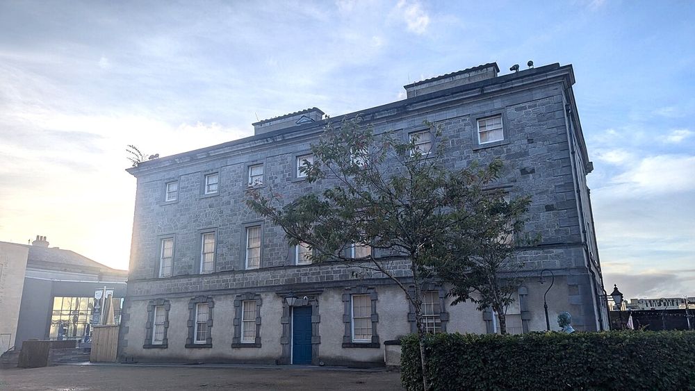
heritage · 11.9 km
The Bishop’s Palace is the later chapter of Waterford’s story: an elegant eighteenth-century house, decorative objects and the city’s Georgian and Victorian world. It offers a different mood from the defensive…
Open place page →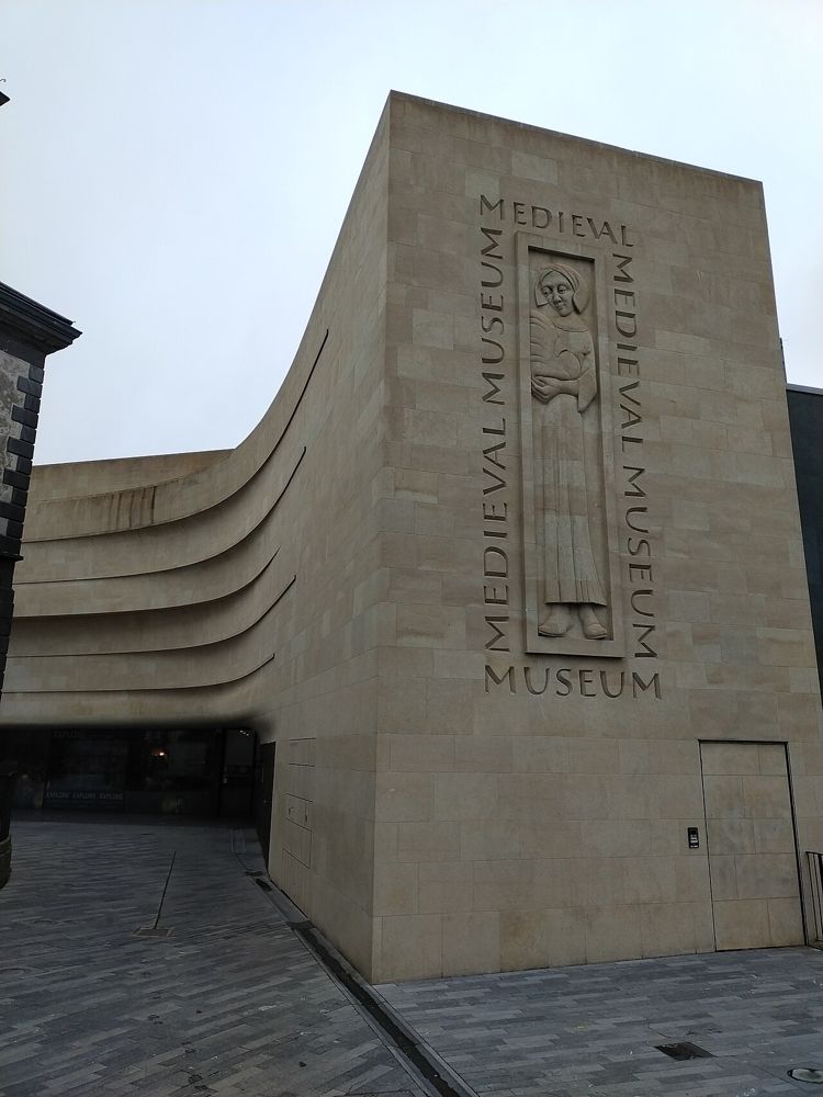
attraction · 11.9 km
The Medieval Museum is the Waterford stop to choose when you want the city’s trading, religious and civic history to become more than a Viking label. Historic spaces are incorporated into the modern building,…
Open place page →Visible visitor excerpts value the length of the strand but specifically mention wind. Choose a walk that can be shortened; these accounts do not establish bathing conditions.
Original paraphrases of public visitor accounts. These are limited perspectives, not a representative survey or a claim of our own visit. Use current operator information for access and opening.