Copper Coast route notes · Route anchor
Bunmahon: interpretation, beach and a planned Copper Coast break
A natural lunch stop with the Geopark visitor centre nearby.
Position 6 in the expanded eight-stop route · Suggested on-site allowance: 60–90 min. Add travel, meals and breaks.
By Nick · TheLazyNick · Route notes updated . Practical source dates appear below.
Open the interactive Copper Coast planner · Open the standalone place record
Where this stop fits in the drive
Use Bunmahon as a deliberate break in the drive rather than leaving food, interpretation and facilities to chance at the smaller coves. Decide whether the visitor centre, the strand or a meal is the main purpose of stopping, then check the relevant opening arrangements. The village can connect the mining story at Tankardstown with a more comfortable pause, but those parts of the visit do not run under one universal timetable or guarantee a particular service on your date.
Bunmahon follows Tankardstown in both the original and expanded east-to-west sequences. It is a useful point to reassess the rest of the day: continue to Stradbally if you still want another cove, or keep enough time for the eventual Dungarvan finish. If the earlier shore visits took longer than expected, shorten the list instead of treating lunch as something to fit into the drive. A practical break is part of a well-made itinerary, not time lost from sightseeing.
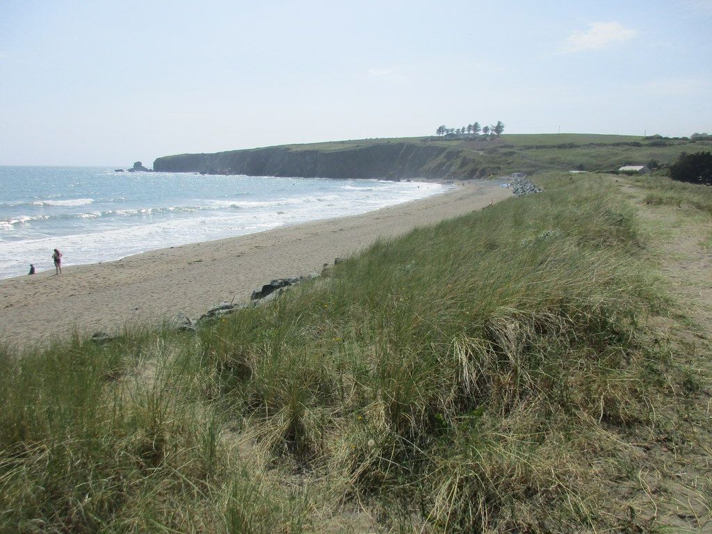
The strand and the visitor centre answer different interests. The beach provides an outdoor pause, while interpretation can help explain what the coast and mining remains mean. Check the access and operating information for each independently. Council-listed seasonal facilities should not be treated as confirmation that a toilet is open today, and an attractive beach setting is not a swimming recommendation. Let the conditions and the needs of the group determine how much time goes to the shore.
History and the landscape
The historical thread
Bunmahon is a useful place to connect the Copper Coast’s mining landscape with interpretation of the wider area. The Geopark’s mining account and visitor centre provide the historical context; opening should be checked before making the centre the essential part of the day. Historical source.
Geology and what to notice
Use the Geopark’s geological interpretation to connect the rocks seen along the route rather than treating every cove as a separate spectacle. The Geological Garden is a possible additional learning stop near Bunmahon, with its own visitor information; it is not automatically included in a beach visit or audio chapter. Geological source.
Parking, access and conditions
- Access
- Waterford Council lists Bunmahon strand as suitable for wheelchair access; check the exact route and current conditions locally. Practical source Source check: 2026-09-24
- Facilities
- Public toilets are listed for the bathing season; confirm dates and opening locally. Practical source Source check: 2026-09-24
- Parking
- Copper Coast Geopark lists parking in the village near the beach; availability may vary. Practical source Source check: 2026-09-24
Tide and the safe extent of the visit
Follow beach signs, current conditions and any lifeguard information. The council’s wheelchair-access listing concerns the strand’s listed access, not a guarantee that all sand, tide levels and approaches suit every visitor. Check your specific needs and avoid turning a route pause into an unplanned swim.
Food and comfort breaks
The Geopark has a café information page. Check its current opening and menu directly before depending on it for lunch; a café listing does not ensure service at every hour. Carry water and a food backup for the coastal day.
Road travel and public transport
Use live directions for each road leg; the route line is an order of places, not a navigable road or verified coastal path. If travelling by bus, check the actual service, return departure and last-mile walk separately. Do not assume a bus reaches every beach entrance.
Check TFI journey planning · Check the Geopark’s official site guidance
Listen to the Copper Coast in English or Hindi
These are the real continuous whole-coast narrations used by the main guide. They are background for the route, not recordings specific to this stop. There are no verified stop chapters or time offsets, so both players begin at the start of the full track.
Hindi · हिन्दी
Load a track while connected and listen when safely stopped. The static stop notes remain available without playing audio.
Choose the next part of the day
Keep Bunmahon as the point where you decide whether the remaining time supports Stradbally and Dungarvan comfortably. Confirm the next permitted parking area and live road directions before leaving. If the visitor centre is closed, choose the strand or an independently checked meal as a different visit rather than presenting them as an equivalent substitute for the exhibition.
The original seven-stop plan omits the optional Kilmurrin detour. The expanded route adds it between Annestown and Tankardstown; all eight real place records remain available. Optional labels help shorten the day without losing the route’s main historical and geological threads.
Sources for this stop
- Geopark: visitor centre
- Geopark: café information
- Geopark: mining heritage
- Geopark: Geological Garden
- Waterford Council: seasonal beach facilities and access
Standalone place details and image credits · Send a correction