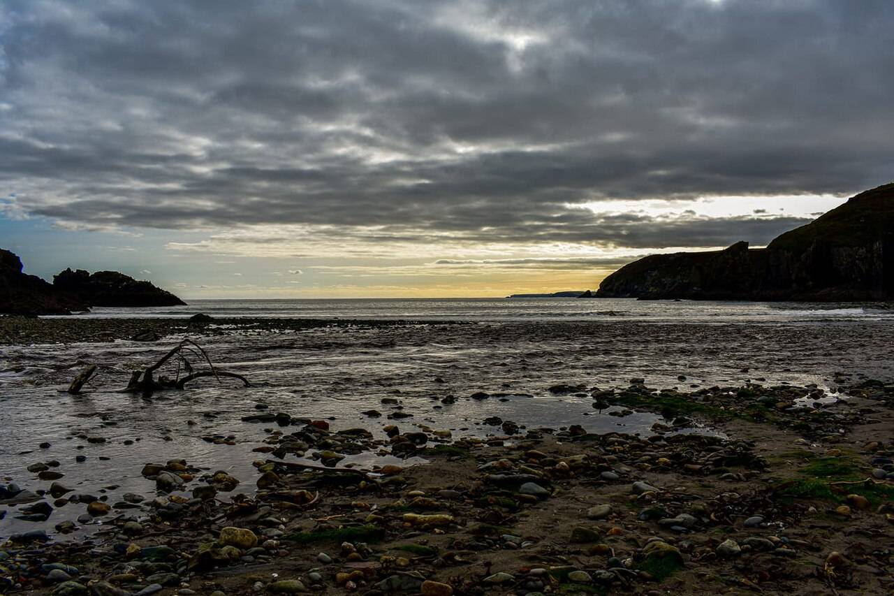
Look across the cove
Take in the enclosing land and changing shoreline from the public access.
Local map loading. The mapped place point is also linked below.
Cove / geology
Check tide and signed access before going down to the shore.
Suggested visit: 30–45 min. This is an editorial estimate; allow for conditions and your own pace.
Stradbally brings the journey back to a smaller coastal setting after Bunmahon’s village break. The Copper Coast Geopark lists the cove among its geosites and describes beach access to the rocks, subject to local conditions. Take time to look at the enclosing landform before heading towards the shore: the point of this stop is to notice another expression of the same coast, not to reach every feature. The route uses Stradbally as its western cove before finishing in Dungarvan. Because it is an outdoor site, tide, wind and footing matter more than the suggested 30–45 minute duration. Geopark: Stradbally Cove ↗
The Geopark’s built-heritage account describes a lime kiln at Stradbally constructed with locally derived rock: green andesite in its walls and grey slate in its arches. That is a useful way to connect geology to everyday building, if you visit permitted public areas and can view the structure safely. It also keeps the stop from being only a photograph of a beach. The shape and material of a structure tell a different story from the natural outcrop beside the water. Neither observation requires entering restricted ground or touching the historic fabric. Geopark built heritage ↗
The Geopark lists parking, but this page’s coordinate is a general place point, not a confirmed parking entrance. Follow current signs, respect access boundaries and reconsider a descent if the beach route looks unsafe. A cove can change markedly between high and low tide; check the forecast and local notices before deciding how close to the water to go. If conditions make a shore visit unsuitable, a short view from a permitted public area still gives you a sense of the coast before the final drive west. Facilities are not guaranteed here, so plan a break in Bunmahon or Dungarvan when needed. Geopark place listing ↗
The film’s coast-today chapter at 6:29 ↗ is a companion to this part of the drive, not a claim that the images depict Stradbally. Use it to think about how mining heritage, geology and living places sit on the same stretch of shoreline. The field guide gathers the route and verification notes, while this page keeps the local arrival cautions close at hand. The last optional stop, Dungarvan Castle, shifts the journey from coastal geology to a harbour town and a much older building.
The Geopark's built-heritage account gives a useful reason to look beyond the cove: local andesite and slate appear in the lime kiln. Compare that description with what is visible from permitted public ground, without touching or climbing on the historic structure. After Kilfarrasy's geology and Tankardstown's mining, this is another way to consider how people used the coast's rock.
If time is running short, Stradbally is an optional pause rather than an obligation. Leave it out when tide, weather or access makes a shore visit unsuitable. Plan essential facilities through confirmed listings elsewhere; the absence of a verified listing here does not establish that no facilities exist. The route still works with a direct continuation to its optional Dungarvan finish.
Source information checked 2026-09-24. Conditions and availability may change; confirm before travelling.
The Marine Institute tide predictions ↗ provide a dated source for planning. Select a relevant station and date there; a station forecast is not a reading for this exact beach or cove. Wind and atmospheric pressure can change actual water levels, so check current conditions and local access before descending to the shore.
Source-based editorial assessment · out of 10
Choose it if you want to slow down after the mining sites and other coves. It adds less to a rushed checklist than to a day with room for an unhurried shore stop.
Tide and weather affect how much shore is usable. No continuous cliff route, swimming conditions or year-round beach services are confirmed by this page.
Best for: look across the cove
Planning blend: 6.5 / 10 · Sustainability: unrated
Experience considers the reward and depth of this particular stop. Visitor friendliness considers practical ease: arrival, booking, physical demands, cost and flexibility. These are editorial judgements based on linked information, not visitor averages or a claim of a personal visit.
Assessed . Supporting guide source-check date: 2026-10-19. The assessment date does not mean every linked source was newly checked.
The blend uses (40 × Experience + 55 × Visitor friendliness) ÷ 95, rounded to the nearest half point. Missing sustainability does not affect it. A missing current visit score is not zero and has no blend.
A high score is not a safety clearance or a guarantee of step-free access. Food-stop scores concern the planned visit, not an untested meal. Read the scale and scope · Suggest a correction.
From research
Choose it if you want to slow down after the mining sites and other coves. It adds less to a rushed checklist than to a day with room for an unhurried shore stop.
Before you go: Tide and weather affect how much shore is usable.
Place highlights
Take in the enclosing land and changing shoreline from the public access.
Plan any village pause separately, checking actual opening businesses instead of assuming beach facilities.
The story behind the visit
Stradbally is part of the geopark’s network of coastal sites. Its value on a route is in showing another variation of the shoreline, rather than repeating the industrial story at Tankardstown. Source ↗
Dated visitor information
Follow the public cove approach and local parking signs. Check the access surface on arrival if your group needs a firm, level route. Official visitor information ↗
Source information checked 19 October 2026; confirm current access and visitor arrangements with the operator.
Only if your interest is scenery. For the Copper Coast’s visible mining heritage, keep Tankardstown in the day. Source ↗
Nearby options
Distances are straight-line estimates between catalogue pins, within 30 km. Roads, entrances and walking routes may be much longer. Known closed places are excluded; inclusion does not confirm opening today.
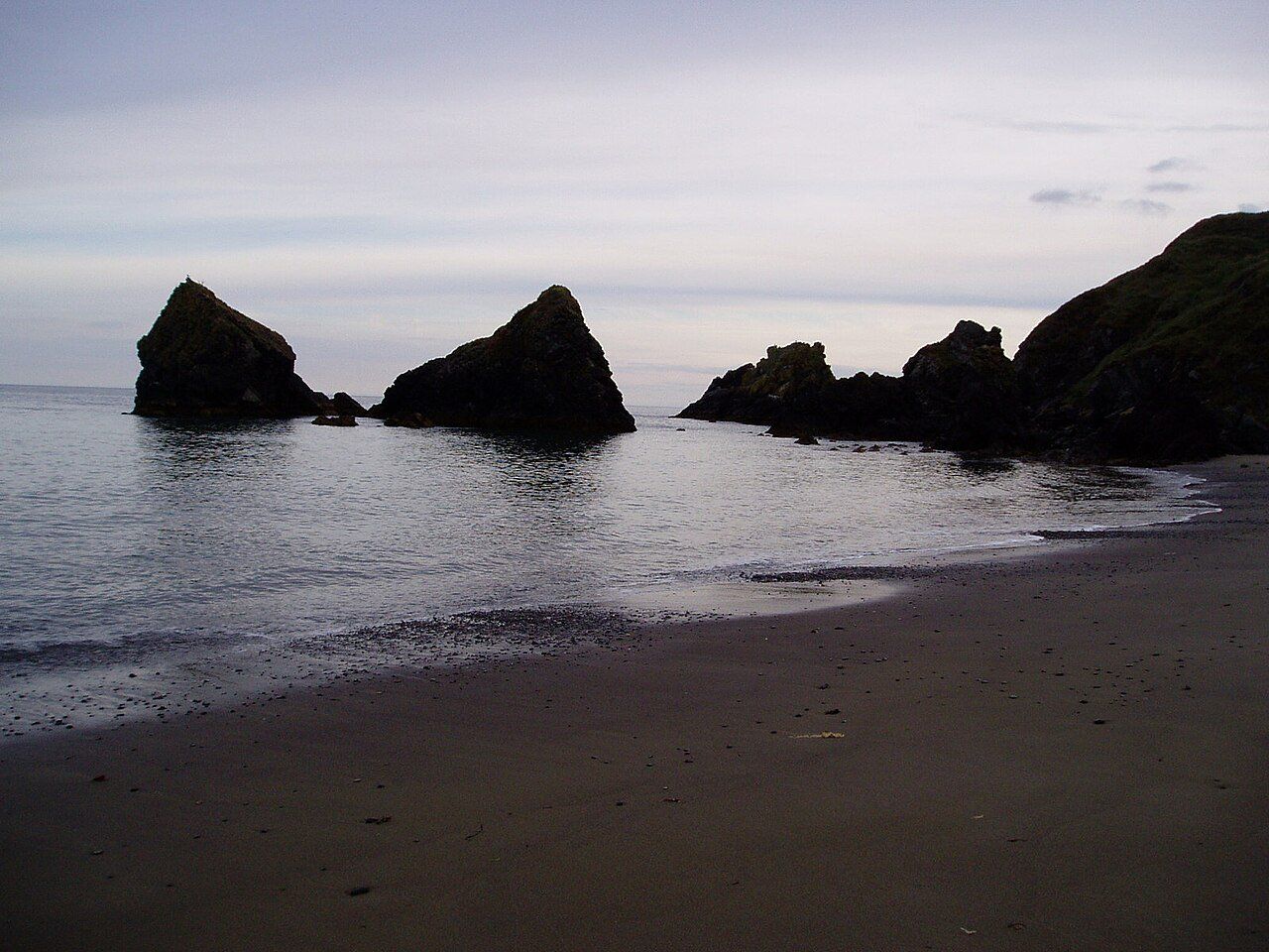
attraction · 3.9 km
Ballydowane is a quieter Copper Coast beach stop, best approached as a chance to observe the cove and its geology within the shore that is actually accessible.
Open place page →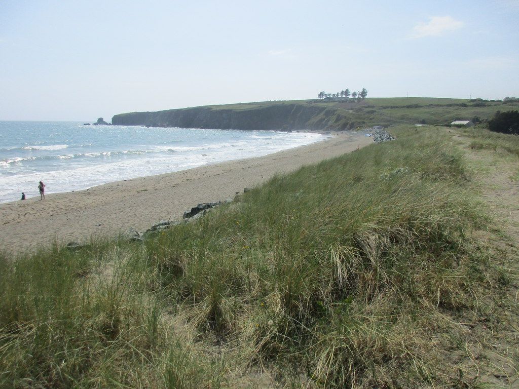
coast · 6.4 km
Bunmahon is the Copper Coast’s useful interpretation stop, combining a village beach setting with the geopark visitor centre and geological garden nearby.
Open place page →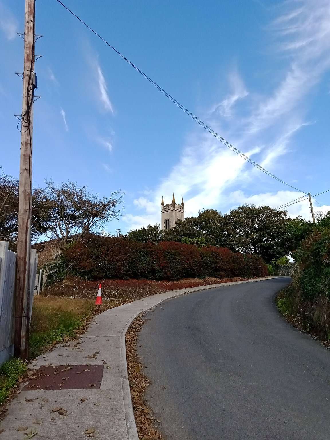
attraction · 6.8 km
The Copper Coast Geopark Visitor Centre in Bunmahon is the indoor context stop for a route otherwise dominated by exposed beaches, rock and mining remains.
Open place page →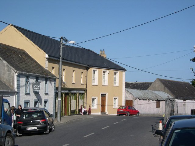
attraction · 6.9 km
Bunmahon Geological Garden is a compact outdoor introduction to the Copper Coast’s deep history, using a time path and rock interpretation rather than a long coastal walk.
Open place page →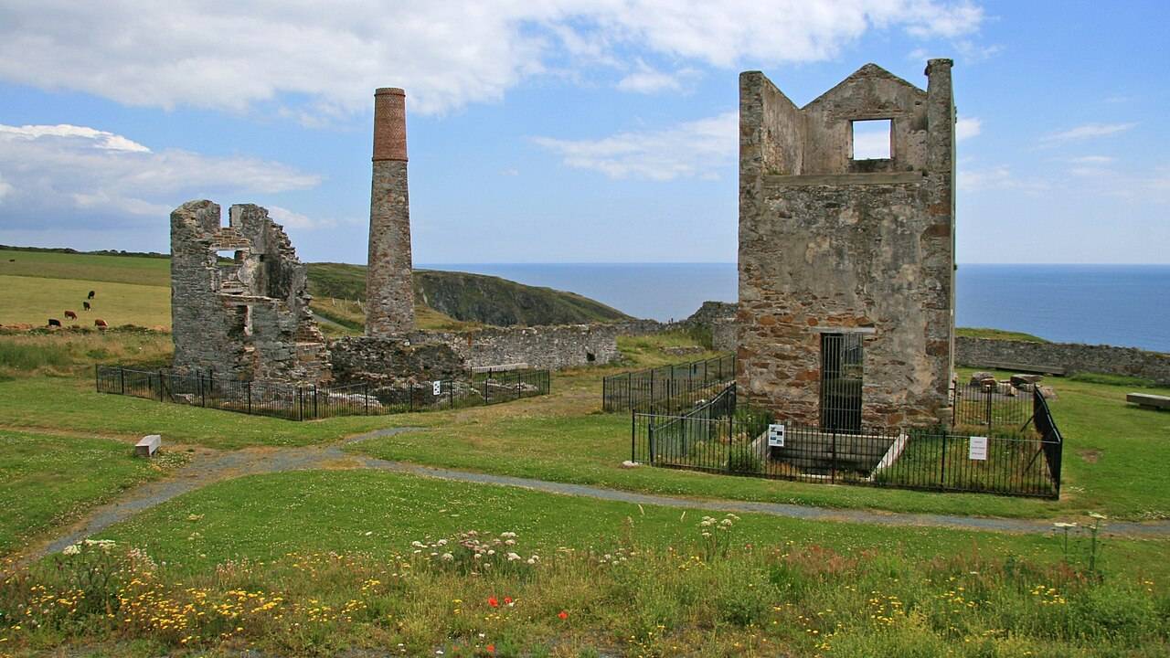
heritage · 8.2 km
Tankardstown gives the Copper Coast its clearest industrial stop: the surviving engine-house structures make the mining story tangible above ground.
Open place page →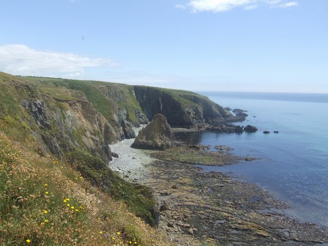
coast · 9.7 km
Kilmurrin is a small cove framed by headlands, useful when you want to stop, look and linger without turning the whole day into a long walk.
Open place page →An older public discussion treats the cove as a quieter alternative to larger strands. Its swimming opinions are not used here as safety evidence; follow current official and on-site advice.
Original paraphrases of public visitor accounts. These are limited perspectives, not a representative survey or a claim of our own visit. Use current operator information for access and opening.