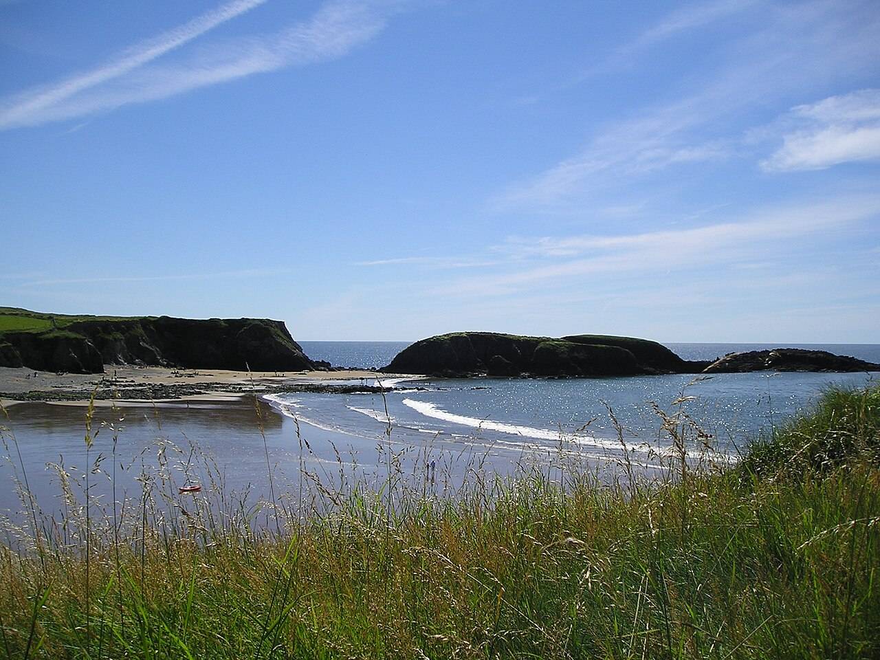
coast · 0.1 km
Annestown Beach
Annestown brings a small village, a river mouth and a beach into the same view. It works as a quiet shoreline pause or as the coastal end of a separately planned valley walk.
Open place page →parking · County Waterford
A mapped parking reference near Annestown Beach.
Saved on this browser. No account needed.
Find your bearings
Explore the area, find the essentials and build a day around what interests you.
See the location ↓Nearby options
Distances are straight-line estimates between catalogue pins, within 30 km. Roads, entrances and walking routes may be much longer. Known closed places are excluded; inclusion does not confirm opening today.
coast · 0.1 km
Annestown brings a small village, a river mouth and a beach into the same view. It works as a quiet shoreline pause or as the coastal end of a separately planned valley walk.
Open place page →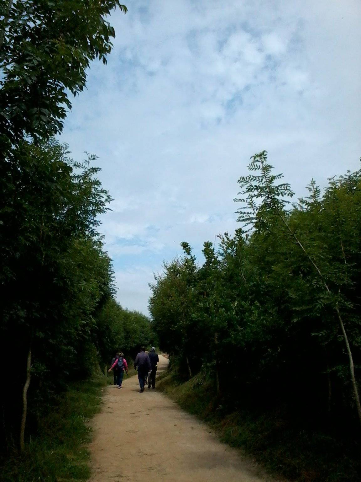
attraction · 0.4 km
The Annestown end of the Ann Valley walk changes the Copper Coast day from exposed shoreline to a river corridor with woodland and wetland.
Open place page →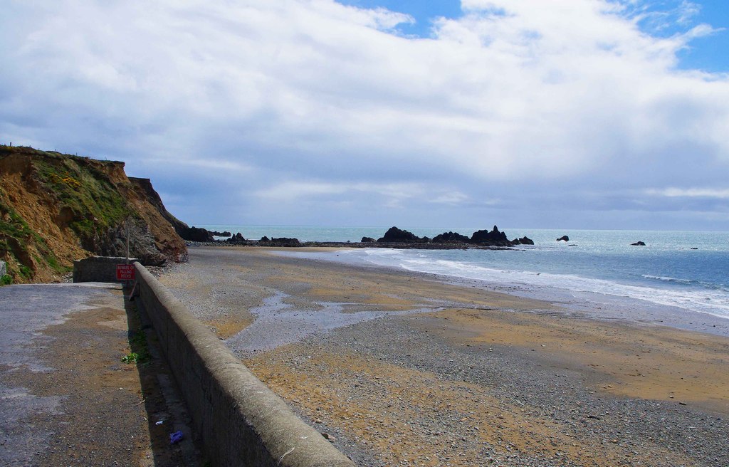
coast · 2.8 km
Kilfarrasy is a compact coastal geology stop where the rock, shingle and enclosing shoreline matter more than a list of facilities.
Open place page →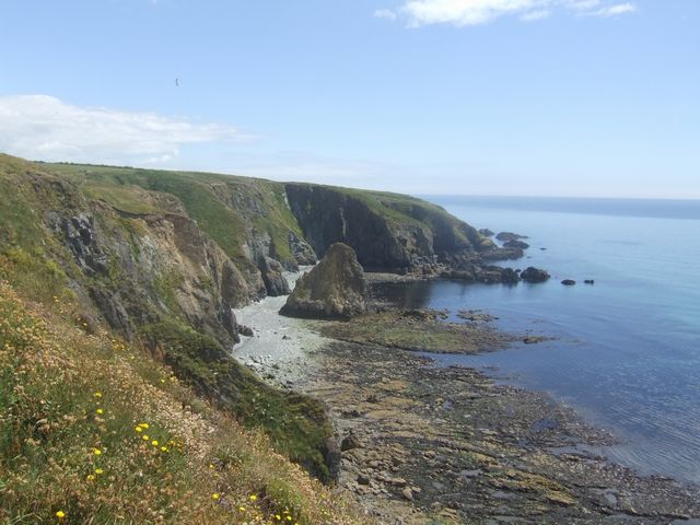
coast · 3.3 km
Kilmurrin is a small cove framed by headlands, useful when you want to stop, look and linger without turning the whole day into a long walk.
Open place page →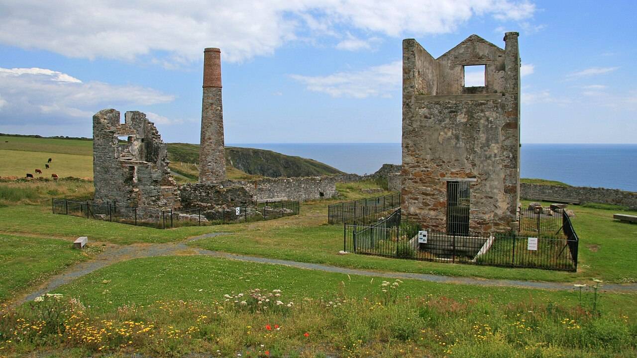
heritage · 4.9 km
Tankardstown gives the Copper Coast its clearest industrial stop: the surviving engine-house structures make the mining story tangible above ground.
Open place page →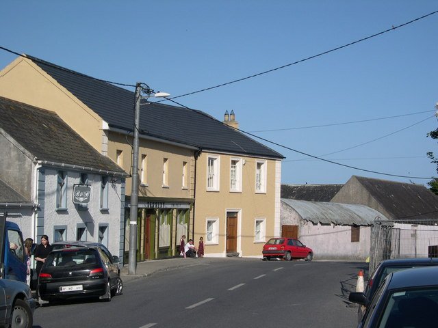
attraction · 6.2 km
Bunmahon Geological Garden is a compact outdoor introduction to the Copper Coast’s deep history, using a time path and rock interpretation rather than a long coastal walk.
Open place page →Location & access
Mapped features are reference points, not verified entrances. Confirm current access, opening, availability and charges locally.
52.13981, -7.27105 · Reference point; confirm the correct entrance and access. Map © OpenStreetMap contributors.
Source-based place brief. A catalogue reference is not a live availability check or a report of a personal visit.
Catalogue source-check date: 2026-09-26. Page assembled 14 October 2026.