Great South Wall
Notice its role in shaping the shipping channel, not just its use as a walking path.
coast · Dublin
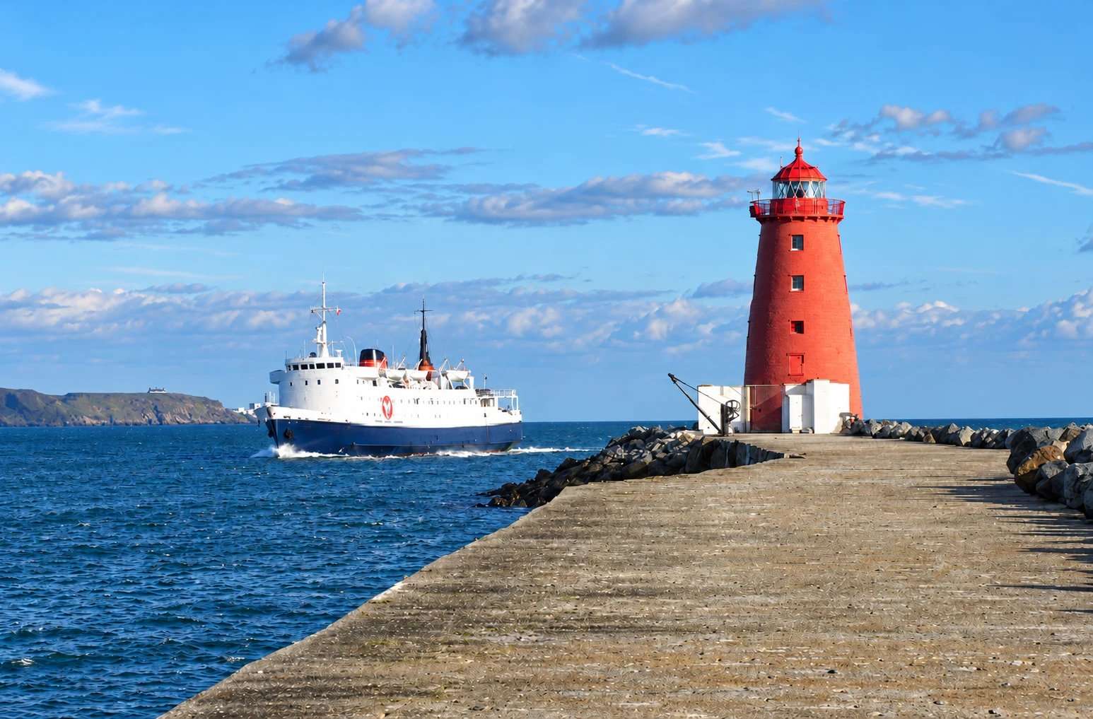
An exposed harbour-wall walk towards the red Poolbeg Lighthouse, with shipping and bay views.
Source-based editorial assessment · out of 10
The long harbour structure and red Poolbeg landmark offer a distinctive view of Dublin’s working port. Maritime engineering and passing vessels add interest beyond the endpoint.
An exposed, uneven out-and-back route and the peninsula approach require preparation. Wind, sea conditions or port works can close access; check notices and plan the return.
Best for: Maritime landscape in suitable walking weather
Planning blend: 6.5 / 10 · Sustainability: unrated
Experience considers the reward and depth of this particular stop. Visitor friendliness considers practical ease: arrival, booking, physical demands, cost and flexibility. These are editorial judgements based on linked information, not visitor averages or a claim of a personal visit.
Assessed . Supporting guide source-check date: 15 October 2026. The assessment date does not mean every linked source was newly checked.
The blend uses (40 × Experience + 55 × Visitor friendliness) ÷ 95, rounded to the nearest half point. Missing sustainability does not affect it. A missing current visit score is not zero and has no blend.
A high score is not a safety clearance or a guarantee of step-free access. Food-stop scores concern the planned visit, not an untested meal. Read the scale and scope · Suggest a correction.
From research
Choose it for maritime landscape in suitable weather. It is less suitable when wind, waves or an exposed return would make your group uncomfortable.
Before you go: The wall is working port infrastructure and can close in severe weather or for works. Obey cordons; no lighthouse interior access is promised.
Place highlights
Notice its role in shaping the shipping channel, not just its use as a walking path.
Treat the red lighthouse as an exterior landmark at the turning point.
Watch vessels from a safe position without approaching edges for photographs.
The story behind the visit
The Great South Wall was built in stages to manage the shifting river channel and the movement of sand. Dublin Port traces its origins to timber piling begun in 1716, followed by stone construction and later extension towards Poolbeg. What now serves as a memorable public walk remains part of the engineering that helps keep the Liffey’s mouth navigable. The line out towards the lighthouse makes more sense when understood as a breakwater rather than a recreational pier designed solely for visitors. Source ↗
The exposed position is also a reminder that the infrastructure faces real sea conditions. Storm damage has required substantial protection work around the lighthouse, and access can be restricted. A good visit begins with a decision about conditions, not a commitment to reach the end at any cost. Wear suitable footwear, respect warning signs and turn back if the route feels unsafe. The outward view is only half the walk: leave daylight, energy and weather margin for returning along the same exposed wall. Source ↗
Dated visitor information
Use the official South Wall walking directions to choose your approach on the Poolbeg peninsula. Do not route through restricted port areas. Official visitor information ↗
Source information checked 15 October 2026; confirm current access and visitor arrangements with the operator.
This guide covers the exterior walk; it does not establish visitor access inside the lighthouse. Source ↗
No. Port closures and safety cordons can apply. Source ↗
No. Treat the wall as an out-and-back route, not a bridge across the harbour. Source ↗
Nearby options
Distances are straight-line estimates between catalogue pins, within 30 km. Roads, entrances and walking routes may be much longer. Known closed places are excluded; inclusion does not confirm opening today.
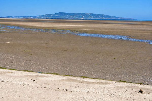
coast · 1.7 km
A broad tidal strand and coastal promenade on the south side of Dublin Bay.
Open place page →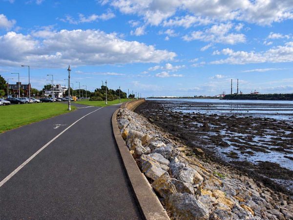
coast · 2.6 km
A linear seafront walk from Fairview towards the Bull Wall, with broad views across Dublin Bay.
Open place page →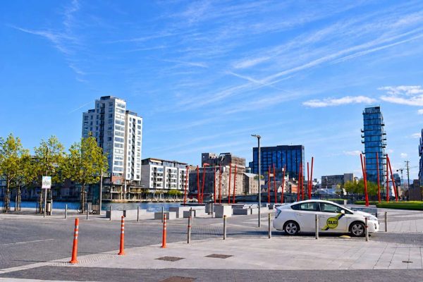
attraction · 3.3 km
A designed waterfront square where bold paving, planting and theatre architecture meet Grand Canal Dock.
Open place page →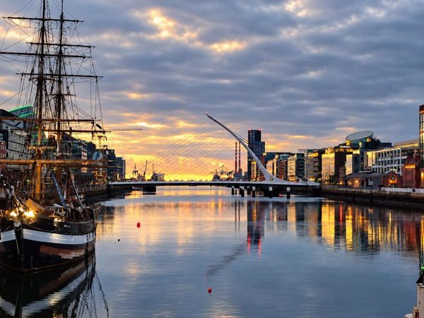
attraction · 3.5 km
A modern Liffey crossing whose harp-like form helps explain the changing Docklands skyline.
Open place page →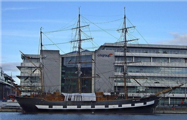
heritage · 3.8 km
Board a replica emigrant ship for a guided account of the people who crossed the Atlantic during the Great Famine. The physical setting makes a useful companion to EPIC’s broader migration story.
Open place page →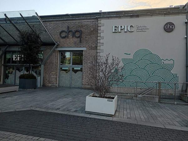
heritage · 4.0 km
EPIC explores Irish emigration through interactive galleries in the CHQ building. It follows the reasons people left and the cultural, scientific and social influence of lives built abroad.
Open place page →An accessible visitor photo account frames the outing as exercise rewarded by the view from the lighthouse. That is a better expectation than treating it as a drive-up photograph. The account does not establish conditions on the exposed wall today; check the weather and access before choosing the walk.
Original paraphrases of public visitor accounts. These are limited perspectives, not a representative survey or a claim of our own visit. Use current operator information for access and opening.
Location & access
The wall is working port infrastructure and can close in severe weather or for works. Obey cordons; no lighthouse interior access is promised.
53.34160, -6.18930 · Reference point; confirm the correct entrance and access. Map © OpenStreetMap contributors.
Source-based place brief. A catalogue reference is not a live availability check or a report of a personal visit.
Visitor details checked 15 October 2026. Page content updated 2026-10-15.