Bay views
Use the open outlook as the main reason to pause, rather than rushing to a distant endpoint.
coast · Dublin
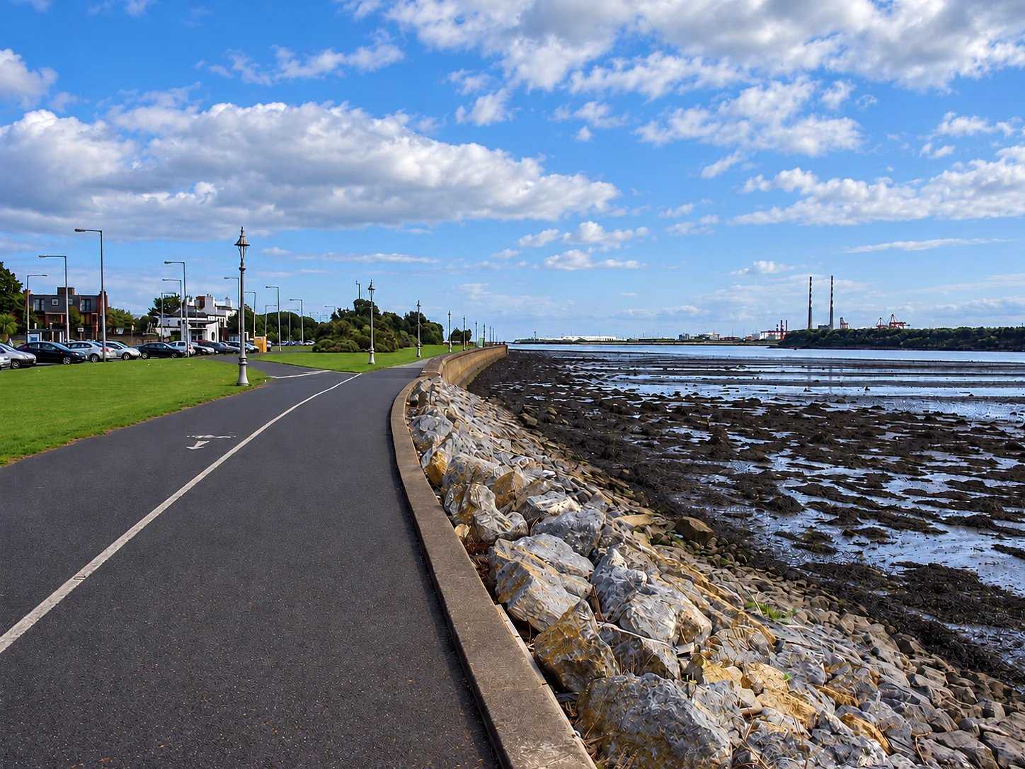
A linear seafront walk from Fairview towards the Bull Wall, with broad views across Dublin Bay.
Source-based editorial assessment · out of 10
Open bay views and public sculpture make a satisfying neighbourhood seafront stroll. Its appeal is an adaptable coastal pause rather than a single destination requiring completion.
Multiple start points and optional turning points allow a short walk. Choose an arrival location, account for exposed weather and keep clear of the dedicated cycle track.
Best for: A flexible neighbourhood seafront stroll
Planning blend: 8.0 / 10 · Sustainability: unrated
Experience considers the reward and depth of this particular stop. Visitor friendliness considers practical ease: arrival, booking, physical demands, cost and flexibility. These are editorial judgements based on linked information, not visitor averages or a claim of a personal visit.
Assessed . Supporting guide source-check date: 15 October 2026. The assessment date does not mean every linked source was newly checked.
The blend uses (40 × Experience + 55 × Visitor friendliness) ÷ 95, rounded to the nearest half point. Missing sustainability does not affect it. A missing current visit score is not zero and has no blend.
A high score is not a safety clearance or a guarantee of step-free access. Food-stop scores concern the planned visit, not an untested meal. Read the scale and scope · Suggest a correction.
From research
Choose this for an adaptable coastal outing close to neighbourhood streets. It suits an out-and-back stroll better than a fixed must-complete route.
Before you go: The promenade has a dedicated cycle track: keep walking and cycling space distinct. Check weather before choosing an exposed seafront section.
Place highlights
Use the open outlook as the main reason to pause, rather than rushing to a distant endpoint.
Look for Sails by Eamonn O’Doherty and the Chilean Moai sculpture.
Start near Fairview or another convenient access point and turn back when your group needs to.
The story behind the visit
The promenade’s open edge can feel like a natural boundary between land and sea, yet Dublin City Council records its construction on reclaimed ground from the 1920s through to the late 1950s. That history gives a familiar urban walk another layer: this is a deliberately made public coastline. Its long, linear form makes sense as a place for daily recreation rather than a single enclosed attraction. Source ↗
Art adds stopping points along the route. Eamonn O’Doherty’s Sails and the Moai donated by Chile bring different associations to the same waterfront. Instead of trying to attach a grand itinerary to the whole promenade, use one sculpture or a view as a turning point. A short walk can still reveal how the bay, the road and the public path sit alongside each other. The dedicated cycle track is useful context for a relaxed visit: watch crossings and keep clear of moving bicycles when stopping for photographs. Source ↗
Dated visitor information
Choose a specific point on Clontarf Road for your start; the council’s location map marks the promenade rather than one mandatory entrance. Official visitor information ↗
Source information checked 15 October 2026; confirm current access and visitor arrangements with the operator.
No. It is a linear promenade; plan your return or choose a turning point. Source ↗
The council lists a dedicated cycle track; use the correct space and respect pedestrians. Source ↗
No. The route is easy to shorten to suit the weather and your group. Source ↗
Nearby options
Distances are straight-line estimates between catalogue pins, within 30 km. Roads, entrances and walking routes may be much longer. Known closed places are excluded; inclusion does not confirm opening today.

heritage · 1.6 km
A small-looking garden pavilion whose carefully planned interior reveals a much more elaborate building.
Open place page →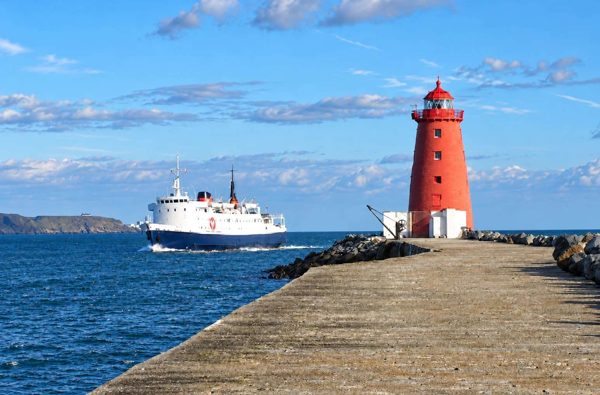
coast · 2.6 km
An exposed harbour-wall walk towards the red Poolbeg Lighthouse, with shipping and bay views.
Open place page →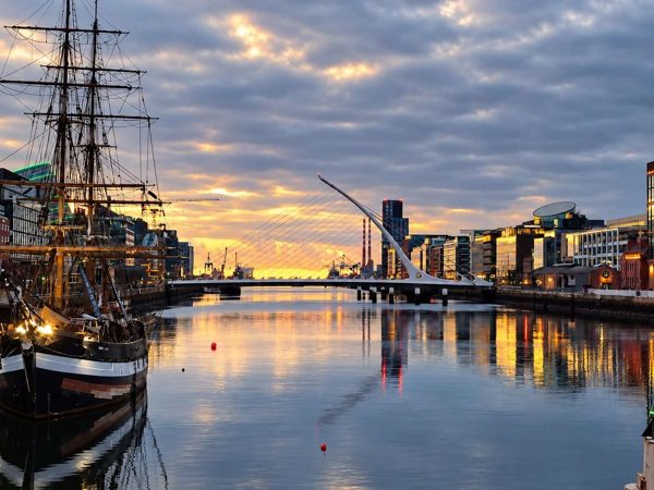
attraction · 2.7 km
A modern Liffey crossing whose harp-like form helps explain the changing Docklands skyline.
Open place page →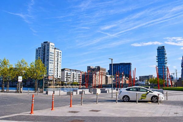
attraction · 2.8 km
A designed waterfront square where bold paving, planting and theatre architecture meet Grand Canal Dock.
Open place page →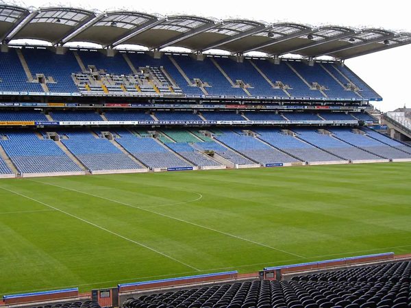
heritage · 2.8 km
Croke Park pairs the GAA Museum’s sporting and cultural story with bookable stadium experiences. Museum-only admission, a stadium tour and the rooftop Skyline are different products.
Open place page →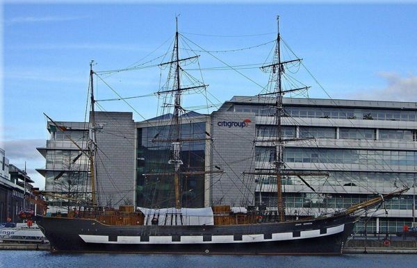
heritage · 2.9 km
Board a replica emigrant ship for a guided account of the people who crossed the Atlantic during the Great Famine. The physical setting makes a useful companion to EPIC’s broader migration story.
Open place page →A local account describes enjoying the stretch between the wooden bridge and the Clontarf statue, with the changing evening light part of the appeal. That is a useful scale for a flexible seafront pause: choose a section and a turnaround, rather than feel obliged to walk the entire waterfront.
Original paraphrases of public visitor accounts. These are limited perspectives, not a representative survey or a claim of our own visit. Use current operator information for access and opening.
Location & access
The promenade has a dedicated cycle track: keep walking and cycling space distinct. Check weather before choosing an exposed seafront section.
53.36150, -6.20850 · Reference point; confirm the correct entrance and access. Map © OpenStreetMap contributors.
Source-based place brief. A catalogue reference is not a live availability check or a report of a personal visit.
Visitor details checked 15 October 2026. Page content updated 2026-10-15.