Cable-stayed form
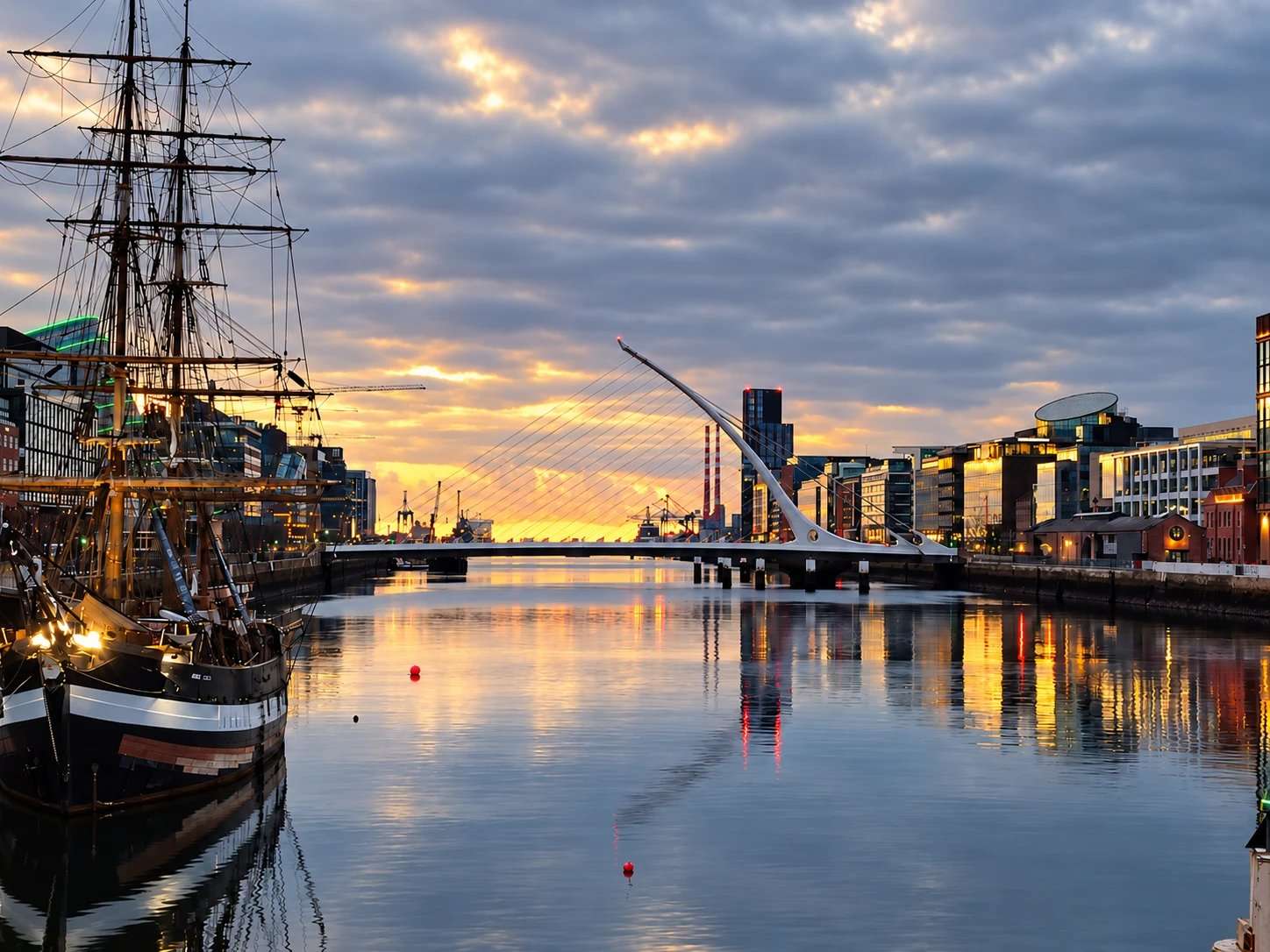
View the curved pylon and cables from the quay as well as from the bridge itself.
attraction · County Dublin
A modern Liffey crossing whose harp-like form helps explain the changing Docklands skyline.
Source-based editorial assessment · out of 10
The harp-like crossing and Docklands skyline provide a strong view of modern Dublin. Its appeal is architecture and the wider walk rather than a ticketed attraction.
A flexible outdoor stop, but walking distance and exposed quays add effort. Check your chosen crossings and onward transport instead of treating the whole Docklands as one short stop.
Best for: Modern architecture and riverside photography
Planning blend: 8.0 / 10 · Sustainability: unrated
Experience considers the reward and depth of this particular stop. Visitor friendliness considers practical ease: arrival, booking, physical demands, cost and flexibility. These are editorial judgements based on linked information, not visitor averages or a claim of a personal visit.
Assessed . Supporting guide source-check date: 2026-10-15. The assessment date does not mean every linked source was newly checked.
The blend uses (40 × Experience + 55 × Visitor friendliness) ÷ 95, rounded to the nearest half point. Missing sustainability does not affect it. A missing current visit score is not zero and has no blend.
A high score is not a safety clearance or a guarantee of step-free access. Food-stop scores concern the planned visit, not an untested meal. Read the scale and scope · Suggest a correction.
From research
Choose it for architecture and a flexible riverside walk. It is a working bridge shared with traffic and cycles, not an enclosed sightseeing attraction.
Before you go: The bridge can rotate for maritime traffic and may close during scheduled openings. Check the council schedule if a crossing is essential to your route.
Place highlights
View the curved pylon and cables from the quay as well as from the bridge itself.
Crossing connects Guild Street on the north side with Sir John Rogerson’s Quay on the south.
The story behind the visit
Samuel Beckett Bridge was designed to be recognisably modern at Dublin’s maritime gateway. Dublin City Council commissioned Santiago Calatrava’s cable-stayed structure, which opened to traffic in 2009. Its curved pylon and cables evoke a harp, but it is more than a symbol: it connects the two riverbanks for ordinary journeys. Looking from the quay lets you see the whole form, while crossing reveals how the landmark functions at street level. Source ↗
The bridge’s ability to rotate preserves a relationship with river traffic that a static skyline photograph cannot show. A scheduled opening may therefore be interesting to witness from a permitted place, but it can also interrupt a planned crossing. Do not build a tight walking connection around an assumption that it is always available. A broader Docklands walk works best with time to notice both the new architecture and the working river, leaving room for a different crossing if notices or local conditions require one. Source ↗
Dated visitor information
Use Guild Street for the north-bank approach or Sir John Rogerson’s Quay for the south. Follow the current pedestrian crossings and bridge signs. Official visitor information ↗
Source information checked 15 October 2026; confirm current access and visitor arrangements with the operator.
The cable-stayed design deliberately evokes that shape, according to the official visitor information. Source ↗
Yes. It rotates to allow maritime passage, with temporary restrictions during openings. Source ↗
No. This page suggests a self-directed architecture stop and riverside walk, not a booked tour. Source ↗
Nearby options
Distances are straight-line estimates between catalogue pins, within 30 km. Roads, entrances and walking routes may be much longer. Known closed places are excluded; inclusion does not confirm opening today.
heritage · 0.3 km
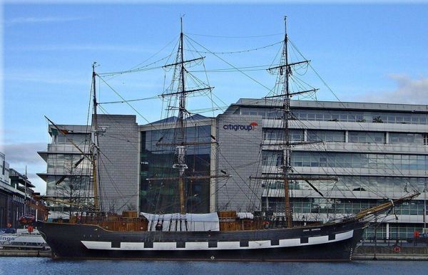
Board a replica emigrant ship for a guided account of the people who crossed the Atlantic during the Great Famine. The physical setting makes a useful companion to EPIC’s broader migration story.
Open place page →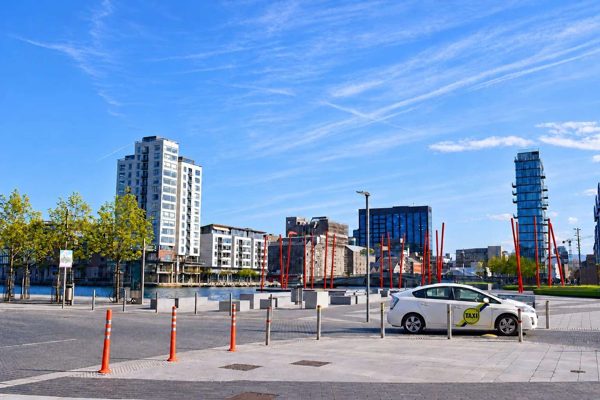
attraction · 0.4 km
A designed waterfront square where bold paving, planting and theatre architecture meet Grand Canal Dock.
Open place page →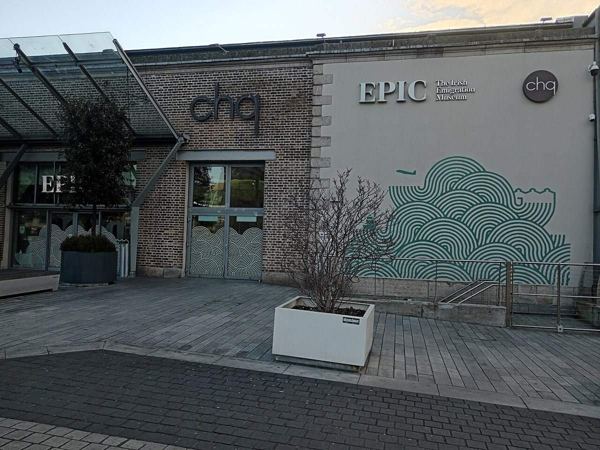
heritage · 0.6 km
EPIC explores Irish emigration through interactive galleries in the CHQ building. It follows the reasons people left and the cultural, scientific and social influence of lives built abroad.
Open place page →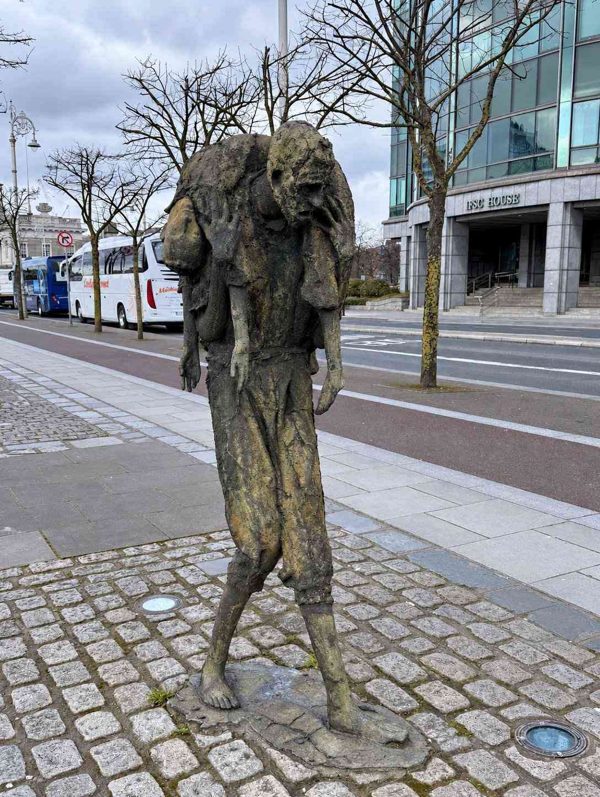
attraction · 0.6 km
Rowan Gillespie’s public sculpture on Custom House Quay, a place for reflection on famine and emigration.
Open place page →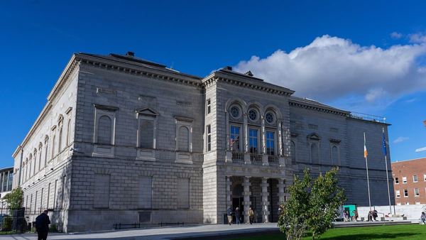
heritage · 1.0 km
The National Gallery makes a free art stop in central Dublin, with Irish paintings alongside European works by Caravaggio, Vermeer and others. A small route gives you time to look closely; a ticketed temporary…
Open place page →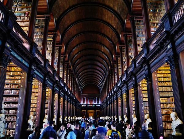
heritage · 1.1 km
See a 1,200-year-old illuminated manuscript, walk through the Old Library's Long Room and decide whether the newer digital exhibition is worth adding to your Dublin day.
Open place page →A visitor notices the harp-like outline of the bridge, while a nearby bridge account recommends the changing river views towards it. The useful choice is to walk along the quays and see the structure from more than one angle, rather than cross it once and assume you have seen the whole setting.
Original paraphrases of public visitor accounts. These are limited perspectives, not a representative survey or a claim of our own visit. Use current operator information for access and opening.
Location & access
Suggested visit allowance: about 60 minutes. Allow additional time for transfers and breaks.
53.34700, -6.24130 · Reference point; confirm the correct entrance and access. Map © OpenStreetMap contributors.
Source-based place brief. A catalogue reference is not a live availability check or a report of a personal visit.
Visitor details checked 15 October 2026. Page content updated 2026-10-15.