Harbour outlook
Look back towards the town as well as out into the bay.
coast · Dublin
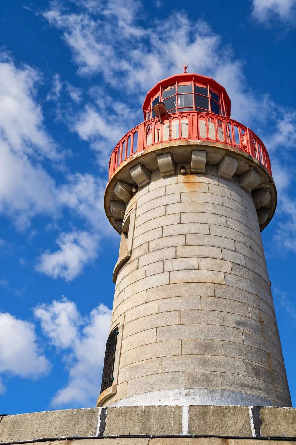
An out-and-back harbour walk on Dún Laoghaire’s East Pier, with views across the boats and bay.
Source-based editorial assessment · out of 10
The East Pier pairs harbour engineering with changing views across boats, town and bay. Its straightforward shape rewards either a short section or the full return.
DART access to Dún Laoghaire and optional turning points simplify planning. The pier remains an exposed out-and-back route; check weather and harbour notices before setting out.
Best for: An adaptable harbour walk from a coastal town
Planning blend: 8.0 / 10 · Sustainability: unrated
Experience considers the reward and depth of this particular stop. Visitor friendliness considers practical ease: arrival, booking, physical demands, cost and flexibility. These are editorial judgements based on linked information, not visitor averages or a claim of a personal visit.
Assessed . Supporting guide source-check date: 15 October 2026. The assessment date does not mean every linked source was newly checked.
The blend uses (40 × Experience + 55 × Visitor friendliness) ÷ 95, rounded to the nearest half point. Missing sustainability does not affect it. A missing current visit score is not zero and has no blend.
A high score is not a safety clearance or a guarantee of step-free access. Food-stop scores concern the planned visit, not an untested meal. Read the scale and scope · Suggest a correction.
From research
Choose it for an adaptable coastal stroll near the town. An exposed pier is a poor choice when wind, waves or your group’s mobility make the return uncomfortable.
Before you go: Check harbour notices and weather; obey barriers and avoid the exposed edge. This guide does not promise lighthouse interior access.
Place highlights
Look back towards the town as well as out into the bay.
Notice the stonework and harbour engineering along the walk.
You can return before the end; reaching the lighthouse is optional.
The story behind the visit
Dún Laoghaire’s harbour is more than a scenic outline on the bay. Its nineteenth-century construction created shelter for vessels, and the East Pier forms one side of that engineered enclosure. The scale is easier to appreciate from the pier itself: look across to the other harbour structures and back towards the town to understand how the parts fit together. Source ↗
For today’s visitor, that infrastructure also provides a simple walking experience. The enclosed water on one side and the wider bay beyond offer different views along the same route. Keep the plan modest in unsettled weather, since the return follows the same exposed line. A short section can be enough for a worthwhile pause between other town stops. If pairing the pier with food or an ice cream, check the actual outlet you intend to use rather than assuming every business near the harbour shares the same hours. The harbour remains a working maritime space, so respect restricted areas and operational signs. Source ↗
Dated visitor information
The harbour is beside Dún Laoghaire DART station. Council harbour pay-and-display is €2/hour, minimum €2, operating 09:00–20:00 daily; individual car parks have separate discounted tariffs. Official visitor information ↗
Source information checked 15 October 2026; confirm current access and visitor arrangements with the operator.
No. Choose East Pier in your directions; the harbour has two separate piers. Source ↗
No. The East Pier walk returns along the same pier. Source ↗
Interior visitor access is not established by this guide. Source ↗
Nearby options
Distances are straight-line estimates between catalogue pins, within 30 km. Roads, entrances and walking routes may be much longer. Known closed places are excluded; inclusion does not confirm opening today.
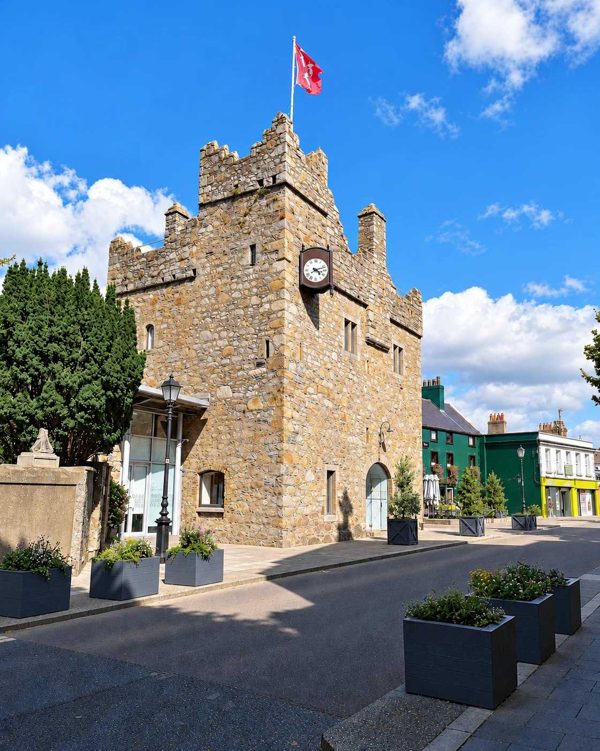
heritage · 3.1 km
A small medieval townhouse castle where a guided tour uses actors, history and literary interpretation.
Open place page →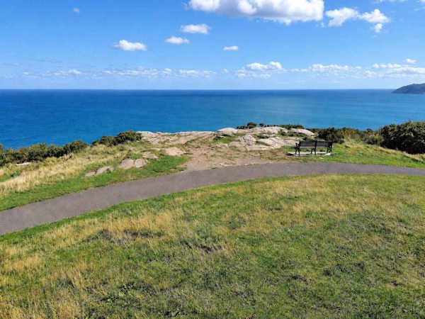
nature · 5.0 km
A wooded climb to the obelisk and coastal views above Dalkey and Killiney.
Open place page →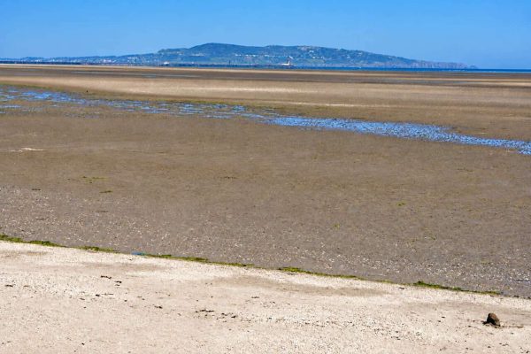
coast · 6.0 km
A broad tidal strand and coastal promenade on the south side of Dublin Bay.
Open place page →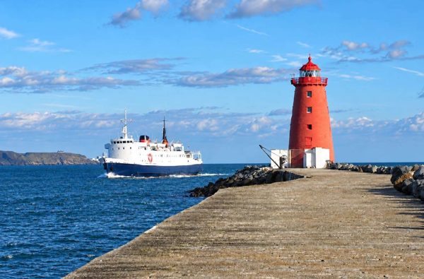
coast · 6.2 km
An exposed harbour-wall walk towards the red Poolbeg Lighthouse, with shipping and bay views.
Open place page →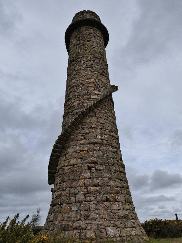
nature · 7.4 km
A woodland walk linking an industrial chimney with a separate hilltop viewpoint.
Open place page →
coast · 7.8 km
Dollymount’s beach, dunes and protected wildlife habitats form a very different side of Dublin’s urban coast.
Open place page →Public visitors describe the out-and-back to the lighthouse as the point of the East Pier walk, with the bandstand and harbour along the way. Another notes busy weekends. Leave the return in your plan rather than think of the end as an onward route; vendor references in old accounts do not promise today’s refreshments.
Original paraphrases of public visitor accounts. These are limited perspectives, not a representative survey or a claim of our own visit. Use current operator information for access and opening.
Location & access
Check harbour notices and weather; obey barriers and avoid the exposed edge. This guide does not promise lighthouse interior access.
53.30200, -6.12400 · Reference point; confirm the correct entrance and access. Map © OpenStreetMap contributors.
Source-based place brief. A catalogue reference is not a live availability check or a report of a personal visit.
Visitor details checked 15 October 2026. Page content updated 2026-10-21.