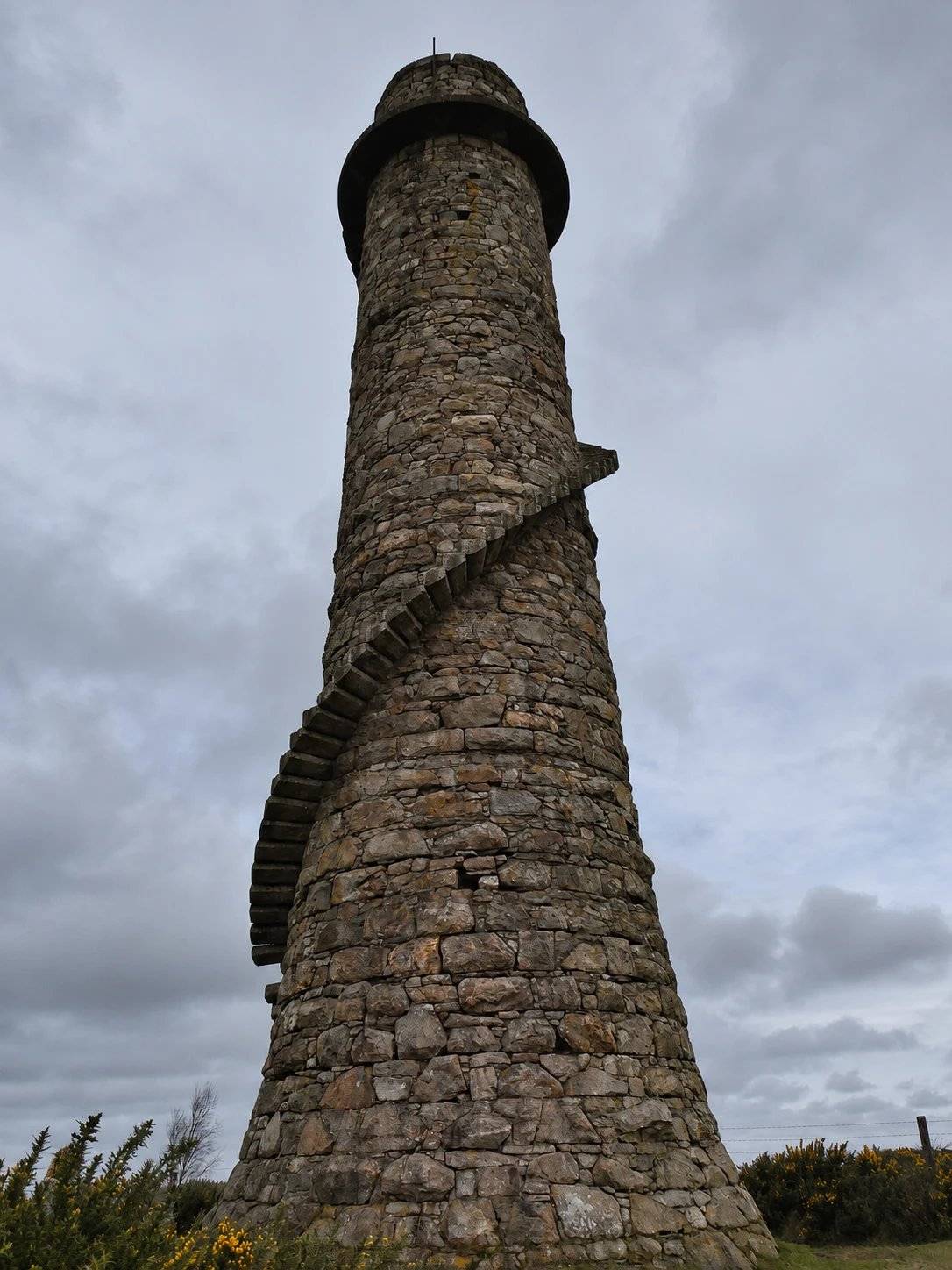
Lead-mine chimney
The tall chimney records the area’s former lead-mining and smelting industry.
nature · Dublin
A woodland walk linking an industrial chimney with a separate hilltop viewpoint.
Source-based editorial assessment · out of 10
The lead-mine chimney adds industrial history to a woodland walk, while a separate summit spur offers a second landscape experience rather than repeating the forest route.
Marked trails help, but choose between the chimney route and additional climb. Official distance discrepancies, forest notices and car-park closing times make a map check worthwhile.
Best for: Woodland and industrial heritage
Planning blend: 7.0 / 10 · Sustainability: unrated
Experience considers the reward and depth of this particular stop. Visitor friendliness considers practical ease: arrival, booking, physical demands, cost and flexibility. These are editorial judgements based on linked information, not visitor averages or a claim of a personal visit.
Assessed . Supporting guide source-check date: 15 October 2026. The assessment date does not mean every linked source was newly checked.
The blend uses (40 × Experience + 55 × Visitor friendliness) ÷ 95, rounded to the nearest half point. Missing sustainability does not affect it. A missing current visit score is not zero and has no blend.
A high score is not a safety clearance or a guarantee of step-free access. Food-stop scores concern the planned visit, not an untested meal. Read the scale and scope · Suggest a correction.
From research
Choose the Lead Mines Way for the chimney-focused forest route; add the summit spur only if the climb and conditions suit you.
Before you go: The chimney is a surviving industrial feature, not an invitation to enter mine workings. Use the marked trails and respect any forestry closures.
Place highlights
The tall chimney records the area’s former lead-mining and smelting industry.
A separate spur climbs to an exposed outlook over south Dublin and north Wicklow.
The story behind the visit
The chimney at Carrickgollogan is easy to mistake for an isolated curiosity. Coillte and Dublin Mountains Partnership connect it with Ballycorus lead mining and smelting, which operated from the early nineteenth century into the twentieth. Seen in that context, it is a remnant of a working industrial landscape rather than a decorative woodland tower. A walk here can therefore connect two very different uses of the same ground: extracting and processing material, and present-day recreation. Source ↗
The other focus is the viewing rock on Carrickgollogan Hill. It changes the experience from enclosed woodland to open outlook, but it should be treated as a separate route choice. The forest loop and summit spur have different grades, and an exposed rock is not a necessary goal on a wet or windy day. Read the map before starting, follow the waymarks and give forestry operations space. The combination works best when the chimney’s history and the hill’s wider landscape each receive attention, rather than becoming two pins to tick off. Source ↗
Dated visitor information
Use the Carrickgollogan forest car park off Barnaslingan Lane; the chimney pin is not the road entrance. Official visitor information ↗
Source information checked 15 October 2026; confirm current access and visitor arrangements with the operator.
No. The chimney and viewing rock are separate features linked by the trail network. Source ↗
This guide covers marked recreational trails, not access to mine workings. Source ↗
No. The Lead Mines Way and mountain spur are distinct choices; choose according to ability and conditions. Source ↗
Nearby options
Distances are straight-line estimates between catalogue pins, within 30 km. Roads, entrances and walking routes may be much longer. Known closed places are excluded; inclusion does not confirm opening today.
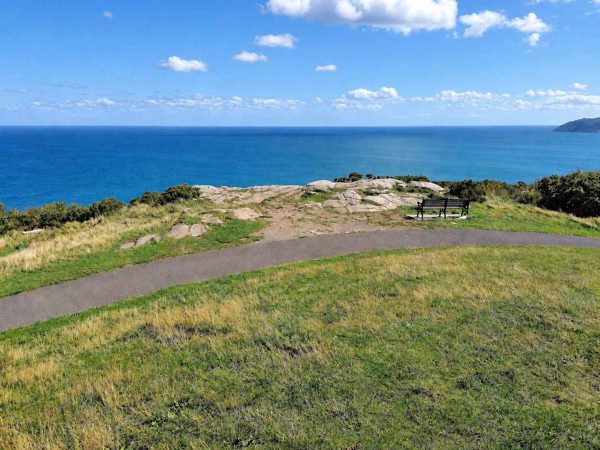
nature · 3.2 km
A wooded climb to the obelisk and coastal views above Dalkey and Killiney.
Open place page →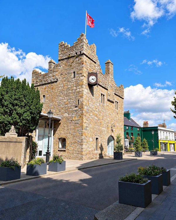
heritage · 5.4 km
A small medieval townhouse castle where a guided tour uses actors, history and literary interpretation.
Open place page →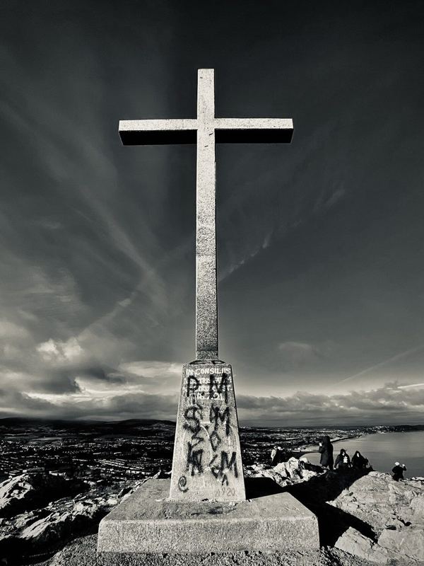
nature · 6.0 km
A hill walk from Bray’s seafront to the cross, with coastal views and a distinct route from the closed through Cliff Walk.
Open place page →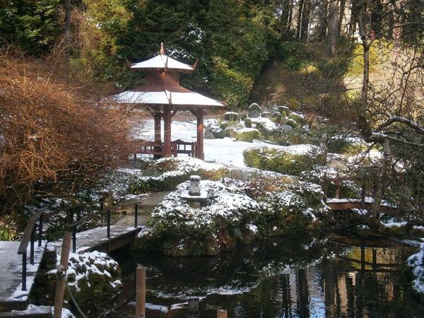
heritage · 6.5 km
Italian terraces, a Japanese garden and wooded corners make Powerscourt a garden visit with a mountain backdrop.
Open place page →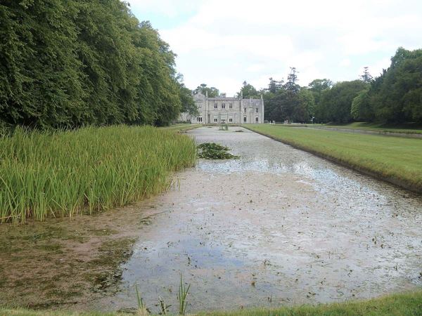
heritage · 6.5 km
Formal gardens, long ponds and a working estate on Bray’s edge, with house tours booked separately.
Open place page →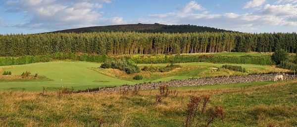
nature · 7.1 km
Forest trails, granite outcrops and an upland cairn above Dublin, reached from Ticknock.
Open place page →One public walker enjoys the forest loop and the chimney as a landmark, even choosing extra laps rather than a longer onward route. That supports a modest woodland outing with industrial-history interest. Old comments about parking and surfaces should not be used as guarantees, and the account does not grant access inside mining remains.
Original paraphrases of public visitor accounts. These are limited perspectives, not a representative survey or a claim of our own visit. Use current operator information for access and opening.
Location & access
The chimney is a surviving industrial feature, not an invitation to enter mine workings. Use the marked trails and respect any forestry closures.
53.23600, -6.14300 · Reference point; confirm the correct entrance and access. Map © OpenStreetMap contributors.
Source-based place brief. A catalogue reference is not a live availability check or a report of a personal visit.
Visitor details checked 15 October 2026. Page content updated 2026-10-15.