Obelisk
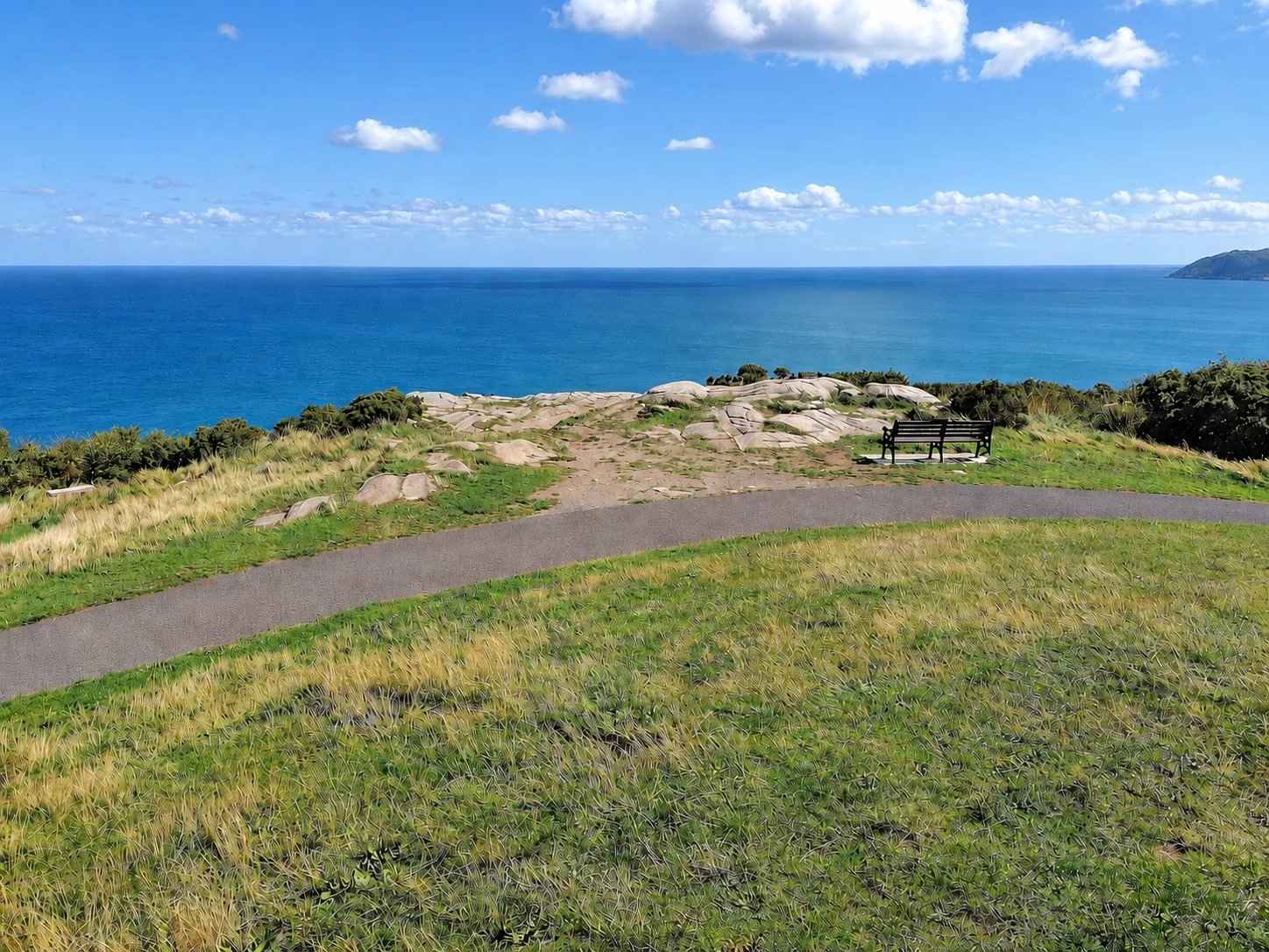
The tall monument marks the highest part of the park and gives the walk a clear destination.
nature · Dublin
A wooded climb to the obelisk and coastal views above Dalkey and Killiney.
Source-based editorial assessment · out of 10
A wooded climb, the obelisk and the coastal outlook create a compact but varied hill outing, with a strong reward for visitors who want scenery near Dalkey.
The climb and exposed summit need suitable footwear and conditions. Pick an established approach, allow for gradients and keep the visit shorter if wind or visibility deteriorates.
Best for: Coastal views with a climb
Planning blend: 7.5 / 10 · Sustainability: unrated
Experience considers the reward and depth of this particular stop. Visitor friendliness considers practical ease: arrival, booking, physical demands, cost and flexibility. These are editorial judgements based on linked information, not visitor averages or a claim of a personal visit.
Assessed . Supporting guide source-check date: 15 October 2026. The assessment date does not mean every linked source was newly checked.
The blend uses (40 × Experience + 55 × Visitor friendliness) ÷ 95, rounded to the nearest half point. Missing sustainability does not affect it. A missing current visit score is not zero and has no blend.
A high score is not a safety clearance or a guarantee of step-free access. Food-stop scores concern the planned visit, not an untested meal. Read the scale and scope · Suggest a correction.
From research
Choose it for a hilltop outlook close to the coast. The climb and uneven sections mean that proximity to the city does not make every path a step-free stroll.
Before you go: The summit is exposed and viewpoints depend on visibility. Stay on established paths, particularly around steep ground and the nearby quarry landscape.
Place highlights
The tall monument marks the highest part of the park and gives the walk a clear destination.
Look at the change from tree cover to open hilltop rather than treating the ascent only as a race to the view.
The story behind the visit
Killiney Hill is a useful place to understand the coastline in one view. The council’s nature trail leads through woodland to the obelisk, then invites visitors to read the landscape outward: the south Dublin shore, Bray Head and the Wicklow Mountains. That sequence matters. Trees limit the view during the approach, and the open hilltop makes the relationship between sea, settlement and higher ground easier to see. Good visibility helps, but it is never a booking guarantee. Source ↗
The park also belongs to a wider Dalkey landscape of walking routes, roads and former industry. Visit Dublin describes paths that can be combined with the village and coast, but combining them is optional. A focused hill visit may be the better choice when time, weather or energy is limited. Use a proper path and leave the exposed or steep ground to those equipped for it. The obelisk provides a simple meeting target; it does not make every possible approach suitable for every visitor. Source ↗
Dated visitor information
Dalkey station is a useful starting point for a village-and-hill outing, but there is an uphill onward walk. Check the specific park entrance you plan to use. Official visitor information ↗
Source information checked 15 October 2026; confirm current access and visitor arrangements with the operator.
No. Reaching the hilltop involves a climb; choose a different coastal stop if that does not suit your group. Source ↗
The council trail identifies the bay, Bray Head and Wicklow Mountains, subject to visibility. Source ↗
No. The park can be a focused visit without extending around the coast. Source ↗
Nearby options
Distances are straight-line estimates between catalogue pins, within 30 km. Roads, entrances and walking routes may be much longer. Known closed places are excluded; inclusion does not confirm opening today.
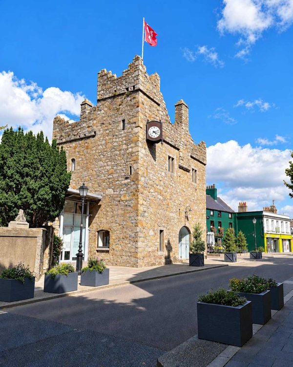
heritage · 2.3 km
A small medieval townhouse castle where a guided tour uses actors, history and literary interpretation.
Open place page →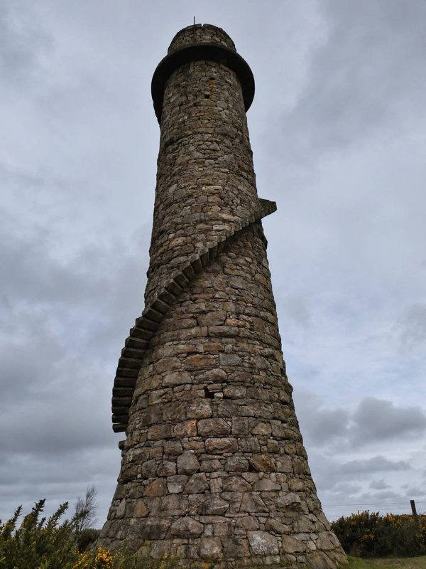
nature · 3.2 km
A woodland walk linking an industrial chimney with a separate hilltop viewpoint.
Open place page →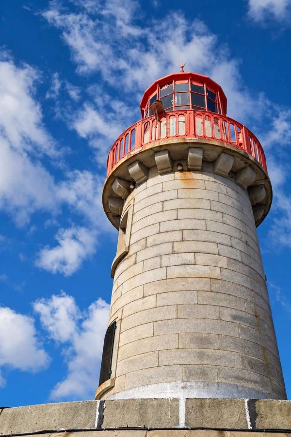
coast · 5.0 km
An out-and-back harbour walk on Dún Laoghaire’s East Pier, with views across the boats and bay.
Open place page →
nature · 7.6 km
A hill walk from Bray’s seafront to the cross, with coastal views and a distinct route from the closed through Cliff Walk.
Open place page →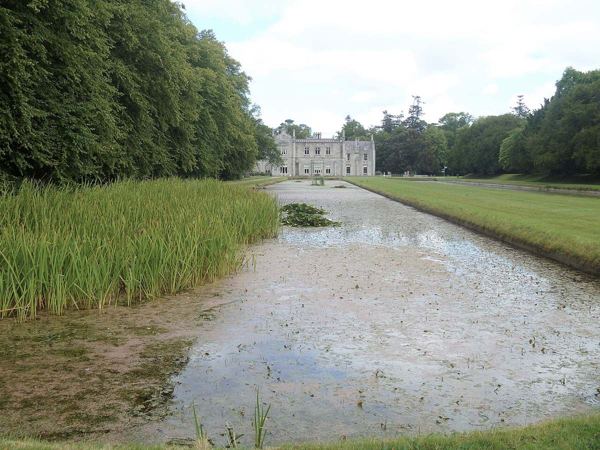
heritage · 8.3 km
Formal gardens, long ponds and a working estate on Bray’s edge, with house tours booked separately.
Open place page →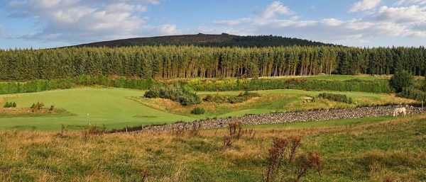
nature · 9.0 km
Forest trails, granite outcrops and an upland cairn above Dublin, reached from Ticknock.
Open place page →An accessible visitor who walked up from Dalkey values the coast views and the everyday mix of walkers, runners and dogs. That makes the park a good town-and-hill combination, but also shows that getting there can be part of the effort. Personal descriptions do not establish a step-free approach or current crowd levels.
Original paraphrases of public visitor accounts. These are limited perspectives, not a representative survey or a claim of our own visit. Use current operator information for access and opening.
Location & access
The summit is exposed and viewpoints depend on visibility. Stay on established paths, particularly around steep ground and the nearby quarry landscape.
53.25800, -6.11200 · Reference point; confirm the correct entrance and access. Map © OpenStreetMap contributors.
Source-based place brief. A catalogue reference is not a live availability check or a report of a personal visit.
Visitor details checked 15 October 2026. Page content updated 2026-10-15.