Take the lower circuit on its own terms
Big Rock and Atlantic views give the blue route a destination without requiring a summit extension.
Ireland / Visitor guide
Diamond Hill has different marked walk choices in Connemara National Park near Letterfrack. The park classifies Lower Diamond Hill as moderate and Upper Diamond Hill as strenuous. Choose a route deliberately; the lower option is not a promise of an easy walk.
By Nick · Published · Updated . Source-based visitor brief; not a report of a personal visit.
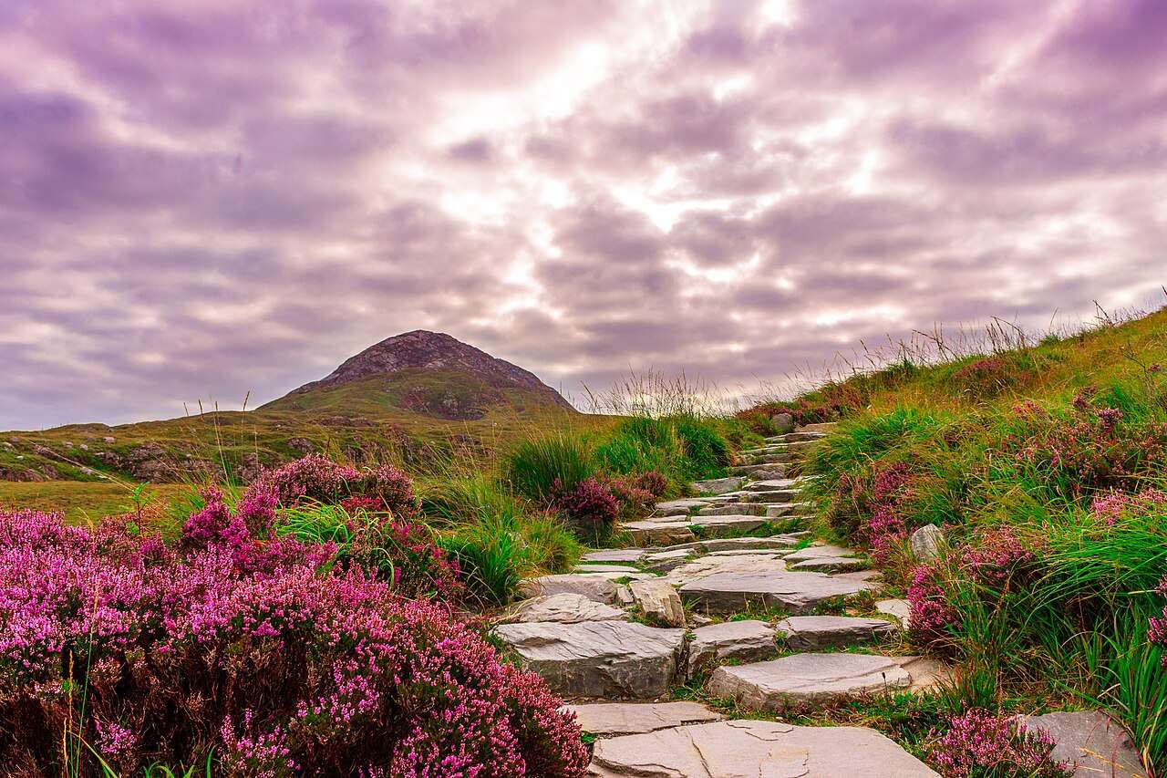
The park says its marked trails are accessed from the visitor centre near Letterfrack. The atlas pin marks that area, not the summit or an exact trail entrance. Use the park’s trail map and on-site guidance for the walk itself.
The official descriptions distinguish a lower blue route from a strenuous red route to the summit. Consult the park’s current map for the full route, terrain and how sections connect. No walking completion time or driving estimate is calculated on this page.
Use the official map to agree whether your group is choosing Lower Diamond Hill or the more demanding Upper Diamond Hill option. Do not assume that choosing the visitor-centre pin commits everyone to a summit walk. For a group with different preferences, establish a meeting point and discuss a visitor-centre-based alternative before separating; check current information for what is open. If the published grade, weather or preparation does not suit the whole group, choose another activity rather than using this page as reassurance that the route will be manageable.
Read current park notices and the weather forecast before setting out. Ask at the visitor centre if the route choice is unclear. Exploring beyond the marked paths is a separate undertaking; do not use this visitor brief as an off-trail navigation guide.
Use Connemara National Park’s visitor centre near Letterfrack as the starting area, rather than navigating to a summit pin. The park says each marked trail is accessed from the centre and provides a downloadable trail map. Read that map before agreeing the walk with your group; colour labels identify specific routes, not a general permission to explore every hillside. Check visitor information for current opening and access arrangements, and confirm any public-transport return with the operator. Keep travel and walking plans separate: this page supplies no road duration, parking guarantee or total outing time.
The park also describes the Ellis Wood and Sruffaunboy trails, alongside Lower and Upper Diamond Hill. Those named alternatives let a group discuss a shorter outing without treating the upper route as compulsory. Read each route’s terrain description as well as its grade: steps, gravel and boardwalk can matter more to an individual visitor than the label alone. Check current weather and park notices, then choose the activity that suits the least comfortable member of your group. If you want to separate into different walks, agree where and when to meet and establish what is open at that meeting point.
The pin marks the park visitor-centre area, not the summit or a trail entrance. Check the official trail grades, weather and park notices before walking.
Open approximate destination point ↗ · Explore on the Ireland map →
The links below support this guide. Visitor context reviewed 2 October 2026. Confirm live access, facilities and opening information before travelling.
Source-based editorial assessment · out of 10
Check route-specific park notices before walking. Older official notices include upper-trail closures; the general trail description is not a dated reopening confirmation.
The upper hill offers a distinctive mountain-and-coast panorama when conditions allow. The summit walk and the lower trails are different experiences; this score concerns the walking landscape.
The upper route is officially strenuous, with stone, gravel and boardwalk terrain. Arrange the Letterfrack journey and check route-specific closures and weather before committing; the score does not confirm access today.
Best for: Prepared walkers choosing a mountain outing
Planning blend: 6.5 / 10 · Sustainability: unrated
Experience considers the reward and depth of this particular stop. Visitor friendliness considers practical ease: arrival, booking, physical demands, cost and flexibility. These are editorial judgements based on linked information, not visitor averages or a claim of a personal visit.
Assessed . Supporting guide source-check date: 2026-10-19. The assessment date does not mean every linked source was newly checked.
The blend uses (40 × Experience + 55 × Visitor friendliness) ÷ 95, rounded to the nearest half point. Missing sustainability does not affect it. A missing current visit score is not zero and has no blend.
A high score is not a safety clearance or a guarantee of step-free access. Food-stop scores concern the planned visit, not an untested meal. Read the scale and scope · Suggest a correction.
From research
It is a strong choice when you want a proper walk rather than a roadside panorama. Pick the route for your group and leave the upper section for suitable weather and ability.
Before you go: Check weather and park notices. NPWS says the grounds close during orange and red weather warnings.
Place highlights
Big Rock and Atlantic views give the blue route a destination without requiring a summit extension.
The strenuous red route adds the higher panorama towards the Twelve Bens and Kylemore Abbey.
The story behind the visit
The lower trail gives a distinct walk without committing to the summit: its blue-marked circuit follows old bog road, steps and boardwalk to Big Rock, with views towards the Atlantic. NPWS grades this 3 km route moderate. The red upper route is graded strenuous and reaches the summit for views towards the Twelve Bens and Kylemore Abbey. Choose between those experiences before the climb; a maintained path does not make the upper route an easy walk. Beyond these named trails, NPWS describes demanding ground without formal paths, suited to experienced hikers with map-and-compass skills. Source ↗
The surrounding park contains bog, heath, grassland, woodland and mountain terrain, and opened to the public in 1980. Its lands include former parts of the Kylemore estate and Letterfrack Industrial School, so this landscape also carries a history of ownership and use. The marked walk is a contained introduction to that wider place. Source ↗
Dated visitor information
Start at the national park visitor-centre trailhead near Letterfrack and follow the official route map. Allow for the descent and daylight, not just the climb. Official visitor information ↗
Source information checked 19 October 2026; confirm current access and visitor arrangements with the operator.
No. Choose the lower route if it better matches your group or the conditions. Do not extend the walk simply to complete a checklist. Source ↗
Nearby options
Distances are straight-line estimates between catalogue pins, within 30 km. Roads, entrances and walking routes may be much longer. Known closed places are excluded; inclusion does not confirm opening today.
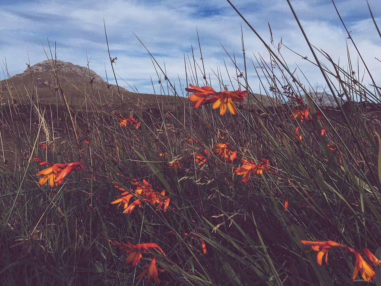
nature · 0.0 km
Choose a woodland wander, bogland views or a mountain trail from the national park entrance near Letterfrack.
Open place page →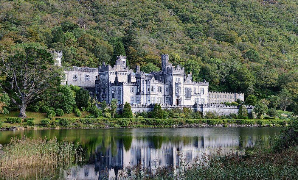
heritage · 3.7 km
Kylemore’s lakeside façade is the photograph, but it is not the whole visit. The restored public rooms, small Gothic church and separate walled garden show different ambitions: a private estate, a place of…
Open place page →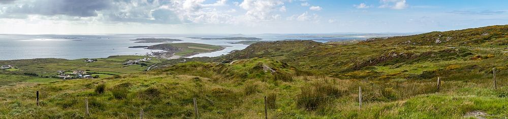
coast · 11.1 km
The Sky Road climbs away from Clifden into a view of bays, small islands and the Connemara coastline. Its reward is the widening perspective, not a single building at the end. It suits a clear-weather pause…
Open place page →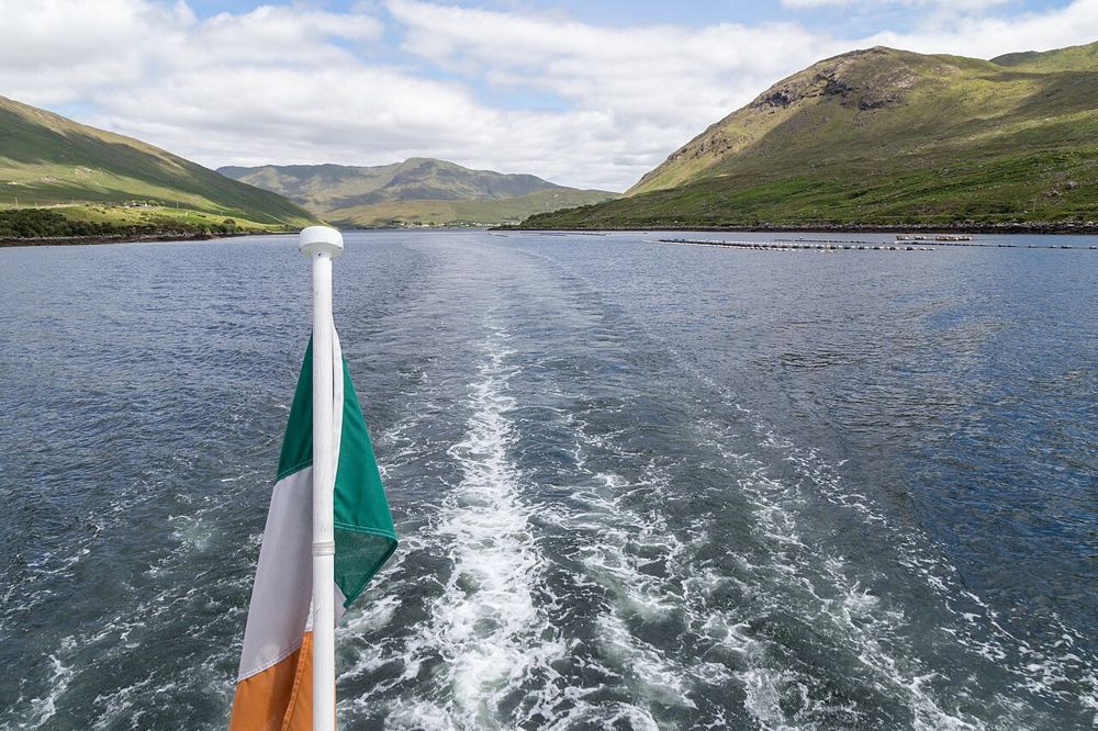
nature · 17.1 km
Killary’s long inlet gives north Connemara a different kind of coastline: mountain slopes frame a narrow strip of water, and the view changes as you move along its southern shore. You can appreciate the…
Open place page →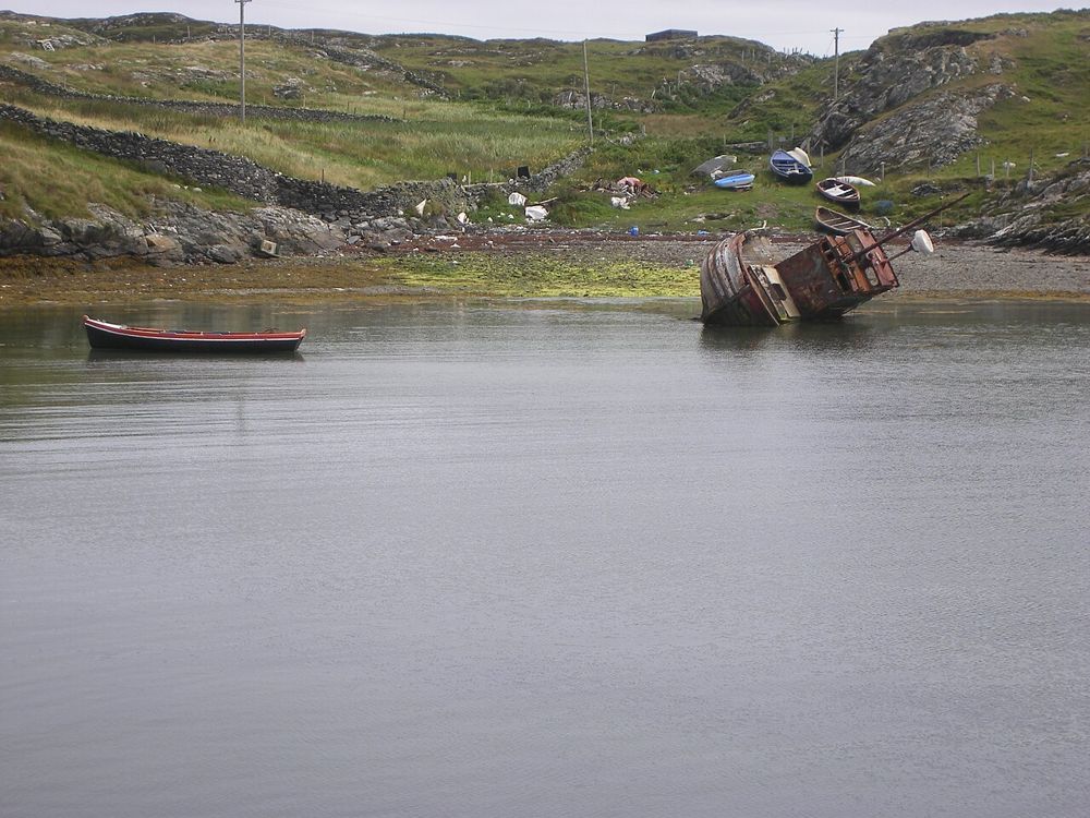
coast · 19.4 km
Inishbofin begins with a crossing from Cleggan and rewards arriving with a small plan. Harbour life, island lanes and coastal walks provide enough interest without trying to march around every edge. This is a…
Open place page →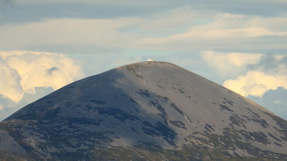
nature · 29.8 km
Croagh Patrick rises above Clew Bay with a history that matters to many people before they take a step uphill. Some come as pilgrims, others for the mountain and the view. Either way, a climb is a substantial…
Open place page →Public walking accounts distinguish the lower loop from the more demanding summit route and appreciate the landscape gained with height. Their personal completion times vary, so the useful advice is the route choice: the lower walk is a valid outing, while the upper trail needs a separate decision about conditions and ability.
Original paraphrases of public visitor accounts. These are limited perspectives, not a representative survey or a claim of our own visit. Use current operator information for access and opening.
From Nick’s editing desk
By Nikhil (Nick) · Editorial notes updated . Researched interpretation of the park's visitor and trail information; not a firsthand trail condition report.
I built the Diamond Hill brief around choosing a route, because the destination name alone can hide an important difference in effort. The lower and upper walks are not simply two versions of the same easy outing. The National Park's grades belong at the beginning of the decision, before a summit photograph becomes the group's shared expectation. These notes explain my researched planning approach; they do not report a walk I have personally inspected or establish the condition of the path today.
The visitor-centre area near Letterfrack gives you a named starting context, rather than treating the summit as the arrival point. Use the park's current map to understand how the marked sections connect and where your intended walk begins. I would agree the specific route before leaving that area, so that everyone knows whether the day is about a lower-level outing or a more strenuous climb. An approximate atlas point cannot supply that agreement or replace the official trail information.
In a mixed group, talk about ability and preference without making the highest point the measure of a successful day. Someone who wants a shorter walk should have a workable plan for returning or waiting, with a meeting arrangement understood by everyone. Check what visitor facilities are actually open before relying on them. A group decision made in advance is easier to manage than an improvised split after some people are already tired or the weather has started to change.
Conditions matter as well as the published grade. Read current notices and the relevant forecast, carry the equipment and information appropriate to the selected outing and keep a clear turnaround decision. A lower route labelled moderate still deserves preparation; it should not become an automatic fallback simply because the upper route sounds harder. If the official description or the conditions do not fit the people travelling, choose another activity rather than treating a short online guide as reassurance that the walk will be manageable.
I would keep Diamond Hill as the main walking subject of its part of the day, leaving food, transport and the return journey enough space around it. The broader Connemara itinerary can be adjusted once the walking choice is sound. Use the links below for the park's own visitor information and compare them with the exact plan you intend. The purpose of this brief is to make that next step clearer, so that the route you choose belongs to your group rather than to somebody else's photograph.