Upper-road outlook
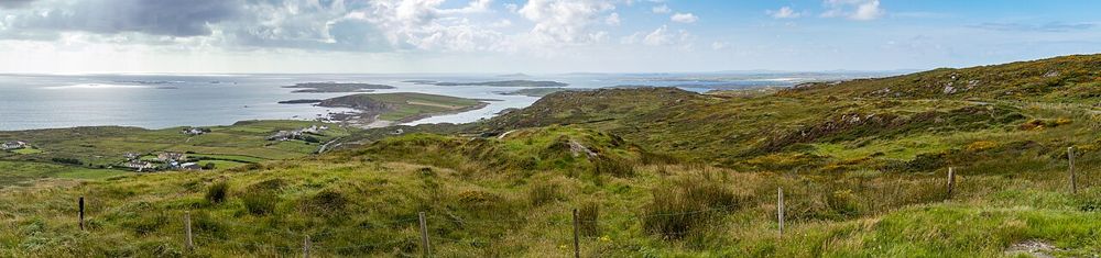
The higher route provides the broad perspective commonly associated with the Sky Road. Use a designated viewpoint rather than trying to recreate photographs from a bend.
coast · Galway
The Sky Road climbs away from Clifden into a view of bays, small islands and the Connemara coastline. Its reward is the widening perspective, not a single building at the end. It suits a clear-weather pause around Clifden when you have enough patience for a narrow local road and can stop only where permitted.
Source-based editorial assessment · out of 10
Choose it if coastal views are the point of the outing and conditions let you see them. On a foggy day, a town or heritage visit may give more back than driving a scenic loop simply to tick it off.
This is a road route with upper and lower alternatives, not a continuous segregated walking trail. Road width, traffic and stopping places deserve attention.
Best for: Upper-road outlook
Planning blend: 7.0 / 10 · Sustainability: unrated
Experience considers the reward and depth of this particular stop. Visitor friendliness considers practical ease: arrival, booking, physical demands, cost and flexibility. These are editorial judgements based on linked information, not visitor averages or a claim of a personal visit.
Assessed . Supporting guide source-check date: 2026-10-19. The assessment date does not mean every linked source was newly checked.
The blend uses (40 × Experience + 55 × Visitor friendliness) ÷ 95, rounded to the nearest half point. Missing sustainability does not affect it. A missing current visit score is not zero and has no blend.
A high score is not a safety clearance or a guarantee of step-free access. Food-stop scores concern the planned visit, not an untested meal. Read the scale and scope · Suggest a correction.
From research
Choose it if coastal views are the point of the outing and conditions let you see them. On a foggy day, a town or heritage visit may give more back than driving a scenic loop simply to tick it off.
Know before you book: This is a road route with upper and lower alternatives, not a continuous segregated walking trail. Road width, traffic and stopping places deserve attention.
Place highlights
The higher route provides the broad perspective commonly associated with the Sky Road. Use a designated viewpoint rather than trying to recreate photographs from a bend.
Notice the sheltered bays and scattered islands below. A few quiet minutes looking at the geography can be more rewarding than adding another loop to the drive.
The story behind the visit
Clifden’s coastal setting becomes clearer from above: roads and settlements occupy the narrow land between hills and water. The Sky Road is a modern touring experience through that living landscape, not an attraction detached from local traffic and homes. Source ↗
Dated visitor information
Begin from Clifden and follow signed Sky Road directions. The approximate point marks the viewing area; use designated legal parking and keep passing places clear. Official visitor information ↗
Source information checked 19 October 2026; confirm current access and visitor arrangements with the operator.
It is principally a scenic road route. Walking beside traffic requires separate route planning; this guide does not describe an off-road footpath. Source ↗
The upper route is associated with the broad elevated outlook. Check current road directions and choose a route suited to conditions and your vehicle. Source ↗
Nearby options
Distances are straight-line estimates between catalogue pins, within 30 km. Roads, entrances and walking routes may be much longer. Known closed places are excluded; inclusion does not confirm opening today.
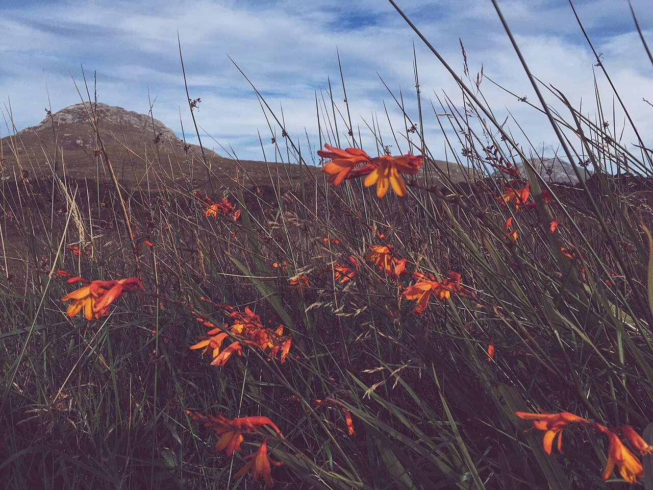
nature · 11.1 km
Choose a woodland wander, bogland views or a mountain trail from the national park entrance near Letterfrack.
Open place page →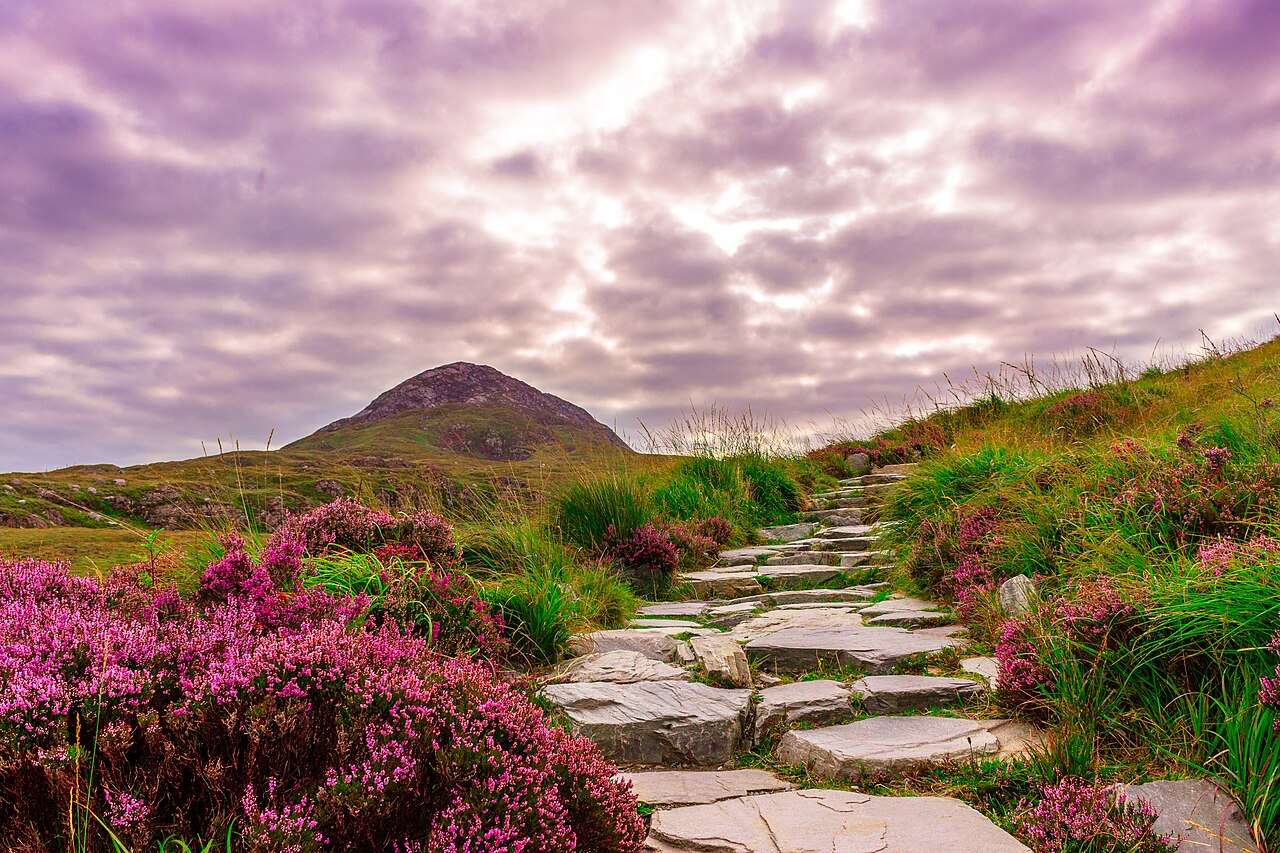
nature · 11.1 km
Diamond Hill offers a clearly defined way into Connemara’s upland landscape, with lower and upper walking options that should be chosen for the day’s conditions.
Open place page →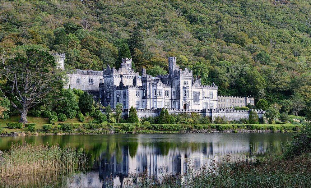
heritage · 14.7 km
Kylemore’s lakeside façade is the photograph, but it is not the whole visit. The restored public rooms, small Gothic church and separate walled garden show different ambitions: a private estate, a place of…
Open place page →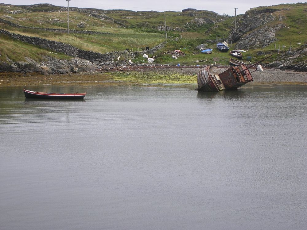
coast · 16.7 km
Inishbofin begins with a crossing from Cleggan and rewards arriving with a small plan. Harbour life, island lanes and coastal walks provide enough interest without trying to march around every edge. This is a…
Open place page →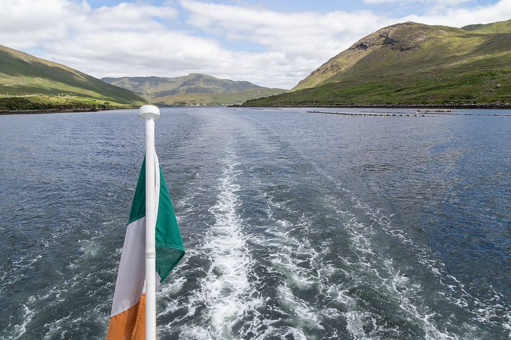
nature · 27.8 km
Killary’s long inlet gives north Connemara a different kind of coastline: mountain slopes frame a narrow strip of water, and the view changes as you move along its southern shore. You can appreciate the…
Open place page →The accessible independent guide stresses the upper/lower-road choice and the care needed on narrow sections. Public review excerpts also describe returning to Clifden through a coastal loop. This limited evidence supports route preparation, not a guarantee of quiet roads or clear views.
Original paraphrases of public visitor accounts. These are limited perspectives, not a representative survey or a claim of our own visit. Use current operator information for access and opening.
Location & access
This is a road route with upper and lower alternatives, not a continuous segregated walking trail. Road width, traffic and stopping places deserve attention.
53.49200, -10.07800 · Reference point; confirm the correct entrance and access. Map © OpenStreetMap contributors.
Source-based place brief. A catalogue reference is not a live availability check or a report of a personal visit.
Visitor details checked 19 October 2026. Page content updated 2026-10-20.