Four marked walks
Compare Ellis Wood, Sruffaunboy, Lower Diamond and Upper Diamond on the official trail map.
nature · Galway
Choose a woodland wander, bogland views or a mountain trail from the national park entrance near Letterfrack.
Source-based editorial assessment · out of 10
Bog, woodland and mountain scenery make the park a strong landscape outing, with different marked walks to choose from. This assesses the Letterfrack park visit, not all Connemara.
Free entry and shorter trail choices help, but the journey from Galway city needs a separate plan. Visitor-centre days, weather warnings and current trail notices can change the outing.
Best for: A separate County Galway nature day
Planning blend: 7.5 / 10 · Sustainability: unrated
Experience considers the reward and depth of this particular stop. Visitor friendliness considers practical ease: arrival, booking, physical demands, cost and flexibility. These are editorial judgements based on linked information, not visitor averages or a claim of a personal visit.
Assessed . Supporting guide source-check date: 2026-10-19. The assessment date does not mean every linked source was newly checked.
The blend uses (40 × Experience + 55 × Visitor friendliness) ÷ 95, rounded to the nearest half point. Missing sustainability does not affect it. A missing current visit score is not zero and has no blend.
A high score is not a safety clearance or a guarantee of step-free access. Food-stop scores concern the planned visit, not an untested meal. Read the scale and scope · Suggest a correction.
From research
Make this a separate County Galway nature day. Start with the kind of walk your group wants, then arrange the outward and return journey. A visit to the park can be rewarding without reaching Diamond Hill’s summit.
Before you go: Visitor-centre opening differs from access to the park. Check current park notices and the weather before leaving Galway.
Place highlights
Compare Ellis Wood, Sruffaunboy, Lower Diamond and Upper Diamond on the official trail map.
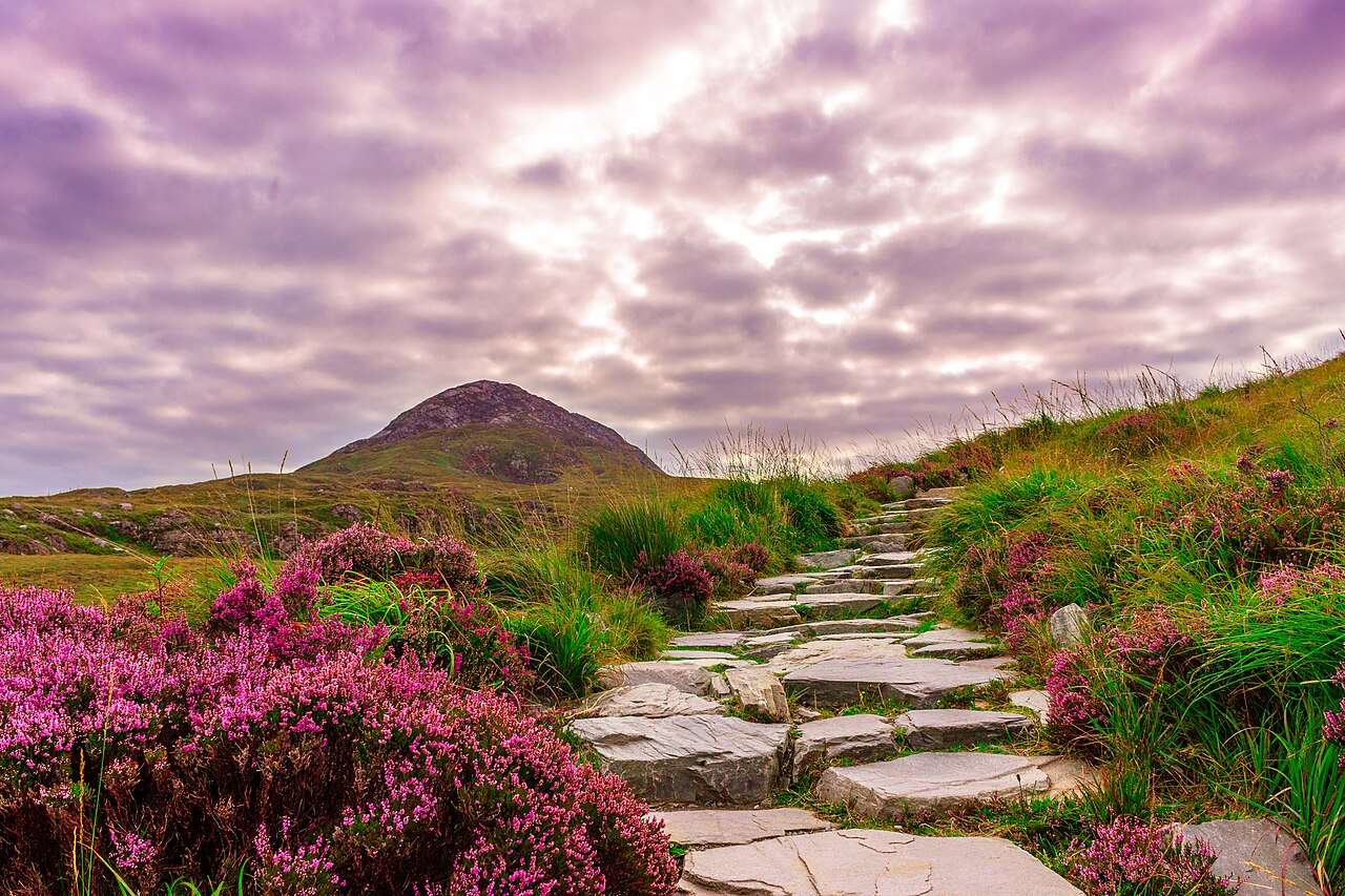
Look for woodland detail on a shorter walk and the wider bog-and-mountain setting from higher paths.
The story behind the visit
Letterfrack is the useful starting point for understanding this park. The marked walks give visitors a choice between woodland, lower slopes and Diamond Hill. That choice matters more than collecting a summit photograph: a short route leaves time to notice vegetation and changing views, while the upper route needs a different level of preparation. Source ↗
Choose the walk before deciding how much else to put into the day. Keep the return connection, daylight and weather margin visible in your plan. If the hill is clouded in or conditions change, a shorter marked walk can be a complete outing. The wider Connemara region is much larger than this park entrance, so nearby-looking map labels can still require another journey. Source ↗
Dated visitor information
Main entranceLetterfrack/N 59; buses 419,423 and Citylink 923 listed; check current timetables. Official visitor information ↗
Source information checked 19 October 2026; confirm current access and visitor arrangements with the operator.
No. The official map includes shorter woodland and lower-level walks. Source ↗
No. Arrange a separate journey to Letterfrack and leave time for your chosen walk. Source ↗
Its current schedule excludes ordinary Mondays and Tuesdays. Check notices for your date. Source ↗
Nearby options
Distances are straight-line estimates between catalogue pins, within 30 km. Roads, entrances and walking routes may be much longer. Known closed places are excluded; inclusion does not confirm opening today.
nature · 0.0 km
Diamond Hill offers a clearly defined way into Connemara’s upland landscape, with lower and upper walking options that should be chosen for the day’s conditions.
Open place page →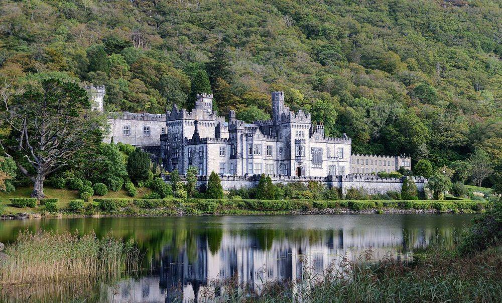
heritage · 3.7 km
Kylemore’s lakeside façade is the photograph, but it is not the whole visit. The restored public rooms, small Gothic church and separate walled garden show different ambitions: a private estate, a place of…
Open place page →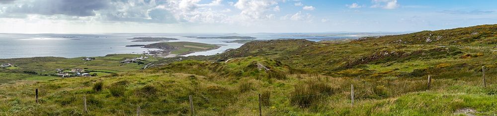
coast · 11.1 km
The Sky Road climbs away from Clifden into a view of bays, small islands and the Connemara coastline. Its reward is the widening perspective, not a single building at the end. It suits a clear-weather pause…
Open place page →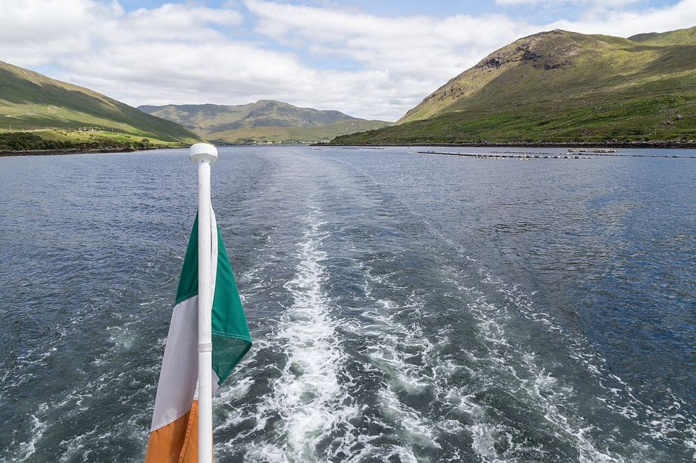
nature · 17.1 km
Killary’s long inlet gives north Connemara a different kind of coastline: mountain slopes frame a narrow strip of water, and the view changes as you move along its southern shore. You can appreciate the…
Open place page →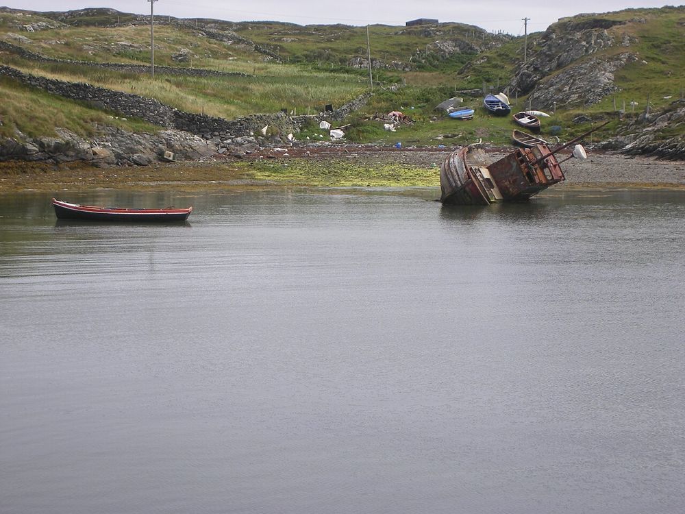
coast · 19.4 km
Inishbofin begins with a crossing from Cleggan and rewards arriving with a small plan. Harbour life, island lanes and coastal walks provide enough interest without trying to march around every edge. This is a…
Open place page →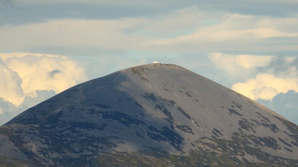
nature · 29.8 km
Croagh Patrick rises above Clew Bay with a history that matters to many people before they take a step uphill. Some come as pilgrims, others for the mountain and the view. Either way, a climb is a substantial…
Open place page →Accessible visitor accounts value the choice of marked walks from the visitor centre and the stronger views gained on the upper Diamond Hill route. The same accounts describe real climbing effort. That supports choosing a trail for the group rather than treating a positive summit review as a requirement to take the upper loop.
Original paraphrases of public visitor accounts. These are limited perspectives, not a representative survey or a claim of our own visit. Use current operator information for access and opening.
Location & access
Visitor-centre opening differs from access to the park. Check current park notices and the weather before leaving Galway.
53.55140, -9.94360 · Reference point; confirm the correct entrance and access. Map © OpenStreetMap contributors.
Source-based place brief. A catalogue reference is not a live availability check or a report of a personal visit.
Visitor details checked 19 October 2026. Page content updated 2026-10-20.