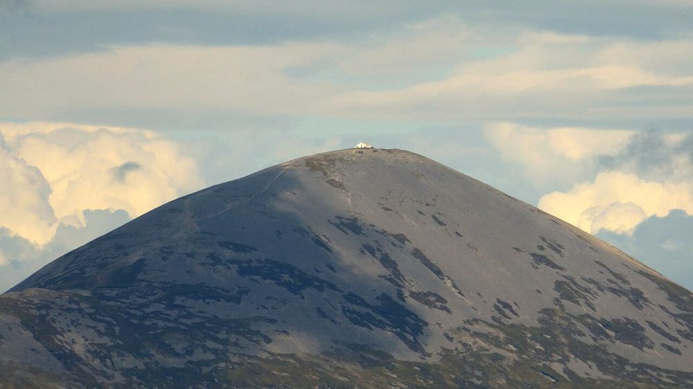
Mountain profile from Murrisk
Start by looking at the route and the height above the village. The full shape helps put both the physical effort and the pilgrimage tradition into perspective.
nature · Mayo
Croagh Patrick rises above Clew Bay with a history that matters to many people before they take a step uphill. Some come as pilgrims, others for the mountain and the view. Either way, a climb is a substantial part of the day. You can also appreciate its setting from Murrisk without committing to the summit.
Source-based editorial assessment · out of 10
Choose a climb only when your group’s fitness, preparation and the forecast support it. A lower-level heritage visit is a worthwhile alternative; reaching the summit is not necessary to give the mountain a place in your Mayo trip.
This is an exposed mountain route across privately owned working land. Facilities at the base do not turn the climb into a managed sightseeing walkway.
Best for: Mountain profile from Murrisk
Planning blend: 7.0 / 10 · Sustainability: unrated
Experience considers the reward and depth of this particular stop. Visitor friendliness considers practical ease: arrival, booking, physical demands, cost and flexibility. These are editorial judgements based on linked information, not visitor averages or a claim of a personal visit.
Assessed . Supporting guide source-check date: 2026-10-19. The assessment date does not mean every linked source was newly checked.
The blend uses (40 × Experience + 55 × Visitor friendliness) ÷ 95, rounded to the nearest half point. Missing sustainability does not affect it. A missing current visit score is not zero and has no blend.
A high score is not a safety clearance or a guarantee of step-free access. Food-stop scores concern the planned visit, not an untested meal. Read the scale and scope · Suggest a correction.
From research
Choose a climb only when your group’s fitness, preparation and the forecast support it. A lower-level heritage visit is a worthwhile alternative; reaching the summit is not necessary to give the mountain a place in your Mayo trip.
Know before you book: This is an exposed mountain route across privately owned working land. Facilities at the base do not turn the climb into a managed sightseeing walkway.
Place highlights
Start by looking at the route and the height above the village. The full shape helps put both the physical effort and the pilgrimage tradition into perspective.
In suitable visibility the bay gives the climb its broad geographical reward. Cloud may remove that view, so the decision cannot depend on a guaranteed panorama.
The story behind the visit
The mountain has long been associated with St Patrick and pilgrimage. The modern practice carries religious, personal and communal meaning; respect those uses rather than treating other climbers merely as scenery in a summit photograph. Source ↗
Dated visitor information
The usual visitor approach is from Murrisk west of Westport. Use authorised parking and confirm the chosen starting point; the mountain pin is not a vehicle destination. Official visitor information ↗
Source information checked 19 October 2026; confirm current access and visitor arrangements with the operator.
No. Murrisk and the mountain’s setting allow a lower-level visit. Decide on the climb separately from the rest of the sightseeing day. Source ↗
No. Weather and visibility can change quickly, and safe conditions matter more than completing a photographed route. Source ↗
Nearby options
Distances are straight-line estimates between catalogue pins, within 30 km. Roads, entrances and walking routes may be much longer. Known closed places are excluded; inclusion does not confirm opening today.
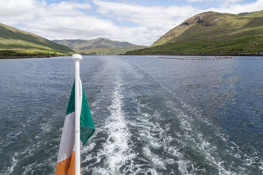
nature · 18.2 km
Killary’s long inlet gives north Connemara a different kind of coastline: mountain slopes frame a narrow strip of water, and the view changes as you move along its southern shore. You can appreciate the…
Open place page →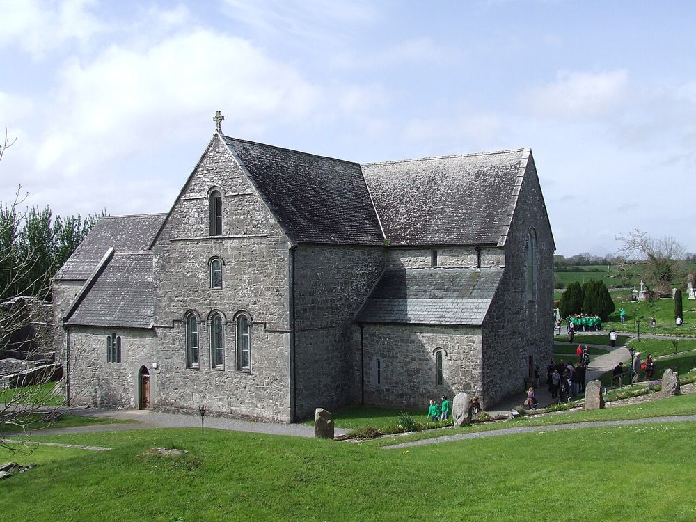
heritage · 24.9 km
Ballintubber is a living church as well as an old abbey, and that changes the way to visit. The building, cloister remains and grounds reward quiet attention, while worship and local use continue around them.…
Open place page →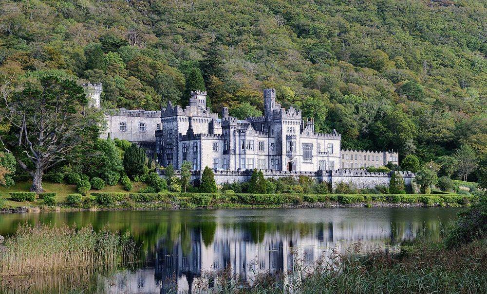
heritage · 26.7 km
Kylemore’s lakeside façade is the photograph, but it is not the whole visit. The restored public rooms, small Gothic church and separate walled garden show different ambitions: a private estate, a place of…
Open place page →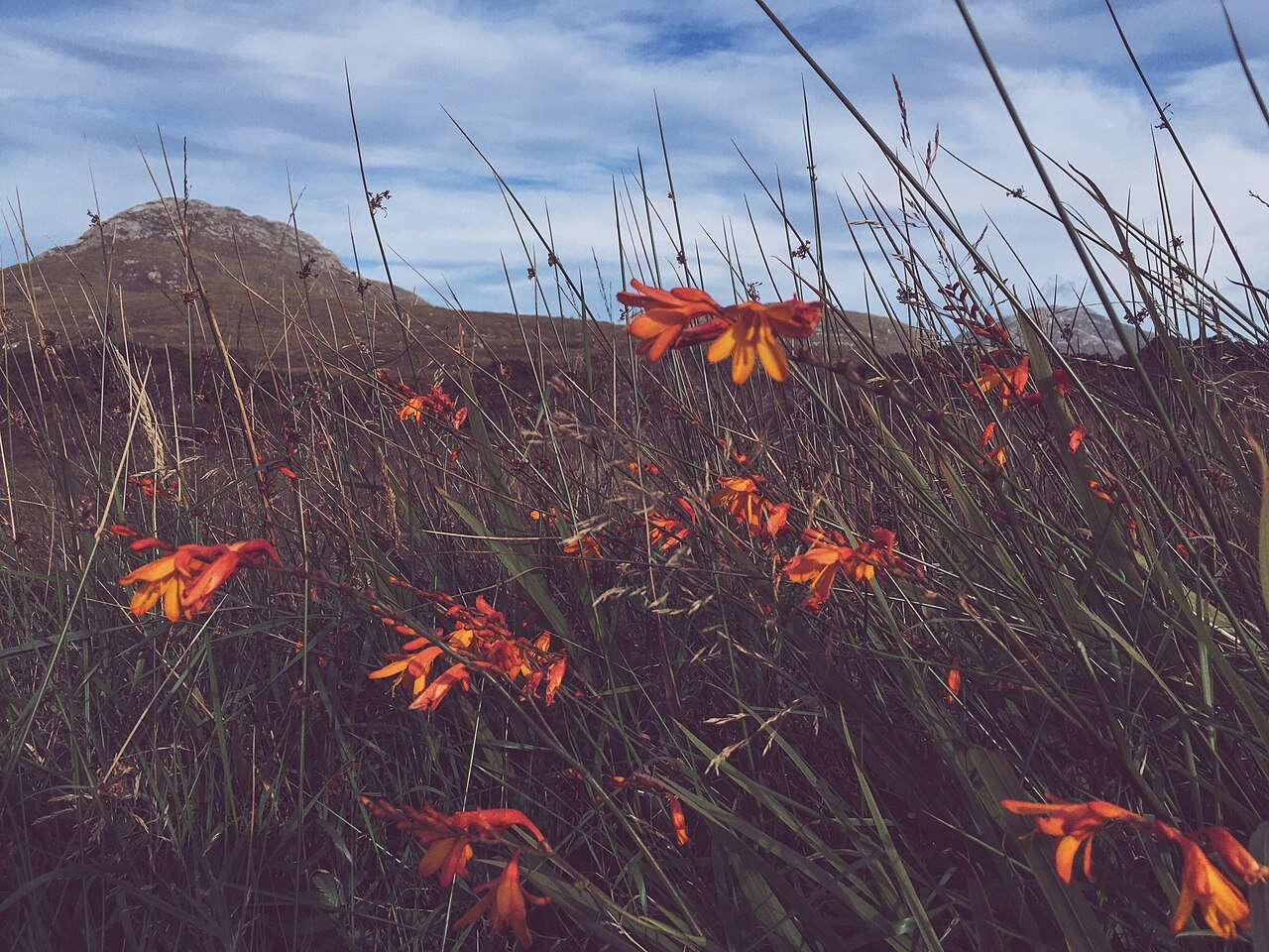
nature · 29.8 km
Choose a woodland wander, bogland views or a mountain trail from the national park entrance near Letterfrack.
Open place page →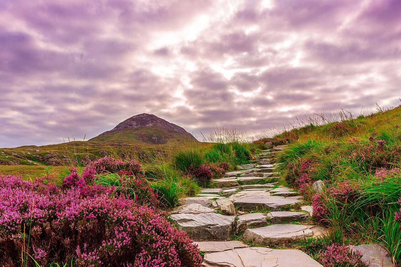
nature · 29.8 km
Diamond Hill offers a clearly defined way into Connemara’s upland landscape, with lower and upper walking options that should be chosen for the day’s conditions.
Open place page →The parish publishes individual pilgrim accounts describing a strong sense of achievement and personal significance. These are selected testimony, not a fitness or safety assessment. They explain why people choose the climb without establishing that it suits every traveller.
Original paraphrases of public visitor accounts. These are limited perspectives, not a representative survey or a claim of our own visit. Use current operator information for access and opening.
Location & access
This is an exposed mountain route across privately owned working land. Facilities at the base do not turn the climb into a managed sightseeing walkway.
53.75980, -9.65940 · Reference point; confirm the correct entrance and access. Map © OpenStreetMap contributors.
Source-based place brief. A catalogue reference is not a live availability check or a report of a personal visit.
Visitor details checked 19 October 2026. Page content updated 2026-10-20.