Mountain-framed inlet
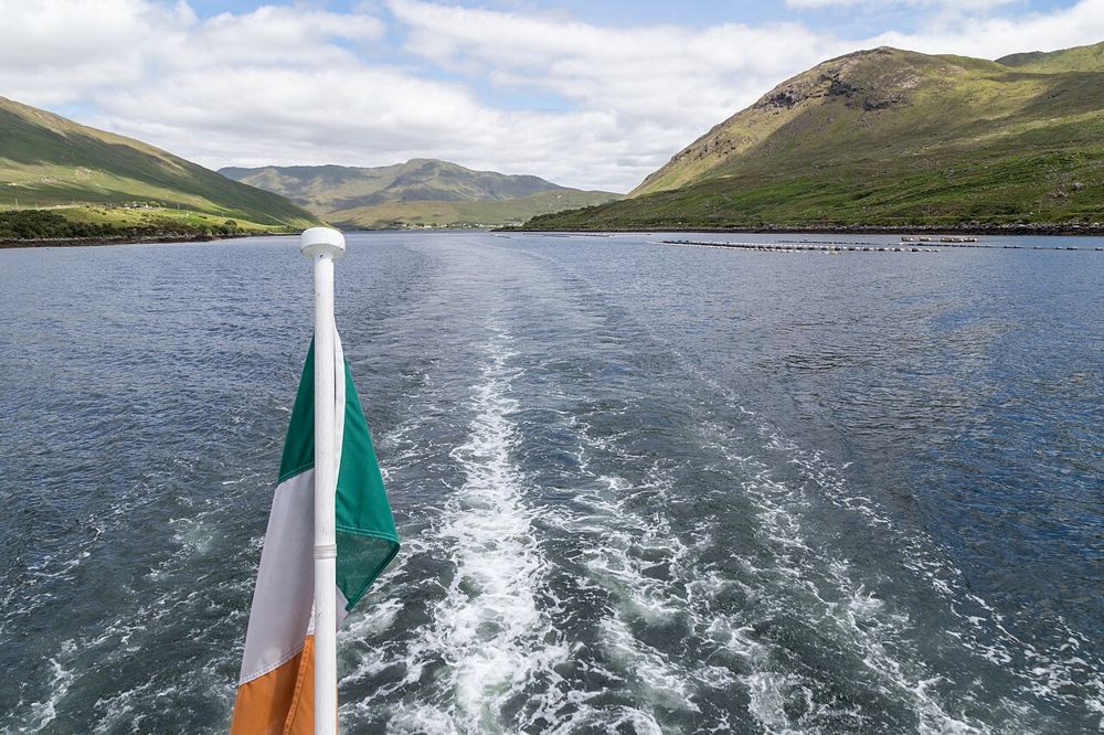
Look along the water as well as across it. The long shape reveals how the terrain channels travel, settlement and marine activity.
nature · Galway
Killary’s long inlet gives north Connemara a different kind of coastline: mountain slopes frame a narrow strip of water, and the view changes as you move along its southern shore. You can appreciate the landscape from authorised shore stops or choose a managed cruise. They are different ways to spend the day, not compulsory stages of one visit.
Source-based editorial assessment · out of 10
Choose the harbour for landscape and a slower break around Leenane. A cruise adds water-level views and commentary; if you prefer to set your own pace, a smaller shore-based outing may be the better use of time.
The inlet lies along the Galway–Mayo boundary. This guide’s arrival point is on the Galway side; cruise boarding is at Nancy’s Point, not in the centre of Leenane.
Best for: Mountain-framed inlet
Planning blend: 7.5 / 10 · Sustainability: unrated
Experience considers the reward and depth of this particular stop. Visitor friendliness considers practical ease: arrival, booking, physical demands, cost and flexibility. These are editorial judgements based on linked information, not visitor averages or a claim of a personal visit.
Assessed . Supporting guide source-check date: 2026-10-19. The assessment date does not mean every linked source was newly checked.
The blend uses (40 × Experience + 55 × Visitor friendliness) ÷ 95, rounded to the nearest half point. Missing sustainability does not affect it. A missing current visit score is not zero and has no blend.
A high score is not a safety clearance or a guarantee of step-free access. Food-stop scores concern the planned visit, not an untested meal. Read the scale and scope · Suggest a correction.
From research
Choose the harbour for landscape and a slower break around Leenane. A cruise adds water-level views and commentary; if you prefer to set your own pace, a smaller shore-based outing may be the better use of time.
Know before you book: The inlet lies along the Galway–Mayo boundary. This guide’s arrival point is on the Galway side; cruise boarding is at Nancy’s Point, not in the centre of Leenane.
Place highlights
Look along the water as well as across it. The long shape reveals how the terrain channels travel, settlement and marine activity.
A managed boat trip supplies a different angle and historical commentary. Check the actual departure schedule rather than arriving at the nearest visible pier.
The story behind the visit
Killary’s glacial landscape is also a working place. Marine farming, settlements and older travel routes belong to the view, which is more interesting when read as occupied terrain than as an empty wilderness scene. Source ↗
Dated visitor information
Use Leenane for orientation. For the boat, follow the operator’s directions to Nancy’s Point on the southern shore; for a shore visit, choose a legal arrival separately. Official visitor information ↗
Source information checked 19 October 2026; confirm current access and visitor arrangements with the operator.
No. The shore also offers views. Choose a cruise if the water-level perspective and commentary are worth a fixed departure in your day. Source ↗
The operator boards at Nancy’s Point west of the village. Check the exact check-in location before travelling. Source ↗
Nearby options
Distances are straight-line estimates between catalogue pins, within 30 km. Roads, entrances and walking routes may be much longer. Known closed places are excluded; inclusion does not confirm opening today.
heritage · 13.4 km
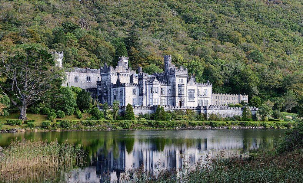
Kylemore’s lakeside façade is the photograph, but it is not the whole visit. The restored public rooms, small Gothic church and separate walled garden show different ambitions: a private estate, a place of…
Open place page →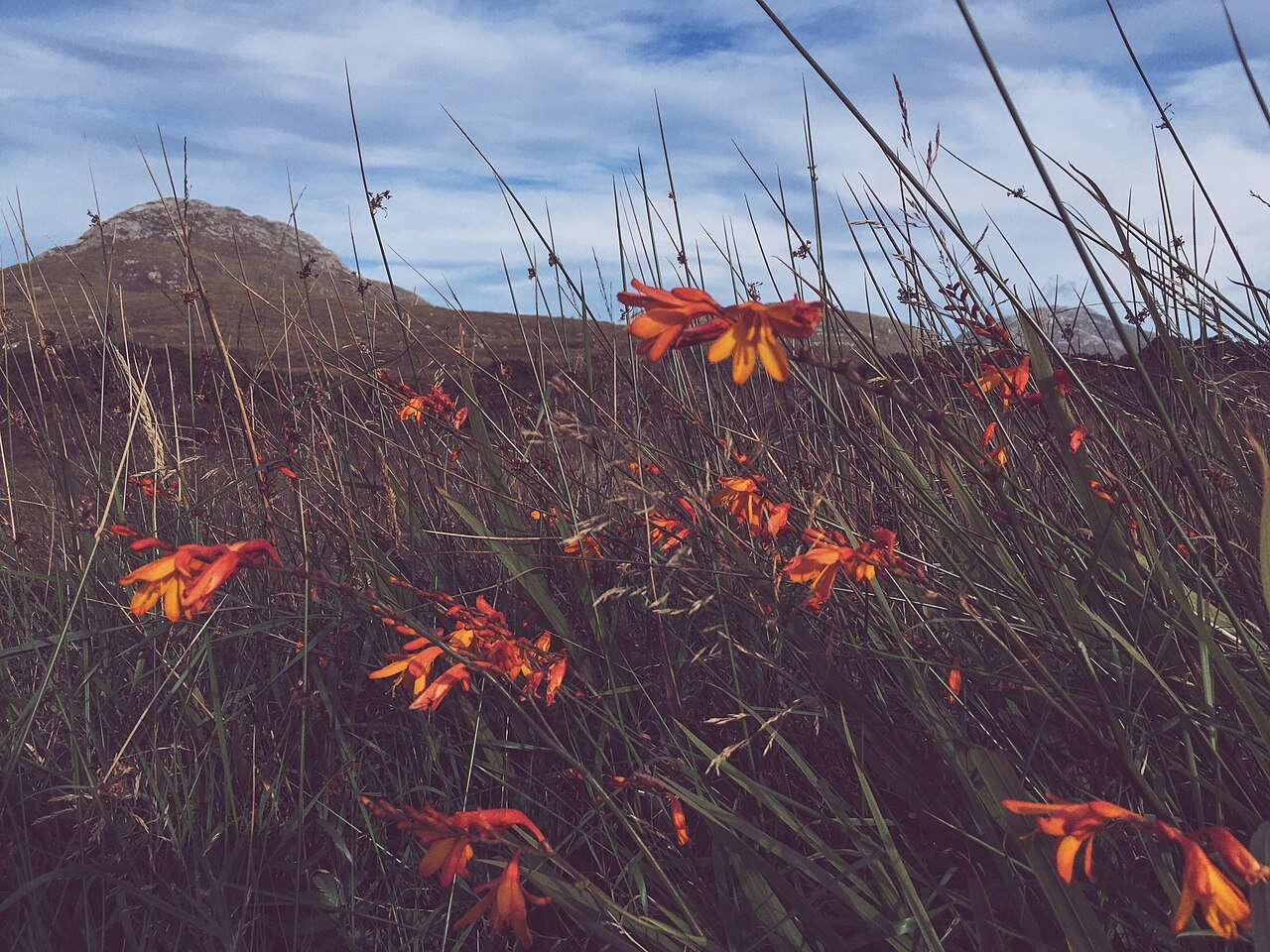
nature · 17.1 km
Choose a woodland wander, bogland views or a mountain trail from the national park entrance near Letterfrack.
Open place page →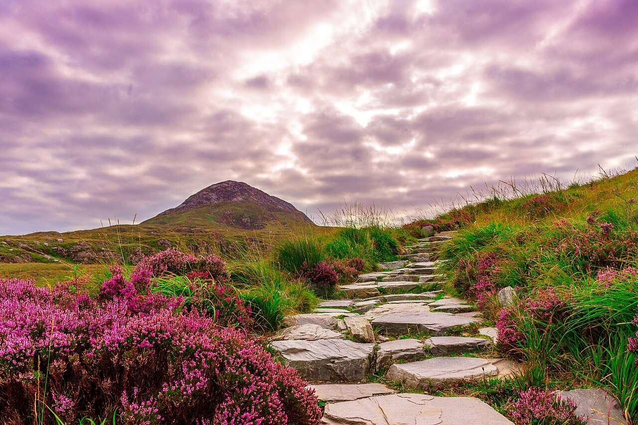
nature · 17.1 km
Diamond Hill offers a clearly defined way into Connemara’s upland landscape, with lower and upper walking options that should be chosen for the day’s conditions.
Open place page →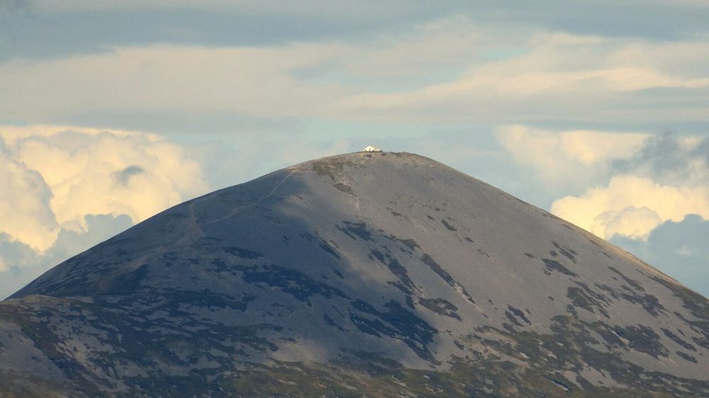
nature · 18.2 km
Croagh Patrick rises above Clew Bay with a history that matters to many people before they take a step uphill. Some come as pilgrims, others for the mountain and the view. Either way, a climb is a substantial…
Open place page →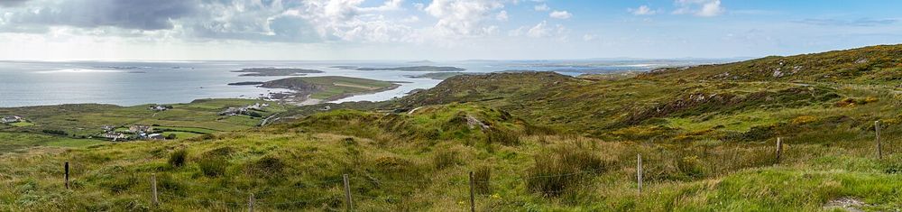
coast · 27.8 km
The Sky Road climbs away from Clifden into a view of bays, small islands and the Connemara coastline. Its reward is the widening perspective, not a single building at the end. It suits a clear-weather pause…
Open place page →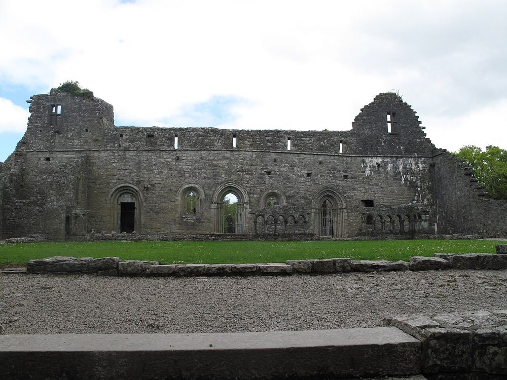
heritage · 28.0 km
Cong Abbey fits naturally into a village walk: stone arches and surviving walls open towards water and woodland, with the fishing house giving the monastic story an unusually practical detail. It is a place to…
Open place page →Accessible cruise reviews praise informative commentary and scenery, while another visitor felt the shore viewpoints were sufficient. That disagreement is useful: book for the boat experience itself, rather than assuming it is the only way to appreciate the inlet.
Original paraphrases of public visitor accounts. These are limited perspectives, not a representative survey or a claim of our own visit. Use current operator information for access and opening.
Location & access
The inlet lies along the Galway–Mayo boundary. This guide’s arrival point is on the Galway side; cruise boarding is at Nancy’s Point, not in the centre of Leenane.
53.59790, -9.69680 · Reference point; confirm the correct entrance and access. Map © OpenStreetMap contributors.
Source-based place brief. A catalogue reference is not a live availability check or a report of a personal visit.
Visitor details checked 19 October 2026. Page content updated 2026-10-20.