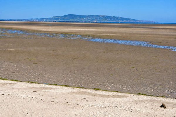
coast · 4.4 km
Sandymount Strand Walk
Experience 7.5/10Visitor friendliness 7.5/10
A broad tidal strand and coastal promenade on the south side of Dublin Bay.
Open place page →fuel · Dublin
Fuel reference for Circle K Stillorgan (N11). Confirm current operation and available services before relying on it.
Saved on this browser. No account needed.
Find your bearings
Explore the area, find the essentials and build a day around what interests you.
See the location ↓Planning context
This is a practical service reference. We have not verified enough about availability, charges or service quality to assign a useful score. Check its source and current on-site information before relying on it.
Nearby options
Distances are straight-line estimates between catalogue pins, within 30 km. Roads, entrances and walking routes may be much longer. Known closed places are excluded; inclusion does not confirm opening today.
coast · 4.4 km
A broad tidal strand and coastal promenade on the south side of Dublin Bay.
Open place page →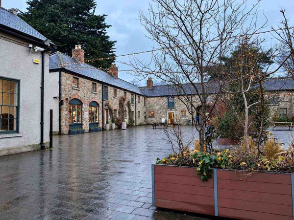
nature · 5.2 km
Woodland, lawns, a walled garden and a craft courtyard at the foot of the Dublin Mountains.
Open place page →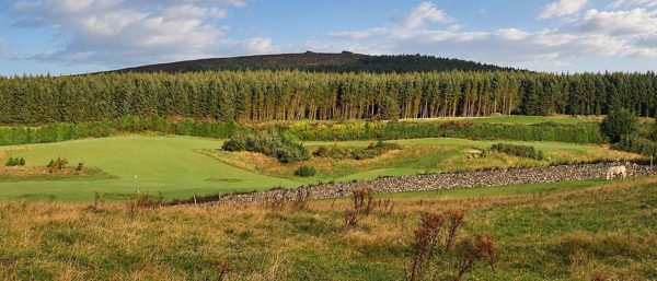
nature · 5.3 km
Forest trails, granite outcrops and an upland cairn above Dublin, reached from Ticknock.
Open place page →
heritage · 5.4 km
An Elizabethan fortified house with later decorative interiors in Rathfarnham.
Open place page →
coast · 5.4 km
An out-and-back harbour walk on Dún Laoghaire’s East Pier, with views across the boats and bay.
Open place page →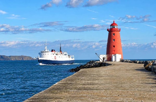
coast · 5.9 km
An exposed harbour-wall walk towards the red Poolbeg Lighthouse, with shipping and bay views.
Open place page →Location & access
53.28900, -6.20300 · Reference point; confirm the correct entrance and access. Map © OpenStreetMap contributors.
Source-based place brief. A catalogue reference is not a live availability check or a report of a personal visit.
Catalogue source-check date: 2026-07-13. Page assembled 14 October 2026.