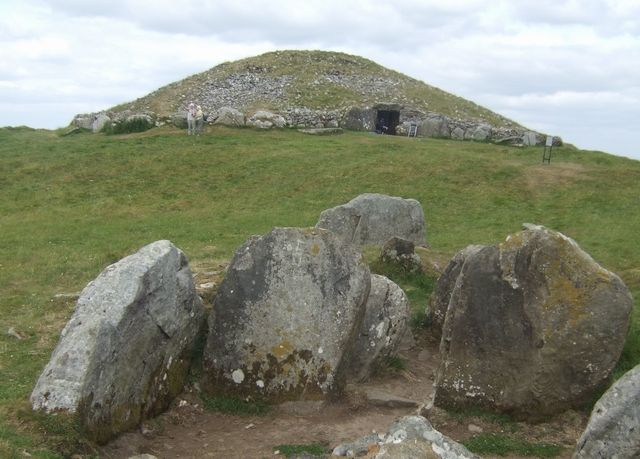
Cairn T exterior
Look at the principal cairn from the authorised visitor area. Do not climb onto the mound or assume old accounts of chamber entry still apply.
heritage · Meath
Loughcrew puts its archaeology on a hilltop rather than behind a museum door. The climb brings passage tombs, scattered stones and a wide sweep of countryside into the same view. Come for that relationship between monuments and landscape; an interior visit to the principal tomb is currently unavailable.
Access notice · Cairn T interior closed for conservation; other hill monuments remain accessible. OPW guides have finished the 2026 season. Checked 19 October 2026.
Source-based editorial assessment · out of 10
Cairn T interior closed for conservation; other hill monuments remain accessible. OPW guides have finished the 2026 season. Checked 19 October 2026.
A rewarding archaeology stop if you are comfortable with a steep grassy ascent. Skip the climb in unsuitable weather or if your main aim is entering a tomb chamber.
Checked 19 October 2026: OPW states Cairn T’s interior is closed for conservation, while the other hill monuments are unaffected. Guide presence has ended for the 2026 season.
Best for: An exposed hill walk to prehistoric monuments; Cairn T’s interior is closed for conservation, not an optional extra you can unlock locally.
Planning blend: 7.0 / 10 · Sustainability: unrated
Experience considers the reward and depth of this particular stop. Visitor friendliness considers practical ease: arrival, booking, physical demands, cost and flexibility. These are editorial judgements based on linked information, not visitor averages or a claim of a personal visit.
Assessed . Supporting guide source-check date: 2026-10-19. The assessment date does not mean every linked source was newly checked.
The blend uses (40 × Experience + 55 × Visitor friendliness) ÷ 95, rounded to the nearest half point. Missing sustainability does not affect it. A missing current visit score is not zero and has no blend.
A high score is not a safety clearance or a guarantee of step-free access. Food-stop scores concern the planned visit, not an untested meal. Read the scale and scope · Suggest a correction.
From research
A rewarding archaeology stop if you are comfortable with a steep grassy ascent. Skip the climb in unsuitable weather or if your main aim is entering a tomb chamber.
Know before you book: An exposed hill walk to prehistoric monuments; Cairn T’s interior is closed for conservation, not an optional extra you can unlock locally.
Place highlights
Look at the principal cairn from the authorised visitor area. Do not climb onto the mound or assume old accounts of chamber entry still apply.
Look across the hill for the other monuments and neighbouring summits. Loughcrew is a burial landscape rather than one isolated tomb.
The story behind the visit
The cemetery dates to the Neolithic period. Cairn T is known for its decorated stones and equinox alignment, but the conservation closure prevents public inspection of the chamber. The surrounding monuments remain part of an important prehistoric landscape in their own right. Source ↗
Dated visitor information
Follow signs for Loughcrew Cairns near Oldcastle and the designated visitor approach. Allow for the narrow road and walking ascent; the map pin on the hill is not somewhere to drive. Official visitor information ↗
Source information checked 19 October 2026; confirm current access and visitor arrangements with the operator.
Not at the current check date: conservation works prevent public access to its interior. Source ↗
The approach is steep; OPW says there is no wheelchair access. Review the social guide and choose another heritage stop if that terrain is unsuitable. Source ↗
Nearby options
Distances are straight-line estimates between catalogue pins, within 30 km. Roads, entrances and walking routes may be much longer. Known closed places are excluded; inclusion does not confirm opening today.
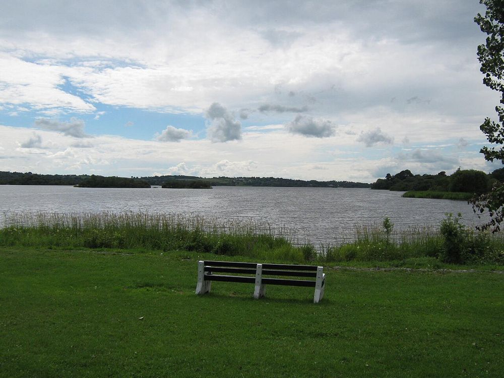
nature · 9.9 km
Lough Ramor gives Virginia room to breathe. From an authorised public lakeside area, the water and wooded edges make a gentle pause from the road, with longer woodland walking available separately if you want…
Open place page →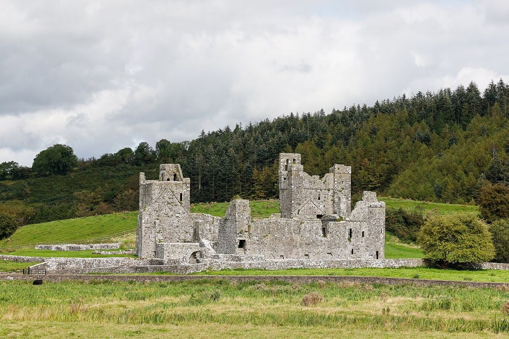
heritage · 10.3 km
Fore's ruined buildings sit in a broad valley, giving the visit room to breathe. The abbey is the central stop, but the surrounding monuments make more sense when explored as a landscape.
Open place page →
attraction · 14.4 km
Cavan County Museum is larger in scope than the name might suggest. Archaeological objects and local-life collections share the visit with exhibitions about conflict, while the reconstructed trench outside…
Open place page →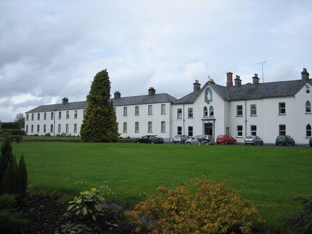
heritage · 22.2 km
Multyfarnham is still a place of worship, which changes the pace of a visit. The abbey and its setting suit a quiet look before exploring the village rather than a loudly narrated circuit.
Open place page →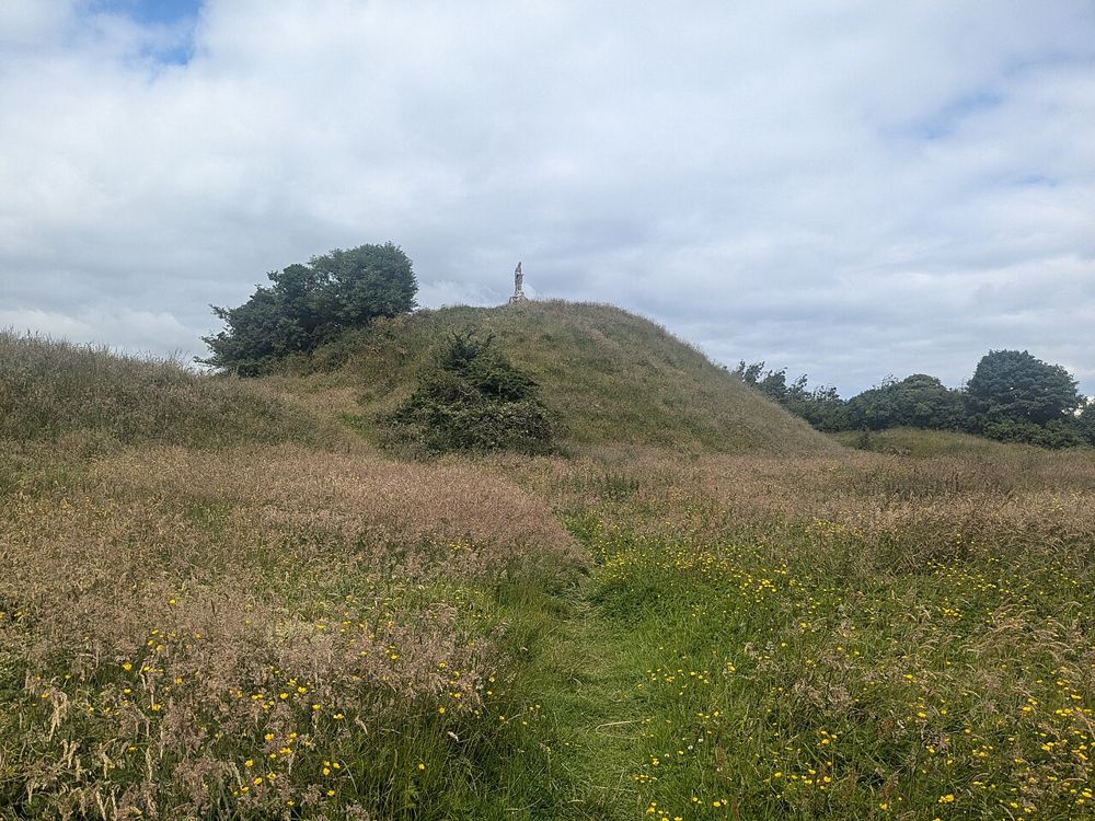
attraction · 24.7 km
Knights & Conquests turns the Norman story into something visitors can handle and discuss rather than simply read on panels. The nearby motte gives the indoor interpretation a real landscape reference.
Open place page →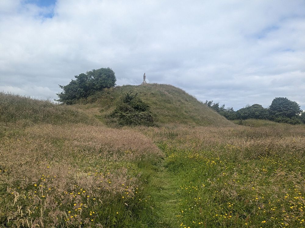
heritage · 24.7 km
The steep earthwork above Granard makes medieval power visible without a surviving stone castle. Its scale becomes clearer as you approach from the town rather than seeing only a distant hill.
Open place page →Visitor excerpts emphasise the steep climb and the reward of reaching the cairns. Some older accounts describe chamber access; those should not be used for planning because the current OPW conservation notice takes precedence.
Original paraphrases of public visitor accounts. These are limited perspectives, not a representative survey or a claim of our own visit. Use current operator information for access and opening.
Location & access
An exposed hill walk to prehistoric monuments; Cairn T’s interior is closed for conservation, not an optional extra you can unlock locally.
53.74400, -7.11800 · Reference point; confirm the correct entrance and access. Map © OpenStreetMap contributors.
Source-based place brief. A catalogue reference is not a live availability check or a report of a personal visit.
Visitor details checked 19 October 2026. Page content updated 2026-10-20.