Earthwork profile
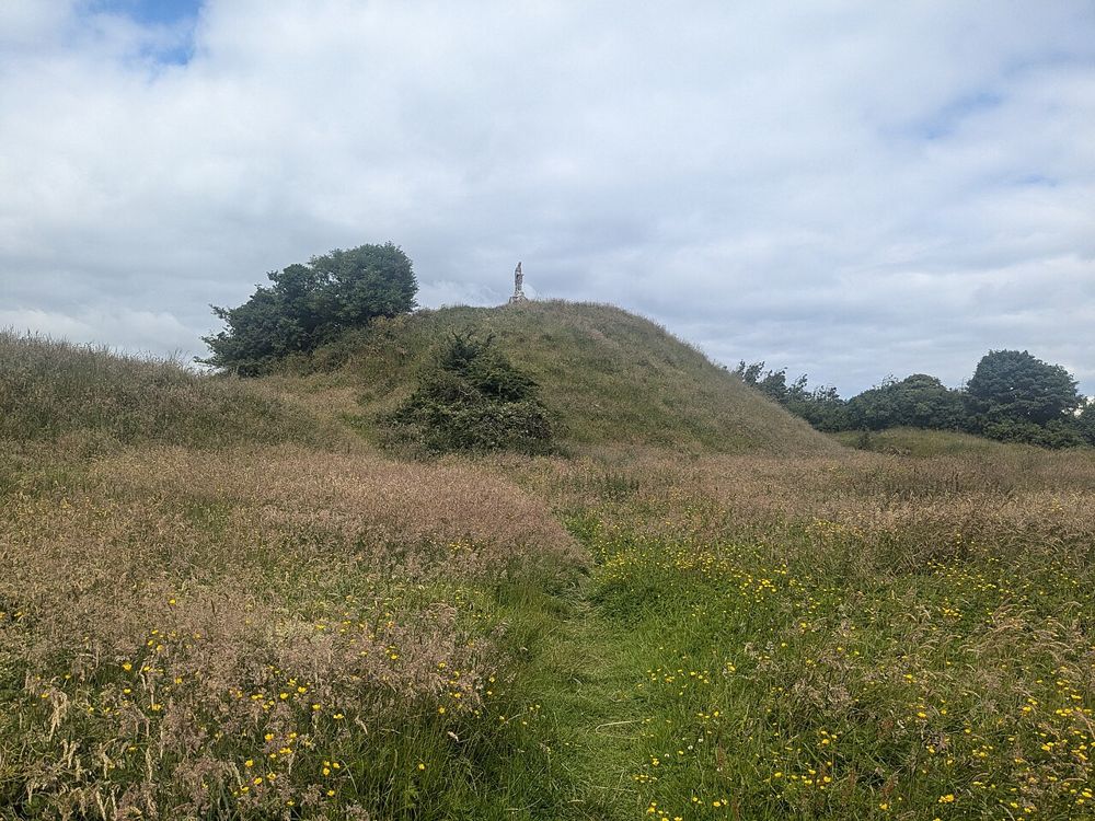
Notice how the raised mound dominates the approach.
heritage · Longford
The steep earthwork above Granard makes medieval power visible without a surviving stone castle. Its scale becomes clearer as you approach from the town rather than seeing only a distant hill.
Source-based editorial assessment · out of 10
Choose it when ground conditions allow a climb; combine it with the nearby interpretation if you want more than the view.
The operator warns that the climb involves uneven terrain. Check current access and do not assume the indoor centre and outdoor climb share identical arrangements.
Best for: Earthwork profile and town and country views
Planning blend: 7.5 / 10 · Sustainability: unrated
Experience considers the reward and depth of this particular stop. Visitor friendliness considers practical ease: arrival, booking, physical demands, cost and flexibility. These are editorial judgements based on linked information, not visitor averages or a claim of a personal visit.
Assessed . Supporting guide source-check date: 2026-10-19. The assessment date does not mean every linked source was newly checked.
The blend uses (40 × Experience + 55 × Visitor friendliness) ÷ 95, rounded to the nearest half point. Missing sustainability does not affect it. A missing current visit score is not zero and has no blend.
A high score is not a safety clearance or a guarantee of step-free access. Food-stop scores concern the planned visit, not an untested meal. Read the scale and scope · Suggest a correction.
From research
Choose it when ground conditions allow a climb; combine it with the nearby interpretation if you want more than the view.
Know before you book: From below, the mound's profile is already worth studying. A climb may add views when permitted and suitable, but the summit should not become a test everyone must complete. The interpretation centre can supply the medieval context while a different outdoor arrangement accommodates people who cannot manage the slope.
Place highlights
Notice how the raised mound dominates the approach.
Use the permitted summit area only when footing and weather are suitable.
The story behind the visit
The motte belongs to the Norman reshaping of the landscape. Later uses and local associations add layers, but its basic defensive form remains the most immediate feature. Source ↗
Dated visitor information
Use the published approach beside Knights & Conquests in Granard, respecting current gates and signs. Official visitor information ↗
Source information checked 19 October 2026; confirm current access and visitor arrangements with the operator.
Do not assume it. Weather, ground conditions and access arrangements may make the climb unsuitable even when indoor interpretation is available. Source ↗
The great earthwork is the attraction. Do not expect an intact furnished castle at the summit. Source ↗
Nearby options
Distances are straight-line estimates between catalogue pins, within 30 km. Roads, entrances and walking routes may be much longer. Known closed places are excluded; inclusion does not confirm opening today.
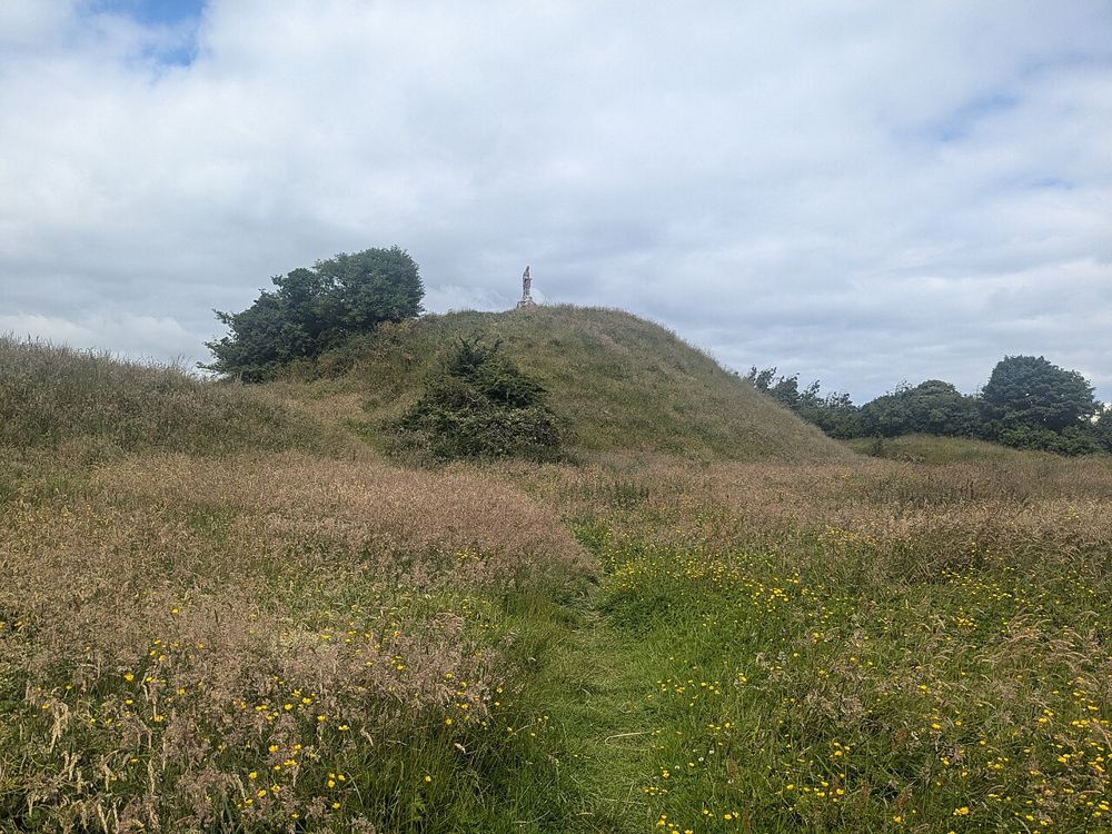
attraction · 0.1 km
Knights & Conquests turns the Norman story into something visitors can handle and discuss rather than simply read on panels. The nearby motte gives the indoor interpretation a real landscape reference.
Open place page →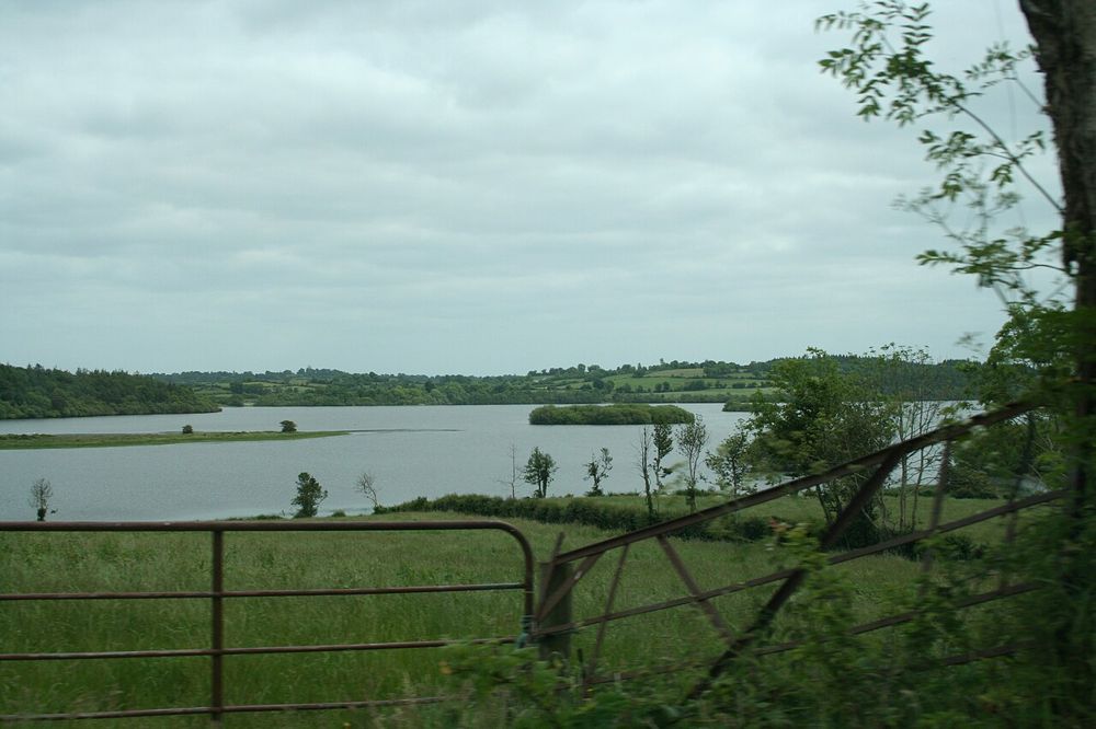
nature · 10.2 km
Derrycassin combines woodland shelter with glimpses of Lough Gowna. It is a good place to let a walk develop around a marked loop rather than chase an uninterrupted lakeside promenade.
Open place page →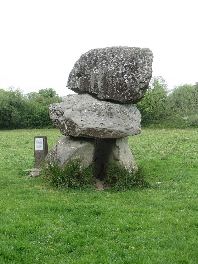
nature · 10.4 km
Leebeen is a modest lakeside outing, which is precisely its appeal after more concentrated sightseeing. The boardwalk and small-scale surroundings make it a place to pause rather than tick off another monument.
Open place page →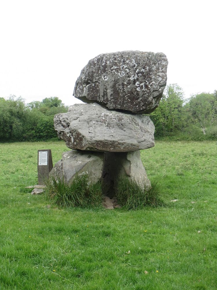
heritage · 10.9 km
The weight of Aughnacliffe's capstone is what first catches the eye. A close, respectful look at the supporting stones then turns the monument from an odd boulder into a deliberate prehistoric structure.
Open place page →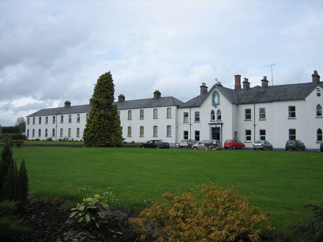
heritage · 17.9 km
Multyfarnham is still a place of worship, which changes the pace of a visit. The abbey and its setting suit a quiet look before exploring the village rather than a loudly narrated circuit.
Open place page →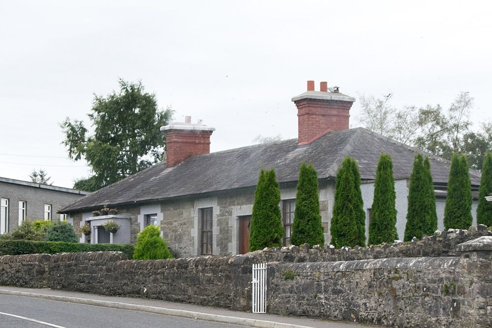
heritage · 18.0 km
Ardagh rewards looking at how a village fits together: stone houses, green spaces and church remains create a coherent small settlement rather than a single headline attraction.
Open place page →The centre's public reviews mention adding the motte climb when weather permits. Treat that as conditional: the uneven slope can be unsuitable even when an indoor visit is possible. The account concerns a combined visit, not a guarantee of independent summit access.
Original paraphrases of public visitor accounts. These are limited perspectives, not a representative survey or a claim of our own visit. Use current operator information for access and opening.
Location & access
From below, the mound's profile is already worth studying. A climb may add views when permitted and suitable, but the summit should not become a test everyone must complete. The interpretation centre can supply the medieval context while a different outdoor arrangement accommodates people who cannot manage the slope.
53.77400, -7.49100 · Reference point; confirm the correct entrance and access. Map © OpenStreetMap contributors.
Source-based place brief. A catalogue reference is not a live availability check or a report of a personal visit.
Visitor details checked 19 October 2026. Page content updated 2026-10-20.