Lakeside boardwalk
Follow the public route and enjoy the changing angle across the water.
nature · Longford
Leebeen is a modest lakeside outing, which is precisely its appeal after more concentrated sightseeing. The boardwalk and small-scale surroundings make it a place to pause rather than tick off another monument.
Source-based editorial assessment · out of 10
Choose it for a short family-friendly outdoor stop. Assess the actual surface for your needs instead of relying on an old review's accessibility judgement.
Follow current signs and supervise children near water. The park loop and nearby waterfall trail are separate walks, with conditions that may differ.
Best for: Lakeside boardwalk and local trail links
Planning blend: 7.0 / 10 · Sustainability: unrated
Experience considers the reward and depth of this particular stop. Visitor friendliness considers practical ease: arrival, booking, physical demands, cost and flexibility. These are editorial judgements based on linked information, not visitor averages or a claim of a personal visit.
Assessed . Supporting guide source-check date: 2026-10-19. The assessment date does not mean every linked source was newly checked.
The blend uses (40 × Experience + 55 × Visitor friendliness) ÷ 95, rounded to the nearest half point. Missing sustainability does not affect it. A missing current visit score is not zero and has no blend.
A high score is not a safety clearance or a guarantee of step-free access. Food-stop scores concern the planned visit, not an untested meal. Read the scale and scope · Suggest a correction.
From research
Choose it for a short family-friendly outdoor stop. Assess the actual surface for your needs instead of relying on an old review's accessibility judgement.
Know before you book: A small local park is a welcome reset when a day has become too full of interpretation boards. Let the lake view and short path be enough. If the nearby waterfall trail is appealing, check that route independently; adding a walk should be a choice, not a surprise at the far end.
Place highlights
Follow the public route and enjoy the changing angle across the water.
The nearby waterfall walk is another option, but check its separate route before setting off.
The story behind the visit
The park reflects community investment in everyday outdoor space. It gives visitors a useful glimpse of a local amenity rather than an attraction constructed only for tourists. Source ↗
Dated visitor information
Use the signed Leebeen Park access near Aughnacliffe and designated parking. Official visitor information ↗
Source information checked 19 October 2026; confirm current access and visitor arrangements with the operator.
The lakeside park and nearby waterfall trail are distinct choices. Check the current route board before linking them. Source ↗
No. A visitor's favourable buggy experience is personal and dated; inspect the actual surface and current access for your needs. Source ↗
Nearby options
Distances are straight-line estimates between catalogue pins, within 30 km. Roads, entrances and walking routes may be much longer. Known closed places are excluded; inclusion does not confirm opening today.
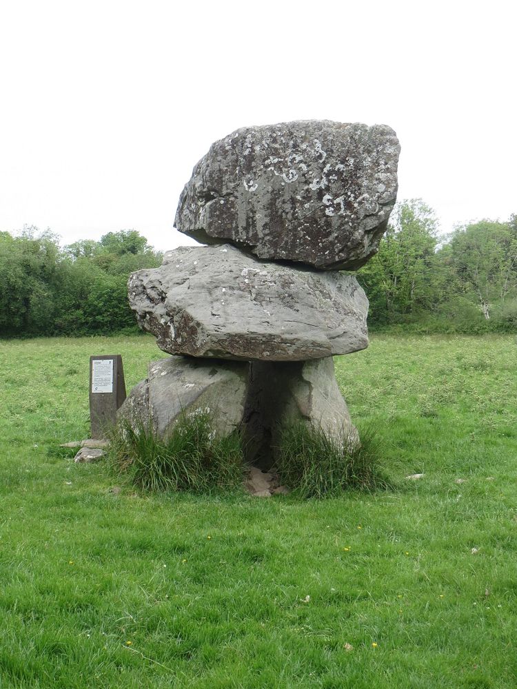
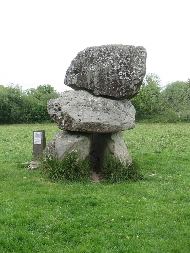
heritage · 0.8 km
The weight of Aughnacliffe's capstone is what first catches the eye. A close, respectful look at the supporting stones then turns the monument from an odd boulder into a deliberate prehistoric structure.
Open place page →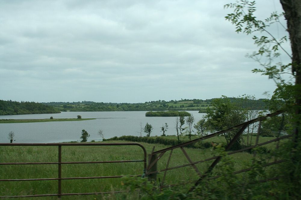
nature · 1.8 km
Derrycassin combines woodland shelter with glimpses of Lough Gowna. It is a good place to let a walk develop around a marked loop rather than chase an uninterrupted lakeside promenade.
Open place page →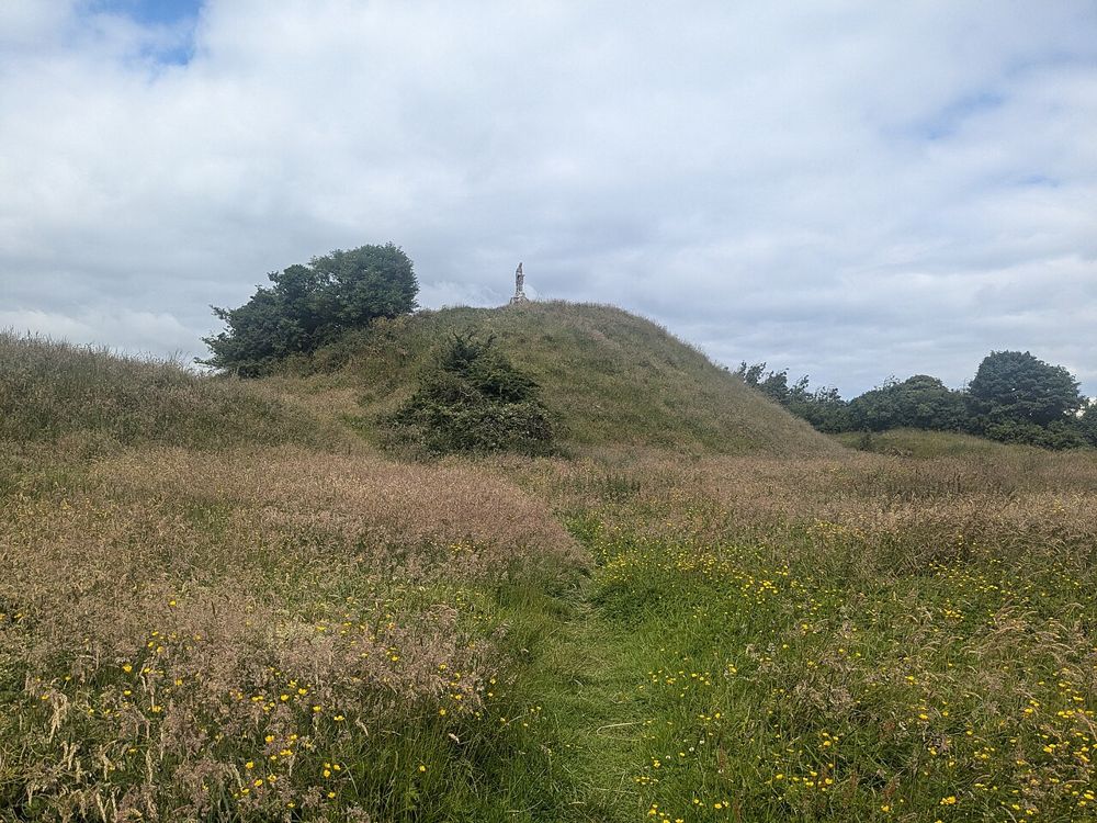
heritage · 10.4 km
The steep earthwork above Granard makes medieval power visible without a surviving stone castle. Its scale becomes clearer as you approach from the town rather than seeing only a distant hill.
Open place page →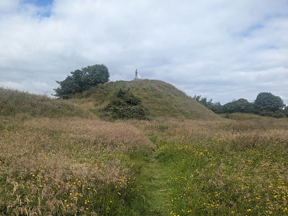
attraction · 10.6 km
Knights & Conquests turns the Norman story into something visitors can handle and discuss rather than simply read on panels. The nearby motte gives the indoor interpretation a real landscape reference.
Open place page →
heritage · 18.9 km
St Mel's is a substantial town-centre building with a recent story as striking as its architecture. Seeing the restored interior gives the scale of the community's response to the devastating fire a physical…
Open place page →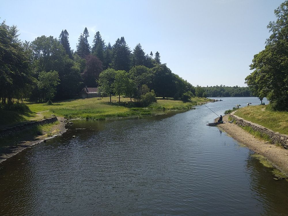
nature · 20.2 km
Killykeen is a place to let Cavan’s lake country unfold slowly. Woodland tracks bring changing glimpses of Lough Oughter, where islands and wooded shores make the water feel less like one open lake than a…
Open place page →One visitor enjoyed a short rainy-day lakeside walk and the small decorative features, then added the nearby waterfall trail. Their positive judgement about buggies is personal and dated, so inspect the current surface for your needs rather than treating it as an accessibility certification.
Original paraphrases of public visitor accounts. These are limited perspectives, not a representative survey or a claim of our own visit. Use current operator information for access and opening.
Location & access
A small local park is a welcome reset when a day has become too full of interpretation boards. Let the lake view and short path be enough. If the nearby waterfall trail is appealing, check that route independently; adding a walk should be a choice, not a surprise at the far end.
53.84800, -7.58900 · Reference point; confirm the correct entrance and access. Map © OpenStreetMap contributors.
Source-based place brief. A catalogue reference is not a live availability check or a report of a personal visit.
Visitor details checked 19 October 2026. Page content updated 2026-10-20.