Shoreline views
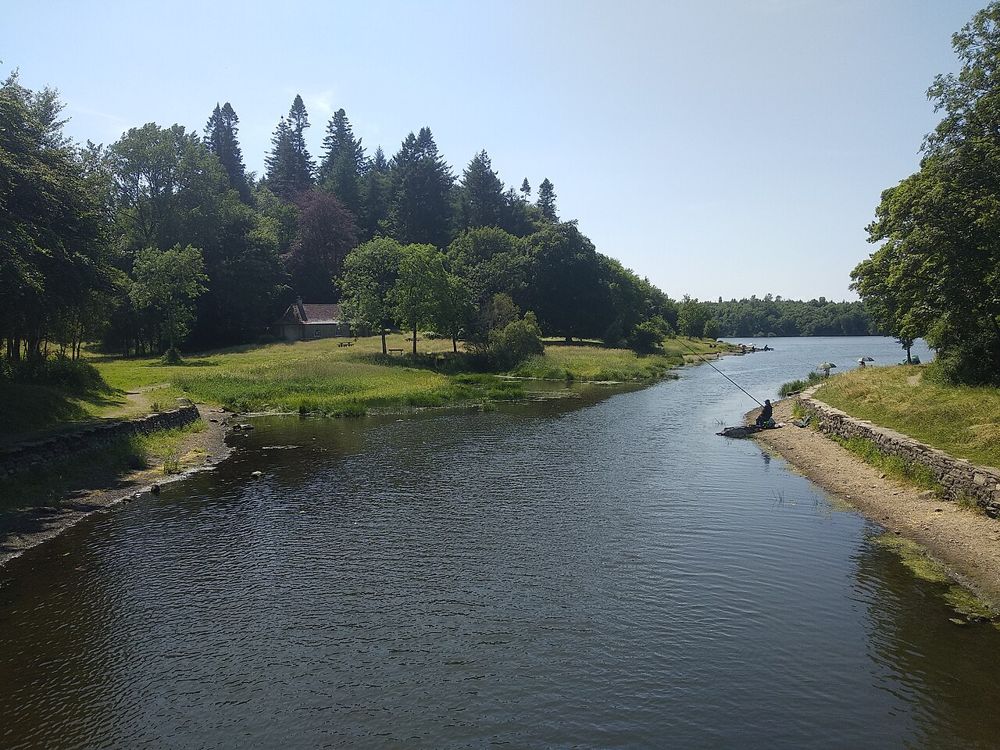
Pause at signed public viewpoints and notice how the islands break up the water. The lake is most interesting when you give it time.
nature · Cavan
Killykeen is a place to let Cavan’s lake country unfold slowly. Woodland tracks bring changing glimpses of Lough Oughter, where islands and wooded shores make the water feel less like one open lake than a network of hidden rooms. Pick a shore-focused walk if that is what brought you here.
Source-based editorial assessment · out of 10
Choose it for an unhurried walk and lake scenery. It works better as time outdoors than as a hunt for one must-see object.
Read Coillte’s current route and access information. Do not assume that every forest track returns to your starting point or has the same surface.
Best for: A managed forest park with several route choices; lakeside scenery does not imply a supervised bathing area.
Planning blend: 7.5 / 10 · Sustainability: unrated
Experience considers the reward and depth of this particular stop. Visitor friendliness considers practical ease: arrival, booking, physical demands, cost and flexibility. These are editorial judgements based on linked information, not visitor averages or a claim of a personal visit.
Assessed . Supporting guide source-check date: 2026-10-19. The assessment date does not mean every linked source was newly checked.
The blend uses (40 × Experience + 55 × Visitor friendliness) ÷ 95, rounded to the nearest half point. Missing sustainability does not affect it. A missing current visit score is not zero and has no blend.
A high score is not a safety clearance or a guarantee of step-free access. Food-stop scores concern the planned visit, not an untested meal. Read the scale and scope · Suggest a correction.
From research
Choose it for an unhurried walk and lake scenery. It works better as time outdoors than as a hunt for one must-see object.
Know before you book: A managed forest park with several route choices; lakeside scenery does not imply a supervised bathing area.
Place highlights
Pause at signed public viewpoints and notice how the islands break up the water. The lake is most interesting when you give it time.
Use the trail map to choose between shorter and longer walks. Different tracks show different amounts of shoreline, so decide before leaving the car park.
The story behind the visit
The forest sits within the flooded drumlin landscape of Lough Oughter. Low hills, islands and water channels give this part of Cavan its distinctive shape, while managed woodland adds a different layer to the natural setting. Source ↗
Dated visitor information
Approach through the signed Killykeen Forest Park entrance between Cavan and Killeshandra. Navigate to the official parking and trailhead rather than an arbitrary point on the shoreline. Official visitor information ↗
Source information checked 19 October 2026; confirm current access and visitor arrangements with the operator.
No. Check the map and choose a shore-focused route if lake views are your priority. Source ↗
No. It covers the forest and shoreline visit, not a water-safety assessment. Source ↗
Nearby options
Distances are straight-line estimates between catalogue pins, within 30 km. Roads, entrances and walking routes may be much longer. Known closed places are excluded; inclusion does not confirm opening today.
heritage · 1.5 km
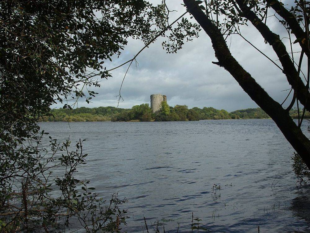
Clough Oughter’s round tower rises directly from a tiny island, making the surrounding water part of the architecture rather than just a scenic backdrop. Seeing it from shore and reaching the island are…
Open place page →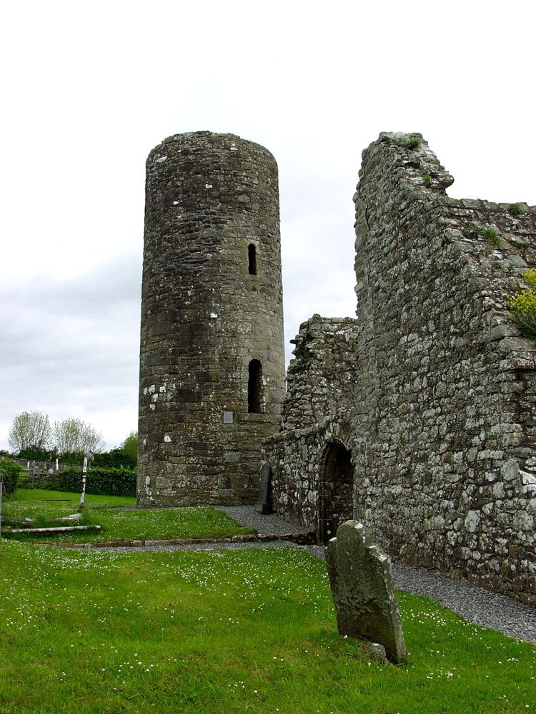
heritage · 7.2 km
Drumlane is a small heritage stop whose setting does much of the work. A round tower and roofless church rise beside a burial ground and lake country, giving a clear visual connection between religious remains…
Open place page →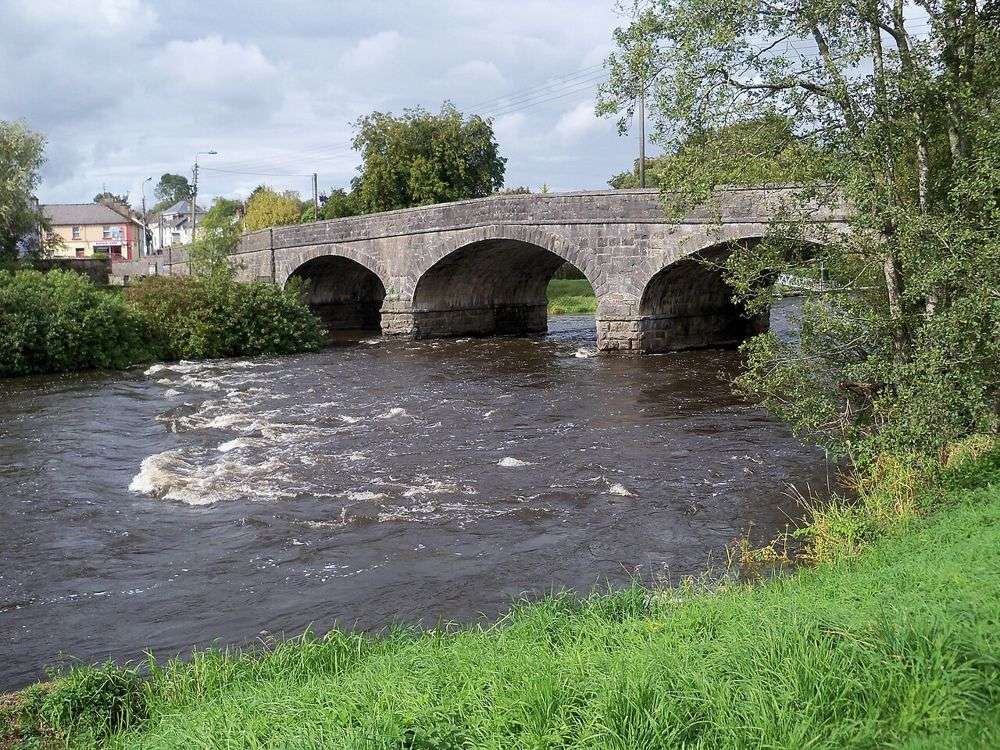
heritage · 10.3 km
Turbet Island is a useful way to see Belturbet from the river rather than only from its main street. The surviving earthwork needs some imagination, but the water and vegetation make the walk worthwhile even…
Open place page →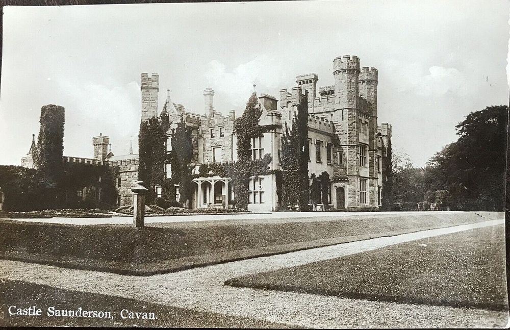
nature · 14.4 km
Castle Saunderson is a demesne walk with a ruined house as its focal point. The Gothic outline is striking, but the surrounding woodland and riverside setting are what make the visit more than a roadside…
Open place page →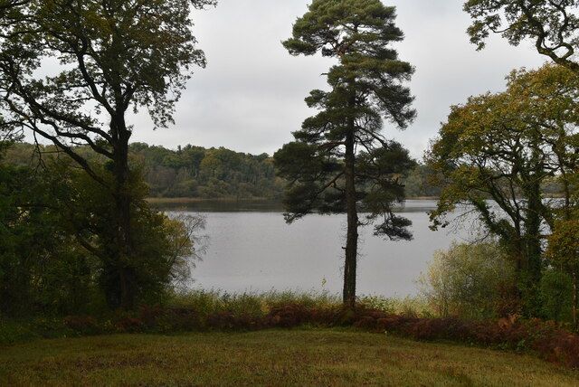
nature · 17.6 km
Crom is about Upper Lough Erne at a slower pace: water, mature trees, old ruins and paths that invite lingering. It is a stronger choice for a landscape day than for someone expecting a furnished castle tour.
Open place page →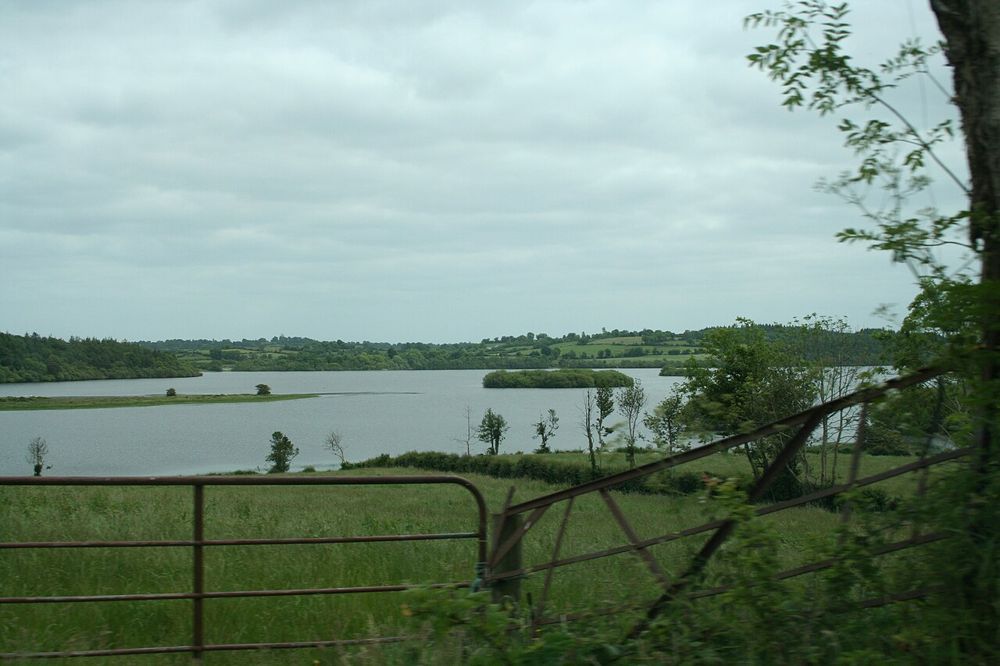
nature · 18.8 km
Derrycassin combines woodland shelter with glimpses of Lough Gowna. It is a good place to let a walk develop around a marked loop rather than chase an uninterrupted lakeside promenade.
Open place page →Accessible visitor reviews appreciate walks combining woodland and water. Older comments disagree about available refreshment facilities, so bring what you need and confirm services separately rather than planning around a presumed café.
Original paraphrases of public visitor accounts. These are limited perspectives, not a representative survey or a claim of our own visit. Use current operator information for access and opening.
Location & access
A managed forest park with several route choices; lakeside scenery does not imply a supervised bathing area.
54.00800, -7.44400 · Reference point; confirm the correct entrance and access. Map © OpenStreetMap contributors.
Source-based place brief. A catalogue reference is not a live availability check or a report of a personal visit.
Visitor details checked 19 October 2026. Page content updated 2026-10-20.