Old castle remains
The ruins add a human story to the shore, but explore only within permitted areas.
nature · Fermanagh · Northern Ireland
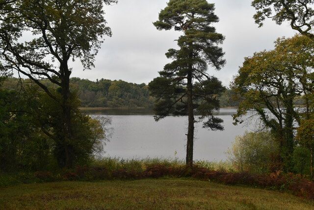
Crom is about Upper Lough Erne at a slower pace: water, mature trees, old ruins and paths that invite lingering. It is a stronger choice for a landscape day than for someone expecting a furnished castle tour.
Source-based editorial assessment · out of 10
Choose a permitted estate walk and leave room to pause by the lough. The appeal comes from the whole setting rather than ticking off one building.
Confirm catering and essential supplies; this is a rural estate. Check the specific access guide for the route you want, and stay on signed public paths.
Best for: A National Trust conservation estate with outdoor routes; the inhabited newer castle is not a routine public interior attraction.
Planning blend: 8.0 / 10 · Sustainability: unrated
Experience considers the reward and depth of this particular stop. Visitor friendliness considers practical ease: arrival, booking, physical demands, cost and flexibility. These are editorial judgements based on linked information, not visitor averages or a claim of a personal visit.
Assessed . Supporting guide source-check date: 2026-10-19. The assessment date does not mean every linked source was newly checked.
The blend uses (40 × Experience + 55 × Visitor friendliness) ÷ 95, rounded to the nearest half point. Missing sustainability does not affect it. A missing current visit score is not zero and has no blend.
A high score is not a safety clearance or a guarantee of step-free access. Food-stop scores concern the planned visit, not an untested meal. Read the scale and scope · Suggest a correction.
From research
Choose a permitted estate walk and leave room to pause by the lough. The appeal comes from the whole setting rather than ticking off one building.
Know before you book: A National Trust conservation estate with outdoor routes; the inhabited newer castle is not a routine public interior attraction.
Place highlights
The ruins add a human story to the shore, but explore only within permitted areas.
Watch quietly for wildlife and use the managed paths. Sightings vary, and a tranquil setting does not make every bank a swimming place.
The story behind the visit
The estate combines a long household history with important woodland and wetland habitats. The old ruins and newer private castle represent different chapters and should not be confused. Source ↗
Dated visitor information
Use the signed Crom estate entrance near Newtownbutler. A lough-side jetty or private castle address is not the same as the visitor reception approach. Official visitor information ↗
Source information checked 19 October 2026; confirm current access and visitor arrangements with the operator.
The newer castle is private; do not assume an interior tour with estate admission. Source ↗
No. Verify any water-based activity separately with the operator. Source ↗
Nearby options
Distances are straight-line estimates between catalogue pins, within 30 km. Roads, entrances and walking routes may be much longer. Known closed places are excluded; inclusion does not confirm opening today.
nature · 6.4 km
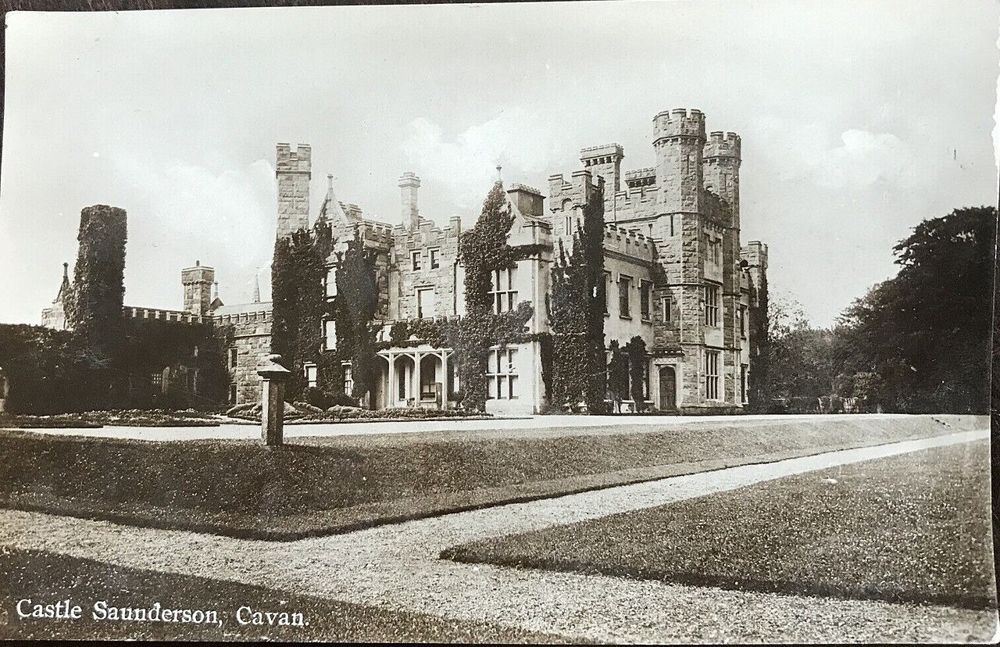
Castle Saunderson is a demesne walk with a ruined house as its focal point. The Gothic outline is striking, but the surrounding woodland and riverside setting are what make the visit more than a roadside…
Open place page →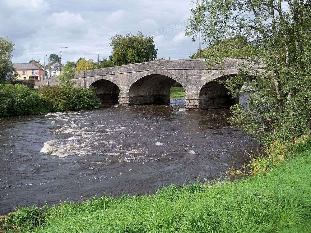
heritage · 7.2 km
Turbet Island is a useful way to see Belturbet from the river rather than only from its main street. The surviving earthwork needs some imagination, but the water and vegetation make the walk worthwhile even…
Open place page →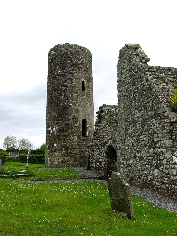
heritage · 10.3 km
Drumlane is a small heritage stop whose setting does much of the work. A round tower and roofless church rise beside a burial ground and lake country, giving a clear visual connection between religious remains…
Open place page →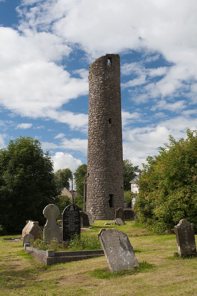
heritage · 13.8 km
Clones Round Tower is a reminder that the town’s story began long before its modern streets. Set within a burial ground, it makes a compact heritage stop that is best connected with the nearby church remains…
Open place page →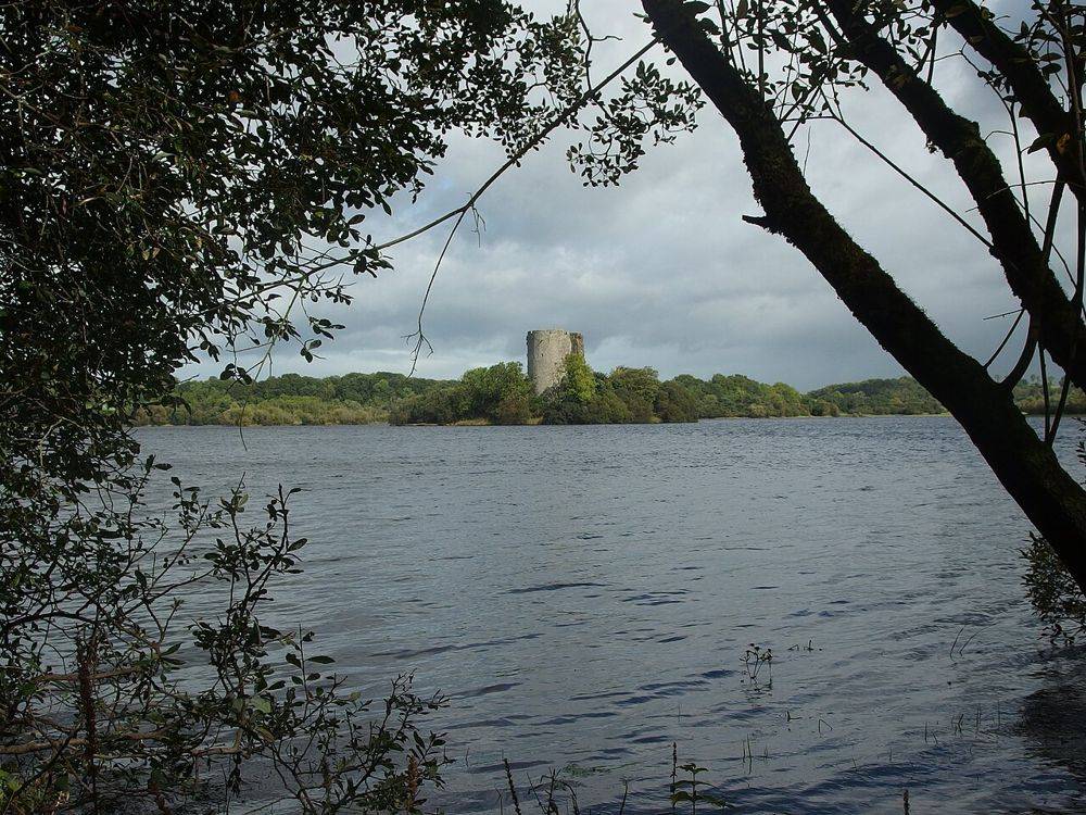
heritage · 16.4 km
Clough Oughter’s round tower rises directly from a tiny island, making the surrounding water part of the architecture rather than just a scenic backdrop. Seeing it from shore and reaching the island are…
Open place page →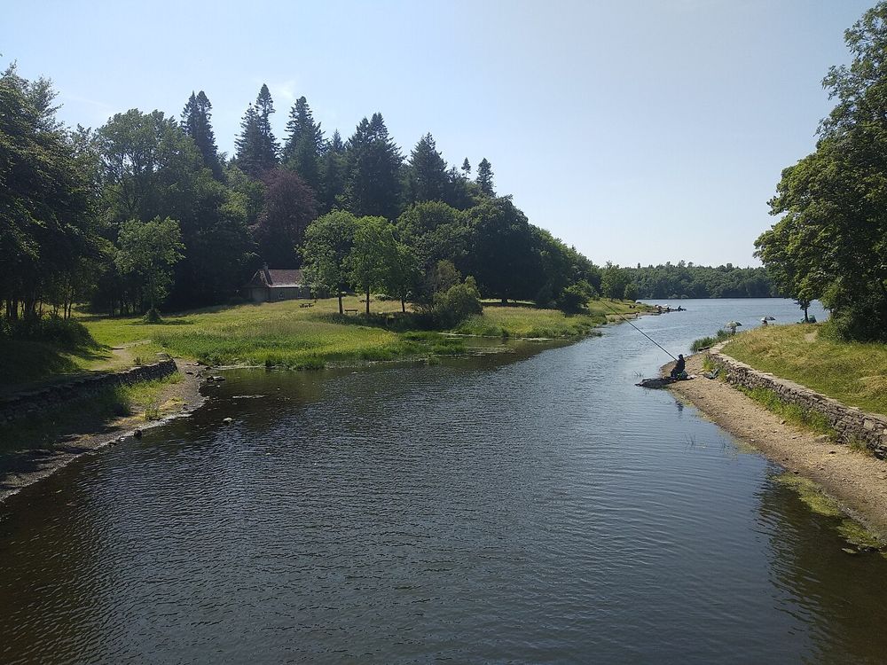
nature · 17.6 km
Killykeen is a place to let Cavan’s lake country unfold slowly. Woodland tracks bring changing glimpses of Lough Oughter, where islands and wooded shores make the water feel less like one open lake than a…
Open place page →Detailed reviews value the lough-side walks but give mixed reports about refreshments and visitor facilities. Some accounts concern cottages or camping and cannot fairly rate a simple day walk. Choose the landscape deliberately and confirm any service your plan depends on.
Original paraphrases of public visitor accounts. These are limited perspectives, not a representative survey or a claim of our own visit. Use current operator information for access and opening.
Location & access
A National Trust conservation estate with outdoor routes; the inhabited newer castle is not a routine public interior attraction.
54.16600, -7.44500 · Reference point; confirm the correct entrance and access. Map © OpenStreetMap contributors.
Source-based place brief. A catalogue reference is not a live availability check or a report of a personal visit.
Visitor details checked 19 October 2026. Page content updated 2026-10-20.