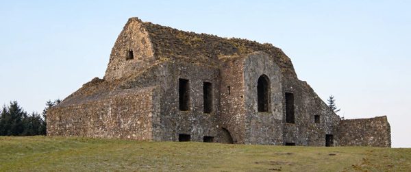
nature · 0.6 km
Hellfire Club (Montpelier Hill) & Massy's Wood
Experience 8.0/10Visitor friendliness 5.5/10
A ruined hunting lodge above Dublin, paired with the contrasting woodland of Massy’s Estate.
Open place page →parking · Dublin
Parking reference for Hellfire Club Car Park. Confirm the entrance, permission to park and current charges before using it.
Saved on this browser. No account needed.
Find your bearings
Explore the area, find the essentials and build a day around what interests you.
See the location ↓Planning context
This is a practical service reference. We have not verified enough about availability, charges or service quality to assign a useful score. Check its source and current on-site information before relying on it.
Nearby options
Distances are straight-line estimates between catalogue pins, within 30 km. Roads, entrances and walking routes may be much longer. Known closed places are excluded; inclusion does not confirm opening today.
nature · 0.6 km
A ruined hunting lodge above Dublin, paired with the contrasting woodland of Massy’s Estate.
Open place page →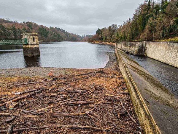
nature · 2.6 km
A walk through Glenasmole’s working water-supply landscape, following the reservoirs and the Dodder valley.
Open place page →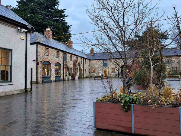
nature · 3.6 km
Woodland, lawns, a walled garden and a craft courtyard at the foot of the Dublin Mountains.
Open place page →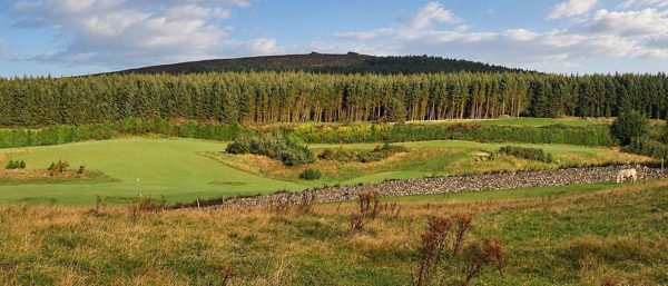
nature · 5.0 km
Forest trails, granite outcrops and an upland cairn above Dublin, reached from Ticknock.
Open place page →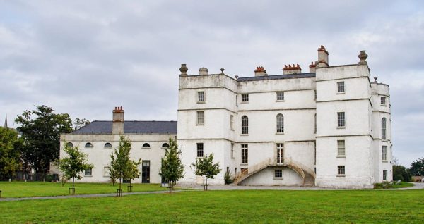
heritage · 5.7 km
An Elizabethan fortified house with later decorative interiors in Rathfarnham.
Open place page →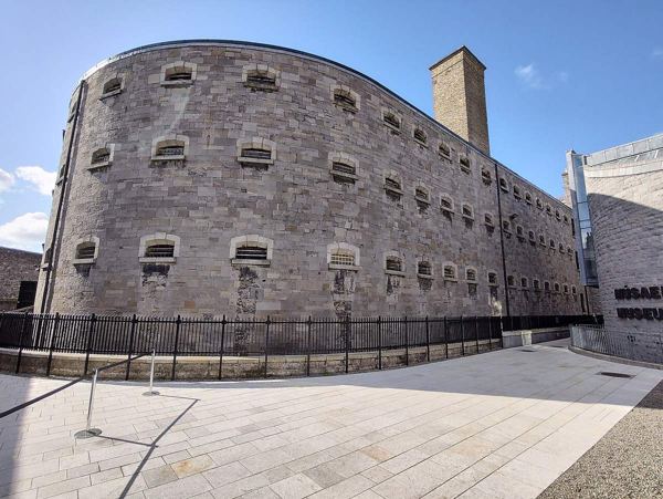
heritage · 9.9 km
A guided visit to a former prison that connects ordinary imprisonment with pivotal episodes of Irish political history.
Open place page →Location & access
53.25284, -6.32176 · Reference point; confirm the correct entrance and access. Map © OpenStreetMap contributors.
Source-based place brief. A catalogue reference is not a live availability check or a report of a personal visit.
Catalogue source-check date: 2026-08-30. Page assembled 14 October 2026.