The avenue
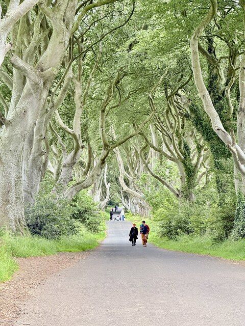
Look along the full alignment rather than searching for an exact television frame. The trees are living, changing features.
nature · Antrim · Northern Ireland
The Dark Hedges is a short avenue, not a forest hike. Its attraction is the way mature beech limbs lean across the road, producing a tunnel whose appearance changes with light, weather and the remaining trees.
Source-based editorial assessment · out of 10
Include it if you already pass nearby or care about the filming connection. It is harder to justify a long detour for one carefully framed photograph.
Stay off roots and respect restrictions around individual trees. This is a heavily visited site, and an older image may show a different canopy from today’s.
Best for: A brief pedestrian visit to a real tree-lined road, often shared with other people seeking the same view.
Planning blend: 7.5 / 10 · Sustainability: unrated
Experience considers the reward and depth of this particular stop. Visitor friendliness considers practical ease: arrival, booking, physical demands, cost and flexibility. These are editorial judgements based on linked information, not visitor averages or a claim of a personal visit.
Assessed . Supporting guide source-check date: 2026-10-19. The assessment date does not mean every linked source was newly checked.
The blend uses (40 × Experience + 55 × Visitor friendliness) ÷ 95, rounded to the nearest half point. Missing sustainability does not affect it. A missing current visit score is not zero and has no blend.
A high score is not a safety clearance or a guarantee of step-free access. Food-stop scores concern the planned visit, not an untested meal. Read the scale and scope · Suggest a correction.
From research
Include it if you already pass nearby or care about the filming connection. It is harder to justify a long detour for one carefully framed photograph.
Know before you book: A brief pedestrian visit to a real tree-lined road, often shared with other people seeking the same view.
Place highlights
Look along the full alignment rather than searching for an exact television frame. The trees are living, changing features.
The avenue originally made an impression on visitors arriving at Gracehill House; that designed perspective survives the screen association.
The story behind the visit
The Stuart family planted the beech avenue in the eighteenth century. Its later use as the Kingsroad in Game of Thrones brought an international audience to an already distinctive landscape. Source ↗
Dated visitor information
Use the signed nearby parking approach around Ballinlea Road and walk to Bregagh Road. The tree avenue pin is not permission to stop a vehicle there. Official visitor information ↗
Source information checked 19 October 2026; confirm current access and visitor arrangements with the operator.
No. The official listing specifies pedestrian access only on the Dark Hedges section of Bregagh Road. Source ↗
Light, leaf cover, other visitors and tree condition all change the view. Source ↗
Nearby options
Distances are straight-line estimates between catalogue pins, within 30 km. Roads, entrances and walking routes may be much longer. Known closed places are excluded; inclusion does not confirm opening today.
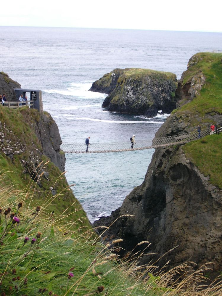
coast · 11.8 km
At Carrick-a-Rede, the coastal approach is a substantial part of the experience. The bridge is the brief, memorable crossing within a longer outing above the sea, not something beside the car door.
Open place page →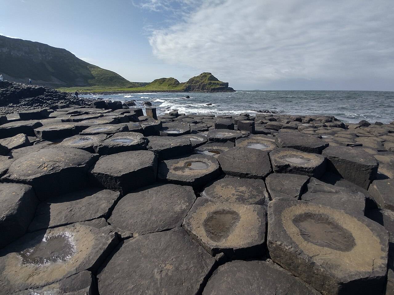
coast · 14.5 km
The Giant’s Causeway combines an extraordinary basalt shoreline with a managed visitor experience. Decide how you will arrive and which services you want before travelling.
Open place page →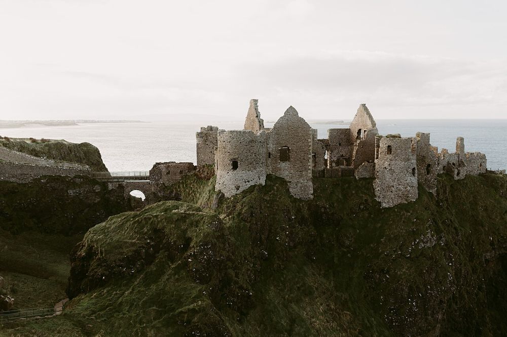
heritage · 15.2 km
Dunluce is a ruin with a very legible geography: a castle gripping a rocky coastal outcrop, separated from the mainland by a narrow approach. The setting is compelling before you know the family names.
Open place page →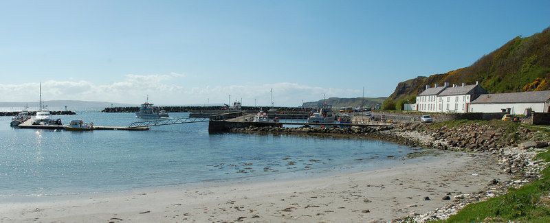
nature · 21.4 km
Rathlin needs its own day-shaped space in a trip. Once the ferry reaches Church Bay, distances across the island and the timetable become more important than the mainland temptation to collect another stop.
Open place page →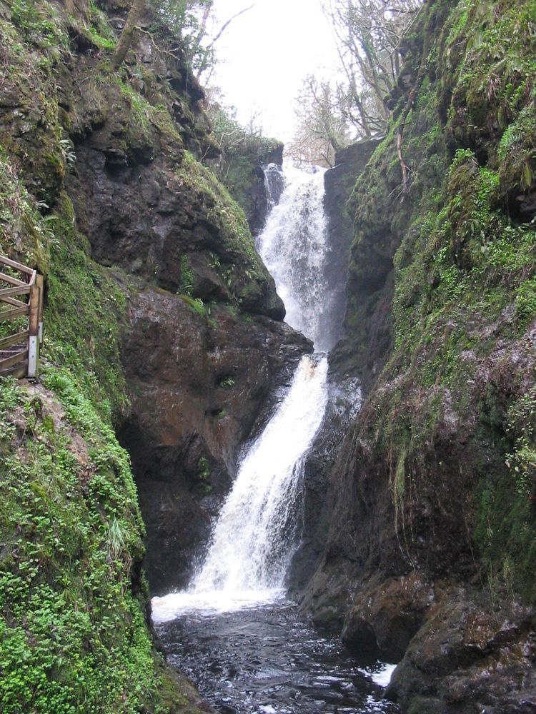
nature · 21.6 km
Glenariff offers a change of texture after the Antrim coast: trees, river gorges and falling water instead of open headlands. The wooded setting makes the descent feel enclosed and the wider glen views more…
Open place page →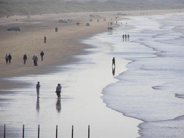
coast · 22.3 km
Portstewart Strand is a substantial beach landscape, with dunes and open sand rather than a small enclosed cove. Its appeal is the room for a proper shore walk, but access and vehicle arrangements shape the…
Open place page →The accessible 2026 accounts are sharply divided: fans still value walking beneath the branches, while others find gaps from lost trees, crowds and parking costs disappointing. Older publicity photographs can set the wrong expectation. Consider it a short nearby stop, especially for screen-location interest, rather than a guaranteed empty tunnel.
Original paraphrases of public visitor accounts. These are limited perspectives, not a representative survey or a claim of our own visit. Use current operator information for access and opening.
Location & access
A brief pedestrian visit to a real tree-lined road, often shared with other people seeking the same view.
55.13500, -6.37900 · Reference point; confirm the correct entrance and access. Map © OpenStreetMap contributors.
Source-based place brief. A catalogue reference is not a live availability check or a report of a personal visit.
Visitor details checked 19 October 2026. Page content updated 2026-10-20.