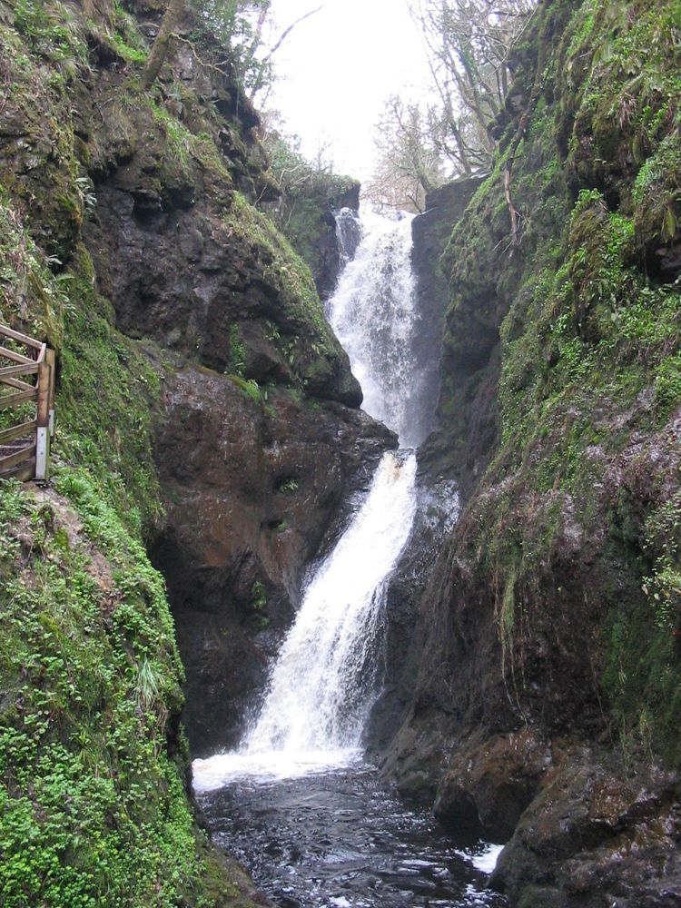
Waterfall gorge
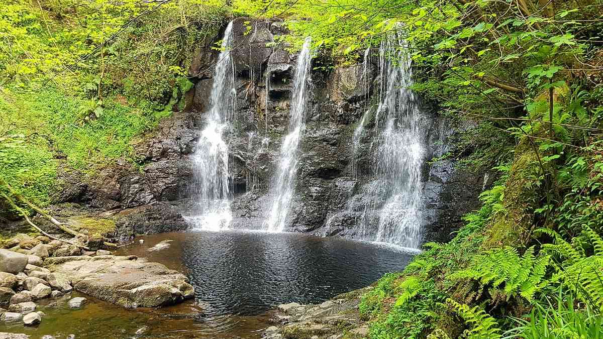
The enclosed river scenery is the reason to choose this park over a generic woodland stop. Follow the managed route and current notices.
nature · Antrim · Northern Ireland
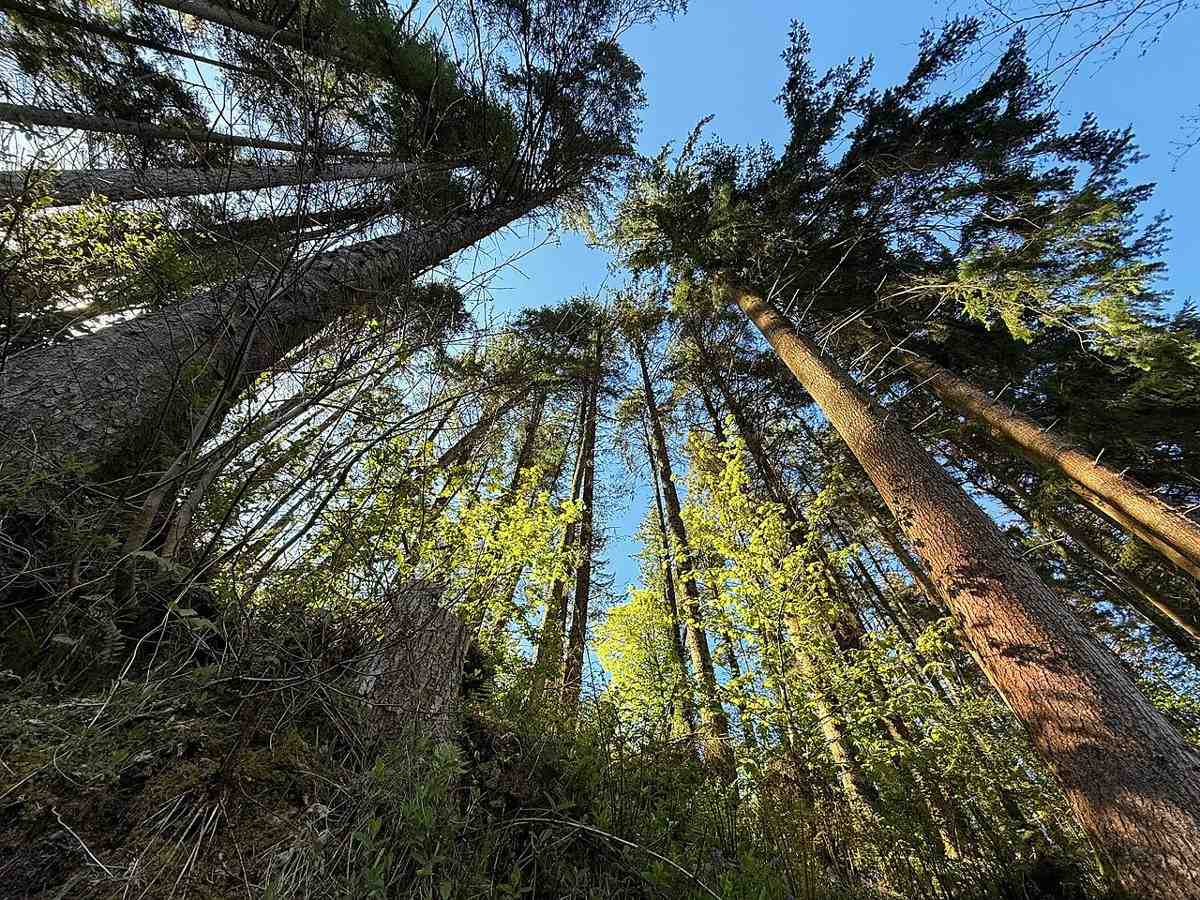
Glenariff offers a change of texture after the Antrim coast: trees, river gorges and falling water instead of open headlands. The wooded setting makes the descent feel enclosed and the wider glen views more striking.
Source-based editorial assessment · out of 10
Choose the actual waymarked route that fits your group. A waterfall destination does not mean the return journey is flat or effortless.
Account for climbing back after a descent. Boardwalks, steps and damp stone need care; ask about a suitable shorter option if a long incline would be difficult.
Best for: A forest outing with different trail choices, wet surfaces near water and height gained again on some returns.
Planning blend: 7.5 / 10 · Sustainability: unrated
Experience considers the reward and depth of this particular stop. Visitor friendliness considers practical ease: arrival, booking, physical demands, cost and flexibility. These are editorial judgements based on linked information, not visitor averages or a claim of a personal visit.
Assessed . Supporting guide source-check date: 2026-10-19. The assessment date does not mean every linked source was newly checked.
The blend uses (40 × Experience + 55 × Visitor friendliness) ÷ 95, rounded to the nearest half point. Missing sustainability does not affect it. A missing current visit score is not zero and has no blend.
A high score is not a safety clearance or a guarantee of step-free access. Food-stop scores concern the planned visit, not an untested meal. Read the scale and scope · Suggest a correction.
From research
Choose the actual waymarked route that fits your group. A waterfall destination does not mean the return journey is flat or effortless.
Know before you book: A forest outing with different trail choices, wet surfaces near water and height gained again on some returns.
Place highlights
The enclosed river scenery is the reason to choose this park over a generic woodland stop. Follow the managed route and current notices.
Where the path opens, stop and compare the scale of the valley with the narrow gorge below.
The story behind the visit
Glenariff is one of the Glens of Antrim. Water has shaped the steep-sided river landscape, while the forest park now combines recreation, planted woodland and conservation areas. Source ↗
Dated visitor information
Navigate to Glenariff Forest Park’s signed visitor entrance, not a similarly named village river walk. Verify the final rural transfer if using public transport. Official visitor information ↗
Source information checked 19 October 2026; confirm current access and visitor arrangements with the operator.
No. The park has different routes; choose the marked trail and confirm it is currently open. Source ↗
Not automatically. The gorge route and return can involve sustained changes in height. Source ↗
Nearby options
Distances are straight-line estimates between catalogue pins, within 30 km. Roads, entrances and walking routes may be much longer. Known closed places are excluded; inclusion does not confirm opening today.
nature · 21.6 km
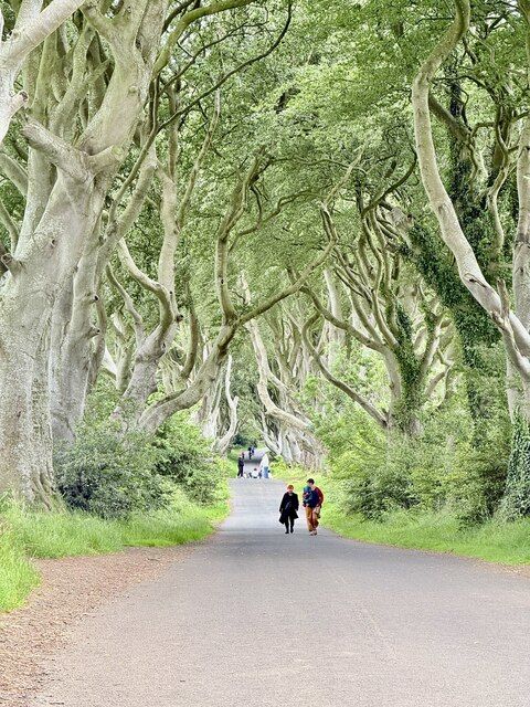
The Dark Hedges is a short avenue, not a forest hike. Its attraction is the way mature beech limbs lean across the road, producing a tunnel whose appearance changes with light, weather and the remaining trees.
Open place page →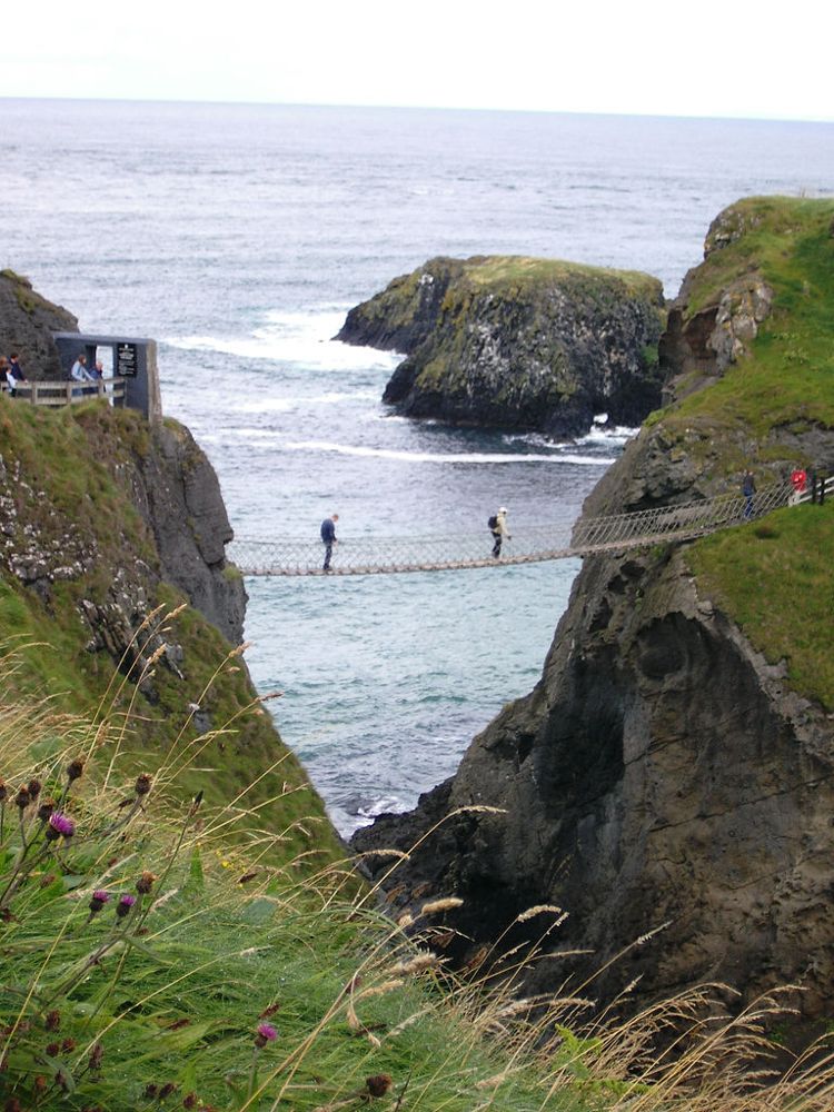
coast · 29.0 km
At Carrick-a-Rede, the coastal approach is a substantial part of the experience. The bridge is the brief, memorable crossing within a longer outing above the sea, not something beside the car door.
Open place page →The accessible reviews value both the valley scenery and the walk down to the waterfall. Public accounts also draw attention to the return uphill. Plan around that effort instead of judging the outing only by the attractive downhill photographs.
Original paraphrases of public visitor accounts. These are limited perspectives, not a representative survey or a claim of our own visit. Use current operator information for access and opening.
Location & access
A forest outing with different trail choices, wet surfaces near water and height gained again on some returns.
55.01800, -6.10900 · Reference point; confirm the correct entrance and access. Map © OpenStreetMap contributors.
Source-based place brief. A catalogue reference is not a live availability check or a report of a personal visit.
Visitor details checked 19 October 2026. Page content updated 2026-10-20.