Rock and bridge
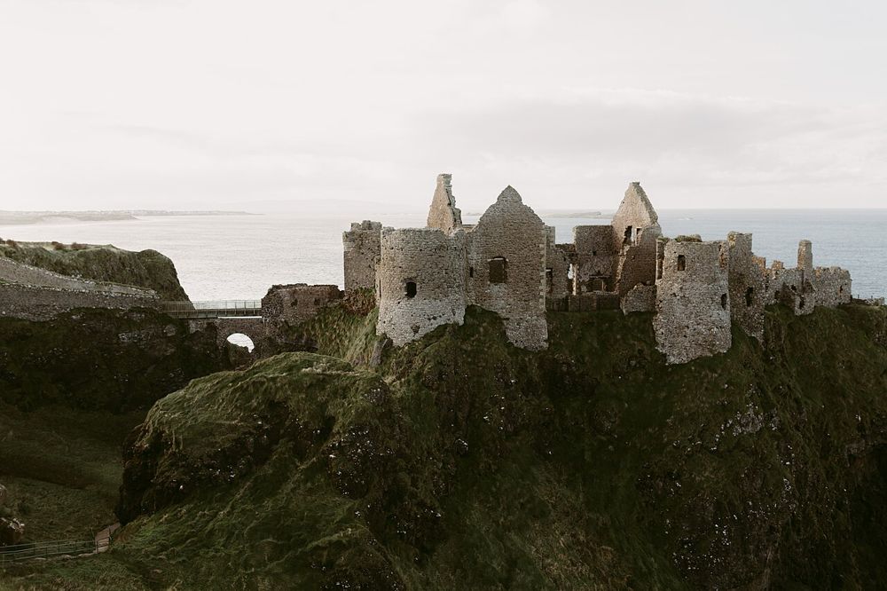
Notice how the approach turns a small coastal stack into a defensible position. Stay within the managed visitor route.
heritage · Antrim · Northern Ireland
Dunluce is a ruin with a very legible geography: a castle gripping a rocky coastal outcrop, separated from the mainland by a narrow approach. The setting is compelling before you know the family names.
Source-based editorial assessment · out of 10
Make room for the interior if medieval power and coastal settlement interest you. The familiar distant view and the visit through the ruins answer different questions.
Wear footwear with grip and follow barriers. A coastal photograph cannot tell you which paths are currently permitted or suitable for a particular mobility need.
Best for: An exposed, ticketed ruin; wind, wet stone and uneven ground are part of the practical decision.
Planning blend: 7.5 / 10 · Sustainability: unrated
Experience considers the reward and depth of this particular stop. Visitor friendliness considers practical ease: arrival, booking, physical demands, cost and flexibility. These are editorial judgements based on linked information, not visitor averages or a claim of a personal visit.
Assessed . Supporting guide source-check date: 2026-10-19. The assessment date does not mean every linked source was newly checked.
The blend uses (40 × Experience + 55 × Visitor friendliness) ÷ 95, rounded to the nearest half point. Missing sustainability does not affect it. A missing current visit score is not zero and has no blend.
A high score is not a safety clearance or a guarantee of step-free access. Food-stop scores concern the planned visit, not an untested meal. Read the scale and scope · Suggest a correction.
From research
Make room for the interior if medieval power and coastal settlement interest you. The familiar distant view and the visit through the ruins answer different questions.
Know before you book: An exposed, ticketed ruin; wind, wet stone and uneven ground are part of the practical decision.
Place highlights
Notice how the approach turns a small coastal stack into a defensible position. Stay within the managed visitor route.
Look for interpretation of the settlement beyond the castle. Archaeology adds ordinary lives to the story of its rulers.
The story behind the visit
The MacQuillans established the castle around 1500; the MacDonnells took it in the following century. A planned town developed in the seventeenth century, leaving archaeological traces beside the dramatic ruin. Source ↗
Dated visitor information
Use the visitor entrance at 87 Dunluce Road, Bushmills BT57 8UY; contact the site on 028 2073 1938 for access details. Official visitor information ↗
Source information checked 19 October 2026; confirm current access and visitor arrangements with the operator.
There are exterior views, but these are separate from admission to the managed castle ruins. Source ↗
Treat dramatic collapse stories as traditions unless the site’s interpretation establishes the particular detail. Source ↗
Nearby options
Distances are straight-line estimates between catalogue pins, within 30 km. Roads, entrances and walking routes may be much longer. Known closed places are excluded; inclusion does not confirm opening today.
coast · 5.5 km
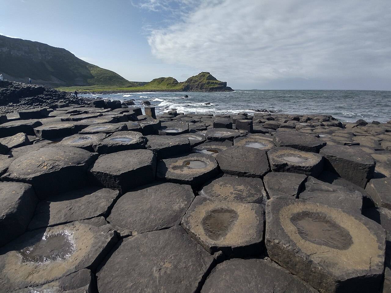
The Giant’s Causeway combines an extraordinary basalt shoreline with a managed visitor experience. Decide how you will arrive and which services you want before travelling.
Open place page →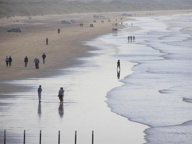
coast · 10.2 km
Portstewart Strand is a substantial beach landscape, with dunes and open sand rather than a small enclosed cove. Its appeal is the room for a proper shore walk, but access and vehicle arrangements shape the…
Open place page →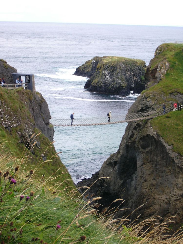
coast · 15.0 km
At Carrick-a-Rede, the coastal approach is a substantial part of the experience. The bridge is the brief, memorable crossing within a longer outing above the sea, not something beside the car door.
Open place page →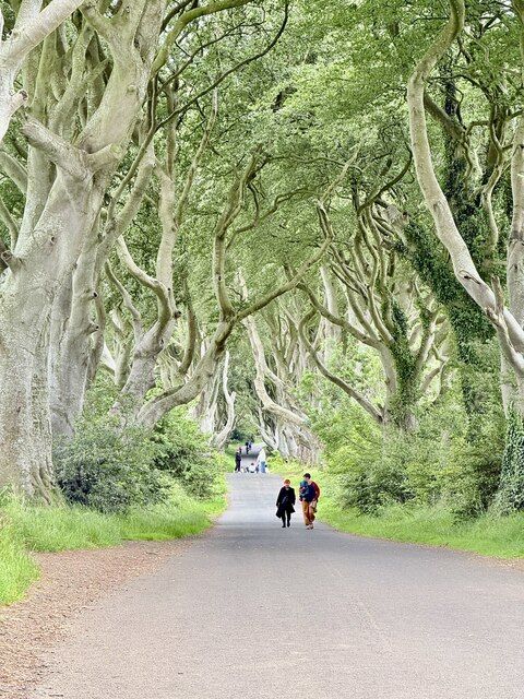
nature · 15.2 km
The Dark Hedges is a short avenue, not a forest hike. Its attraction is the way mature beech limbs lean across the road, producing a tunnel whose appearance changes with light, weather and the remaining trees.
Open place page →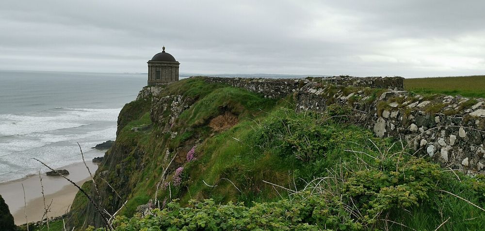
heritage · 16.1 km
Mussenden Temple is striking because of its position, but Downhill Demesne supplies the larger story. The small circular building, ruined house and open coast form one landscape that deserves more than a…
Open place page →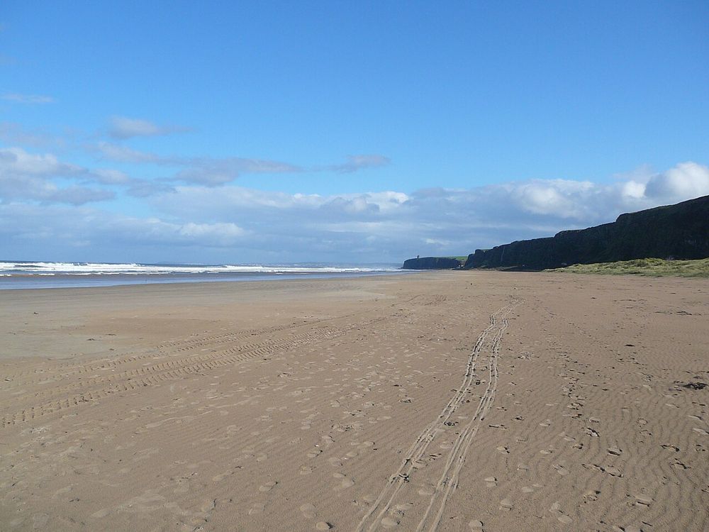
coast · 19.4 km
Benone is a beach for breathing space: broad sand, an open horizon and the coastline continuing towards Downhill. Its scale is the attraction, so a simple shore walk often makes more sense than a crowded…
Open place page →The accessible visitor reviews praise the view and the experience of exploring the ruin. They support its scenic appeal but provide too little detail to establish a reliable crowd pattern. Choose a weather window and avoid treating a photograph stop as a full castle visit.
Original paraphrases of public visitor accounts. These are limited perspectives, not a representative survey or a claim of our own visit. Use current operator information for access and opening.
Location & access
An exposed, ticketed ruin; wind, wet stone and uneven ground are part of the practical decision.
55.21000, -6.57900 · Reference point; confirm the correct entrance and access. Map © OpenStreetMap contributors.
Source-based place brief. A catalogue reference is not a live availability check or a report of a personal visit.
Visitor details checked 19 October 2026. Page content updated 2026-10-20.