Long sandy shore
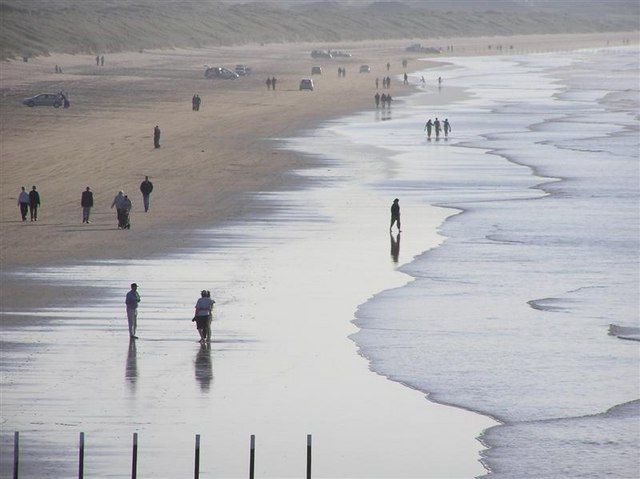
Walk a section that fits the conditions and your return time. Watch for permitted vehicles as well as other beach users.
coast · Derry/Londonderry · Northern Ireland
Portstewart Strand is a substantial beach landscape, with dunes and open sand rather than a small enclosed cove. Its appeal is the room for a proper shore walk, but access and vehicle arrangements shape the experience.
Source-based editorial assessment · out of 10
Choose it for time outside, not as a guaranteed quiet alternative to town. Check the current beach-use rules before bringing a group expecting an empty pedestrian shore.
Use current local signs for tides, water conditions and any lifeguard provision. An attractive beach or busy sea does not establish that swimming is suitable.
Best for: A National Trust-managed strand with tidal, weather and vehicle considerations; this guide recommends a shore visit only.
Planning blend: 7.5 / 10 · Sustainability: unrated
Experience considers the reward and depth of this particular stop. Visitor friendliness considers practical ease: arrival, booking, physical demands, cost and flexibility. These are editorial judgements based on linked information, not visitor averages or a claim of a personal visit.
Assessed . Supporting guide source-check date: 2026-10-19. The assessment date does not mean every linked source was newly checked.
The blend uses (40 × Experience + 55 × Visitor friendliness) ÷ 95, rounded to the nearest half point. Missing sustainability does not affect it. A missing current visit score is not zero and has no blend.
A high score is not a safety clearance or a guarantee of step-free access. Food-stop scores concern the planned visit, not an untested meal. Read the scale and scope · Suggest a correction.
From research
Choose it for time outside, not as a guaranteed quiet alternative to town. Check the current beach-use rules before bringing a group expecting an empty pedestrian shore.
Know before you book: A National Trust-managed strand with tidal, weather and vehicle considerations; this guide recommends a shore visit only.
Place highlights
Walk a section that fits the conditions and your return time. Watch for permitted vehicles as well as other beach users.
Use managed paths and protect the vegetation. The dunes are part of the place’s value, not a shortcut around access controls.
The story behind the visit
The strand and dunes form a natural coastal system beside Portstewart. Recreation and conservation share the same space, which helps explain the need for changing access rules. Source ↗
Dated visitor information
Follow the signed National Trust entrance at the western end of Portstewart. Confirm the correct public arrival rather than navigating to a beach restaurant or driving onto sand uninvited. Official visitor information ↗
Source information checked 19 October 2026; confirm current access and visitor arrangements with the operator.
Only under the current National Trust arrangements and signs; do not infer permission from old photographs. Source ↗
No. Water activities require separate current checks. Source ↗
Nearby options
Distances are straight-line estimates between catalogue pins, within 30 km. Roads, entrances and walking routes may be much longer. Known closed places are excluded; inclusion does not confirm opening today.
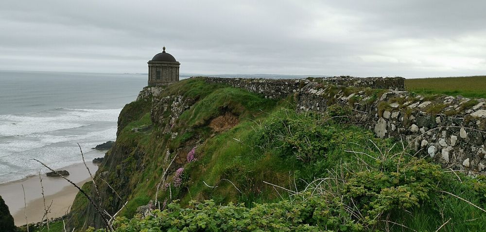
heritage · 6.1 km
Mussenden Temple is striking because of its position, but Downhill Demesne supplies the larger story. The small circular building, ruined house and open coast form one landscape that deserves more than a…
Open place page →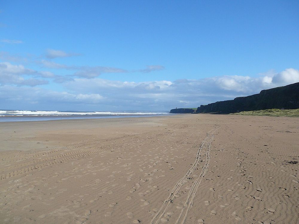
coast · 9.6 km
Benone is a beach for breathing space: broad sand, an open horizon and the coastline continuing towards Downhill. Its scale is the attraction, so a simple shore walk often makes more sense than a crowded…
Open place page →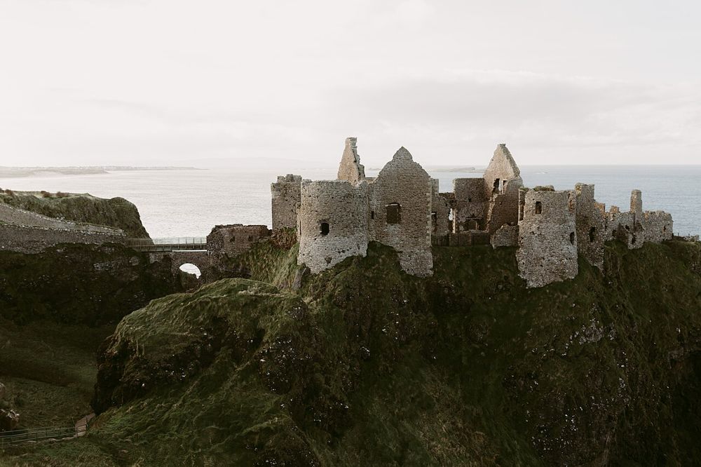
heritage · 10.2 km
Dunluce is a ruin with a very legible geography: a castle gripping a rocky coastal outcrop, separated from the mainland by a narrow approach. The setting is compelling before you know the family names.
Open place page →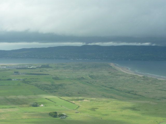
coast · 15.2 km
Magilligan Point is an edge-of-the-map kind of stop: flat open shore, Lough Foyle ahead and the Donegal side clearly part of the view. It rewards a pause more than a long list of activities.
Open place page →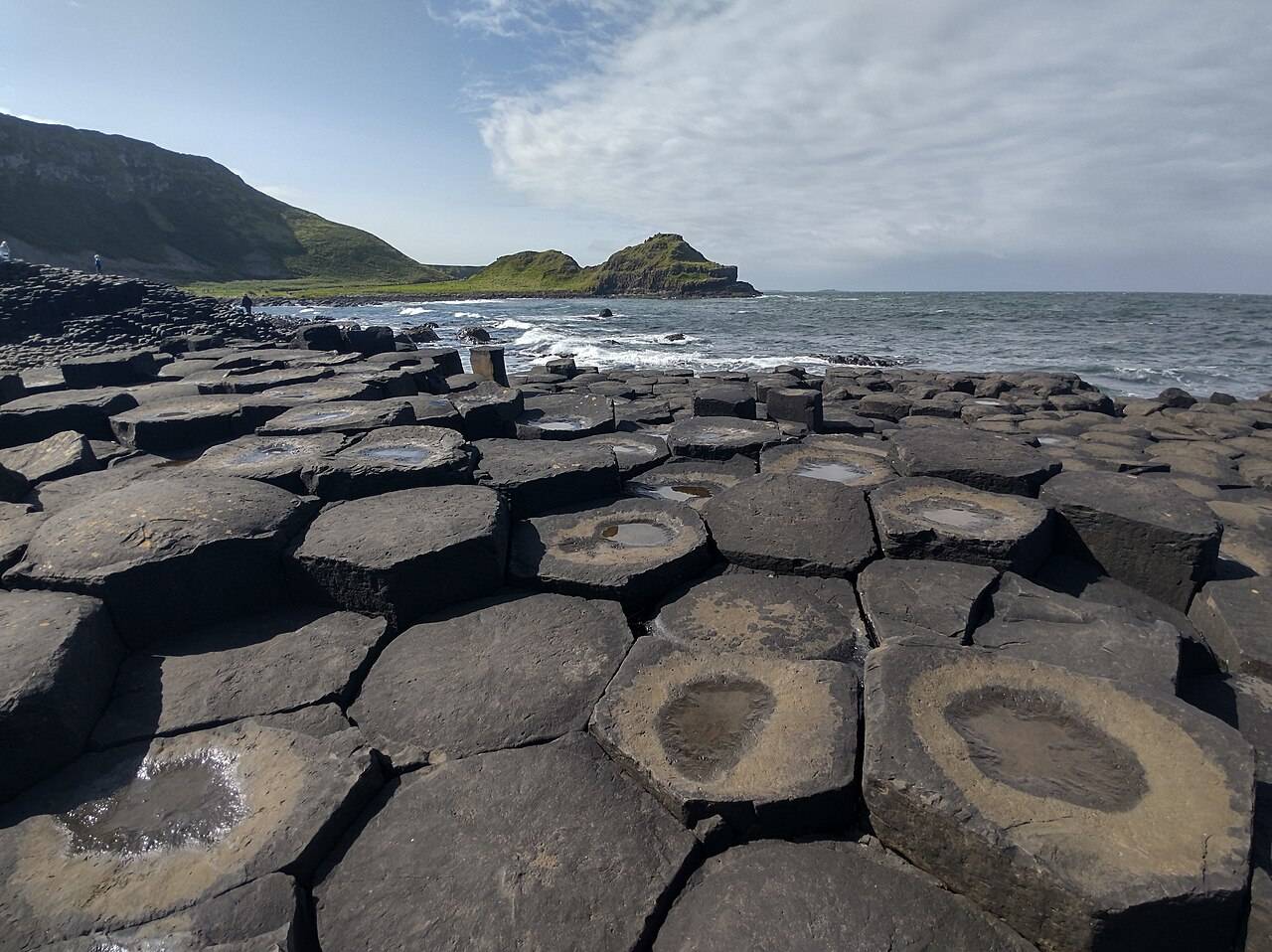
coast · 15.5 km
The Giant’s Causeway combines an extraordinary basalt shoreline with a managed visitor experience. Decide how you will arrive and which services you want before travelling.
Open place page →
nature · 20.8 km
Roe Valley gives the river the leading role. Woodland paths, moving water and traces of former industry make a quieter alternative to the north-coast beach circuit, particularly when you want a walk with…
Open place page →Accessible reviews praise the long sandy walks but raise a clear trade-off: vehicle movements, admission cost and evacuation times can affect a family visit. These are individual dated reports, so check today’s rules rather than copying old prices or assuming the same problems persist.
Original paraphrases of public visitor accounts. These are limited perspectives, not a representative survey or a claim of our own visit. Use current operator information for access and opening.
Location & access
A National Trust-managed strand with tidal, weather and vehicle considerations; this guide recommends a shore visit only.
55.17212, -6.72465 · Reference point; confirm the correct entrance and access. Map © OpenStreetMap contributors.
Source-based place brief. A catalogue reference is not a live availability check or a report of a personal visit.
Visitor details checked 19 October 2026. Page content updated 2026-10-20.