River scenery
Follow a suitable signed path and watch how the river changes between wooded banks and more open stretches.
nature · Derry/Londonderry · Northern Ireland
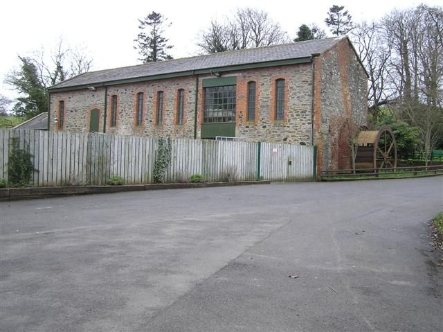
Roe Valley gives the river the leading role. Woodland paths, moving water and traces of former industry make a quieter alternative to the north-coast beach circuit, particularly when you want a walk with something to read along it.
Source-based editorial assessment · out of 10
Choose a defined riverside route and notice the industrial interpretation. That combination makes the park more distinctive than a generic woodland detour.
Confirm the facilities at your chosen entrance. Riverside ground can be wet and uneven, and a short walk still requires suitable footwear.
Best for: A country park with different paths and arrival areas; the whole river corridor is not one uniformly level route.
Planning blend: 8.0 / 10 · Sustainability: unrated
Experience considers the reward and depth of this particular stop. Visitor friendliness considers practical ease: arrival, booking, physical demands, cost and flexibility. These are editorial judgements based on linked information, not visitor averages or a claim of a personal visit.
Assessed . Supporting guide source-check date: 2026-10-19. The assessment date does not mean every linked source was newly checked.
The blend uses (40 × Experience + 55 × Visitor friendliness) ÷ 95, rounded to the nearest half point. Missing sustainability does not affect it. A missing current visit score is not zero and has no blend.
A high score is not a safety clearance or a guarantee of step-free access. Food-stop scores concern the planned visit, not an untested meal. Read the scale and scope · Suggest a correction.
From research
Choose a defined riverside route and notice the industrial interpretation. That combination makes the park more distinctive than a generic woodland detour.
Know before you book: A country park with different paths and arrival areas; the whole river corridor is not one uniformly level route.
Place highlights
Follow a suitable signed path and watch how the river changes between wooded banks and more open stretches.
Look for interpretation of earlier mills and water power. It connects the pleasant present-day setting with people’s work.
The story behind the visit
The river supported industry before the valley became a recreational landscape. That history helps explain surviving structures and the relationship between paths, water and former working areas. Source ↗
Dated visitor information
Use a signed Roe Valley Country Park arrival near Limavady. Check which car park serves your intended walk; the general river pin does not identify a visitor entrance. Official visitor information ↗
Source information checked 19 October 2026; confirm current access and visitor arrangements with the operator.
No general claim is made. Consult the current access information for a specific route. Source ↗
Yes. The industrial story and surviving features add a reason to slow down and read. Source ↗
Nearby options
Distances are straight-line estimates between catalogue pins, within 30 km. Roads, entrances and walking routes may be much longer. Known closed places are excluded; inclusion does not confirm opening today.
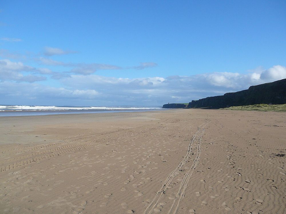
coast · 15.4 km
Benone is a beach for breathing space: broad sand, an open horizon and the coastline continuing towards Downhill. Its scale is the attraction, so a simple shore walk often makes more sense than a crowded…
Open place page →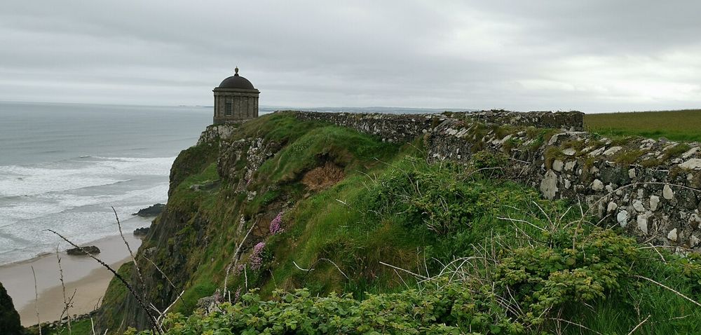
heritage · 16.8 km
Mussenden Temple is striking because of its position, but Downhill Demesne supplies the larger story. The small circular building, ruined house and open coast form one landscape that deserves more than a…
Open place page →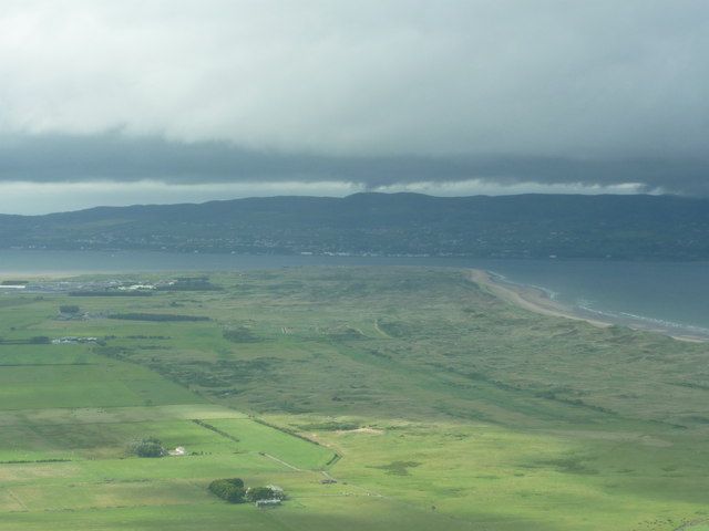
coast · 18.3 km
Magilligan Point is an edge-of-the-map kind of stop: flat open shore, Lough Foyle ahead and the Donegal side clearly part of the view. It rewards a pause more than a long list of activities.
Open place page →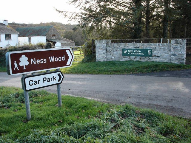
nature · 18.4 km
Ness is a woodland-and-river outing where your starting point matters. Different approaches lead to different gradients, and the waterfall walk should not be confused with every easy-looking path around the…
Open place page →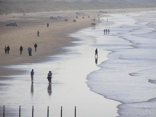
coast · 20.8 km
Portstewart Strand is a substantial beach landscape, with dunes and open sand rather than a small enclosed cove. Its appeal is the room for a proper shore walk, but access and vehicle arrangements shape the…
Open place page →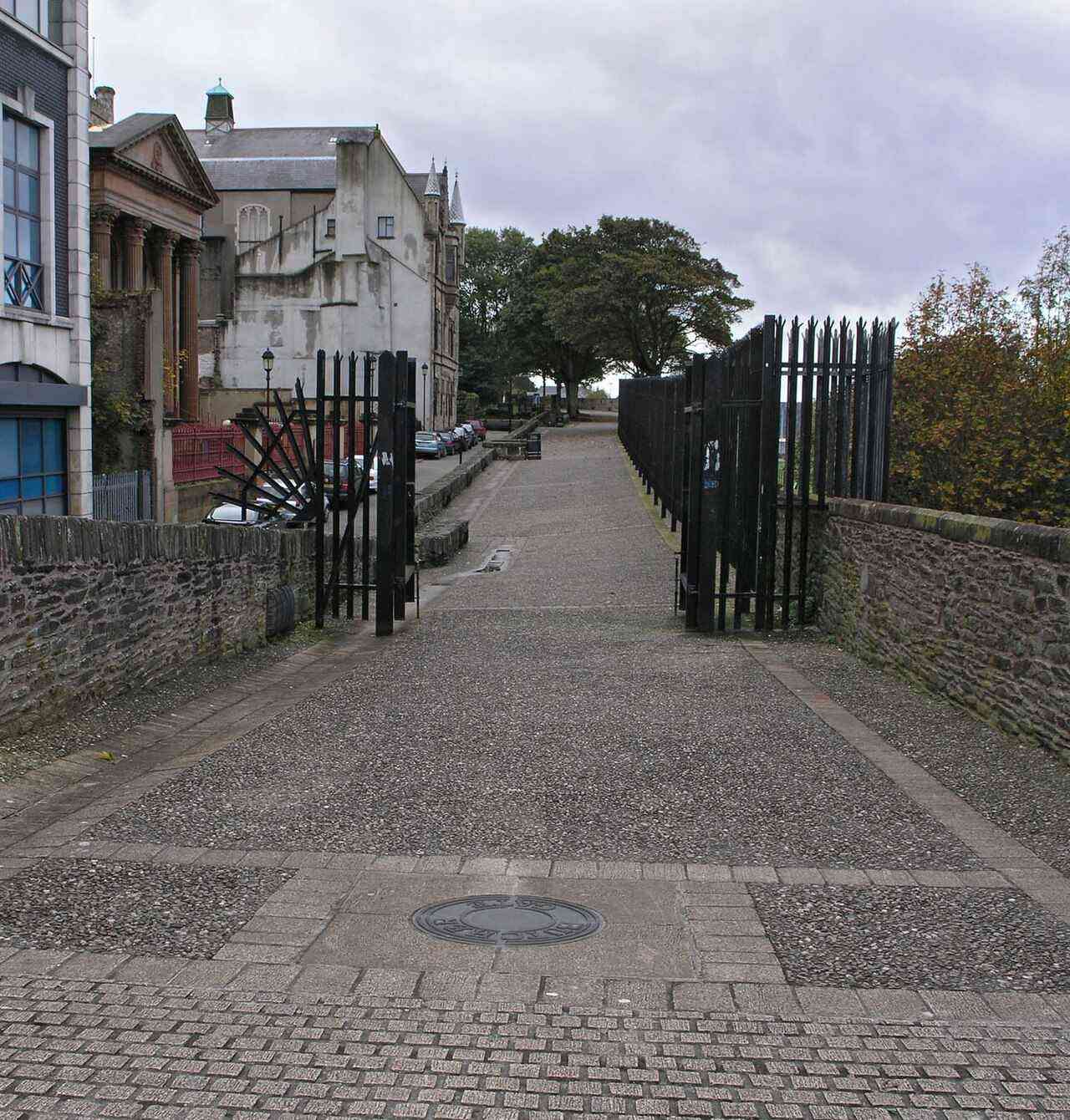
city · 23.6 km
Derry offers a compact city visit organised around its walls, river and layered history. A considered walk and one chosen museum or guided tour make a coherent first day.
Open place page →The accessible visitor accounts describe enjoyable walks and a peaceful riverside setting, with some reviews focused on café experiences rather than trails. Separate those topics when planning: a good meal report does not establish route condition or that the café will be open on your date.
Original paraphrases of public visitor accounts. These are limited perspectives, not a representative survey or a claim of our own visit. Use current operator information for access and opening.
Location & access
A country park with different paths and arrival areas; the whole river corridor is not one uniformly level route.
55.03200, -6.94200 · Reference point; confirm the correct entrance and access. Map © OpenStreetMap contributors.
Source-based place brief. A catalogue reference is not a live availability check or a report of a personal visit.
Visitor details checked 19 October 2026. Page content updated 2026-10-20.