Shannon bridge
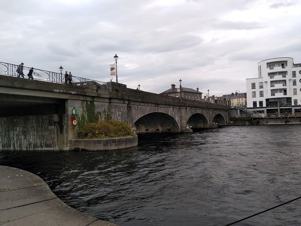
The crossing explains the town's strategic importance immediately.
city · Westmeath
Athlone makes the Shannon feel like the centre of a town rather than a line on a map. Start on the east bank, look across to the castle, and give the bridge and streets time between larger attractions.
Source-based editorial assessment · out of 10
Choose it for a town-and-river break on a Midlands journey. A waterfront stroll does not include a cruise, castle ticket or restaurant recommendation.
Use legal town parking or a confirmed public-transport arrival. Check individual attraction openings separately; the town is not a single ticketed experience.
Best for: Shannon bridge and east-bank streets
Planning blend: 7.5 / 10 · Sustainability: unrated
Experience considers the reward and depth of this particular stop. Visitor friendliness considers practical ease: arrival, booking, physical demands, cost and flexibility. These are editorial judgements based on linked information, not visitor averages or a claim of a personal visit.
Assessed . Supporting guide source-check date: 2026-10-19. The assessment date does not mean every linked source was newly checked.
The blend uses (40 × Experience + 55 × Visitor friendliness) ÷ 95, rounded to the nearest half point. Missing sustainability does not affect it. A missing current visit score is not zero and has no blend.
A high score is not a safety clearance or a guarantee of step-free access. Food-stop scores concern the planned visit, not an untested meal. Read the scale and scope · Suggest a correction.
From research
Choose it for a town-and-river break on a Midlands journey. A waterfront stroll does not include a cruise, castle ticket or restaurant recommendation.
Know before you book: The river gives you a natural point of orientation, so begin there before deciding which streets or separate attractions deserve more time. Looking across to the castle is worthwhile even when an interior visit is unavailable. Keep the town walk flexible instead of letting one closed venue define the whole stop.
Place highlights
The crossing explains the town's strategic importance immediately.
Combine public waterfront space with a slow look through the town centre.
The story behind the visit
Athlone grew around a major Shannon crossing. This guide focuses on the east-bank town centre and views across the river; the castle, galleries and river cruises are separate visits with their own operating arrangements. Source ↗
Dated visitor information
Begin at a public east-bank town-centre arrival point. The pin locates the waterfront area, not a reserved parking space. Official visitor information ↗
Source information checked 19 October 2026; confirm current access and visitor arrangements with the operator.
No. It concerns the town centre and public waterfront views. Castle, gallery and cruise experiences need separate current checks. Source ↗
No. This is not a turn-by-turn trail guide. Use the official map if choosing a named loop rather than a short town-centre walk. Source ↗
Nearby options
Distances are straight-line estimates between catalogue pins, within 30 km. Roads, entrances and walking routes may be much longer. Known closed places are excluded; inclusion does not confirm opening today.
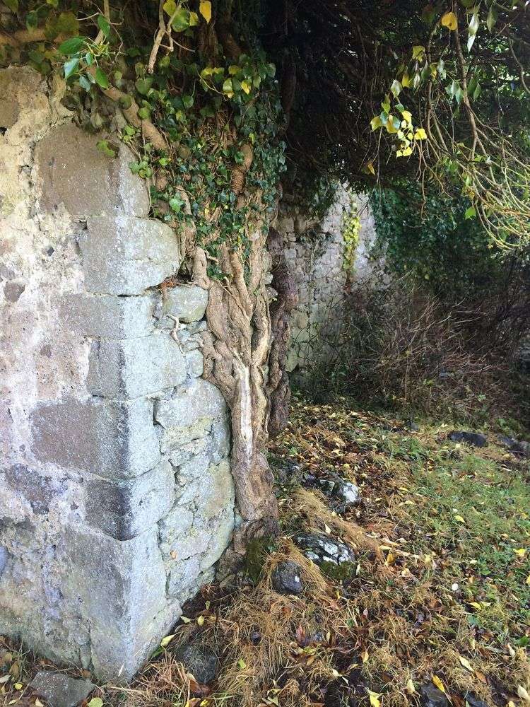
heritage · 14.1 km
Rindoon is a medieval town absorbed into a quiet Lough Ree peninsula. Walls, church remains and the castle sit in a working rural landscape rather than a reconstructed historical village. The unusual reward is…
Open place page →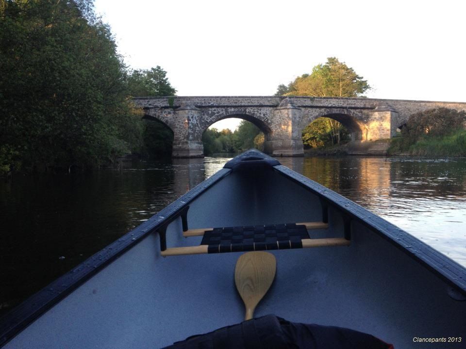
nature · 20.5 km
Newcastle Wood offers a change from open bog and farmland: tree cover, forest tracks and the River Inny give the walk a more enclosed rhythm. Choose a marked route rather than wandering until the return…
Open place page →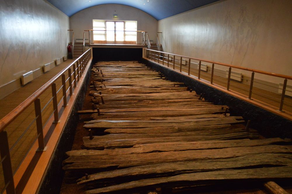
heritage · 22.8 km
Corlea's star exhibit is timber rather than stone: a section of Iron Age road preserved by the bog. The visitor centre explains why a line of old planks deserves a place beside Ireland's better-known monuments.
Open place page →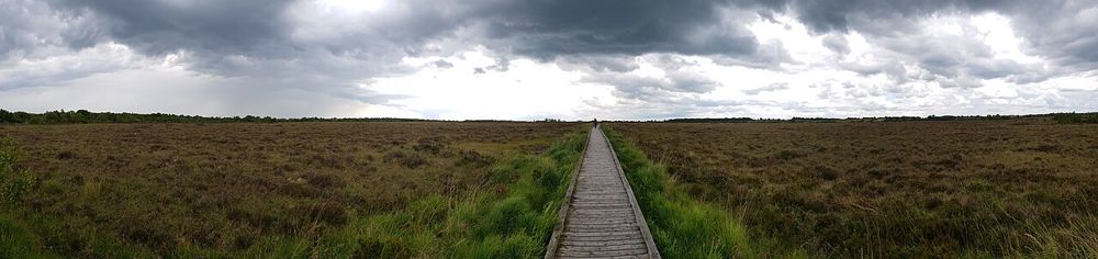
nature · 24.0 km
Clara's boardwalk puts visitors close to a raised bog without asking them to walk on the habitat itself. The reward is in small plants, pools and the feeling of a landscape holding water underfoot.
Open place page →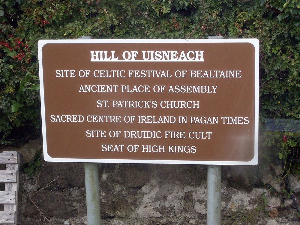
heritage · 25.7 km
Uisneach needs its stories as much as its views. A guided visit turns an apparently gentle hill into a landscape of archaeology, myth and ideas about Ireland's centre.
Open place page →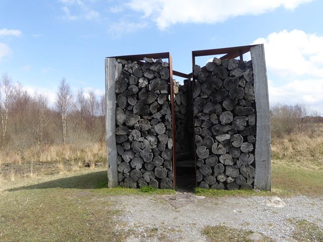
nature · 26.2 km
Boora is open sky, long horizons and unexpected sculpture on former industrial peatland. The art works best when you encounter it through the landscape rather than treat every piece as a quick photo stop.
Open place page →A July 2026 travel account found Athlone worthwhile as a deliberate stop between longer drives and noticed the imposing west-bank buildings across the river. Use that as a reason to pause and look across the water; individual indoor visits need their own current checks.
Original paraphrases of public visitor accounts. These are limited perspectives, not a representative survey or a claim of our own visit. Use current operator information for access and opening.
Location & access
The river gives you a natural point of orientation, so begin there before deciding which streets or separate attractions deserve more time. Looking across to the castle is worthwhile even when an interior visit is unavailable. Keep the town walk flexible instead of letting one closed venue define the whole stop.
53.42300, -7.93600 · Reference point; confirm the correct entrance and access. Map © OpenStreetMap contributors.
Source-based place brief. A catalogue reference is not a live availability check or a report of a personal visit.
Visitor details checked 19 October 2026. Page content updated 2026-10-20.