Preserved road
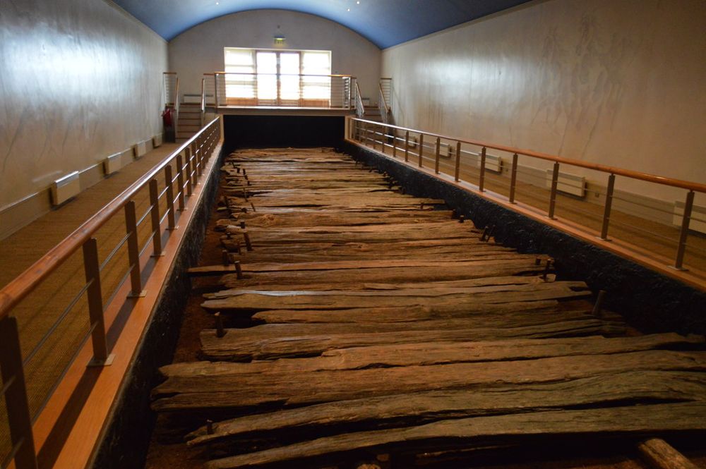
Look at the scale and construction of the ancient oak trackway.
heritage · Longford
Corlea's star exhibit is timber rather than stone: a section of Iron Age road preserved by the bog. The visitor centre explains why a line of old planks deserves a place beside Ireland's better-known monuments.
Source-based editorial assessment · out of 10
Make the detour if archaeology or peatland history interests you. Confirm the seasonal opening first, because the preserved trackway is inside a managed building.
Check the OPW's current season and tour arrangements. Do not assume the protected trackway is visible when the centre is closed.
Best for: Preserved road and bog setting
Planning blend: 7.5 / 10 · Sustainability: unrated
Experience considers the reward and depth of this particular stop. Visitor friendliness considers practical ease: arrival, booking, physical demands, cost and flexibility. These are editorial judgements based on linked information, not visitor averages or a claim of a personal visit.
Assessed . Supporting guide source-check date: 2026-10-19. The assessment date does not mean every linked source was newly checked.
The blend uses (40 × Experience + 55 × Visitor friendliness) ÷ 95, rounded to the nearest half point. Missing sustainability does not affect it. A missing current visit score is not zero and has no blend.
A high score is not a safety clearance or a guarantee of step-free access. Food-stop scores concern the planned visit, not an untested meal. Read the scale and scope · Suggest a correction.
From research
Make the detour if archaeology or peatland history interests you. Confirm the seasonal opening first, because the preserved trackway is inside a managed building.
Know before you book: The object is unusually specific: a road section, not a room full of spectacular gold. Its interest grows as the engineering, dating and preservation are explained. If that sort of archaeology appeals, the compact focus is a strength; if you want a broad museum collection, adjust expectations before arriving.
Place highlights
Look at the scale and construction of the ancient oak trackway.
The surrounding landscape helps explain both the original engineering problem and the remarkable preservation.
The story behind the visit
The trackway was laid in the Iron Age across wet ground. Its survival gives unusually direct evidence of labour, timber use and movement through a prehistoric landscape. Source ↗
Dated visitor information
Follow the official visitor-centre signs near Keenagh; bog roads and private tracks are not alternative entrances. Official visitor information ↗
Source information checked 19 October 2026; confirm current access and visitor arrangements with the operator.
The protected section is displayed inside the visitor centre. A visit when the centre is closed will not provide the same experience. Source ↗
The OPW publishes a season ending 4 November 2026. Recheck the current notice and guided access arrangements before travelling. Source ↗
Nearby options
Distances are straight-line estimates between catalogue pins, within 30 km. Roads, entrances and walking routes may be much longer. Known closed places are excluded; inclusion does not confirm opening today.
nature · 10.9 km
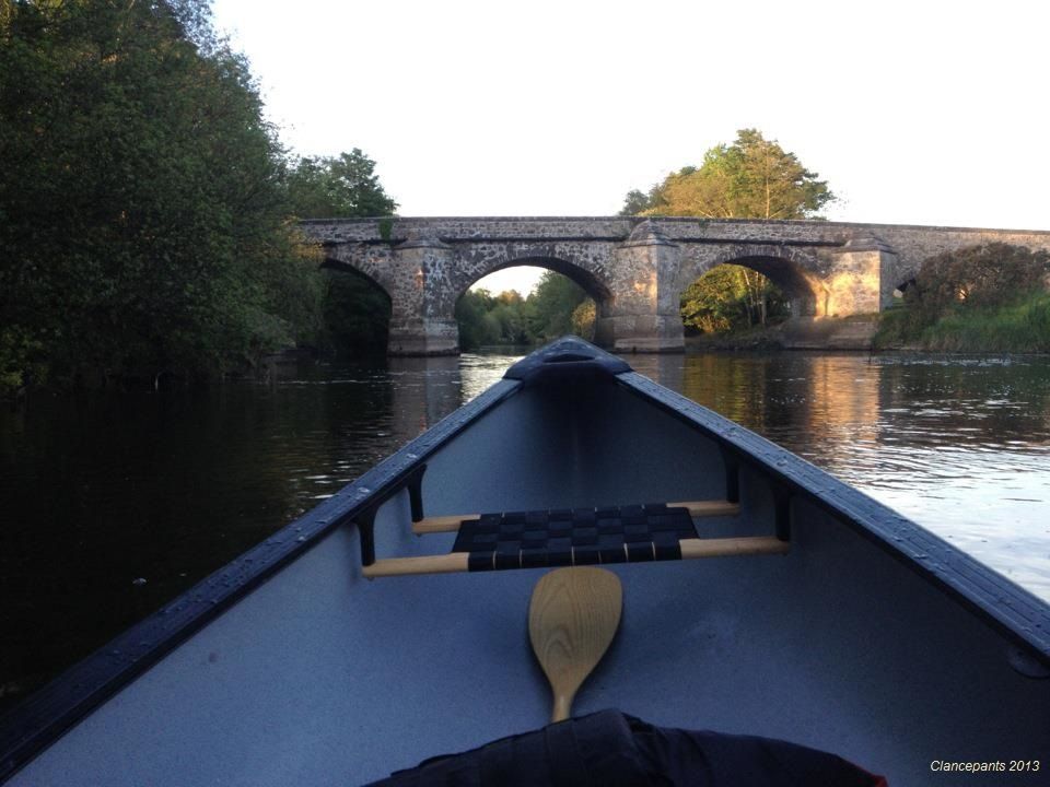
Newcastle Wood offers a change from open bog and farmland: tree cover, forest tracks and the River Inny give the walk a more enclosed rhythm. Choose a marked route rather than wandering until the return…
Open place page →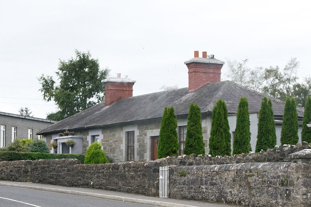
heritage · 11.7 km
Ardagh rewards looking at how a village fits together: stone houses, green spaces and church remains create a coherent small settlement rather than a single headline attraction.
Open place page →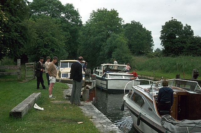
heritage · 12.0 km
Cloondara is a place to watch the meeting of waterways rather than hurry through it. Richmond Harbour gives the Royal Canal a memorable western finish, with boats, locks and village buildings close together.
Open place page →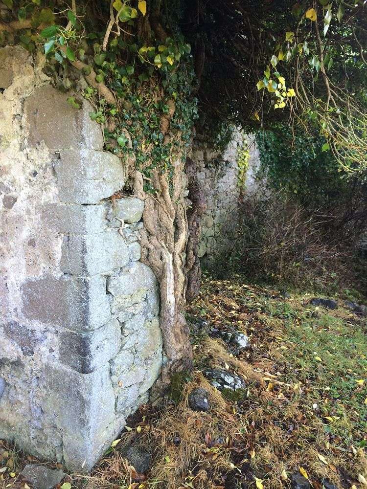
heritage · 12.0 km
Rindoon is a medieval town absorbed into a quiet Lough Ree peninsula. Walls, church remains and the castle sit in a working rural landscape rather than a reconstructed historical village. The unusual reward is…
Open place page →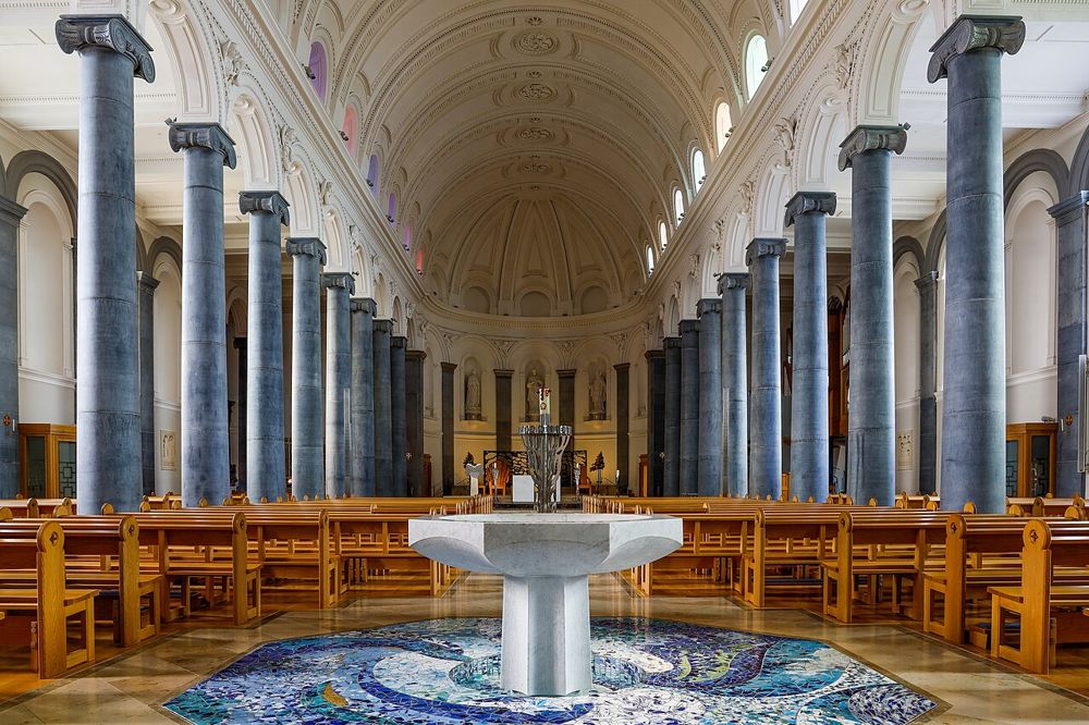
heritage · 12.4 km
St Mel's is a substantial town-centre building with a recent story as striking as its architecture. Seeing the restored interior gives the scale of the community's response to the devastating fire a physical…
Open place page →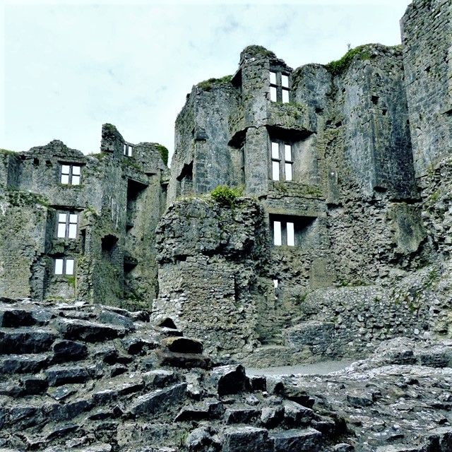
heritage · 22.1 km
Roscommon Castle makes an easy connection between the town and its surrounding parkland. The ruined towers are substantial enough to explain the building’s scale, but the open setting keeps the visit informal.…
Open place page →A detailed account separates the visit into introductory exhibits, a film and guided trackway viewing, noting that there are relatively few loose artefacts. That is good expectation-setting: the preserved road and explanation are the point, rather than a large general archaeology collection.
Original paraphrases of public visitor accounts. These are limited perspectives, not a representative survey or a claim of our own visit. Use current operator information for access and opening.
Location & access
The object is unusually specific: a road section, not a room full of spectacular gold. Its interest grows as the engineering, dating and preservation are explained. If that sort of archaeology appeals, the compact focus is a strength; if you want a broad museum collection, adjust expectations before arriving.
53.62300, -7.85800 · Reference point; confirm the correct entrance and access. Map © OpenStreetMap contributors.
Source-based place brief. A catalogue reference is not a live availability check or a report of a personal visit.
Visitor details checked 19 October 2026. Page content updated 2026-10-20.