Town walls and church
Look for the relationship between the surviving monuments rather than searching only for the castle. The settlement layout is the real distinction.
heritage · Roscommon
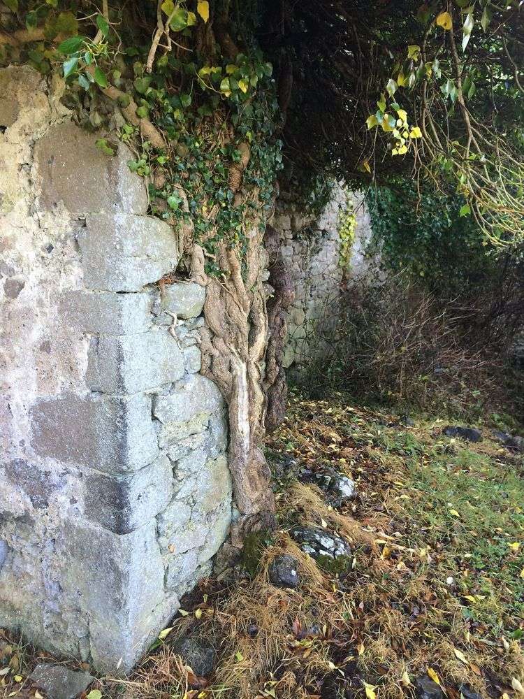
Rindoon is a medieval town absorbed into a quiet Lough Ree peninsula. Walls, church remains and the castle sit in a working rural landscape rather than a reconstructed historical village. The unusual reward is recognising a whole settlement in the ground, but access and livestock conditions must decide how far you go.
Source-based editorial assessment · out of 10
Best for walkers who enjoy archaeology and can handle uneven, sometimes muddy farmland paths. Choose another site if you need a predictable surfaced route or guaranteed unrestricted access.
Follow current signs, gates and landowner restrictions. If livestock, locked gates or closure notices prevent the route, turn back rather than attempting an unofficial bypass.
Best for: A dispersed archaeological landscape on farmland, with gates, livestock and conditions that can interrupt a walk.
Planning blend: 7.0 / 10 · Sustainability: unrated
Experience considers the reward and depth of this particular stop. Visitor friendliness considers practical ease: arrival, booking, physical demands, cost and flexibility. These are editorial judgements based on linked information, not visitor averages or a claim of a personal visit.
Assessed . Supporting guide source-check date: 2026-10-19. The assessment date does not mean every linked source was newly checked.
The blend uses (40 × Experience + 55 × Visitor friendliness) ÷ 95, rounded to the nearest half point. Missing sustainability does not affect it. A missing current visit score is not zero and has no blend.
A high score is not a safety clearance or a guarantee of step-free access. Food-stop scores concern the planned visit, not an untested meal. Read the scale and scope · Suggest a correction.
From research
Best for walkers who enjoy archaeology and can handle uneven, sometimes muddy farmland paths. Choose another site if you need a predictable surfaced route or guaranteed unrestricted access.
Know before you book: A dispersed archaeological landscape on farmland, with gates, livestock and conditions that can interrupt a walk.
Place highlights
Look for the relationship between the surviving monuments rather than searching only for the castle. The settlement layout is the real distinction.
The peninsula explains the town’s defensive and trading position. Stay within the signed permitted route and keep away from unstable ruins and water edges.
The story behind the visit
The Anglo-Norman borough developed in the thirteenth century and was later abandoned. Its lack of dense later rebuilding allows parts of the medieval layout to remain legible, even though the surviving structures are fragmentary and the land continues to be used. Source ↗
Dated visitor information
Use the signed Rindoon approach near Lecarrow and the current authorised walking entrance at St John’s Point. The castle pin is not a drive-up attraction. Official visitor information ↗
Source information checked 19 October 2026; confirm current access and visitor arrangements with the operator.
No. It is a deserted medieval settlement with surviving ruins and earthwork evidence. Source ↗
No. Current livestock, land access and ground conditions take precedence over an older route description. Source ↗
Nearby options
Distances are straight-line estimates between catalogue pins, within 30 km. Roads, entrances and walking routes may be much longer. Known closed places are excluded; inclusion does not confirm opening today.
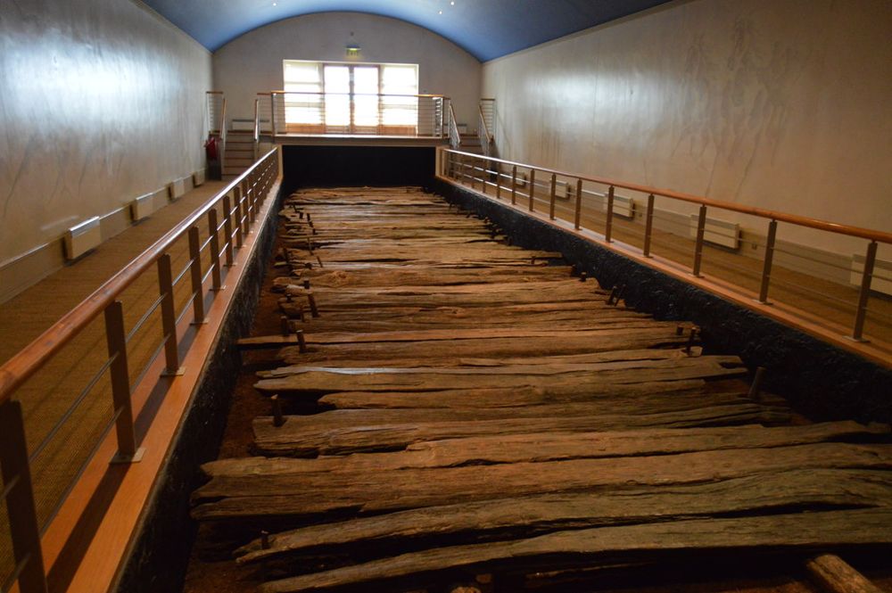
heritage · 12.0 km
Corlea's star exhibit is timber rather than stone: a section of Iron Age road preserved by the bog. The visitor centre explains why a line of old planks deserves a place beside Ireland's better-known monuments.
Open place page →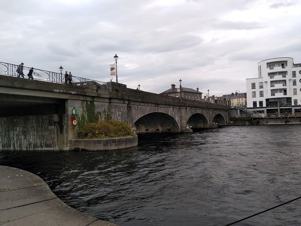
city · 14.1 km
Athlone makes the Shannon feel like the centre of a town rather than a line on a map. Start on the east bank, look across to the castle, and give the bridge and streets time between larger attractions.
Open place page →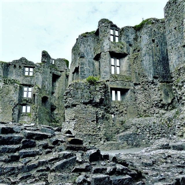
heritage · 16.8 km
Roscommon Castle makes an easy connection between the town and its surrounding parkland. The ruined towers are substantial enough to explain the building’s scale, but the open setting keeps the visit informal.…
Open place page →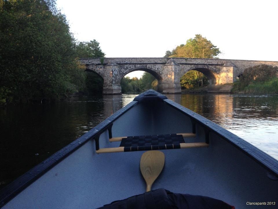
nature · 16.9 km
Newcastle Wood offers a change from open bog and farmland: tree cover, forest tracks and the River Inny give the walk a more enclosed rhythm. Choose a marked route rather than wandering until the return…
Open place page →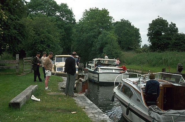
heritage · 21.3 km
Cloondara is a place to watch the meeting of waterways rather than hurry through it. Richmond Harbour gives the Royal Canal a memorable western finish, with boats, locks and village buildings close together.
Open place page →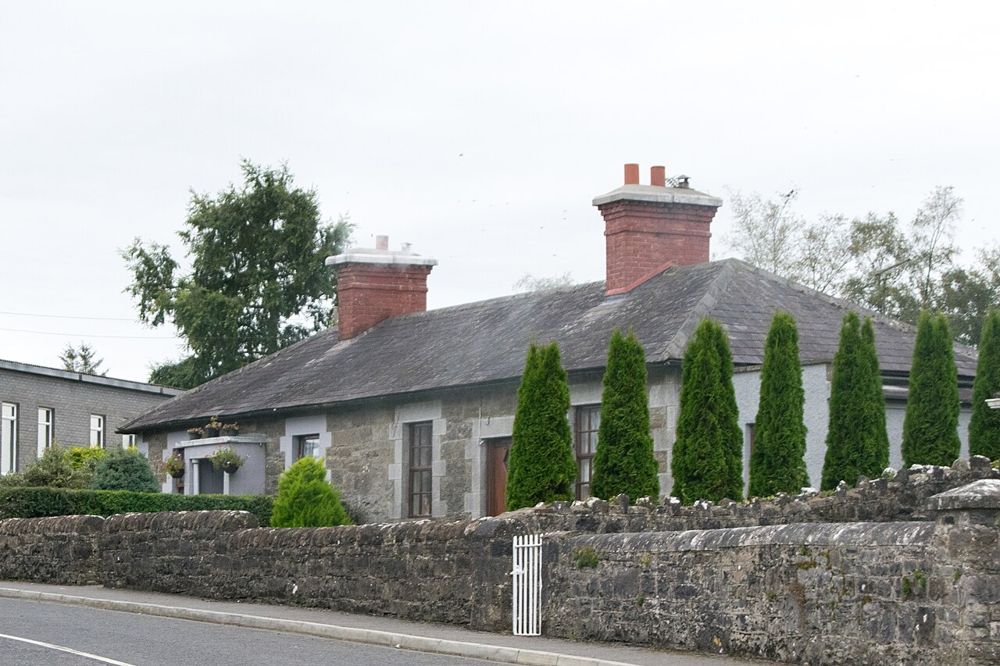
heritage · 23.3 km
Ardagh rewards looking at how a village fits together: stone houses, green spaces and church remains create a coherent small settlement rather than a single headline attraction.
Open place page →An individual account values the combination of farmland, woodland and lakeshore but warns of rough, muddy sections. Other public excerpts mention gates and livestock restrictions. These are reasons to remain flexible, not instructions to bypass a blocked route.
Original paraphrases of public visitor accounts. These are limited perspectives, not a representative survey or a claim of our own visit. Use current operator information for access and opening.
Location & access
A dispersed archaeological landscape on farmland, with gates, livestock and conditions that can interrupt a walk.
53.54600, -7.98500 · Reference point; confirm the correct entrance and access. Map © OpenStreetMap contributors.
Source-based place brief. A catalogue reference is not a live availability check or a report of a personal visit.
Visitor details checked 19 October 2026. Page content updated 2026-10-20.