Floating perspective
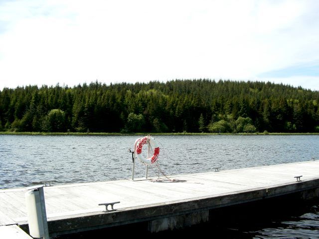
Notice how close the route brings you to the lake surface. Keep to the walkway and leave room for others to pass.
nature · Leitrim
Acres Lake gives Drumshanbo a distinctive way to meet the water: a floating boardwalk rather than a road along the shore. The interest is in the low viewpoint across reeds and lake, not in covering a long distance. Treat it as a pause within a wider town and Blueway visit.
Source-based editorial assessment · out of 10
A good option for a gentle waterside outing when the route is operating normally. A short boardwalk visit can be enough; longer Blueway sections need separate planning.
Check local visitor notices and signs before entering. Weather, water levels or maintenance can affect a floating structure differently from a conventional pavement.
Best for: A waterside boardwalk with a floating section, exposed to weather and dependent on current access conditions.
Planning blend: 8.0 / 10 · Sustainability: unrated
Experience considers the reward and depth of this particular stop. Visitor friendliness considers practical ease: arrival, booking, physical demands, cost and flexibility. These are editorial judgements based on linked information, not visitor averages or a claim of a personal visit.
Assessed . Supporting guide source-check date: 2026-10-19. The assessment date does not mean every linked source was newly checked.
The blend uses (40 × Experience + 55 × Visitor friendliness) ÷ 95, rounded to the nearest half point. Missing sustainability does not affect it. A missing current visit score is not zero and has no blend.
A high score is not a safety clearance or a guarantee of step-free access. Food-stop scores concern the planned visit, not an untested meal. Read the scale and scope · Suggest a correction.
From research
A good option for a gentle waterside outing when the route is operating normally. A short boardwalk visit can be enough; longer Blueway sections need separate planning.
Know before you book: A waterside boardwalk with a floating section, exposed to weather and dependent on current access conditions.
Place highlights
Notice how close the route brings you to the lake surface. Keep to the walkway and leave room for others to pass.
The wetland setting is worth watching quietly. Keep food and rubbish secure and avoid disturbing birds near the route.
The story behind the visit
The boardwalk forms part of the Shannon Blueway landscape around Drumshanbo. Its floating construction makes a familiar lake setting feel different, while nearby industrial-history interpretation explains another side of the region. Source ↗
Dated visitor information
Use the signed Acres Lake visitor area in Drumshanbo. The boardwalk is a distinct place from Lough Allen itself, so check the actual entrance rather than navigating to the larger lake. Official visitor information ↗
Source information checked 19 October 2026; confirm current access and visitor arrangements with the operator.
No. It is one short, distinctive section within a much larger network. Source ↗
Check the current route and any access requirements directly; a published boardwalk photograph does not show every approach condition. Source ↗
Nearby options
Distances are straight-line estimates between catalogue pins, within 30 km. Roads, entrances and walking routes may be much longer. Known closed places are excluded; inclusion does not confirm opening today.
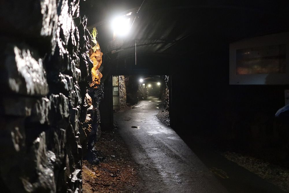
attraction · 5.9 km
Arigna makes industrial history physical. Going underground with a guide changes what narrow coal seams and hard working conditions mean in a way that a surface panel cannot. The hilltop setting adds a…
Open place page →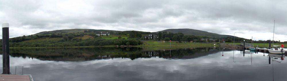
nature · 6.0 km
Sliabh an Iarainn rises above Lough Allen with a broad, rugged profile. Its iron-working history gives the scenery another dimension, but the mountain should not be treated as an easy extension of a lakeside…
Open place page →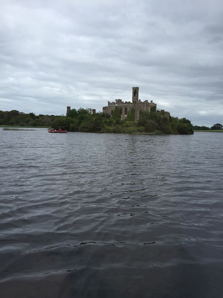
nature · 14.5 km
Lough Key is a forest day that can be quiet or activity-heavy depending on the choices you make. The lake and wooded estate are the constant; paid experiences, play and adventure activities are separate…
Open place page →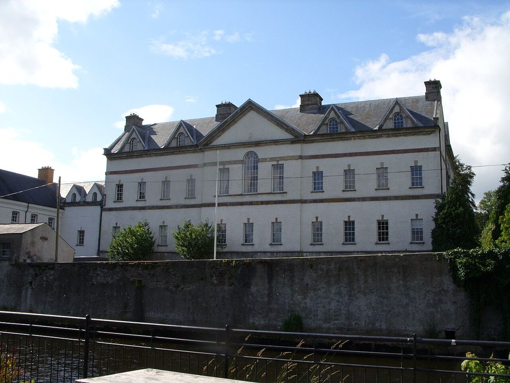
heritage · 19.2 km
King House gives Boyle a substantial indoor heritage stop. Its rooms have served very different purposes, from family home to military use, and the visitor experience follows those changes rather than…
Open place page →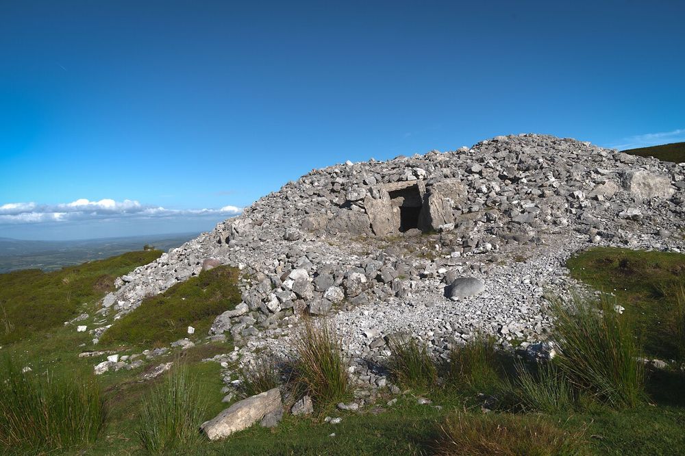
heritage · 22.5 km
Carrowkeel feels different from a staffed heritage attraction. Its passage tombs occupy high ground in the Bricklieve Mountains, and the approach is part of understanding why people chose this landscape. The…
Open place page →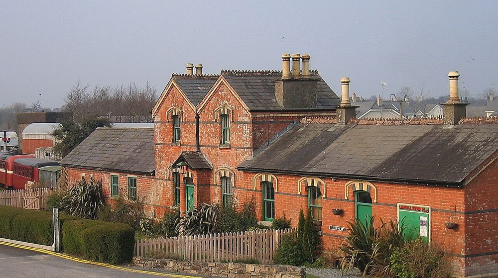
attraction · 22.5 km
Dromod’s Cavan and Leitrim Railway is an enthusiast-led collection with the personality of an ongoing restoration project. The attraction is hearing why the machines matter, not finding every object in a…
Open place page →The limited public review evidence includes discussion of wheelchair access, making the approach an important planning question. These accounts do not replace checking the current path, floating section and any temporary restrictions for your own needs.
Original paraphrases of public visitor accounts. These are limited perspectives, not a representative survey or a claim of our own visit. Use current operator information for access and opening.
Location & access
A waterside boardwalk with a floating section, exposed to weather and dependent on current access conditions.
54.04800, -8.04000 · Reference point; confirm the correct entrance and access. Map © OpenStreetMap contributors.
Source-based place brief. A catalogue reference is not a live availability check or a report of a personal visit.
Visitor details checked 19 October 2026. Page content updated 2026-10-20.