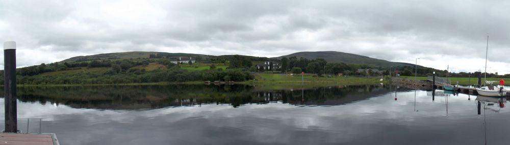
Lough Allen outlook
The mountain’s relationship with the lake is the main visual reward. A clear low-level viewpoint can be more worthwhile than a clouded summit.
nature · Leitrim
Sliabh an Iarainn rises above Lough Allen with a broad, rugged profile. Its iron-working history gives the scenery another dimension, but the mountain should not be treated as an easy extension of a lakeside stroll. Choose a published lower route or a properly prepared hill day according to your experience.
Source-based editorial assessment · out of 10
Best for confident walkers interested in a quieter mountain landscape. If conditions or navigation are doubtful, enjoy the mountain from below and use Drumshanbo’s heritage interpretation instead.
Select a current published walk and carry the appropriate map. A waymarked lower loop is not a guarantee of a clear route to the summit.
Best for: A mountain area with mapped lower routes and rougher higher ground; the broad pin is not a summit-walk instruction.
Planning blend: 6.5 / 10 · Sustainability: unrated
Experience considers the reward and depth of this particular stop. Visitor friendliness considers practical ease: arrival, booking, physical demands, cost and flexibility. These are editorial judgements based on linked information, not visitor averages or a claim of a personal visit.
Assessed . Supporting guide source-check date: 2026-10-19. The assessment date does not mean every linked source was newly checked.
The blend uses (40 × Experience + 55 × Visitor friendliness) ÷ 95, rounded to the nearest half point. Missing sustainability does not affect it. A missing current visit score is not zero and has no blend.
A high score is not a safety clearance or a guarantee of step-free access. Food-stop scores concern the planned visit, not an untested meal. Read the scale and scope · Suggest a correction.
From research
Best for confident walkers interested in a quieter mountain landscape. If conditions or navigation are doubtful, enjoy the mountain from below and use Drumshanbo’s heritage interpretation instead.
Know before you book: A mountain area with mapped lower routes and rougher higher ground; the broad pin is not a summit-walk instruction.
Place highlights
The mountain’s relationship with the lake is the main visual reward. A clear low-level viewpoint can be more worthwhile than a clouded summit.
The name, Mountain of Iron, points to the region’s iron history. Learn that context before looking for remains in places where access may be unclear.
The story behind the visit
The mountain is associated with iron deposits and the region’s industrial past. Interpreting that history adds substance to the view, while the present walking landscape includes both managed paths and much less obvious hill terrain. Source ↗
Dated visitor information
Choose an identified trailhead from current local walking information around Drumshanbo or the mountain’s lower slopes. Do not navigate directly to the approximate mountain pin. Official visitor information ↗
Source information checked 19 October 2026; confirm current access and visitor arrangements with the operator.
No. Higher ground may require separate navigation and route planning. Source ↗
Yes. The lake-side outlook and local industrial interpretation provide a worthwhile alternative. Source ↗
Nearby options
Distances are straight-line estimates between catalogue pins, within 30 km. Roads, entrances and walking routes may be much longer. Known closed places are excluded; inclusion does not confirm opening today.
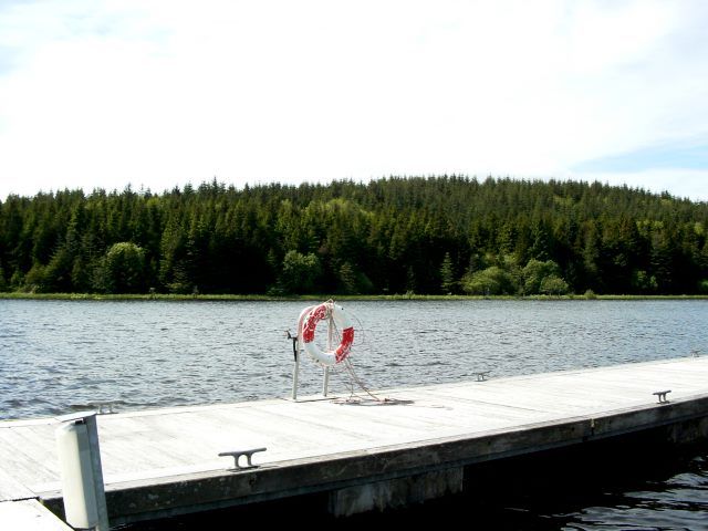
nature · 6.0 km
Acres Lake gives Drumshanbo a distinctive way to meet the water: a floating boardwalk rather than a road along the shore. The interest is in the low viewpoint across reeds and lake, not in covering a long…
Open place page →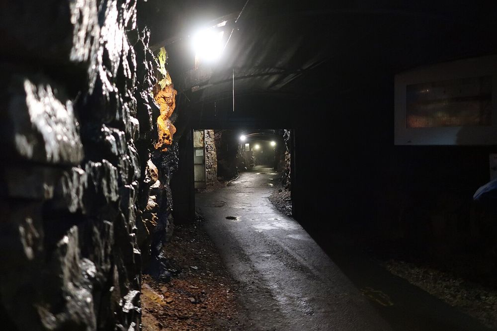
attraction · 9.4 km
Arigna makes industrial history physical. Going underground with a guide changes what narrow coal seams and hard working conditions mean in a way that a surface panel cannot. The hilltop setting adds a…
Open place page →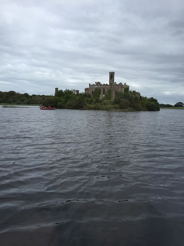
nature · 20.4 km
Lough Key is a forest day that can be quiet or activity-heavy depending on the choices you make. The lake and wooded estate are the constant; paid experiences, play and adventure activities are separate…
Open place page →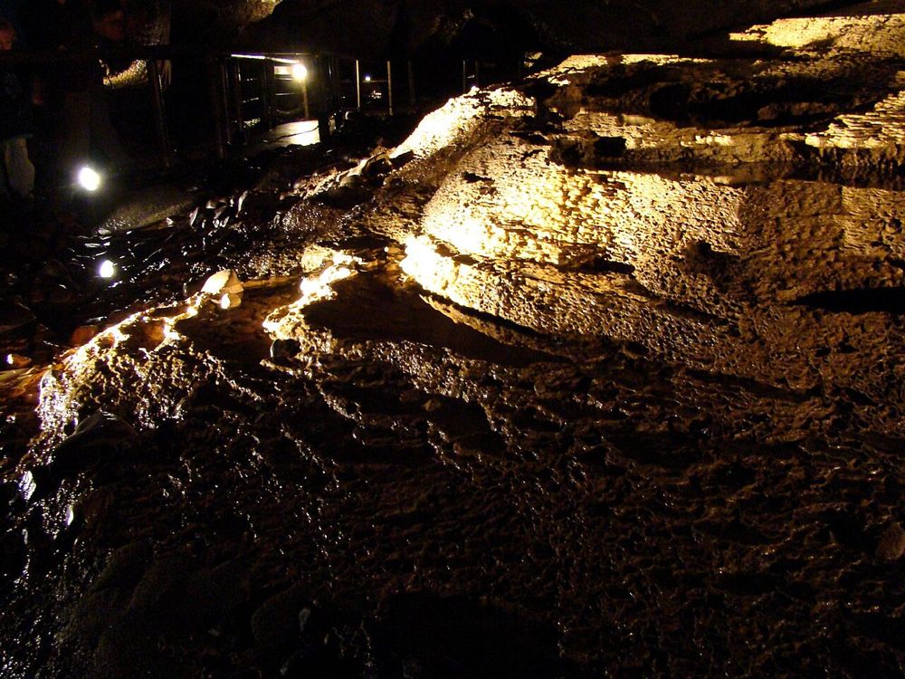
nature · 21.9 km
Marble Arch Caves change the scale of a Fermanagh day: rivers and passages continue beneath the landscape you have been driving through. A guide makes the shapes and water movement easier to understand.
Open place page →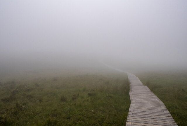
nature · 22.0 km
Cuilcagh’s boardwalk is a mountain walk with a famous staircase, not a wooden pavement that removes the effort. The approach passes from limestone country into blanket bog before the steeper ascent.
Open place page →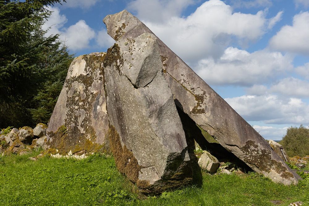
nature · 22.9 km
Cavan Burren Park turns a woodland outing into something more curious: glacial boulders, limestone features and prehistoric tombs interrupt the walk. Start with the trail map instead of simply following the…
Open place page →An individual walker describes grassy and boggy terrain with uncertain summit navigation. Public trail excerpts also mention wet ground away from gravel paths. These accounts support planning the route carefully, not treating the mountain as an effortless photo stop.
Original paraphrases of public visitor accounts. These are limited perspectives, not a representative survey or a claim of our own visit. Use current operator information for access and opening.
Location & access
A mountain area with mapped lower routes and rougher higher ground; the broad pin is not a summit-walk instruction.
54.08400, -7.97100 · Reference point; confirm the correct entrance and access. Map © OpenStreetMap contributors.
Source-based place brief. A catalogue reference is not a live availability check or a report of a personal visit.
Visitor details checked 19 October 2026. Page content updated 2026-10-20.